Coed-talon

Settlement in Flintshire

Wales

Coed-talon

Corwen Road at Pontybodkin
Corwen Road at Pontybodkin Credit: Colin Pyle

Coed-talon is a small village located in Flintshire, Wales. Situated in the northeastern part of the county, it is surrounded by picturesque countryside and offers a peaceful and rural setting. The village is part of the community of Treuddyn and is conveniently situated between the towns of Mold and Wrexham.

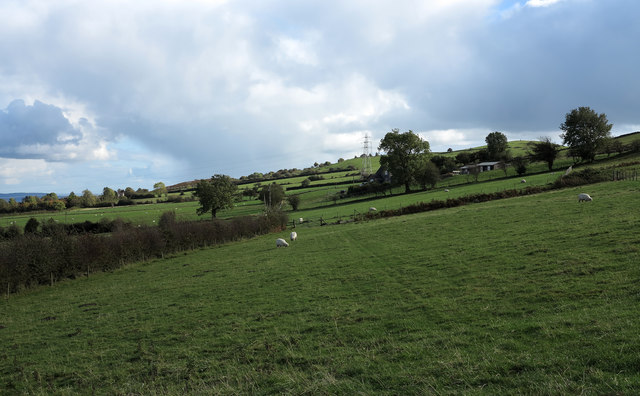
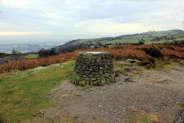
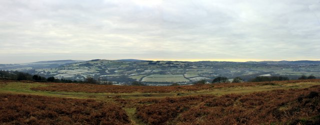
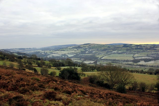
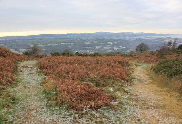
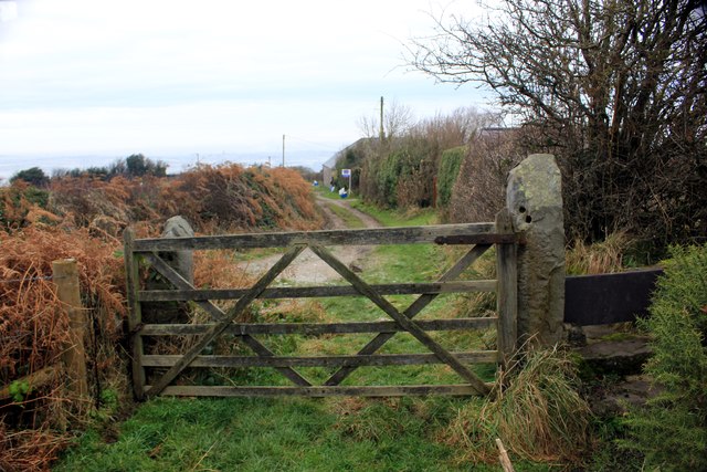
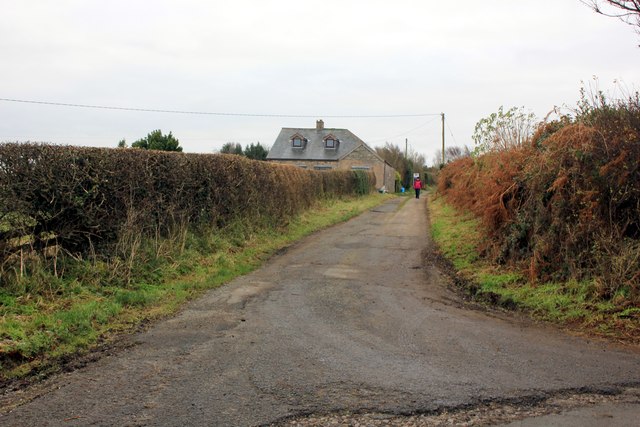
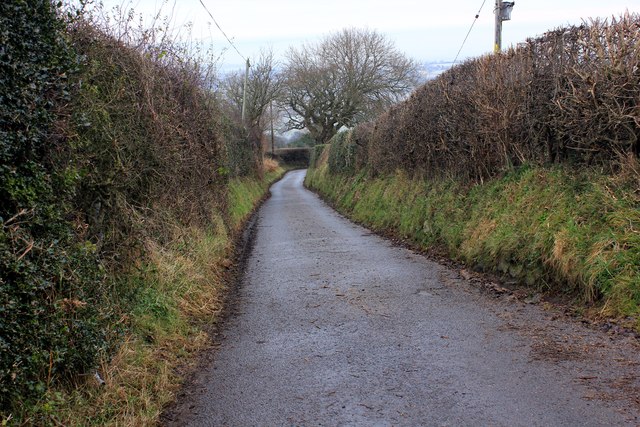
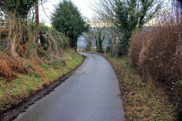
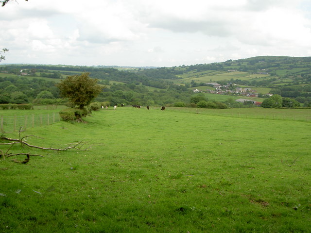
Coed-talon is known for its natural beauty, with rolling hills, lush green fields, and dense woodland areas. The village is nestled within the stunning Clwydian Range Area of Outstanding Natural Beauty, offering residents and visitors excellent opportunities for outdoor activities such as hiking, cycling, and wildlife spotting.

The village itself is relatively small, with a close-knit community. It has a primary school, a community center, and a local pub, serving as a hub for social gatherings and events. The residents of Coed-talon take pride in their village and actively participate in community initiatives and events.

In terms of amenities, Coed-talon benefits from its proximity to nearby towns, where a wider range of facilities and services can be found. Mold, the nearest town, offers a variety of shops, supermarkets, restaurants, and leisure facilities, while Wrexham provides additional options for shopping, entertainment, and employment opportunities.

Coed-talon's location provides excellent transport links, with easy access to major roads and highways. The A541 road runs through the village, connecting it to nearby towns and cities such as Chester and Liverpool. Additionally, there are regular bus services available, facilitating commuting and travel within the region.

Overall, Coed-talon offers a charming and idyllic village lifestyle, with its stunning natural surroundings, close community spirit, and convenient location within Flintshire.

If you have any feedback on the listing, please let us know in the comments section below.
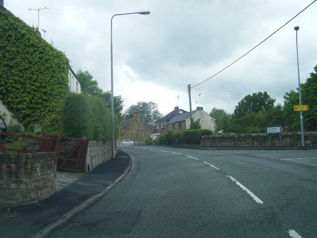
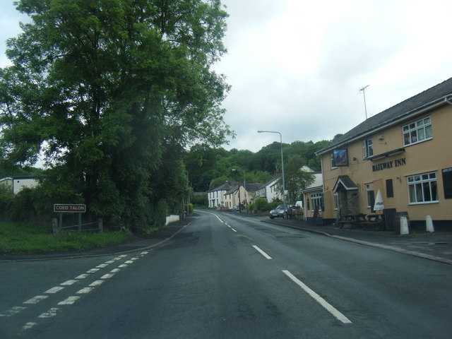
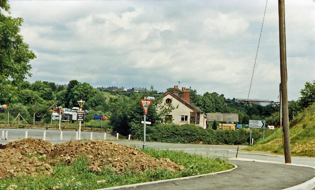
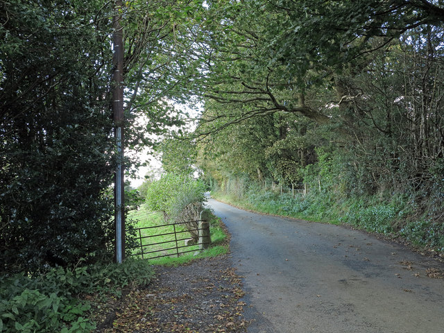
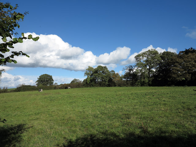
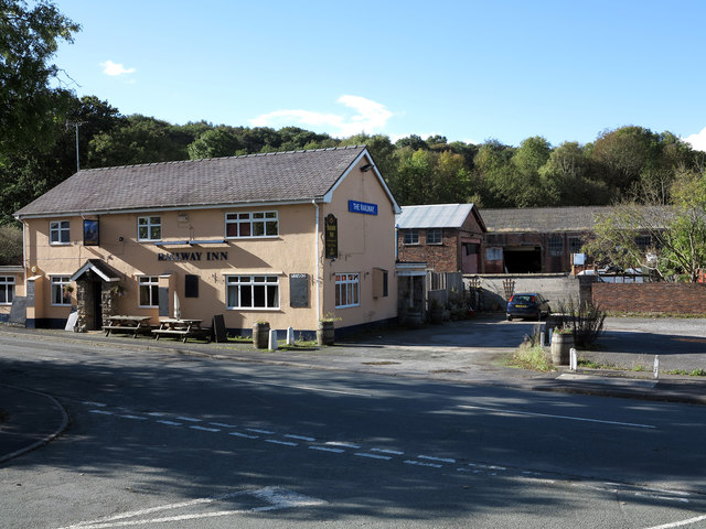
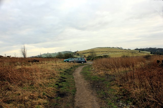
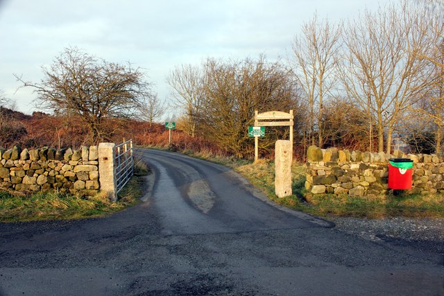
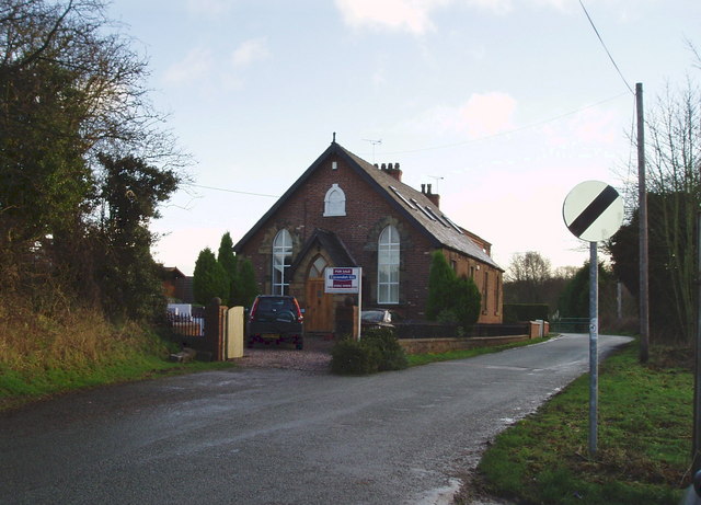
Coed-talon Images

Images are sourced within 2km of 53.114973/-3.090785 or Grid Reference SJ2758. Thanks to Geograph Open Source API. All images are credited.

Corwen Road at Pontybodkin
Corwen Road at Coed Talon boundary
Corwen Road at Treuddyn petrol station
Site of Coed Talon station, 1986 View NE on A5104, at the former crossing of the LNW & GW Joint line from Mold (left) to Brymbo (right). Nothing whatever is to be seen now relating to the railway, the line having been closed finally on 22/7/63, to passengers from 27/3/50.
Site of Coed Talon station, 1986
View NE on A5104, at the former crossing of the LNW & GW Joint line from Mold (left) to Brymbo (right). Nothing whatever is to be seen now relating to the railway, the line having been closed finally on 22/7/63, to passengers from 27/3/50.
Ground rising to Hope Mountain A view over fields from a minor road near to the settlement of Horeb.
Ground rising to Hope Mountain
A view over fields from a minor road near to the settlement of Horeb.
Minor road north-west of Mynydd Bychan The road is seen descending northwards on hill slopes below the Waun-y-Llyn Country Park.
Minor road north-west of Mynydd Bychan
The road is seen descending northwards on hill slopes below the Waun-y-Llyn Country Park.
Field east of Coed-talon The field is passed by a minor road descending to Coed-talon; it also lies south-east of the delightfully named village, Pontybodkin.
Field east of Coed-talon
The field is passed by a minor road descending to Coed-talon; it also lies south-east of the delightfully named village, Pontybodkin.
The Railway Inn and other buildings The Railway Inn is in the village of  Coed-talon on the A5104 between Treuddyn and Pontybodkin. There's no longer a railway there of course.
The Railway Inn and other buildings
The Railway Inn is in the village of Coed-talon on the A5104 between Treuddyn and Pontybodkin. There's no longer a railway there of course.
Car Park at Waen y Llyn Country Park Looking back towards the car park.
Car Park at Waen y Llyn Country Park
Looking back towards the car park.
Waen y Llyn Country Park Viewpoint & Toposcope The viewpoint at Waen y Llyn Country Park has a toposcope indicating the surrounding area.
Waen y Llyn Country Park Viewpoint & Toposcope
The viewpoint at Waen y Llyn Country Park has a toposcope indicating the surrounding area.
View from Waen y Llyn Looking east from the viewpoint.
View from Waen y Llyn
Looking east from the viewpoint.
View from Waen y Llyn Country Park
Pathway at Waen y Llyn Country Park Waen y Llyn Country Park near Hope Mountain.
Pathway at Waen y Llyn Country Park
Waen y Llyn Country Park near Hope Mountain.
Stile and Gate at Waen y Llyn Country Park One of the entrances to Waen y Llyn Country Park at its northern end.
Stile and Gate at Waen y Llyn Country Park
One of the entrances to Waen y Llyn Country Park at its northern end.
Lane at Berth Lane at Berth leading to Waen y Llyn Country Park.
Lane at Berth
Lane at Berth leading to Waen y Llyn Country Park.
Country Lane at Berth Lane at Berth heading east.
Country Lane at Berth
Lane at Berth heading east.
Lane to Pontybodkin Lane heading west from Berth to Pontybodkin.
Lane to Pontybodkin
Lane heading west from Berth to Pontybodkin.
Entrance to Waen y Llyn Country Park Entrance to the car park at Waen y Llyn Country Park.
Entrance to Waen y Llyn Country Park
Entrance to the car park at Waen y Llyn Country Park.
Show me another place!

Coed-talon is located at Grid Ref: SJ2758 (Lat: 53.114973, Lng: -3.090785)

Unitary Authority: Flintshire

Police Authority: North Wales

What 3 Words

///smile.allowable.fruits. Near Treuddyn, Flintshire

Nearby Locations

Coed Talon Coed-talon

Related Wikis

Coed Talon

Coed Talon (also spelt "Coed-talon") is a small, formerly industrial village between Leeswood and Treuddyn in Flintshire, Wales. Its name is derived from...

Coed Talon railway station

Coed Talon railway station was a station in Coed Talon, Flintshire, Wales. The station was opened on 1 January 1892, closed to passengers on 27 March 1950...

Llanfynydd, Flintshire

Llanfynydd is a village, local government community and electoral ward in Flintshire, Wales. Its name is derived from the Welsh words llan ("enclosure...

Llanfynydd railway station

Llanfynydd railway station was a station in Llanfynydd, Flintshire, Wales. The station was opened on 2 May 1898, closed to passengers on 27 March 1950...

Nearby Amenities

Located within 500m of 53.114973,-3.090785
Coed Talon Bank
Ele: 195.68
Natural: peak
Lat/Long: 53.1175039/-3.0951037
Direction: 165
Generator Method: photovoltaic
Generator Output Electricity: yes
Generator Solar Modules: 16
Generator Source: solar
Generator Type: solar_photovoltaic_panel
Location: roof
Power: generator
Lat/Long: 53.110515/-3.0902642
The data included in this document is from www.openstreetmap.org. The data is made available under ODbL.

Have you been to Coed-talon?

Leave your review of Coed-talon below (or comments, questions and feedback).