Coed Talon

Wood, Forest in Flintshire

Wales

Coed Talon

Corwen Road at Pontybodkin
Corwen Road at Pontybodkin Credit: Colin Pyle

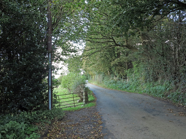
Coed Talon is a wood located in the county of Flintshire, Wales. Situated in the north-eastern part of the country, it covers an area of approximately 200 hectares. The forest is predominantly composed of deciduous trees, including oak, beech, and birch, with some areas also featuring coniferous species like pine and spruce.

The wood is known for its rich biodiversity and is home to a variety of flora and fauna. It serves as a habitat for numerous bird species, such as the great spotted woodpecker, tawny owl, and long-tailed tit. Mammals like badgers, foxes, and squirrels can also be found roaming the forest floor.

Coed Talon offers a range of recreational activities for visitors. There are several walking trails throughout the wood, allowing people to explore its natural beauty and enjoy the peaceful surroundings. The wood also provides opportunities for birdwatching and wildlife spotting, making it an ideal destination for nature enthusiasts.

In addition to its natural attractions, Coed Talon has historical significance. The wood was once part of the estate owned by the influential Talon family, dating back to the medieval period. Remnants of the family's estate can still be seen in the form of old ruins and earthworks scattered throughout the forest.

Overall, Coed Talon is a picturesque woodland in Flintshire, offering a diverse range of flora and fauna, as well as recreational activities for visitors to enjoy. Its combination of natural beauty and historical interest make it a popular destination for both locals and tourists.

If you have any feedback on the listing, please let us know in the comments section below.
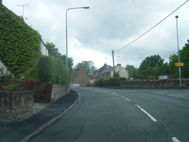
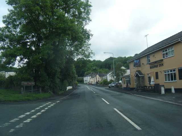
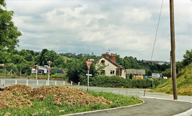
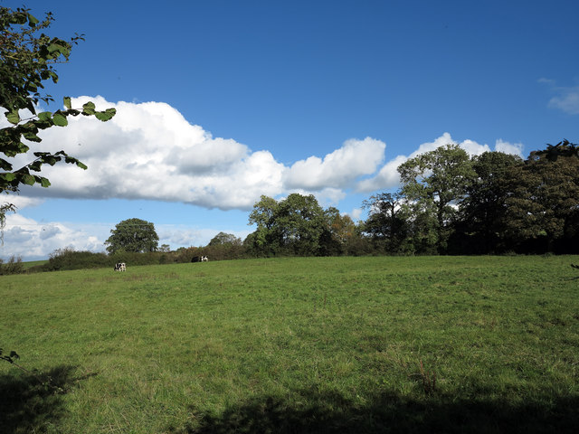
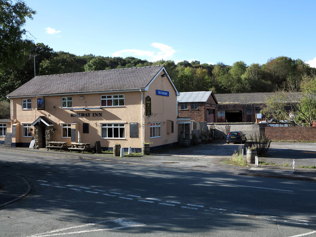
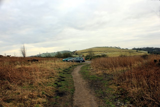
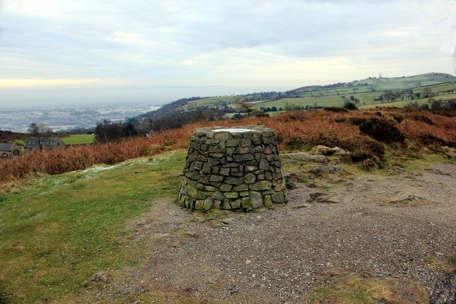
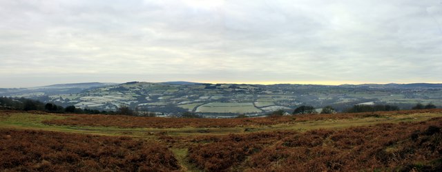
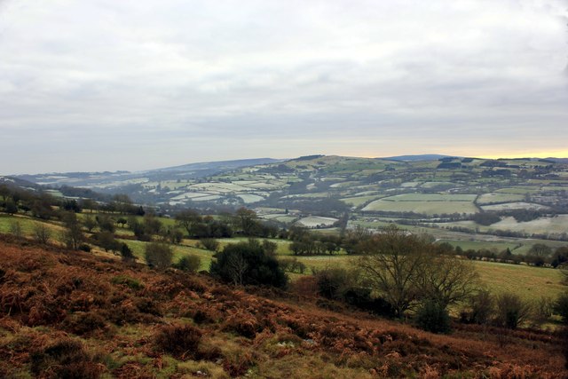
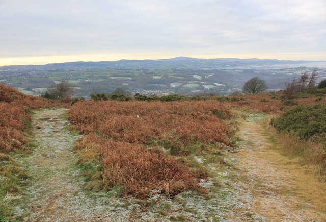
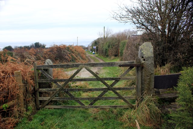
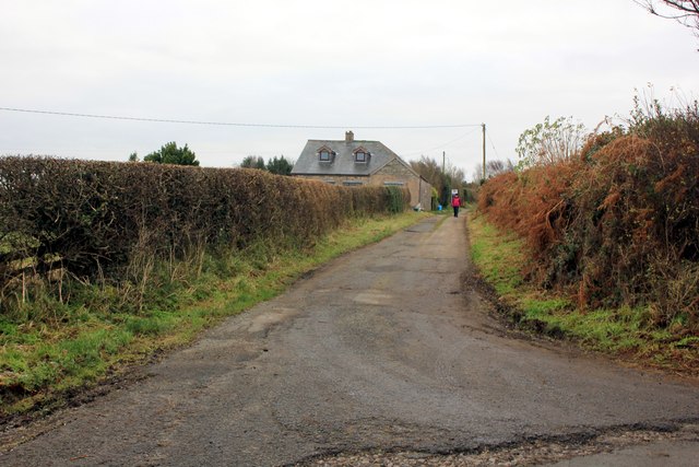
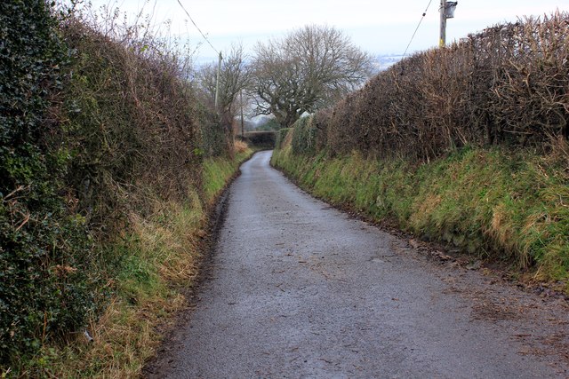
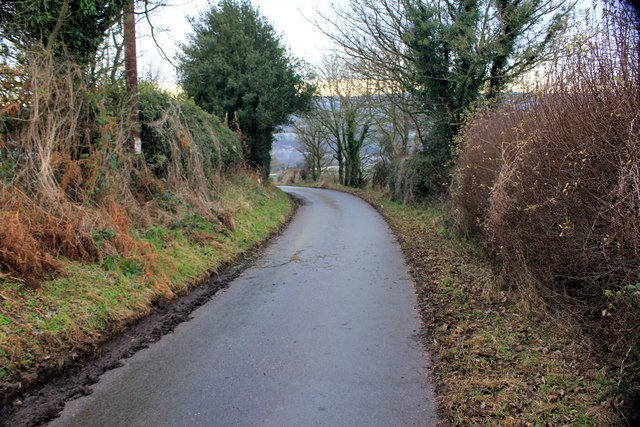
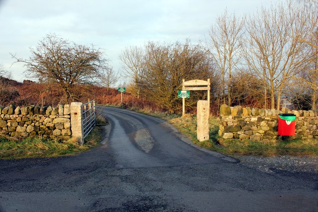
Coed Talon Images

Images are sourced within 2km of 53.118038/-3.0913255 or Grid Reference SJ2758. Thanks to Geograph Open Source API. All images are credited.

Corwen Road at Pontybodkin
Corwen Road at Coed Talon boundary
Corwen Road at Treuddyn petrol station
Site of Coed Talon station, 1986 View NE on A5104, at the former crossing of the LNW & GW Joint line from Mold (left) to Brymbo (right). Nothing whatever is to be seen now relating to the railway, the line having been closed finally on 22/7/63, to passengers from 27/3/50.
Site of Coed Talon station, 1986
View NE on A5104, at the former crossing of the LNW & GW Joint line from Mold (left) to Brymbo (right). Nothing whatever is to be seen now relating to the railway, the line having been closed finally on 22/7/63, to passengers from 27/3/50.
Minor road north-west of Mynydd Bychan The road is seen descending northwards on hill slopes below the Waun-y-Llyn Country Park.
Minor road north-west of Mynydd Bychan
The road is seen descending northwards on hill slopes below the Waun-y-Llyn Country Park.
Field east of Coed-talon The field is passed by a minor road descending to Coed-talon; it also lies south-east of the delightfully named village, Pontybodkin.
Field east of Coed-talon
The field is passed by a minor road descending to Coed-talon; it also lies south-east of the delightfully named village, Pontybodkin.
The Railway Inn and other buildings The Railway Inn is in the village of  Coed-talon on the A5104 between Treuddyn and Pontybodkin. There's no longer a railway there of course.
The Railway Inn and other buildings
The Railway Inn is in the village of Coed-talon on the A5104 between Treuddyn and Pontybodkin. There's no longer a railway there of course.
Car Park at Waen y Llyn Country Park Looking back towards the car park.
Car Park at Waen y Llyn Country Park
Looking back towards the car park.
Waen y Llyn Country Park Viewpoint & Toposcope The viewpoint at Waen y Llyn Country Park has a toposcope indicating the surrounding area.
Waen y Llyn Country Park Viewpoint & Toposcope
The viewpoint at Waen y Llyn Country Park has a toposcope indicating the surrounding area.
View from Waen y Llyn Looking east from the viewpoint.
View from Waen y Llyn
Looking east from the viewpoint.
View from Waen y Llyn Country Park
Pathway at Waen y Llyn Country Park Waen y Llyn Country Park near Hope Mountain.
Pathway at Waen y Llyn Country Park
Waen y Llyn Country Park near Hope Mountain.
Stile and Gate at Waen y Llyn Country Park One of the entrances to Waen y Llyn Country Park at its northern end.
Stile and Gate at Waen y Llyn Country Park
One of the entrances to Waen y Llyn Country Park at its northern end.
Lane at Berth Lane at Berth leading to Waen y Llyn Country Park.
Lane at Berth
Lane at Berth leading to Waen y Llyn Country Park.
Country Lane at Berth Lane at Berth heading east.
Country Lane at Berth
Lane at Berth heading east.
Lane to Pontybodkin Lane heading west from Berth to Pontybodkin.
Lane to Pontybodkin
Lane heading west from Berth to Pontybodkin.
Entrance to Waen y Llyn Country Park Entrance to the car park at Waen y Llyn Country Park.
Entrance to Waen y Llyn Country Park
Entrance to the car park at Waen y Llyn Country Park.
Llanfynydd Flintshire Riding on horseback through Llanfynydd.  The Garage is on the left. We were heading back to where we left our trailer.
Llanfynydd Flintshire
Riding on horseback through Llanfynydd. The Garage is on the left. We were heading back to where we left our trailer.
Show me another place!

Coed Talon is located at Grid Ref: SJ2758 (Lat: 53.118038, Lng: -3.0913255)

Unitary Authority: Flintshire

Police Authority: North Wales

What 3 Words

///enchanted.react.scarred. Near Treuddyn, Flintshire

Nearby Locations

Coed-talon Coed Talon

Related Wikis

Coed Talon

Coed Talon (also spelt "Coed-talon") is a small, formerly industrial village between Leeswood and Treuddyn in Flintshire, Wales. Its name is derived from...

Coed Talon railway station

Coed Talon railway station was a station in Coed Talon, Flintshire, Wales. The station was opened on 1 January 1892, closed to passengers on 27 March 1950...

Leeswood

Leeswood (Welsh: Coed-llai) is a village, community and electoral ward in Flintshire, Wales, about four miles from the historic market town of Mold. At...

Treuddyn

Treuddyn is a village, community and electoral ward in Flintshire, Wales, located just off the A5104 road, around 4 miles south-east of Mold and 3 miles...

Nearby Amenities

Located within 500m of 53.118038,-3.0913255
Leisure: playground
Lat/Long: 53.1217152/-3.0940262
Coed Talon Bank
Ele: 195.68
Natural: peak
Lat/Long: 53.1175039/-3.0951037
The data included in this document is from www.openstreetmap.org. The data is made available under ODbL.

Have you been to Coed Talon?

Leave your review of Coed Talon below (or comments, questions and feedback).