Blacklonning Wood
Wood, Forest in Cumberland Carlisle
England
Blacklonning Wood
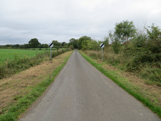
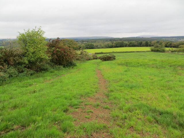
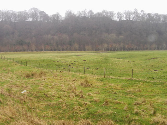
Blacklonning Wood is a picturesque forest located in the county of Cumberland, England. Covering an area of approximately 200 acres, it is nestled within the rolling hills and lush countryside of this historic region. The woodland is known for its rich biodiversity and stunning natural beauty, attracting both locals and tourists alike.
The forest is predominantly composed of native deciduous trees, such as oak, birch, and beech, which form a dense and vibrant canopy overhead. These towering trees provide shelter and habitat for a wide array of wildlife, including various bird species, mammals, and insects. The woodland floor is covered with a carpet of ferns, mosses, and wildflowers, adding to the enchanting atmosphere.
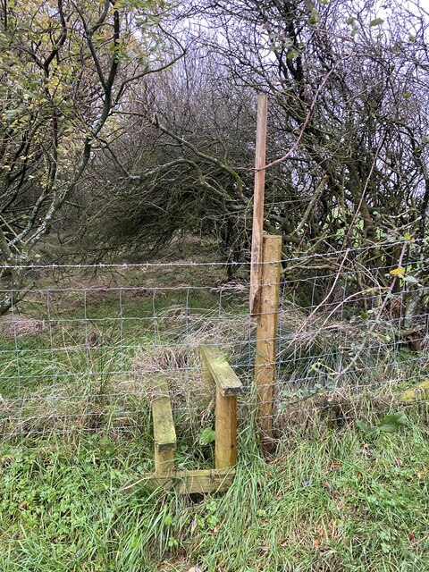
A network of well-maintained trails weaves its way through the forest, allowing visitors to explore its hidden corners and discover its hidden gems. These pathways cater to both leisurely strolls and more adventurous hikes, catering to visitors of all fitness levels. Along the trails, informative signage provides details about the flora and fauna, enhancing the educational aspect of the woodland experience.
Blacklonning Wood is not only a haven for nature enthusiasts but also offers recreational opportunities. There are designated picnic areas and open spaces where families and friends can gather for a day out in nature. Additionally, the forest is a popular spot for birdwatching, photography, and nature studies.
Overall, Blacklonning Wood in Cumberland is a treasured natural gem, offering a peaceful and serene escape from the hustle and bustle of everyday life. Its beauty and ecological significance make it a must-visit destination for anyone seeking to connect with nature and immerse themselves in the splendor of the English countryside.
If you have any feedback on the listing, please let us know in the comments section below.
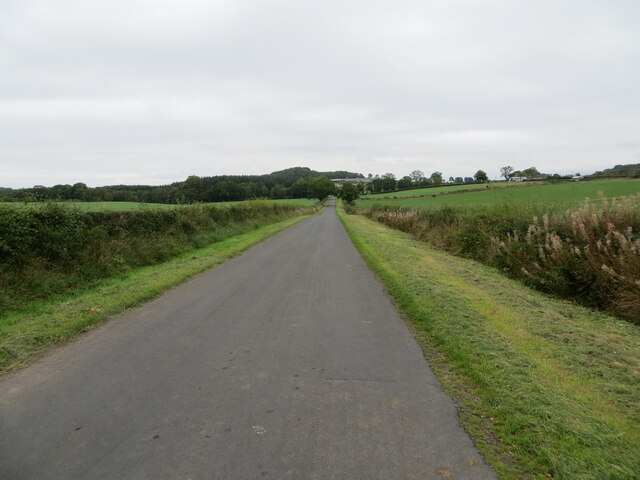
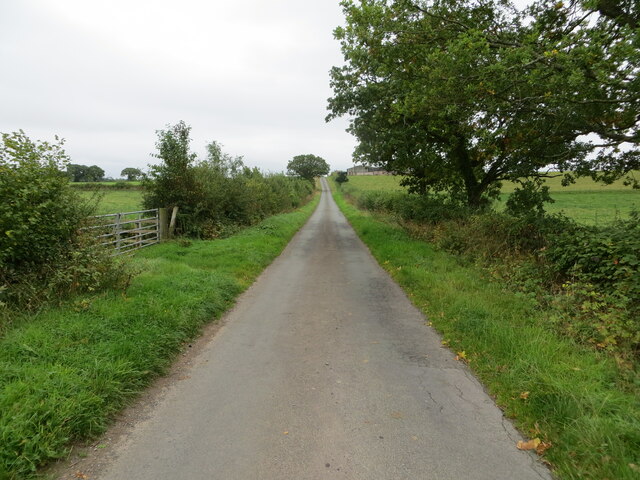
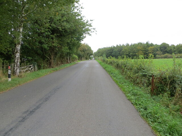
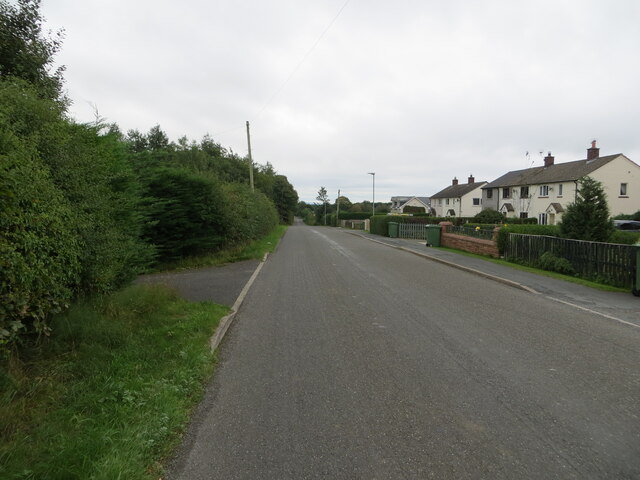
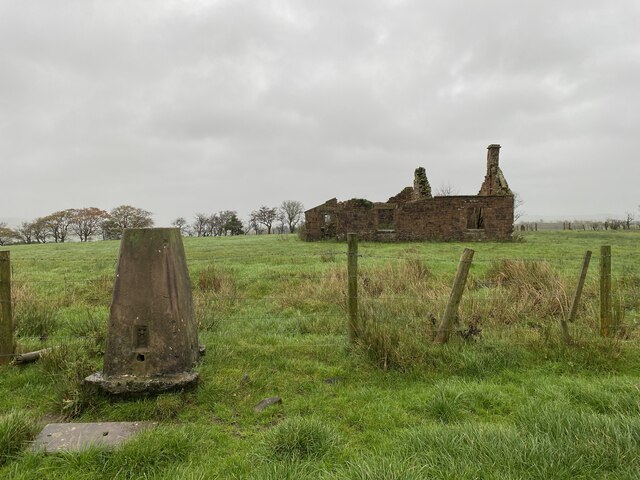
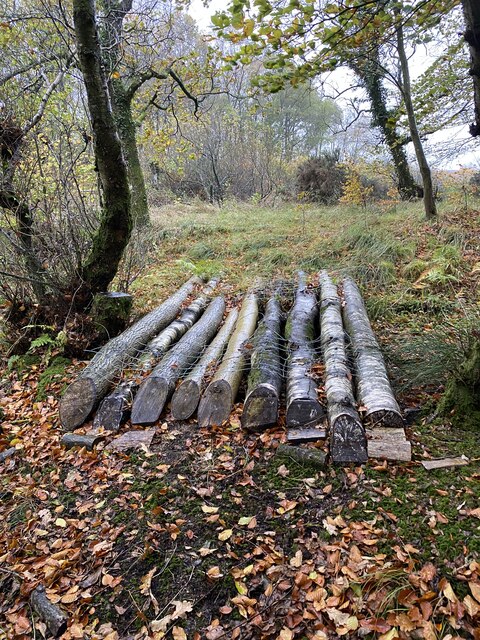
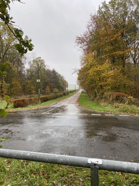
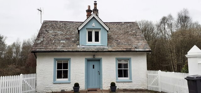
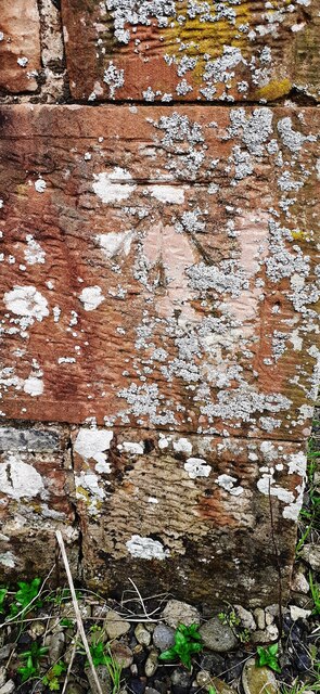
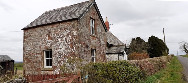
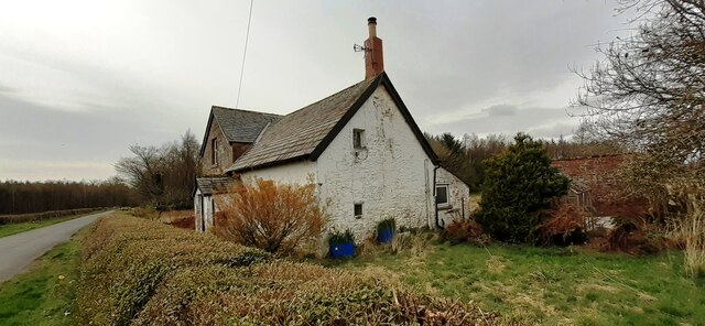
Blacklonning Wood Images
Images are sourced within 2km of 55.055643/-2.9287138 or Grid Reference NY4073. Thanks to Geograph Open Source API. All images are credited.


Blacklonning Wood is located at Grid Ref: NY4073 (Lat: 55.055643, Lng: -2.9287138)
Administrative County: Cumbria
District: Carlisle
Police Authority: Cumbria
What 3 Words
///ritual.anchorman.limiting. Near Longtown, Cumbria
Nearby Locations
Related Wikis
Liddel Strength
Liddel Strength is an ancient monument near Carwinley, Cumbria, in northwest England. It consists of the earthwork remains of an Anglo-Norman border fortification...

Carwinley
Carwinley is a hamlet in Cumbria, England, located on the border with Scotland. It was first mentioned in 1202 as Karwindelhov.The ancient monument of...

Riddings Junction railway station
Riddings Junction railway station was a railway station in Cumbria, England, from 1862 to 1967 on the Border Union Railway. == History == The station opened...

Liddel Water
Liddel Water is a river running through southern Scotland and northern England, for much of its course forming the border between the two countries, and...

Scotch Dyke railway station
Scotch Dyke railway station was a railway station in Cumberland close to the Scots' Dike, the traditional border with Scotland. == History == The station...
Canonbie
Canonbie (Scottish Gaelic: Canonbaidh) is a small village in Dumfriesshire within the local authority area of Dumfries and Galloway in Scotland, 6 miles...
Canonbie Coalfield
The Canonbie Coalfield is a small and largely concealed coalfield at Canonbie in the south of Scotland. A comprehensive survey by Peach and Horne was published...

Coop House, Netherby
Coop House, near Netherby in Cumbria, England, is a small building by the River Esk, erected about 1772 as part of a salmon fishery project, and restored...
Nearby Amenities
Located within 500m of 55.055643,-2.9287138Have you been to Blacklonning Wood?
Leave your review of Blacklonning Wood below (or comments, questions and feedback).