Blackroots Wood
Wood, Forest in Cumberland Carlisle
England
Blackroots Wood
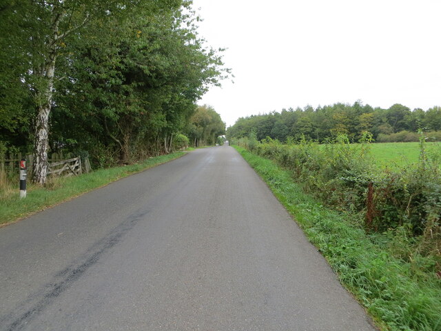
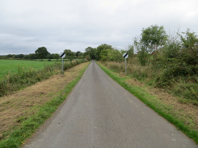
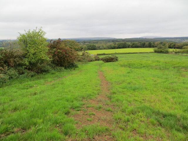
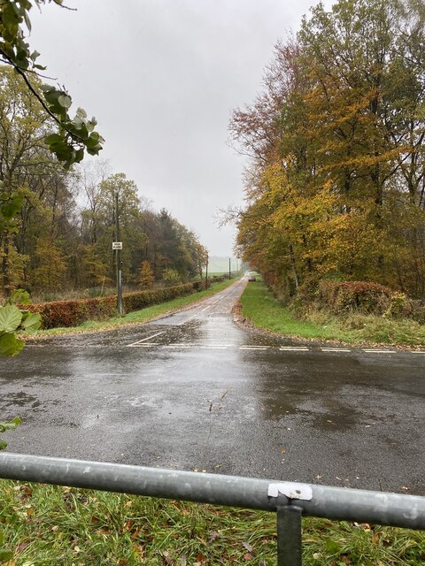
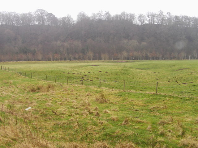
Blackroots Wood is a prominent forest located in Cumberland, a county in the northwestern part of England. Stretching across a vast area of approximately 500 acres, this woodland is a significant natural habitat and a popular destination for locals and tourists alike.
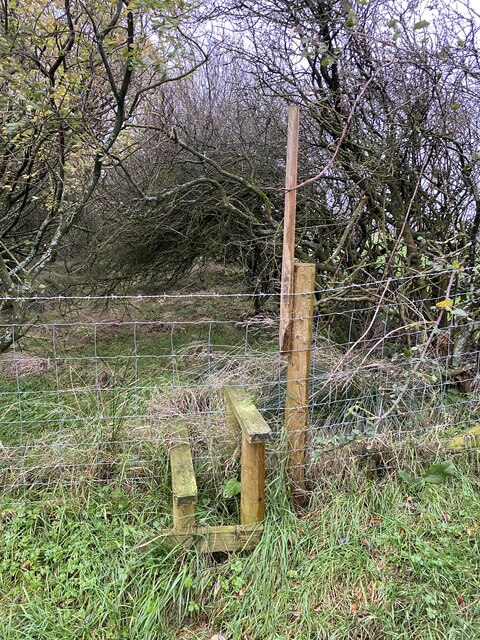
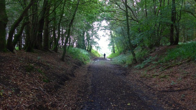
The forest is characterized by its dense canopy of predominantly deciduous trees, including oak, beech, and ash, which provide a striking visual appeal throughout the year. These towering trees create a serene and tranquil atmosphere, making it an ideal spot for nature enthusiasts, hikers, and birdwatchers.
Blackroots Wood is home to a myriad of wildlife species, including various birds, mammals, and insects. It serves as a breeding ground for a diverse range of songbirds, such as thrushes, finches, and warblers, adding a melodious symphony to the surroundings. Additionally, the wood provides a habitat for mammals like deer, foxes, and badgers, which can occasionally be spotted by lucky visitors.
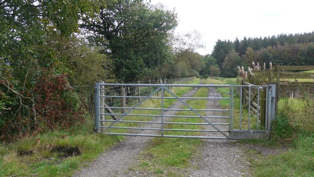
The forest is crisscrossed with a network of well-maintained footpaths, allowing visitors to explore its enchanting beauty. These trails offer breathtaking vistas, picturesque streams, and occasional clearings that provide perfect picnic spots. The wood also houses a small visitor center, providing information about the forest's history, flora, and fauna.
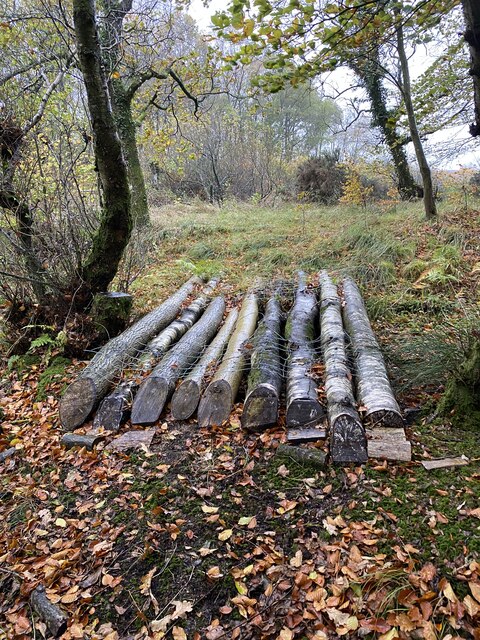
Blackroots Wood is not only a natural haven but also plays a crucial role in conservation efforts. It is managed by local authorities who ensure sustainable forestry practices, including selective tree cutting, to maintain a healthy ecosystem.
Overall, Blackroots Wood in Cumberland is a captivating and ecologically important forest, offering a peaceful retreat for nature lovers and a sanctuary for countless species of plants and animals.
If you have any feedback on the listing, please let us know in the comments section below.
Blackroots Wood Images
Images are sourced within 2km of 55.064305/-2.9287735 or Grid Reference NY4074. Thanks to Geograph Open Source API. All images are credited.


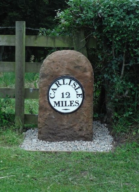


Blackroots Wood is located at Grid Ref: NY4074 (Lat: 55.064305, Lng: -2.9287735)
Administrative County: Cumbria
District: Carlisle
Police Authority: Cumbria
What 3 Words
///meals.extensive.accent. Near Longtown, Cumbria
Nearby Locations
Related Wikis

Riddings Junction railway station
Riddings Junction railway station was a railway station in Cumbria, England, from 1862 to 1967 on the Border Union Railway. == History == The station opened...
Liddel Strength
Liddel Strength is an ancient monument near Carwinley, Cumbria, in northwest England. It consists of the earthwork remains of an Anglo-Norman border fortification...

Carwinley
Carwinley is a hamlet in Cumbria, England, located on the border with Scotland. It was first mentioned in 1202 as Karwindelhov.The ancient monument of...

Liddel Water
Liddel Water is a river running through southern Scotland and northern England, for much of its course forming the border between the two countries, and...
Canonbie
Canonbie (Scottish Gaelic: Canonbaidh) is a small village in Dumfriesshire within the local authority area of Dumfries and Galloway in Scotland, 6 miles...
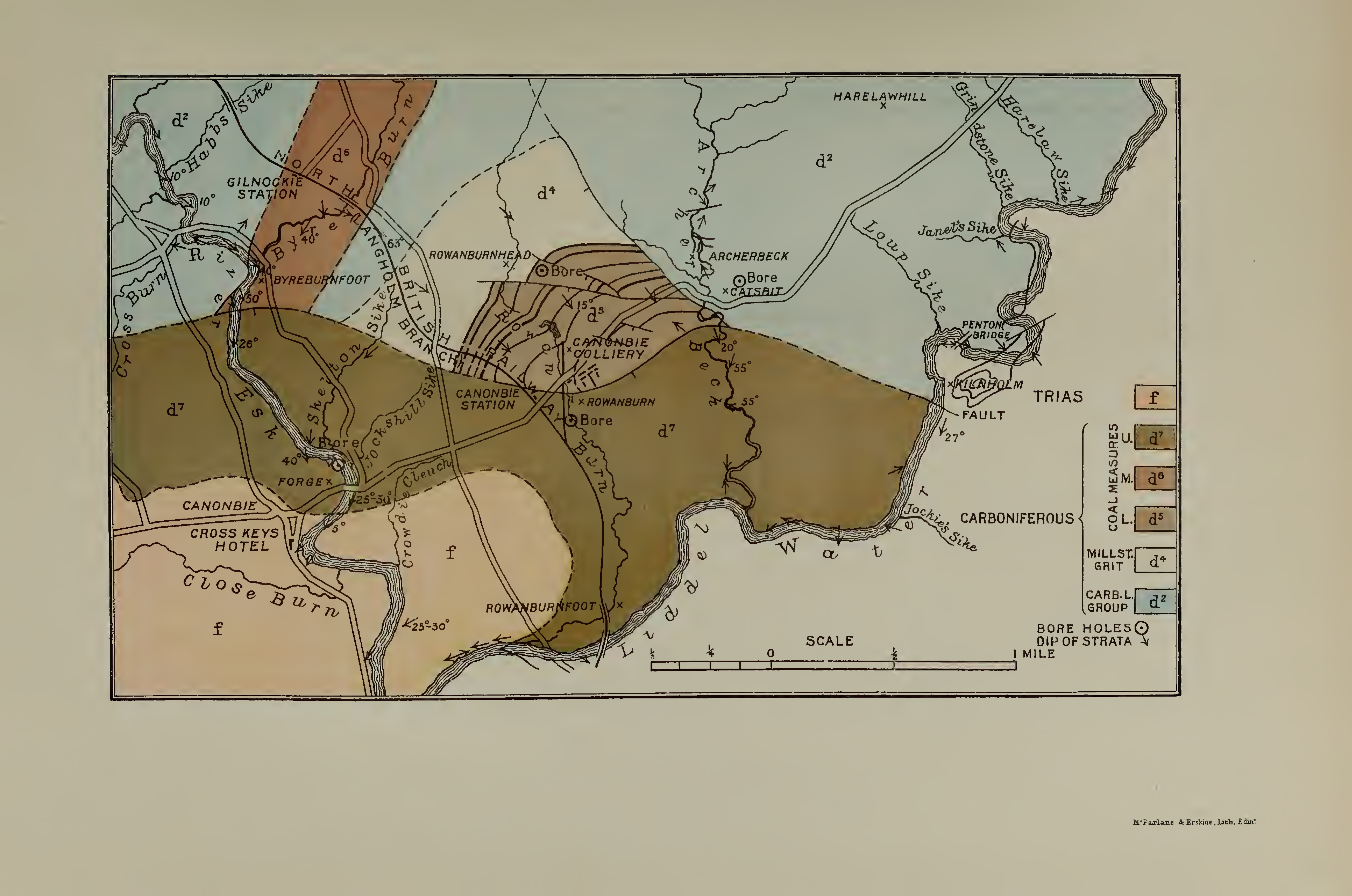
Canonbie Coalfield
The Canonbie Coalfield is a small and largely concealed coalfield at Canonbie in the south of Scotland. A comprehensive survey by Peach and Horne was published...
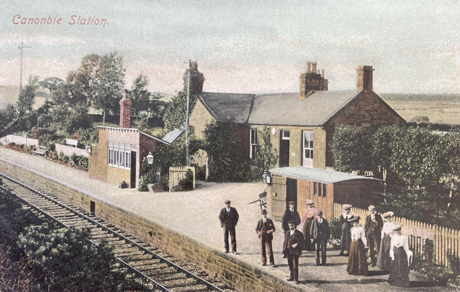
Canonbie railway station
Canonbie railway station served the village of Canonbie, Dumfries and Galloway, Scotland from 1862 to 1967 on the Border Union Railway. == History == The...
Rowanburn
Rowanburn is a hamlet in Eskdale, Dumfries and Galloway, Scotland. Located near Canonbie, it sits around 5 miles south-east of Langholm and about a mile...
Nearby Amenities
Located within 500m of 55.064305,-2.9287735Have you been to Blackroots Wood?
Leave your review of Blackroots Wood below (or comments, questions and feedback).