Birnieshill Wood
Wood, Forest in Cumberland Carlisle
England
Birnieshill Wood
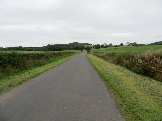
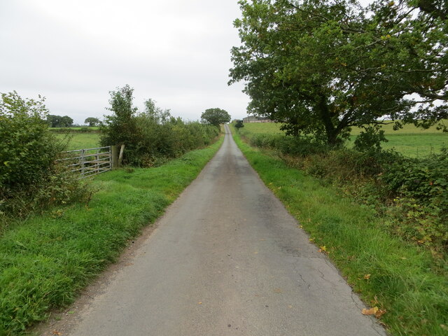
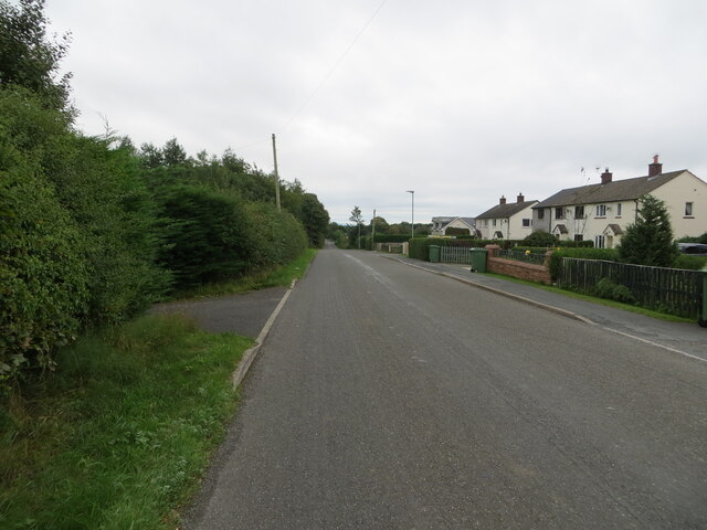
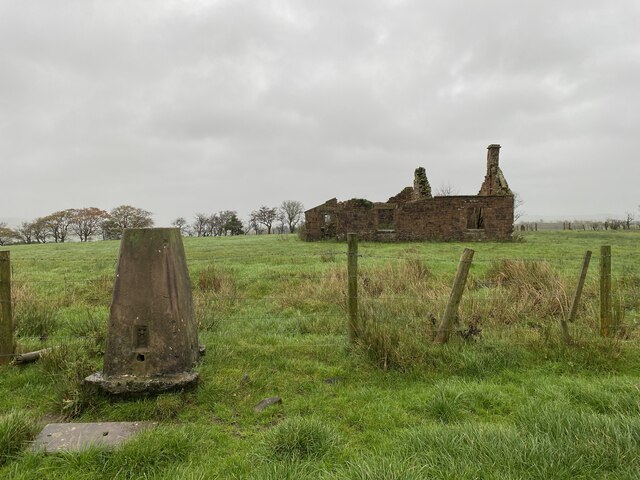
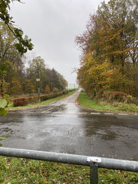
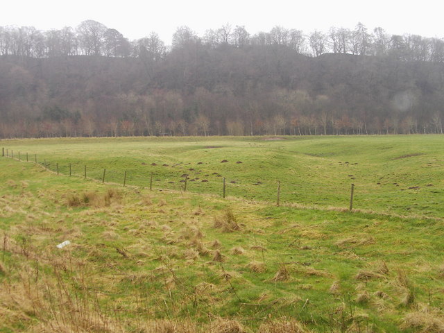
Birnieshill Wood is a picturesque forest located in the county of Cumberland, England. This ancient woodland covers an area of approximately 100 acres and offers a tranquil retreat for nature enthusiasts and hikers alike. The wood is situated on the outskirts of a small village, surrounded by rolling hills and meandering streams.
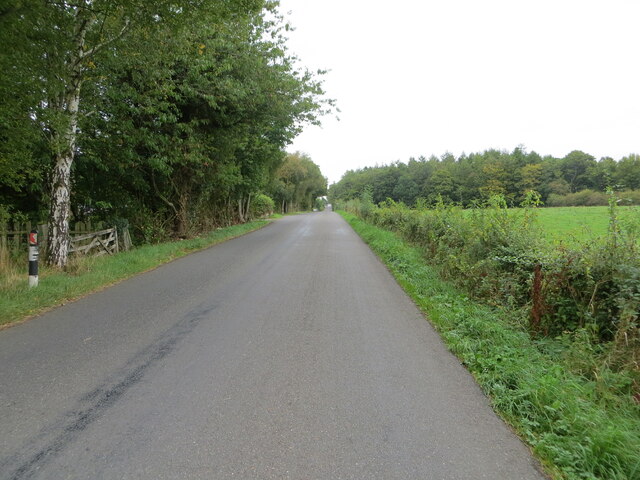
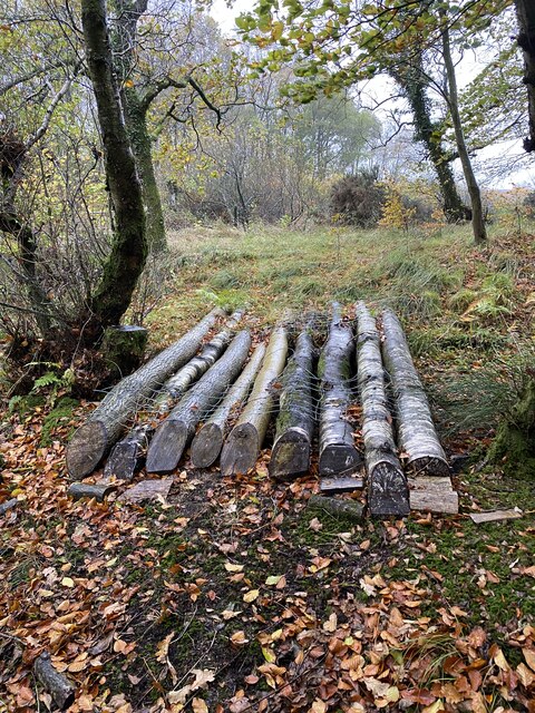
As one ventures into Birnieshill Wood, they are greeted by a diverse range of tree species, including oak, beech, and ash. The woodland floor is blanketed with a rich carpet of bluebells and wildflowers during the spring months, creating a breathtaking sight for visitors. The forest is also home to a variety of wildlife, such as deer, foxes, and an array of bird species, making it a haven for birdwatchers and wildlife enthusiasts.
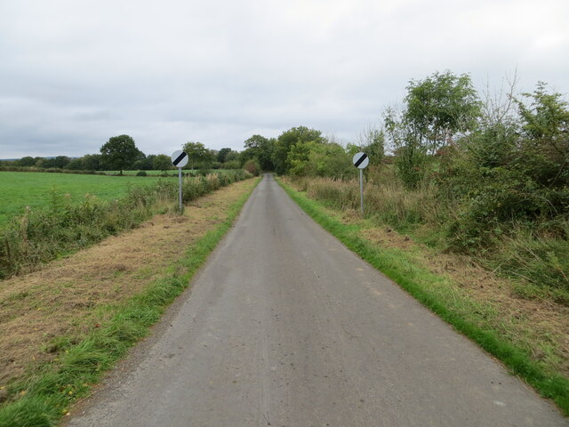
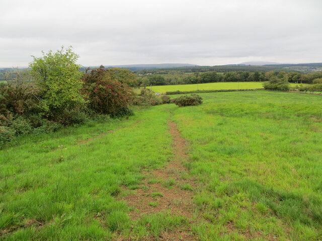
Several well-maintained walking trails wind their way through Birnieshill Wood, offering visitors the opportunity to explore its natural beauty at their own pace. These trails lead to secluded picnic spots and viewpoints that offer stunning vistas of the surrounding countryside.
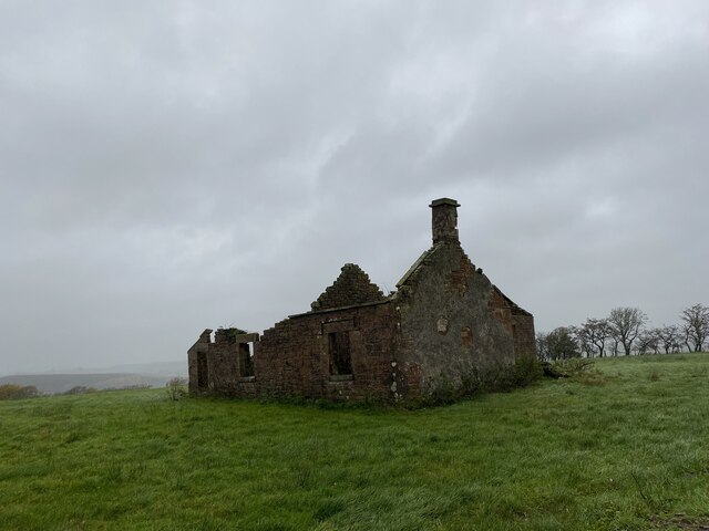
Birnieshill Wood has a rich history, with evidence of human habitation dating back thousands of years. Archaeological finds, including ancient burial mounds and remnants of Iron Age settlements, highlight the significance of this woodland in the region's past.
In recent years, efforts have been made to protect and preserve Birnieshill Wood, ensuring its ecological integrity and maintaining its status as a cherished natural resource for the local community and visitors. The wood serves as a reminder of the region's natural heritage and provides a serene escape from the hustle and bustle of modern life.
If you have any feedback on the listing, please let us know in the comments section below.
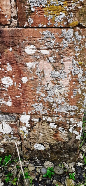
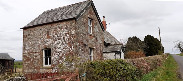
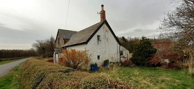
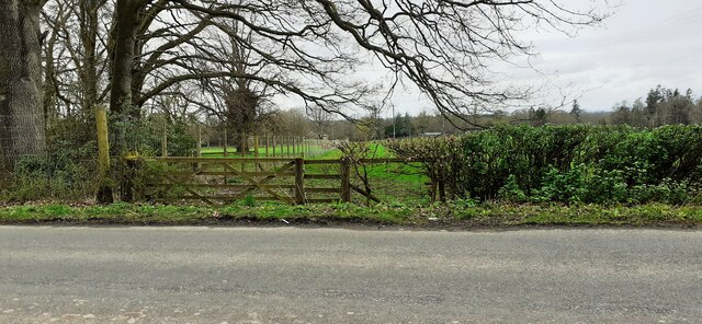
Birnieshill Wood Images
Images are sourced within 2km of 55.051883/-2.9373612 or Grid Reference NY4073. Thanks to Geograph Open Source API. All images are credited.


Birnieshill Wood is located at Grid Ref: NY4073 (Lat: 55.051883, Lng: -2.9373612)
Administrative County: Cumbria
District: Carlisle
Police Authority: Cumbria
What 3 Words
///imprints.fruit.mavericks. Near Longtown, Cumbria
Nearby Locations
Related Wikis
Liddel Strength
Liddel Strength is an ancient monument near Carwinley, Cumbria, in northwest England. It consists of the earthwork remains of an Anglo-Norman border fortification...

Carwinley
Carwinley is a hamlet in Cumbria, England, located on the border with Scotland. It was first mentioned in 1202 as Karwindelhov.The ancient monument of...

Liddel Water
Liddel Water is a river running through southern Scotland and northern England, for much of its course forming the border between the two countries, and...

Riddings Junction railway station
Riddings Junction railway station was a railway station in Cumbria, England, from 1862 to 1967 on the Border Union Railway. == History == The station opened...

Scotch Dyke railway station
Scotch Dyke railway station was a railway station in Cumberland close to the Scots' Dike, the traditional border with Scotland. == History == The station...

Coop House, Netherby
Coop House, near Netherby in Cumbria, England, is a small building by the River Esk, erected about 1772 as part of a salmon fishery project, and restored...
Canonbie
Canonbie (Scottish Gaelic: Canonbaidh) is a small village in Dumfriesshire within the local authority area of Dumfries and Galloway in Scotland, 6 miles...
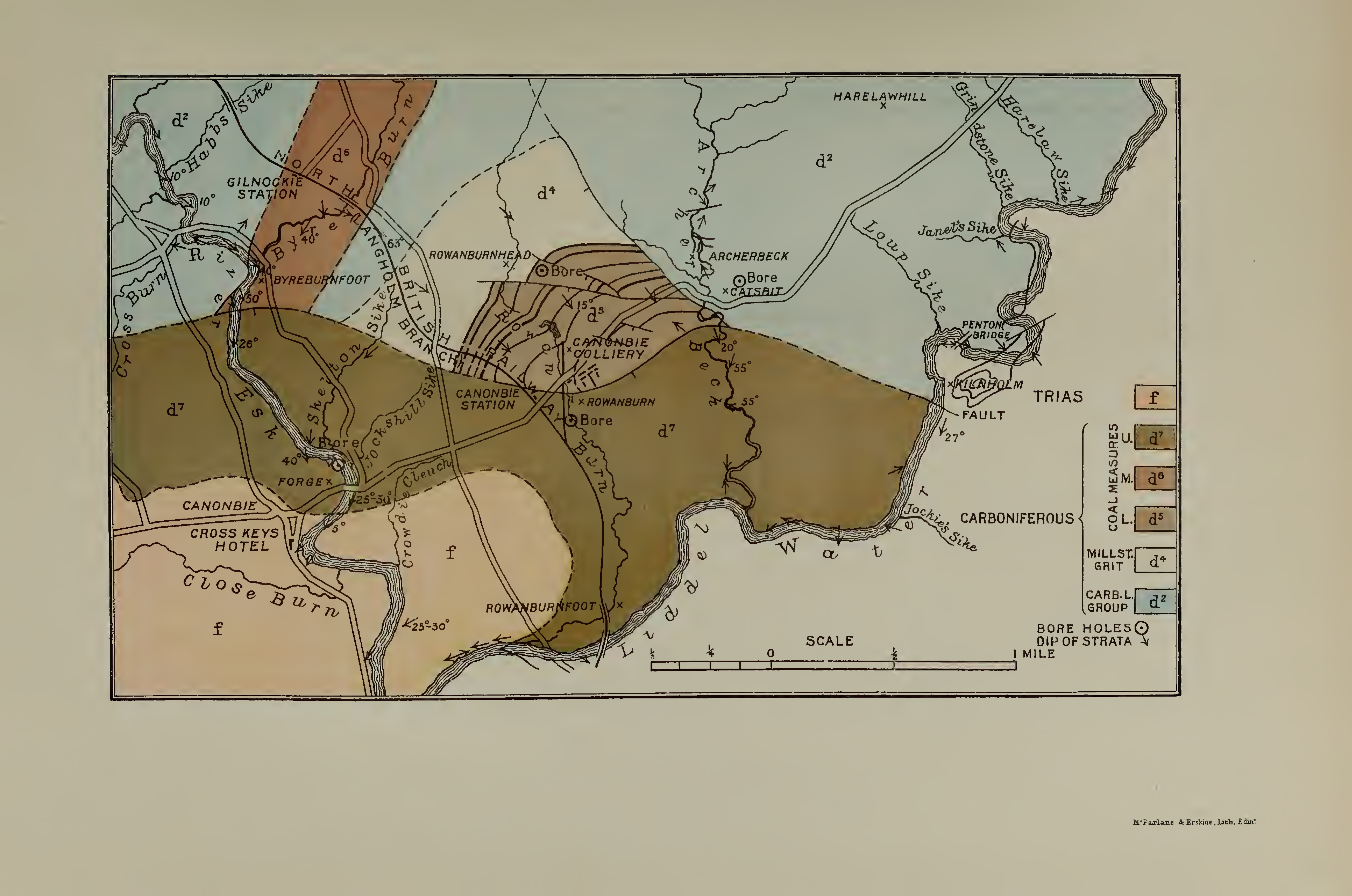
Canonbie Coalfield
The Canonbie Coalfield is a small and largely concealed coalfield at Canonbie in the south of Scotland. A comprehensive survey by Peach and Horne was published...
Nearby Amenities
Located within 500m of 55.051883,-2.9373612Have you been to Birnieshill Wood?
Leave your review of Birnieshill Wood below (or comments, questions and feedback).