Beech Copse
Wood, Forest in Somerset South Somerset
England
Beech Copse
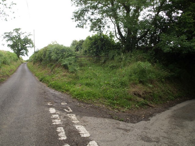
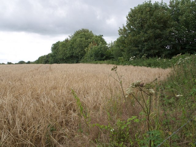
Beech Copse is a picturesque woodland area located in Somerset, England. Covering an area of approximately 50 acres, it is known for its dense population of beech trees, which give the copse its name. The woodland is situated on a gently sloping hill, providing visitors with stunning views of the surrounding countryside.
Beech Copse is rich in biodiversity, boasting a wide variety of plants and wildlife. The forest floor is covered with a thick carpet of bluebells during spring, creating a vibrant and colorful display. Other plant species found in the copse include wood sorrel, wild garlic, and primroses. The canopy of beech trees provides shade and shelter for numerous bird species, such as woodpeckers, thrushes, and owls. It is also home to a diverse range of insects and small mammals, including deer, foxes, and badgers.
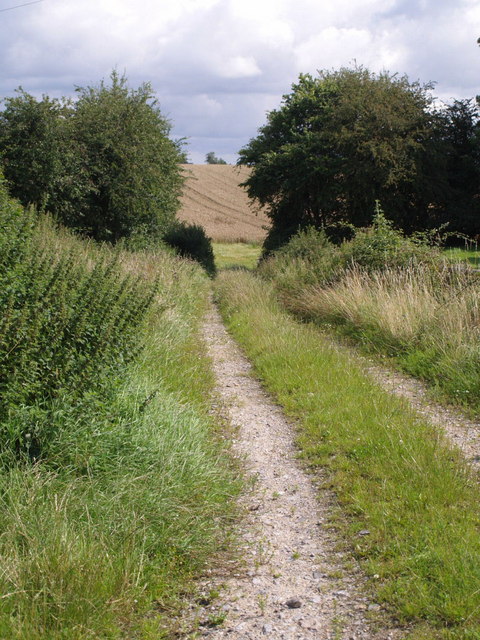
The copse offers several walking trails, allowing visitors to explore its natural beauty. These paths wind through the woodland, leading to hidden clearings and peaceful spots for picnics. The tranquil atmosphere of Beech Copse makes it a popular destination for nature lovers and photographers seeking to capture the essence of the English countryside.
Access to Beech Copse is straightforward, with a well-maintained car park located nearby. Visitors are advised to follow the designated trails, respect the wildlife, and take care not to damage the delicate ecosystem. Overall, Beech Copse provides a serene escape for those seeking solace in nature's embrace.
If you have any feedback on the listing, please let us know in the comments section below.
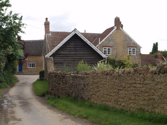
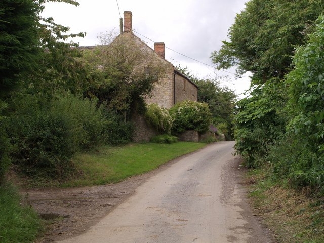
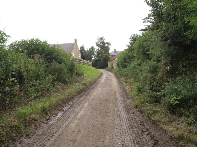
Beech Copse Images
Images are sourced within 2km of 50.909185/-2.8474907 or Grid Reference ST4012. Thanks to Geograph Open Source API. All images are credited.
Beech Copse is located at Grid Ref: ST4012 (Lat: 50.909185, Lng: -2.8474907)
Administrative County: Somerset
District: South Somerset
Police Authority: Avon and Somerset
What 3 Words
///paintings.acoustics.gear. Near Merriott, Somerset
Nearby Locations
Related Wikis

Dinnington, Somerset
Dinnington is a village and civil parish in the English county of Somerset, situated 4 miles (6.4 km) north of Crewkerne in the South Somerset district...

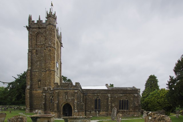
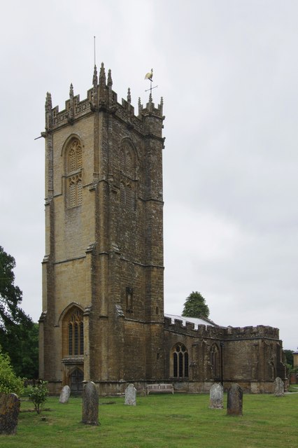
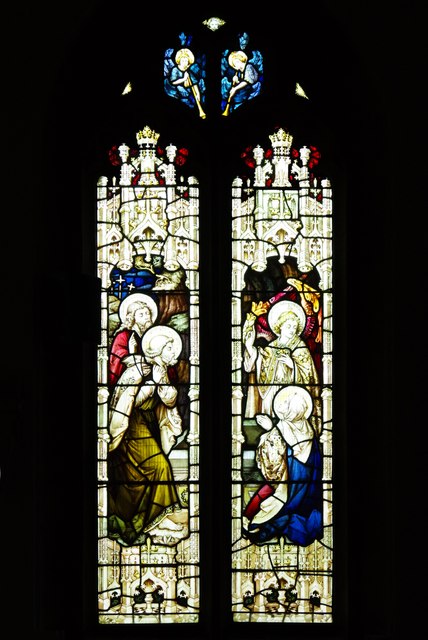
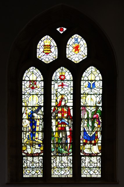
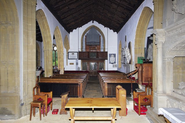
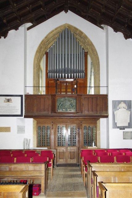
Church of St Nicholas, Dinnington
The Anglican Church of St Nicholas in Dinnington, Somerset, England was built in the 15th century. It is a Grade II* listed building. == History == A church...
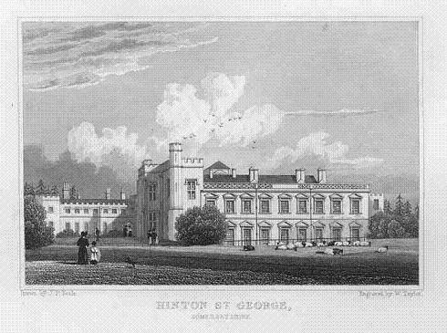
Hinton House
Hinton House is a large country house near Hinton St George in Somerset, England. == History == The house started life as a medieval hall house and was...

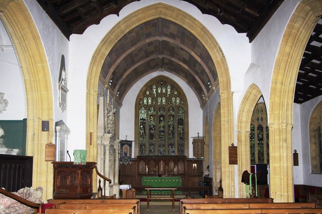
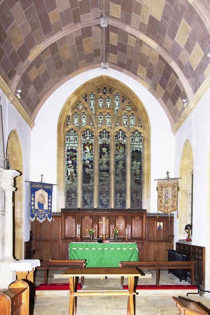
St George's Church, Hinton St George
The Church of St George in Hinton St George, Somerset, England includes 13th-century work by masons of Wells Cathedral, and has been designated as a Grade...

Seavington St. Mary SSSI, Somerset
Seavington St. Mary (grid reference ST400144) is a 0.3 hectare geological Site of Special Scientific Interest near the village of Seavington St Mary in...
Hinton St George
Hinton St George is a village and parish in Somerset, England, situated 3 miles (4.8 km) outside Crewkerne, 10 miles (16.1 km) south west of Yeovil in...

Chillington, Somerset
Chillington is a village and parish in Somerset, England, situated 3 miles (5 km) west of Crewkerne and 5 miles (8 km) east of Chard in the South Somerset...
Seavington St Mary
Seavington St Mary is a village and civil parish in Somerset, England. It is situated next to the village of Seavington St Michael, about 3 miles (4.8...
Nearby Amenities
Located within 500m of 50.909185,-2.8474907Have you been to Beech Copse?
Leave your review of Beech Copse below (or comments, questions and feedback).