Butt's Plantation
Wood, Forest in Somerset South Somerset
England
Butt's Plantation
Butt's Plantation is a historic woodland located in Somerset, England. Covering an area of approximately 500 acres, it is renowned for its diverse flora and fauna, making it a popular destination for nature enthusiasts and hikers. The plantation is nestled within the larger Somerset Levels, an area known for its wetland habitats and rich biodiversity.
The woodland at Butt's Plantation is dominated by a mix of broadleaf trees, including oak, beech, and ash, creating a stunning canopy that changes dramatically with the seasons. The forest floor is covered in a lush carpet of ferns, mosses, and wildflowers, offering a picturesque setting for leisurely walks through the woods.
Several walking trails and footpaths crisscross the plantation, providing visitors with the opportunity to explore its natural beauty and discover its hidden gems. Along these trails, one may encounter various wildlife species, such as deer, foxes, and a plethora of bird species, including woodpeckers and owls.
Butt's Plantation has a rich historical background, dating back several centuries. It was once part of a larger estate, belonging to the Butt family, hence its name. The plantation's wood has been harvested sustainably over the years, providing timber for various purposes, including construction and fuel.
In recent years, the plantation has become a popular spot for outdoor activities like picnicking, nature photography, and even educational programs organized by local conservation groups. Its tranquil ambiance and natural beauty make it an ideal escape from the hustle and bustle of modern life, providing a haven for both humans and wildlife alike.
If you have any feedback on the listing, please let us know in the comments section below.
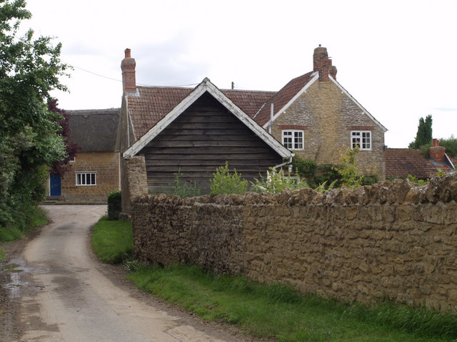
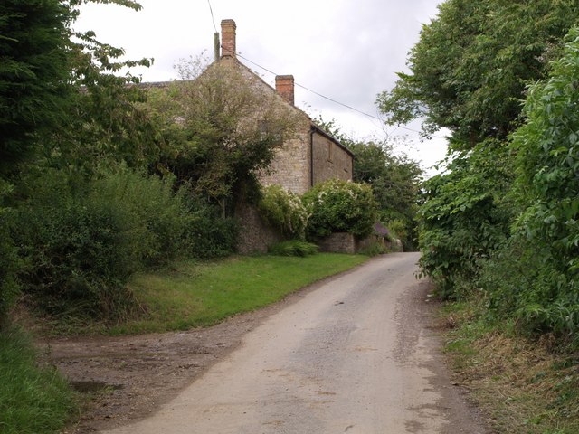
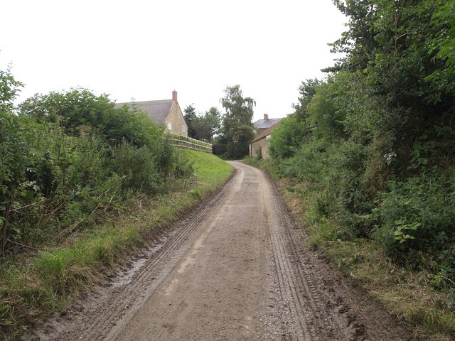
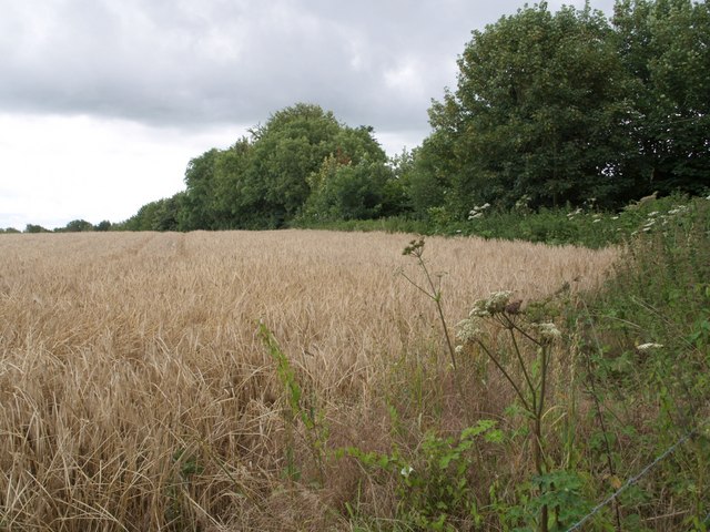
Butt's Plantation Images
Images are sourced within 2km of 50.909254/-2.8541058 or Grid Reference ST4012. Thanks to Geograph Open Source API. All images are credited.


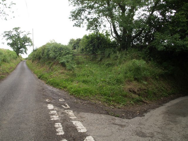
Butt's Plantation is located at Grid Ref: ST4012 (Lat: 50.909254, Lng: -2.8541058)
Administrative County: Somerset
District: South Somerset
Police Authority: Avon and Somerset
What 3 Words
///weary.captures.windows. Near Ilminster, Somerset
Nearby Locations
Related Wikis

Church of St Nicholas, Dinnington
The Anglican Church of St Nicholas in Dinnington, Somerset, England was built in the 15th century. It is a Grade II* listed building. == History == A church...

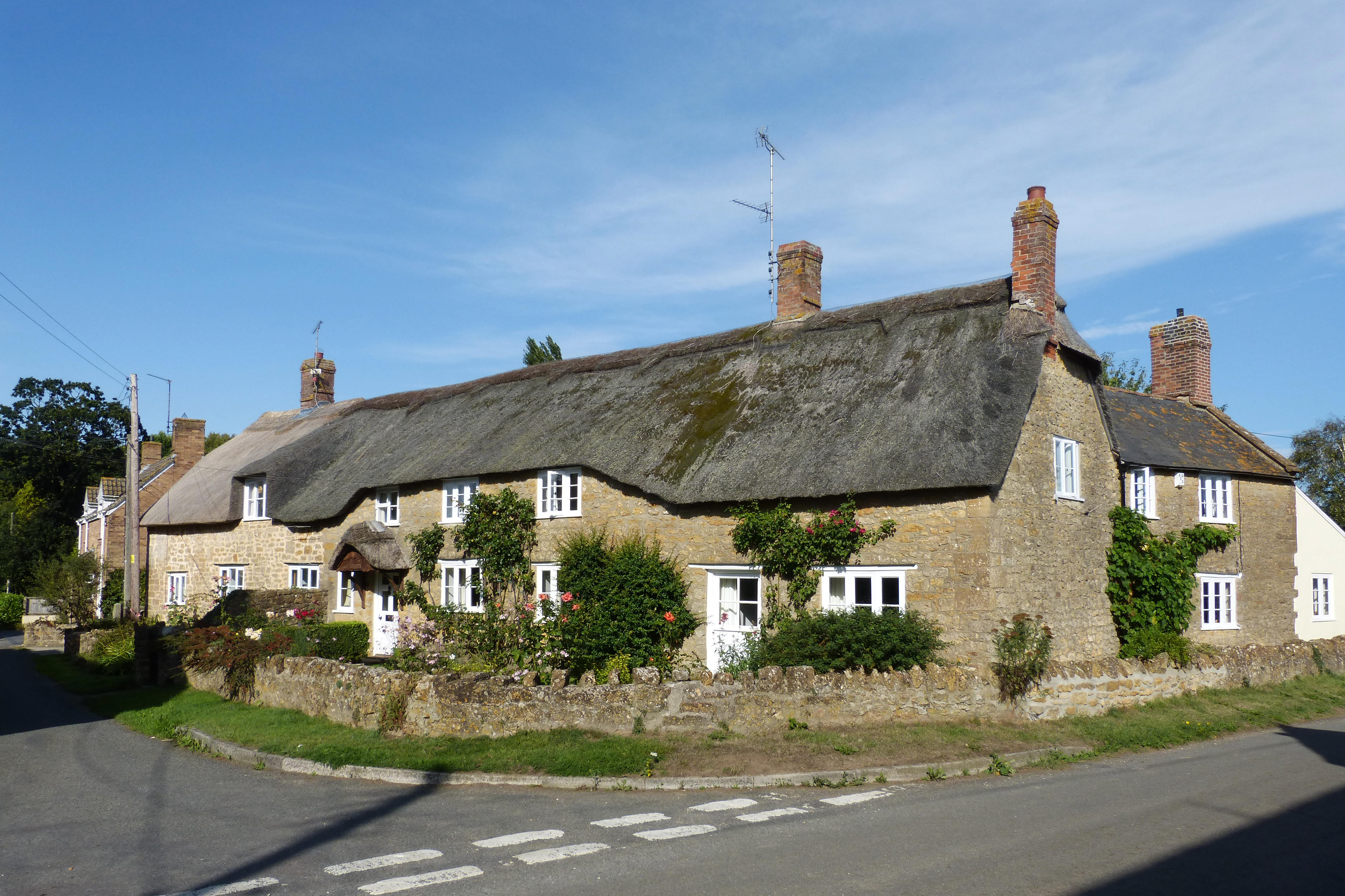
Dinnington, Somerset
Dinnington is a village and civil parish in the English county of Somerset, situated 4 miles (6.4 km) north of Crewkerne in the South Somerset district...
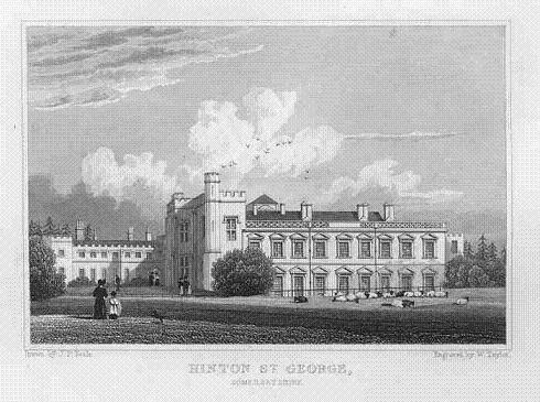
Hinton House
Hinton House is a large country house near Hinton St George in Somerset, England. == History == The house started life as a medieval hall house and was...

Chillington, Somerset
Chillington is a village and parish in Somerset, England, situated 3 miles (5 km) west of Crewkerne and 5 miles (8 km) east of Chard in the South Somerset...

Seavington St. Mary SSSI, Somerset
Seavington St. Mary (grid reference ST400144) is a 0.3 hectare geological Site of Special Scientific Interest near the village of Seavington St Mary in...

St George's Church, Hinton St George
The Church of St George in Hinton St George, Somerset, England includes 13th-century work by masons of Wells Cathedral, and has been designated as a Grade...
Seavington St Mary
Seavington St Mary is a village and civil parish in Somerset, England. It is situated next to the village of Seavington St Michael, about 3 miles (4.8...

Church of St Mary, Seavington St Mary
The Church of St Mary in Seavington St Mary, Somerset, England, dates from the 15th century and is recorded in the National Heritage List for England as...
Nearby Amenities
Located within 500m of 50.909254,-2.8541058Have you been to Butt's Plantation?
Leave your review of Butt's Plantation below (or comments, questions and feedback).