Coed y Garth

Settlement in Cardiganshire

Wales

Coed y Garth

Dyfi Furnace
Dyfi Furnace Credit: John H Darch

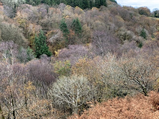
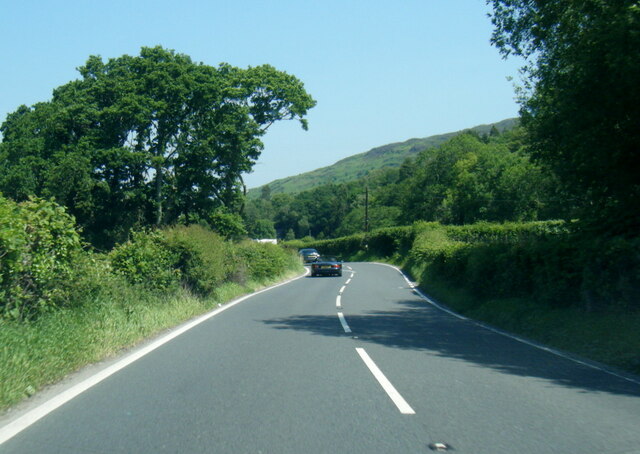
Coed y Garth is a small village located in the county of Cardiganshire, Wales. Nestled amidst the scenic beauty of the Cambrian Mountains, it offers a tranquil and picturesque setting for residents and visitors alike. The village is situated in the heart of the countryside, surrounded by lush green fields, rolling hills, and dense woodlands.

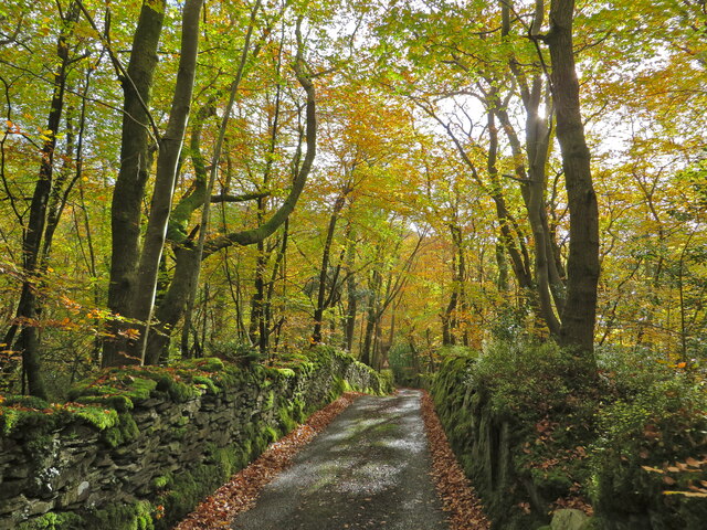
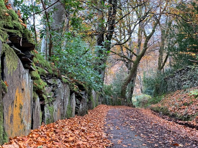
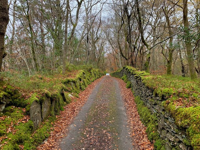
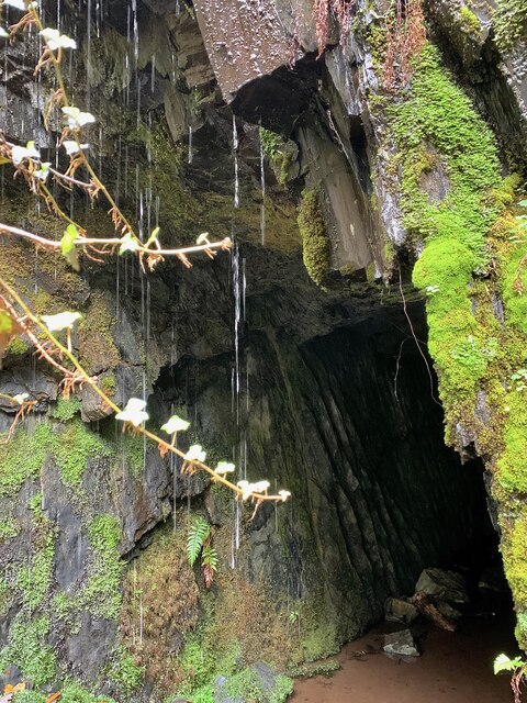
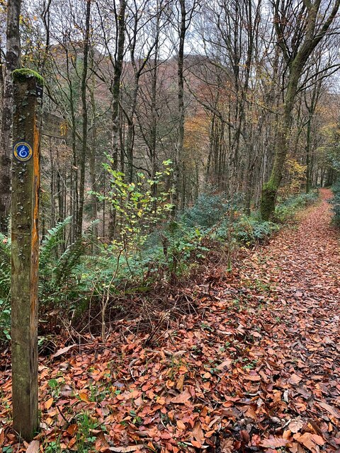
Coed y Garth is known for its natural charm and abundance of outdoor recreational opportunities. The village is home to several walking and hiking trails, making it a popular destination for nature enthusiasts and those seeking a peaceful retreat. The nearby mountains provide breathtaking views and a chance to explore the rugged Welsh landscape.

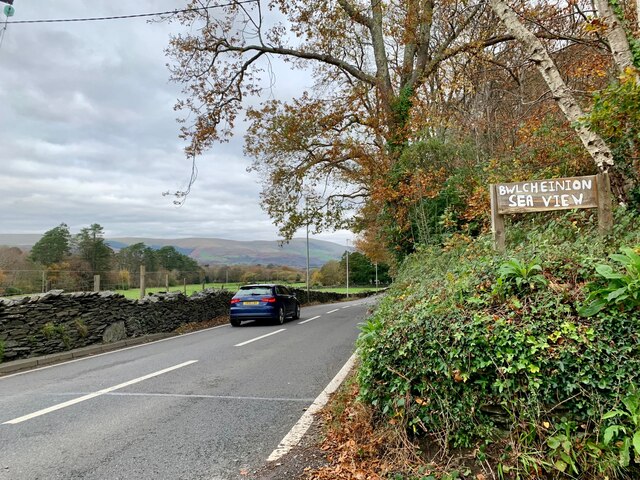
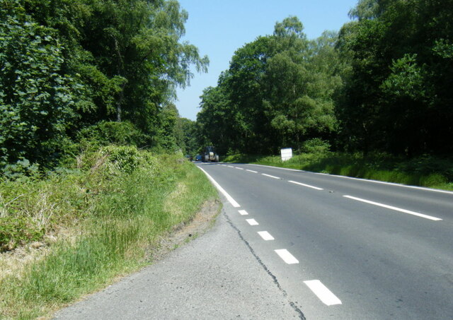
Despite its rural location, Coed y Garth is well-connected to nearby towns and cities. The village is conveniently located near major road networks, allowing for easy access to amenities and services. The town of Aberystwyth is just a short drive away, offering a range of shopping, dining, and entertainment options.

Coed y Garth is a close-knit community with a strong sense of community spirit. The village has a small primary school, a community center, and a local pub, which serves as a social hub for residents. The local residents often take part in community events and activities, fostering a friendly and welcoming atmosphere.

In summary, Coed y Garth is a charming village nestled in the scenic Cardiganshire countryside. With its natural beauty, outdoor recreational opportunities, and strong sense of community, it offers a peaceful and idyllic place to live or visit.

If you have any feedback on the listing, please let us know in the comments section below.
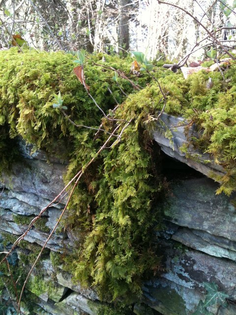
Coed y Garth Images

Images are sourced within 2km of 52.527831/-3.9472193 or Grid Reference SN6894. Thanks to Geograph Open Source API. All images are credited.

Dyfi Furnace
Dyfi Furnace
Lôn uwchben Ffwrnais The lane above Furnace through the woods.
Lôn uwchben Ffwrnais
The lane above Furnace through the woods.
Bwlcheinion Sea View Arwydd ar A487 yn Ffwrnais / Sign on the A487 in Furnace.
Bwlcheinion Sea View
Arwydd ar A487 yn Ffwrnais / Sign on the A487 in Furnace.
Wal y lôn, Ffwrnais / Lane wall, Furnace
Lôn uwchben Ffwrnais / Lane above Furnace In the last of the autumn colours.
Lôn uwchben Ffwrnais / Lane above Furnace
In the last of the autumn colours.
Mine adit, in the woods near Furnace In the woods above the rushing Afon Einion are plenty of remnants of the area's industrial age. In the C19, silver, lead, copper and zinc were all mined in the valley.
Mine adit, in the woods near Furnace
In the woods above the rushing Afon Einion are plenty of remnants of the area's industrial age. In the C19, silver, lead, copper and zinc were all mined in the valley.
Yr olaf o liwiau'r hydref / Last of the autumn colours Along Cwm Einion, above Ffwrnais/Furnace village.
Yr olaf o liwiau'r hydref / Last of the autumn colours
Along Cwm Einion, above Ffwrnais/Furnace village.
Wales Coast(less) Path, Cwm Einion Because there's no bridging point of the Dyfi lower than Machynlleth, the coast path has to veer a long way inland. It's a glorious route, all the same, but don't bring a bucket and spade.
Wales Coast(less) Path, Cwm Einion
Because there's no bridging point of the Dyfi lower than Machynlleth, the coast path has to veer a long way inland. It's a glorious route, all the same, but don't bring a bucket and spade.
Ordnance Survey Cut Mark This OS cut mark can be found on the wall west side of the road. It marks a point 41.319m above mean sea level.
Ordnance Survey Cut Mark
This OS cut mark can be found on the wall west side of the road. It marks a point 41.319m above mean sea level.
Milestone - Aberystwyth 10 Badly damaged milestone east side of road.
Milestone - Aberystwyth 10
Badly damaged milestone east side of road.
Ordnance Survey Cut Mark This OS cut mark can be found on the wall post NW side of the road. It marks a point 23.284m above mean sea level.
Ordnance Survey Cut Mark
This OS cut mark can be found on the wall post NW side of the road. It marks a point 23.284m above mean sea level.
A487 in The Park woodland
A487 near Coed y Fedw
A487 at Furnace village boundary
Rhaeadr yr Afon Einion, Ffwrnais At the top of the Furnace waterfall, looking down it and the Afon Einion towards the A487 bridge. The furnace building itself is behind the rock top left. The old leat running to the waterwheel there can be seen, with a sluice gate in front of it.
Rhaeadr yr Afon Einion, Ffwrnais
At the top of the Furnace waterfall, looking down it and the Afon Einion towards the A487 bridge. The furnace building itself is behind the rock top left. The old leat running to the waterwheel there can be seen, with a sluice gate in front of it.
Roadworks on the A487 towards Furnace
Close up of mosses and lichen, Ynys-Hir
View down the southern slopes of Cwm Einion Looking over the forestry track (not currently marked on the 1:50000 map) into the valley. The gate in the foreground is the start of the normal route up Foel Goch.
View down the southern slopes of Cwm Einion
Looking over the forestry track (not currently marked on the 1:50000 map) into the valley. The gate in the foreground is the start of the normal route up Foel Goch.
Show me another place!

Coed y Garth is located at Grid Ref: SN6894 (Lat: 52.527831, Lng: -3.9472193)

Unitary Authority: Ceredigion

Police Authority: Dyfed Powys

What 3 Words

///reclining.canny.everyone. Near Borth, Ceredigion

Related Wikis

Coed y Garth, Ceredigion

Coed y Garth is a small village in the community of Ysgubor-y-coed, Ceredigion, Wales, which is 79.7 miles (128.2 km) from Cardiff and 176.9 miles (284...
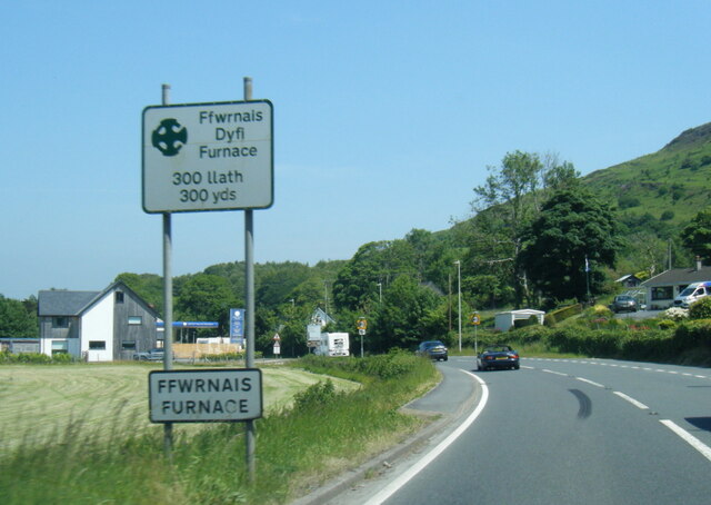
Furnace, Ceredigion

Furnace (Welsh: Ffwrnais) is a hamlet in Ceredigion, Wales on the A487 trunk road from Machynlleth to Aberystwyth, near Eglwysfach. It is the location...
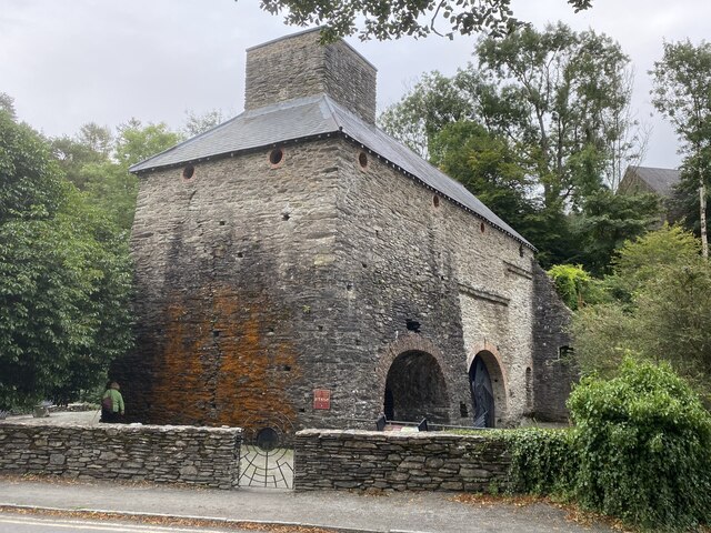
Dyfi Furnace

Dyfi Furnace is a restored mid 18th century charcoal fired blast furnace used for smelting iron ore. It has given its name to the adjoining hamlet of Furnace...
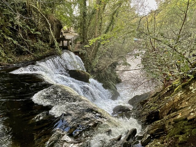
Coed Cwm Einion

Coed Cwm Einion is a woodland to the east of the village of Furnace, in Ceredigion, west Wales. It is designated a Site of Special Scientific Interest...

Nearby Amenities

Located within 500m of 52.527831,-3.9472193
Place: farm
Lat/Long: 52.5287703/-3.9428431
Building: yes
Lat/Long: 52.5277521/-3.953808
Building: yes
Lat/Long: 52.5304113/-3.9463314
Building: yes
Lat/Long: 52.5312467/-3.94631
Building: yes
Lat/Long: 52.5303199/-3.9483055
Building: yes
Lat/Long: 52.5321866/-3.9481339
Power: pole
Lat/Long: 52.531039/-3.9432764
Power: pole
Lat/Long: 52.5306082/-3.9440167
Power: pole
Lat/Long: 52.5300599/-3.9445585
Power: pole
Lat/Long: 52.5293665/-3.9451996
Power: pole
Lat/Long: 52.5281508/-3.946487
Power: pole
Lat/Long: 52.5271097/-3.9465594
Power: pole
Lat/Long: 52.5243372/-3.9467338
Power: pole
Lat/Long: 52.530693/-3.9527366
Power: pole
Lat/Long: 52.5304271/-3.9531979
Direction: SSE
Generator Method: photovoltaic
Generator Output Electricity: yes
Generator Solar Modules: 24
Generator Source: solar
Generator Type: solar_photovoltaic_panel
Location: roof
Power: generator
Lat/Long: 52.5310312/-3.9514605
Leisure: picnic_table
Lat/Long: 52.5304817/-3.9431678
Barrier: kissing_gate
Lat/Long: 52.5291919/-3.9496084
Barrier: kissing_gate
Lat/Long: 52.5268277/-3.9526954
Barrier: kissing_gate
Lat/Long: 52.5288794/-3.9497902
The data included in this document is from www.openstreetmap.org. The data is made available under ODbL.

Have you been to Coed y Garth?

Leave your review of Coed y Garth below (or comments, questions and feedback).