Coed Morgan

Settlement in Monmouthshire

Wales

Coed Morgan

National Speed Limit sign, Llanarth, Monmouthshire Viewed from the 30mph zone.
National Speed Limit sign, Llanarth, Monmouthshire Credit: Jaggery

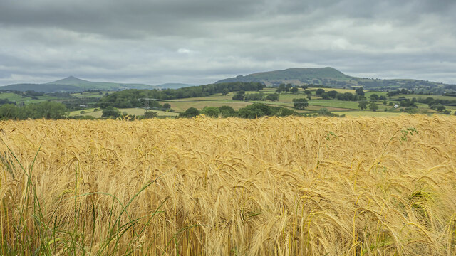
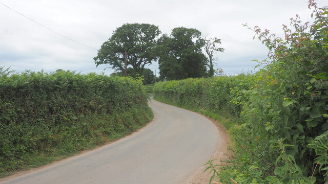
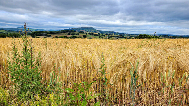
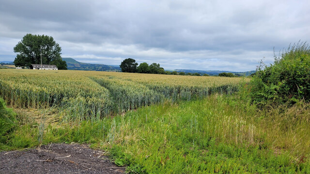
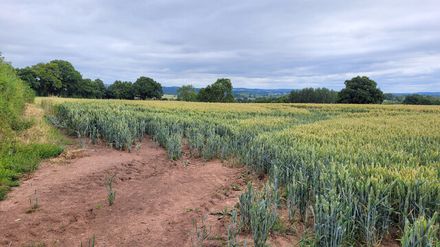
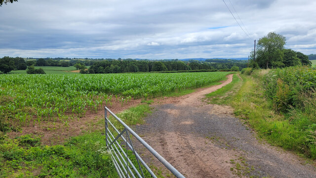
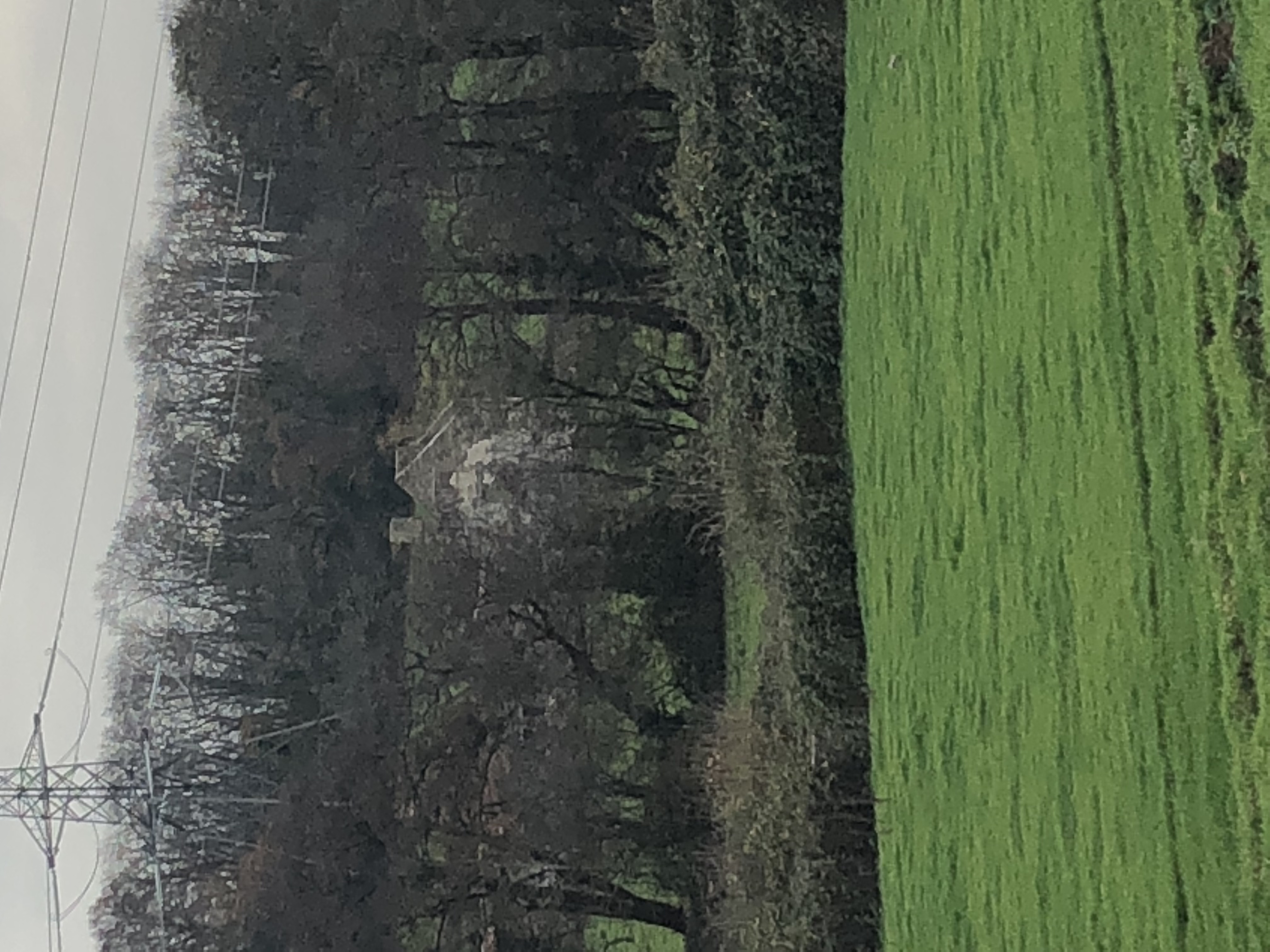
Coed Morgan is a small village located in Monmouthshire, a county in southeastern Wales, United Kingdom. Nestled amidst picturesque countryside, the village is situated approximately 3 miles northeast of the town of Abergavenny and is surrounded by lush green landscape and rolling hills.

The village of Coed Morgan is known for its peaceful and tranquil atmosphere, making it an ideal place for those seeking a quiet and idyllic rural setting. The village is primarily residential, with a small population of friendly and close-knit community members. The architecture of the village consists mainly of traditional Welsh stone houses, giving it a charming and timeless feel.

Despite its small size, Coed Morgan offers its residents and visitors a range of amenities. There is a local convenience store, providing essentials and basic groceries. Additionally, the village has a community center that hosts various events and activities throughout the year, fostering a sense of community spirit.

The surrounding area of Coed Morgan is rich in natural beauty, with ample opportunities for outdoor activities. The nearby Brecon Beacons National Park is a popular attraction for hiking and exploring the stunning scenery. The village is also conveniently located near the renowned Abergavenny Food Festival, which attracts food enthusiasts from far and wide.

Overall, Coed Morgan is a charming village that offers a peaceful and picturesque setting, making it an attractive place to live or visit for those who appreciate the beauty of the Welsh countryside.

If you have any feedback on the listing, please let us know in the comments section below.

Coed Morgan Images

Images are sourced within 2km of 51.798239/-2.930381 or Grid Reference SO3511. Thanks to Geograph Open Source API. All images are credited.

National Speed Limit sign, Llanarth, Monmouthshire Viewed from the 30mph zone.
National Speed Limit sign, Llanarth, Monmouthshire
Viewed from the 30mph zone.
Towards road markings, Llanarth Looking towards broken white lines in the middle of a hedge-lined road in rural Monmouthshire.
Towards road markings, Llanarth
Looking towards broken white lines in the middle of a hedge-lined road in rural Monmouthshire.
Warning sign in a hedge, Llanarth, Monmouthshire  On the approach to a minor junction.
Warning sign in a hedge, Llanarth, Monmouthshire
On the approach to a minor junction.
Former church for sale in January 2022, Llanarth The former St Teilo's church in the Church in Wales Diocese of Monmouth was for sale when I was here in September 2020. It remains for sale on January 2nd 2022.
Former church for sale in January 2022, Llanarth
The former St Teilo's church in the Church in Wales Diocese of Monmouth was for sale when I was here in September 2020. It remains for sale on January 2nd 2022.
Deciduous trees in winter, Llanarth, Monmouthshire Leafless trees viewed on January 2nd 2022.
Deciduous trees in winter, Llanarth, Monmouthshire
Leafless trees viewed on January 2nd 2022.
Muddy field in winter, Llanarth, Monmouthshire Viewed on January 2nd 2022.
Muddy field in winter, Llanarth, Monmouthshire
Viewed on January 2nd 2022.
Stile access to a public footpath, Llanarth Near the stile, a public footpath sign points towards this <a title="https://www.geograph.org.uk/photo/7060546" href="https://www.geograph.org.uk/photo/7060546">Link</a> field, muddy on January 2nd 2022.
Stile access to a public footpath, Llanarth
Near the stile, a public footpath sign points towards this Link field, muddy on January 2nd 2022.
Church For Sale board, January 2022, Llanarth The Hutchings & Thomas chartered surveyors board refers to the nearby former St Teilo's Church <a title="https://www.geograph.org.uk/photo/7060540" href="https://www.geograph.org.uk/photo/7060540">Link</a>. A Heritage Llanarth September 2021 Newsletter <a title="https://www.geograph.org.uk/photo/7060552" href="https://www.geograph.org.uk/photo/7060552">Link</a> is on the lower left corner of the board on January 2nd 2022.
Church For Sale board, January 2022, Llanarth
The Hutchings & Thomas chartered surveyors board refers to the nearby former St Teilo's Church Link. A Heritage Llanarth September 2021 Newsletter Link is on the lower left corner of the board on January 2nd 2022.
Heritage Llanarth September 2021 Newsletter  On this <a title="https://www.geograph.org.uk/photo/7060551" href="https://www.geograph.org.uk/photo/7060551">Link</a> Church For Sale board on January 2nd 2022.
Heritage Llanarth September 2021 Newsletter
On this Link Church For Sale board on January 2nd 2022.
Barley field and great view, 1 The ripening barley in early July with a view to Y Fal, Sugarloaf, left distance and Ysgyryd Fawr, The Skirrid, centre right.
See <a href="https://www.geograph.org.uk/photo/7226965">SO3612 : Barley field and great view, 2</a> for a focus on the barley crop.
Barley field and great view, 1
The ripening barley in early July with a view to Y Fal, Sugarloaf, left distance and Ysgyryd Fawr, The Skirrid, centre right. See SO3612 : Barley field and great view, 2 for a focus on the barley crop.
Road to Llandewi Rhydderch Looking west.
Road to Llandewi Rhydderch
Looking west.
Church Lane, Llanddewi Rhydderch The church is situated in the adjacent gridsquare to the west.
Church Lane, Llanddewi Rhydderch
The church is situated in the adjacent gridsquare to the west.
Llandewi Rhydderch Picture of the village centre.
Llandewi Rhydderch
Picture of the village centre.
Barley field and great view, 2 Focus on the crop rather than the hills, compared to <a href="https://www.geograph.org.uk/photo/7218735">SO3612 : Barley field and great view, 1</a>.
The hills in the distance are Sugarloaf, Y Fal, to the left and Ysgyryd Fawr, Skirrid, centre.

You'll remember me when the west wind moves
Upon the fields of barley
You'll forget the sun in his jealous sky
As we walk in fields of gold.

Sting - 'Fields of Gold'
Barley field and great view, 2
Focus on the crop rather than the hills, compared to SO3612 : Barley field and great view, 1. The hills in the distance are Sugarloaf, Y Fal, to the left and Ysgyryd Fawr, Skirrid, centre. You'll remember me when the west wind moves Upon the fields of barley You'll forget the sun in his jealous sky As we walk in fields of gold. Sting - 'Fields of Gold'
Wheat field opposite Cefn Cottage Distant view to Ysgyryd Fawr.
Wheat field opposite Cefn Cottage
Distant view to Ysgyryd Fawr.
Wheat field opposite Cefn Cottage Looking north-east.
Wheat field opposite Cefn Cottage
Looking north-east.
Monmouthshire wheat field To the north of Llanarth, looking north-west.
Monmouthshire wheat field
To the north of Llanarth, looking north-west.
Monmouthshire maize field To the north of Llanarth, looking north-east.
Monmouthshire maize field
To the north of Llanarth, looking north-east.
Show me another place!

Coed Morgan is located at Grid Ref: SO3511 (Lat: 51.798239, Lng: -2.930381)

Unitary Authority: Monmouthshire

Police Authority: Gwent

What 3 Words

///guises.equivocal.unhelpful. Near Llanarth, Monmouthshire

Nearby Locations

Coed Morgan

Related Wikis

Coed Morgan

Coed Morgan is a village and rural area in Monmouthshire, south east Wales, in the United Kingdom. == Location == Coed Morgan is situated four miles east...

Pwllyrhwyad, Llanarth

Pwllyrhwyad, Llanarth, Monmouthshire is a cottage dating from the 16th century with some later additions. It is a Grade II* listed building. == History... ==

Coed-y-gelli, Llanarth

Coed-y-gelli, Llanarth, Monmouthshire is a house dating from the late 16th or early 17th centuries. It is a Grade II* listed building. == History == The...

St Bride's Church, Llansantffraed

The Church of St Bride (or St Bridget) in Llansantffraed near Raglan, Monmouthshire, Wales, is a parish church of Norman origins. The church was restored...

Llansantffraed, Monmouthshire

Llansantffraed is the smallest parish in Monmouthshire, Wales, located four miles to the west of Raglan, north of the A40 between Raglan and Abergavenny...

Llanarth, Monmouthshire

Llanarth is a privately owned estate village and community within a conservation area in the Welsh county of Monmouthshire. Llanarth is roughly six miles...

Court Farmhouse, Llanover

Court Farmhouse and the attached Court Farm Cottage, Llanover, Monmouthshire is a country house dating from the early 16th century. Originally two houses...

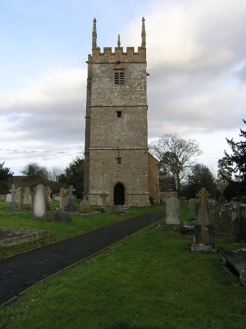
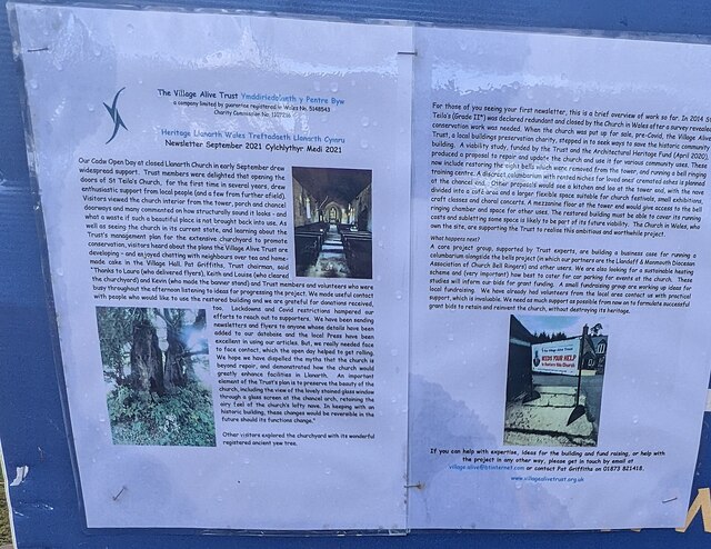
St Teilo's Church, Llanarth

The Church of St Teilo, Llanarth, Monmouthshire, Wales is a former parish church with its origins in the 15th century. Renovations took place in the 18th...

Nearby Amenities

Located within 500m of 51.798239,-2.930381
Lonesome Farm
Landuse: farm
Note Retag: CS #48756035
Source: OS_OpenData_StreetView
Lat/Long: 51.7973772/-2.9330471
Lower Coed Morgan
Place: hamlet
Source: OS_OpenData_StreetView
Lat/Long: 51.7967661/-2.9269134
The data included in this document is from www.openstreetmap.org. The data is made available under ODbL.

Have you been to Coed Morgan?

Leave your review of Coed Morgan below (or comments, questions and feedback).