Coed Mawr

Settlement in Caernarfonshire

Wales

Coed Mawr

A typical road bridge over the A55, near Bangor An Eastbound view, showing the snow-covered mountains of Snowdonia ahead. This section of the A55 makes up the Bangor Bypass and opened in 1983.
A typical road bridge over the A55, near Bangor Credit: Oliver Mills

The requested URL returned error: 429 Too Many Requests

If you have any feedback on the listing, please let us know in the comments section below.
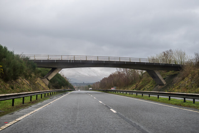
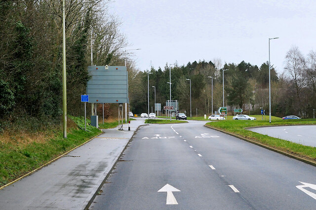
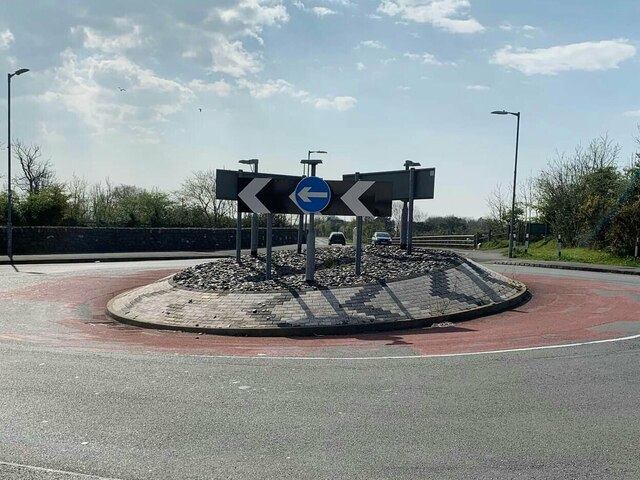
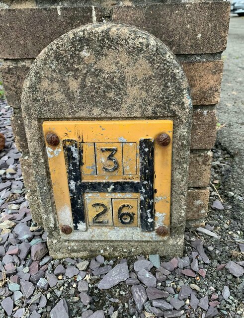
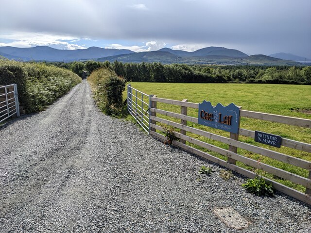
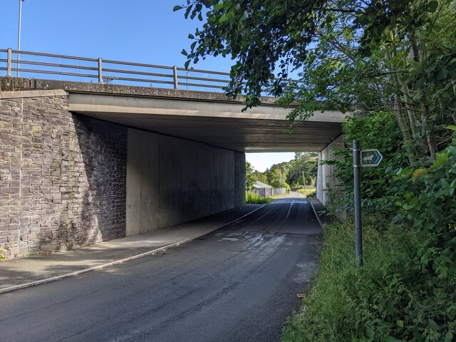
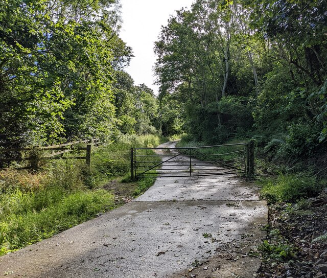
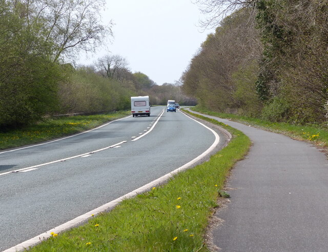
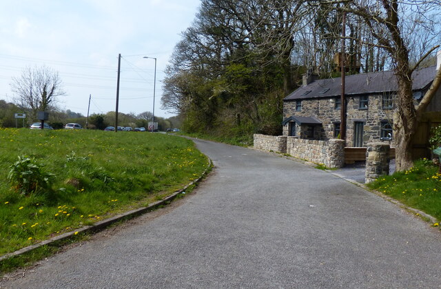
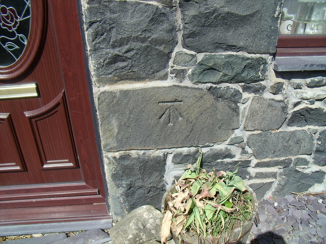
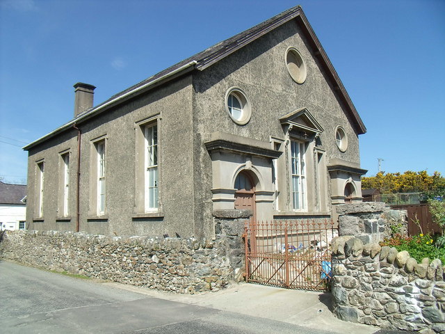
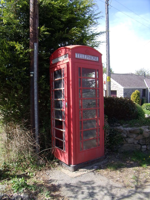
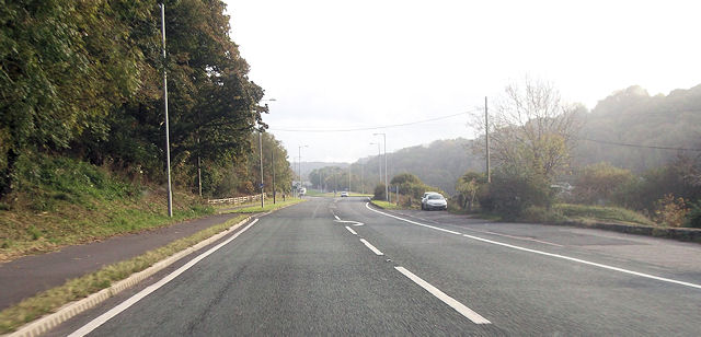
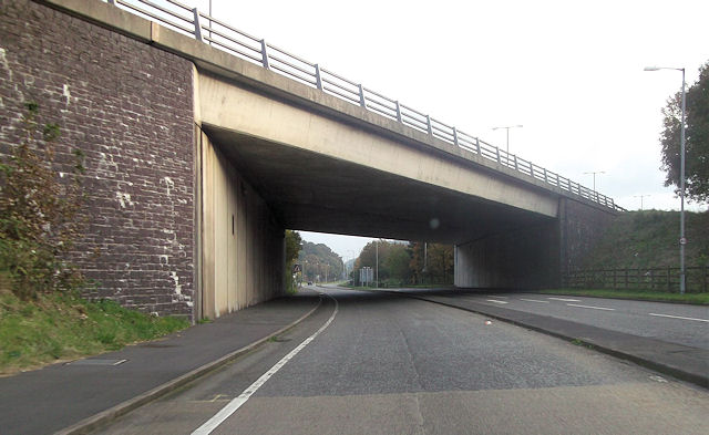
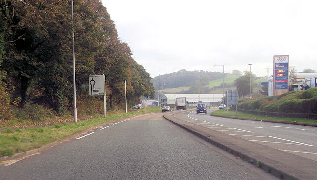
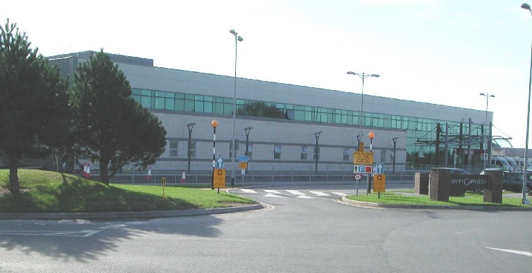
Coed Mawr Images

Images are sourced within 2km of 53.213392/-4.149718 or Grid Reference SH5670. Thanks to Geograph Open Source API. All images are credited.

A typical road bridge over the A55, near Bangor An Eastbound view, showing the snow-covered mountains of Snowdonia ahead. This section of the A55 makes up the Bangor Bypass and opened in 1983.
A typical road bridge over the A55, near Bangor
An Eastbound view, showing the snow-covered mountains of Snowdonia ahead. This section of the A55 makes up the Bangor Bypass and opened in 1983.
A487 at Junction 9 of the North Wales Expressway
Eddie Stobart truck, Bangor
Eddie Stobart tanker, Bangor kathleen Amy H5953 PF19 WDK
Eddie Stobart tanker, Bangor
kathleen Amy H5953 PF19 WDK
Roundabout on Penrhos Road, Bangor
Hydrant marker on Ffordd Cynan, Bangor
The lane to Brithdir Mawr The larger sign is for Cae Lai 'campio glampio' - an invented phrase, I think! But it does sound better than 'glamping'.
The lane to Brithdir Mawr
The larger sign is for Cae Lai 'campio glampio' - an invented phrase, I think! But it does sound better than 'glamping'.
The grassy lane to Brithdir
An underpass below the A55
A bridleway next to the A55 The A55 major highway is hidden by the trees to the left.
A bridleway next to the A55
The A55 major highway is hidden by the trees to the left.
A4087 towards Y Felinheli
Llys Orwig along the A4087
Benchmark at  Four Alls, Pant-caerhun This benchmark is located on SE face of Four Alls in Pant-caerhun & it is shown in the current Ordnance Survey database at a height of 85.7890m above the Newlyn datum.
Benchmark at Four Alls, Pant-caerhun
This benchmark is located on SE face of Four Alls in Pant-caerhun & it is shown in the current Ordnance Survey database at a height of 85.7890m above the Newlyn datum.
MC Chapel, Caerhun
MC Chapel, Caerhun
Red telephone kiosk, Caerhun A BT red kiosk located in the small hamlet of Caerhun.
Red telephone kiosk, Caerhun
A BT red kiosk located in the small hamlet of Caerhun.
A4087 at Pen y Bonc Large lay by on right is opposite turning to Pen y Bonc
A4087 at Pen y Bonc
Large lay by on right is opposite turning to Pen y Bonc
A55 bridge over A4087 at roundabout
A4087 just south of Tesco roundabout Tesco Extra Bangor on right
A4087 just south of Tesco roundabout
Tesco Extra Bangor on right
Show me another place!

Coed Mawr is located at Grid Ref: SH5670 (Lat: 53.213392, Lng: -4.149718)

Unitary Authority: Gwynedd

Police Authority: North Wales

What 3 Words

///proposals.windmill.outbursts. Near Menai Bridge, Isle of Anglesey

Related Wikis

Friars School, Bangor

Friars School is a school in Bangor, Gwynedd, and the second oldest extant school in Wales. == History == === 1557 Establishment === The school was founded...

Glyder (electoral ward)

Glyder is an electoral ward in the city of Bangor, Gwynedd, Wales, electing councillors to the city council and Gwynedd Council. == Description == The...

Ysgol Tryfan

Ysgol Tryfan is a bilingual (Welsh - English) comprehensive school for pupils aged 11–18, situated in Bangor, Gwynedd. 471 pupils were enrolled at the...

Ysbyty Gwynedd

Ysbyty Gwynedd (English: Gwynedd Hospital) is a district general hospital in Bangor, Gwynedd, Wales. It is managed by Betsi Cadwaladr University Health...

Nearby Amenities

Located within 500m of 53.213392,-4.149718
Post Box
Collection Times: Mo-Fr 17:00; Sa 11:00
Operator: Royal Mail
Operator Wikidata: Q638098
Post Box Type: pillar
Ref: LL57 28
Royal Cypher: GR
Royal Cypher Wikidata: Q33102273
Lat/Long: 53.2157982/-4.1501785
Bus Stop
Pen Coed Mawr
Bench: yes
Bin: no
Bus: yes
Public Transport: platform
Shelter: yes
Tactile Paving: no
Lat/Long: 53.2160973/-4.1498873
Turning Circle
Lat/Long: 53.2136984/-4.1488379
Post Box
Collection Times: Mo-Fr 09:00; Sa 07:00
Operator: Royal Mail
Operator Wikidata: Q638098
Post Box Type: lamp
Ref: LL57 254
Royal Cypher: EIIR
Royal Cypher Wikidata: Q33102113
Source: survey
Lat/Long: 53.2144261/-4.1460242
Bus Stop
Trehwfa
Bus: yes
Naptan AtcoCode: 5400AWF80908
Naptan NaptanCode: gwndjta
Public Transport: platform
Shelter: yes
Lat/Long: 53.2146295/-4.1463309
Fast Food
O'My Cod!
Addr City: Bangor
Addr Housenumber: 17
Addr Postcode: LL57 4TB
Addr Street: Ffiodd Coed Mawr
Alt Name: O My Cod
Cuisine: fish_and_chips
Fhrs Id: 929463
Fhrs Local Authority Id: 25102
Old Name: The Plaice to Be
Lat/Long: 53.2144068/-4.1461792
Turning Circle
Lat/Long: 53.2169089/-4.1461641
Barrier: bollard
Lat/Long: 53.2165892/-4.1453753
Bench
Lat/Long: 53.2161082/-4.1495355
Bus Stop
Penrhos
Bench: no
Bin: no
Bus: yes
Naptan AtcoCode: 5400AWP26216
Naptan NaptanCode: gwnamag
Public Transport: platform
Shelter: no
Tactile Paving: no
Lat/Long: 53.2175258/-4.1473259
Turning Circle
Lat/Long: 53.2126741/-4.1551153
Bus Stop
Bryn Adda
Bench: no
Bin: no
Bus: yes
Public Transport: platform
Shelter: no
Lat/Long: 53.2135962/-4.155409
Turning Circle
Lat/Long: 53.2134512/-4.1527477
Mini Roundabout
Direction: clockwise
Lat/Long: 53.2145677/-4.1552539
Bus Stop
Hafod Elfyn
Bench: no
Bin: no
Bus: yes
Naptan AtcoCode: 5400WDB48328
Naptan NaptanCode: gwntwam
Public Transport: platform
Shelter: no
Tactile Paving: no
Lat/Long: 53.214761/-4.152357
Bus Stop
Hafod Elfyn
Bench: no
Bin: no
Bus: yes
Public Transport: platform
Shelter: no
Tactile Paving: no
Lat/Long: 53.2148741/-4.1524148
Post Box
Collection Times: Mo-Fr 09:00; Sa 07:00
Operator: Royal Mail
Operator Wikidata: Q638098
Post Box Type: lamp
Ref: LL57 279D
Royal Cypher: EIIR
Royal Cypher Wikidata: Q33102113
Lat/Long: 53.2149464/-4.1428501
Mini Roundabout
Direction: clockwise
Lat/Long: 53.2138234/-4.1439517
Bus Stop
Bus: yes
Public Transport: platform
Lat/Long: 53.2096175/-4.1504985
Bus Stop
Bus: yes
Public Transport: platform
Lat/Long: 53.2090708/-4.1512153
Bus Stop
Bus: yes
Public Transport: platform
Lat/Long: 53.211175/-4.1479288
Bus Stop
Bus: yes
Public Transport: platform
Lat/Long: 53.2115498/-4.147136
Bus Stop
Bus: yes
Naptan AtcoCode: 5400AWF80909
Naptan NaptanCode: gwndjtd
Public Transport: platform
Lat/Long: 53.2142143/-4.1435977
Noexit: yes
Lat/Long: 53.2170476/-4.1483907
Noexit: yes
Lat/Long: 53.2171793/-4.1480929
Crossing
Crossing: uncontrolled
Crossing Ref: zebra
Lat/Long: 53.2105095/-4.1502639
Source: Bing
Traffic Calming: hump
Lat/Long: 53.2158421/-4.1495888
Power: pole
Lat/Long: 53.2095262/-4.1528383
Power: pole
Lat/Long: 53.2094897/-4.1521725
Noexit: yes
Lat/Long: 53.2132984/-4.1463675
Addr Housenumber: 23
Addr Postcode: LL57 4TB
Addr Street: Ffiodd Coed Mawr
Shop: hairdresser
Source: survey
Source Addr: interpolation
Lat/Long: 53.2145539/-4.1466297
Cafe
Costa
Addr City: Bangor
Addr Housename: Next
Addr Postcode: LL57 4SU
Addr Street: Ffordd Caernarfon
Alt Name: Costa Next
Brand: Costa
Brand Wikidata: Q608845
Brand Wikipedia: en:Costa Coffee
Building Levels: 1
Cuisine: coffee_shop
Fhrs Id: 704948
Fhrs Local Authority Id: 23697
Layer: 1
Takeaway: yes
Lat/Long: 53.2092982/-4.150181
Noexit: yes
Lat/Long: 53.2134263/-4.1451834
Addr Housenumber: 9
Addr Postcode: LL57 4TB
Addr Street: Ffiodd Coed Mawr
Source: survey
Source Addr: interpolation
Lat/Long: 53.2141921/-4.1453682
Addr Housenumber: 24
Addr Postcode: LL57 4TB
Addr Street: Ffiodd Coed Mawr
Source: survey
Source Addr: extrapolation
Lat/Long: 53.214507/-4.1452968
Addr Housenumber: 68
Addr Postcode: LL57 4TH
Addr Street: Ffiodd Coed Mawr
Source: survey
Source Addr: extrapolation
Source Postcode: interpolation from ONS Open Data
Lat/Long: 53.2156876/-4.1484271
Addr Housenumber: 28
Addr Postcode: LL57 4TB
Addr Street: Ffiodd Coed Mawr
Source: survey
Source Addr: extrapolation
Lat/Long: 53.2145778/-4.1454992
Source: Bing
Traffic Calming: hump
Lat/Long: 53.2151163/-4.1475917
Addr Housenumber: 70
Addr Postcode: LL57 4TH
Addr Street: Ffiodd Coed Mawr
Source: survey
Source Addr: extrapolation
Source Postcode: interpolation from ONS Open Data
Lat/Long: 53.2156812/-4.148529
Source: Bing
Traffic Calming: hump
Lat/Long: 53.2146039/-4.1461422
Addr Housenumber: 58
Addr Postcode: LL57 4TH
Addr Street: Ffiodd Coed Mawr
Source: survey
Source Addr: extrapolation
Source Postcode: interpolation from ONS Open Data
Lat/Long: 53.2153616/-4.1474951
Addr Housenumber: 35
Addr Postcode: LL57 4TH
Addr Street: Ffiodd Coed Mawr
Source: survey
Source Addr: extrapolation
Source Postcode: interpolation from ONS Open Data
Lat/Long: 53.2149465/-4.1475689
Lifestyle Express
Addr City: Bangor
Addr Housenumber: 21
Addr Postcode: LL57 4TB
Addr Street: Ffiodd Coed Mawr
Brand: Lifestyle Express
Brand Wikidata: Q61994869
Fhrs Id: 810979
Fhrs Local Authority Id: 24490
Shop: convenience
Lat/Long: 53.2145306/-4.1464209
Addr Housenumber: 13
Addr Postcode: LL57 4TB
Addr Street: Ffiodd Coed Mawr
Fixme: not checked
Source: survey
Source Addr: interpolation
Lat/Long: 53.214305/-4.1456669
Addr Housenumber: 33
Addr Postcode: LL57 4TH
Addr Street: Ffiodd Coed Mawr
Source: survey
Source Addr: extrapolation
Source Postcode: interpolation from ONS Open Data
Lat/Long: 53.2149095/-4.147475
Source: Bing
Traffic Calming: hump
Lat/Long: 53.2149839/-4.1472212
Source: Bing
Traffic Calming: hump
Lat/Long: 53.2152987/-4.1480929
Addr Housenumber: 8
Addr Postcode: LL57 4TB
Addr Street: Ffiodd Coed Mawr
Source: survey
Source Addr: extrapolation
Lat/Long: 53.2141623/-4.1443489
Addr Housenumber: 48
Addr Postcode: LL57 4TH
Addr Street: Ffiodd Coed Mawr
Source: survey
Source Addr: extrapolation
Source Postcode: interpolation from ONS Open Data
Lat/Long: 53.2151048/-4.1468634
Addr Housenumber: 56
Addr Postcode: LL57 4TH
Addr Street: Ffiodd Coed Mawr
Source: survey
Source Addr: extrapolation
Source Postcode: interpolation from ONS Open Data
Lat/Long: 53.2152974/-4.1474871
Addr Housenumber: 66
Addr Postcode: LL57 4TH
Addr Street: Ffiodd Coed Mawr
Source: survey
Source Addr: extrapolation
Source Postcode: interpolation from ONS Open Data
Lat/Long: 53.2155777/-4.1482689
Addr Housenumber: 46
Addr Postcode: LL57 4TH
Addr Street: Ffiodd Coed Mawr
Source: survey
Source Addr: extrapolation
Source Postcode: interpolation from ONS Open Data
Lat/Long: 53.2151159/-4.1467454
Addr Housenumber: 6
Addr Postcode: LL57 4TB
Addr Street: Ffiodd Coed Mawr
Source: survey
Source Addr: extrapolation
Lat/Long: 53.2141389/-4.1442619
Addr Housenumber: 52
Addr Postcode: LL57 4TH
Addr Street: Ffiodd Coed Mawr
Source: survey
Source Addr: extrapolation
Source Postcode: interpolation from ONS Open Data
Lat/Long: 53.215177/-4.1471812
Addr Housenumber: 16
Addr Postcode: LL57 4TB
Addr Street: Ffiodd Coed Mawr
Source: survey
Source Addr: extrapolation
Lat/Long: 53.2143579/-4.1449162
Addr Housenumber: 64
Addr Postcode: LL57 4TH
Addr Street: Ffiodd Coed Mawr
Source: survey
Source Addr: extrapolation
Source Postcode: interpolation from ONS Open Data
Lat/Long: 53.2155921/-4.1481696
Fast Food
City Spice
Addr City: Bangor
Addr Housenumber: 19
Addr Postcode: LL57 4TB
Addr Street: Ffiodd Coed Mawr
Cuisine: indian
Fhrs Id: 1082249
Fhrs Local Authority Id: 26373
Lat/Long: 53.2144968/-4.1462948
Addr Housenumber: 72
Addr Postcode: LL57 4TH
Addr Street: Ffiodd Coed Mawr
Source: survey
Source Addr: extrapolation
Source Postcode: interpolation from ONS Open Data
Lat/Long: 53.215756/-4.1486391
Addr Housenumber: 7
Addr Postcode: LL57 4TB
Addr Street: Ffiodd Coed Mawr
Source: survey
Source Addr: interpolation
Lat/Long: 53.2141559/-4.1452637
Addr Housenumber: 34
Addr Postcode: LL57 4TB
Addr Street: Ffiodd Coed Mawr
Source: survey
Source Addr: extrapolation
Lat/Long: 53.2146751/-4.1457905
Addr Housenumber: 14
Addr Postcode: LL57 4TB
Addr Street: Ffiodd Coed Mawr
Source: survey
Source Addr: extrapolation
Lat/Long: 53.2143354/-4.1448357
Addr Housenumber: 30
Addr Postcode: LL57 4TB
Addr Street: Ffiodd Coed Mawr
Source: survey
Source Addr: extrapolation
Lat/Long: 53.2146053/-4.145583
Addr Housenumber: 74
Addr Postcode: LL57 4TH
Addr Street: Ffiodd Coed Mawr
Source: survey
Source Addr: extrapolation
Source Postcode: interpolation from ONS Open Data
Lat/Long: 53.215743/-4.1487568
Addr Housenumber: 44
Addr Postcode: LL57 4TB
Addr Street: Ffiodd Coed Mawr
Source: survey
Source Addr: extrapolation
Lat/Long: 53.2149293/-4.1462774
Addr Housenumber: 5
Addr Postcode: LL57 4TB
Addr Street: Ffiodd Coed Mawr
Source: survey
Source Addr: interpolation
Lat/Long: 53.2141197/-4.1451591
Addr Housenumber: 22
Addr Postcode: LL57 4TB
Addr Street: Ffiodd Coed Mawr
Source: survey
Source Addr: extrapolation
Lat/Long: 53.2144866/-4.1452303
Addr Housenumber: 15
Addr Postcode: LL57 4TB
Addr Street: Ffiodd Coed Mawr
Source: survey
Source Addr: interpolation
Lat/Long: 53.2143345/-4.1457603
Addr Housenumber: 25
Addr Postcode: LL57 4TH
Addr Street: Ffiodd Coed Mawr
Source: survey
Source Addr: extrapolation
Source Postcode: interpolation from ONS Open Data
Lat/Long: 53.2147025/-4.1471023
Addr Housenumber: 11
Addr Postcode: LL57 4TB
Addr Street: Ffiodd Coed Mawr
Source: survey
Source Addr: interpolation
Lat/Long: 53.2142283/-4.1454728
Addr Housenumber: 12
Addr Postcode: LL57 4TB
Addr Street: Ffiodd Coed Mawr
Source: survey
Source Addr: extrapolation
Lat/Long: 53.2142785/-4.144702
Addr Housenumber: 26
Addr Postcode: LL57 4TB
Addr Street: Ffiodd Coed Mawr
Source: survey
Source Addr: extrapolation
Lat/Long: 53.2145503/-4.1454155
Addr Housenumber: 20
Addr Postcode: LL57 4TB
Addr Street: Ffiodd Coed Mawr
Source: survey
Source Addr: extrapolation
Lat/Long: 53.2144254/-4.1451106
Source: Bing
Traffic Calming: hump
Lat/Long: 53.2141601/-4.1448993
Addr Housenumber: 39
Addr Postcode: LL57 4TH
Addr Street: Ffiodd Coed Mawr
Source: survey
Source Addr: extrapolation
Source Postcode: interpolation from ONS Open Data
Lat/Long: 53.214969/-4.1478746
Addr Housenumber: 2
Addr Postcode: LL57 4TB
Addr Street: Ffiodd Coed Mawr
Source: survey
Source Addr: extrapolation
Lat/Long: 53.214092/-4.1440881
Addr Housenumber: 37
Addr Postcode: LL57 4TH
Addr Street: Ffiodd Coed Mawr
Source: survey
Source Addr: extrapolation
Source Postcode: interpolation from ONS Open Data
Lat/Long: 53.2149883/-4.1477647
Addr Housenumber: 54
Addr Postcode: LL57 4TH
Addr Street: Ffiodd Coed Mawr
Source: survey
Source Addr: extrapolation
Source Postcode: interpolation from ONS Open Data
Lat/Long: 53.2152075/-4.1472912
Addr Housenumber: 40
Addr Postcode: LL57 4TB
Addr Street: Ffiodd Coed Mawr
Source: survey
Source Addr: extrapolation
Lat/Long: 53.2147617/-4.1460641
Addr Housenumber: 3
Addr Postcode: LL57 4TB
Addr Street: Ffiodd Coed Mawr
Source: survey
Source Addr: interpolation
Lat/Long: 53.2140699/-4.14498
Addr Housenumber: 42
Addr Postcode: LL57 4TB
Addr Street: Ffiodd Coed Mawr
Source: survey
Source Addr: extrapolation
Lat/Long: 53.2148666/-4.1462613
Addr Housenumber: 29
Addr Postcode: LL57 4TH
Addr Street: Ffiodd Coed Mawr
Source: survey
Source Addr: extrapolation
Source Postcode: interpolation from ONS Open Data
Lat/Long: 53.2148663/-4.1473276
Addr Housenumber: 41
Addr Postcode: LL57 4TH
Addr Street: Ffiodd Coed Mawr
Source: survey
Source Addr: extrapolation
Source Postcode: interpolation from ONS Open Data
Lat/Long: 53.2151232/-4.1482528
Addr Housenumber: 43
Addr Postcode: LL57 4TH
Addr Street: Ffiodd Coed Mawr
Source: survey
Source Addr: extrapolation
Source Postcode: interpolation from ONS Open Data
Lat/Long: 53.2151954/-4.1482984
Addr Housenumber: 10
Addr Postcode: LL57 4TB
Addr Street: Ffiodd Coed Mawr
Source: survey
Source Addr: extrapolation
Lat/Long: 53.2142572/-4.1446395
Addr Housenumber: 60
Addr Postcode: LL57 4TH
Addr Street: Ffiodd Coed Mawr
Source: survey
Source Addr: extrapolation
Source Postcode: interpolation from ONS Open Data
Lat/Long: 53.2155022/-4.1478826
Addr Housenumber: 32
Addr Postcode: LL57 4TB
Addr Street: Ffiodd Coed Mawr
Source: survey
Source Addr: extrapolation
Lat/Long: 53.2146328/-4.1456668
Source: Bing
Traffic Calming: hump
Lat/Long: 53.2144051/-4.1455797
Addr Housenumber: 50
Addr Postcode: LL57 4TH
Addr Street: Ffiodd Coed Mawr
Source: survey
Source Addr: extrapolation
Source Postcode: interpolation from ONS Open Data
Lat/Long: 53.2151465/-4.1471008
Addr Housenumber: 4
Addr Postcode: LL57 4TB
Addr Street: Ffiodd Coed Mawr
Source: survey
Source Addr: extrapolation
Lat/Long: 53.2141155/-4.144175
Addr Housenumber: 18
Addr Postcode: LL57 4TB
Addr Street: Ffiodd Coed Mawr
Source: survey
Source Addr: extrapolation
Lat/Long: 53.2144044/-4.1450382
Addr Housenumber: 27
Addr Postcode: LL57 4TH
Addr Street: Ffiodd Coed Mawr
Source: survey
Source Addr: extrapolation
Source Postcode: interpolation from ONS Open Data
Lat/Long: 53.2147698/-4.1471345
Addr Housenumber: 38
Addr Postcode: LL57 4TB
Addr Street: Ffiodd Coed Mawr
Source: survey
Source Addr: extrapolation
Lat/Long: 53.2147278/-4.1459569
Addr Housenumber: 1
Addr Postcode: LL57 4TB
Addr Street: Ffiodd Coed Mawr
Source: survey
Source Addr: interpolation
Lat/Long: 53.2140283/-4.1448405
Addr Housenumber: 36
Addr Postcode: LL57 4TB
Addr Street: Ffiodd Coed Mawr
Source: survey
Source Addr: extrapolation
Lat/Long: 53.2147009/-4.1458719
Waste Basket
Source: survey
Lat/Long: 53.2145787/-4.1463538
Addr Housenumber: 62
Addr Postcode: LL57 4TH
Addr Street: Ffiodd Coed Mawr
Source: survey
Source Addr: extrapolation
Source Postcode: interpolation from ONS Open Data
Lat/Long: 53.2154877/-4.1479953
Addr Housenumber: 31
Addr Postcode: LL57 4TH
Addr Street: Ffiodd Coed Mawr
Source: survey
Source Addr: extrapolation
Source Postcode: interpolation from ONS Open Data
Lat/Long: 53.2148839/-4.1474079
Power: substation
Lat/Long: 53.215406/-4.150219
Power: substation
Lat/Long: 53.212278/-4.148293
Power: substation
Lat/Long: 53.215299/-4.146995
Penrhos
Bus: yes
Public Transport: stop_position
Lat/Long: 53.2175217/-4.1471763
Bus Stop
Top Coed Mawr
Bench: no
Bin: no
Bus: yes
Public Transport: platform
Shelter: no
Tactile Paving: no
Lat/Long: 53.2154731/-4.1501431
Top Coed Mawr
Bus: yes
Public Transport: stop_position
Lat/Long: 53.2155058/-4.1502337
Hafod Elfyn
Bus: yes
Public Transport: stop_position
Lat/Long: 53.2148163/-4.1523811
Bus Stop
Bangor Kingdom Hall
Bench: no
Bus: yes
Naptan AtcoCode: 5400AWQ26318
Naptan NaptanCode: gwnagwp
Public Transport: platform
Shelter: no
Lat/Long: 53.2132301/-4.1557841
Bangor Kingdom Hall
Bus: yes
Public Transport: stop_position
Lat/Long: 53.2132636/-4.1558617
Bus: yes
Public Transport: stop_position
Lat/Long: 53.2095777/-4.1504149
Bus: yes
Public Transport: stop_position
Lat/Long: 53.21114/-4.1478316
Bus: yes
Public Transport: stop_position
Lat/Long: 53.2146582/-4.146299
Bus: yes
Public Transport: stop_position
Lat/Long: 53.2141623/-4.1435179
Direction: SE
Generator Method: photovoltaic
Generator Output Electricity: yes
Generator Solar Modules: 12
Generator Source: solar
Generator Type: solar_photovoltaic_panel
Location: roof
Power: generator
Lat/Long: 53.215158/-4.1501097
Direction: SE
Generator Method: photovoltaic
Generator Output Electricity: yes
Generator Solar Modules: 12
Generator Source: solar
Generator Type: solar_photovoltaic_panel
Location: roof
Power: generator
Lat/Long: 53.2152547/-4.1494258
Direction: 220
Generator Method: photovoltaic
Generator Output Electricity: yes
Generator Solar Modules: 16
Generator Source: solar
Generator Type: solar_photovoltaic_panel
Location: roof
Power: generator
Lat/Long: 53.216018/-4.1502701
Direction: SE
Generator Method: photovoltaic
Generator Output Electricity: yes
Generator Solar Modules: 16
Generator Source: solar
Generator Type: solar_photovoltaic_panel
Location: roof
Power: generator
Lat/Long: 53.2163647/-4.1497766
Direction: 220
Generator Method: photovoltaic
Generator Output Electricity: yes
Generator Solar Modules: 5
Generator Source: solar
Generator Type: solar_photovoltaic_panel
Location: roof
Power: generator
Lat/Long: 53.2161305/-4.1493519
Direction: 220
Generator Method: photovoltaic
Generator Output Electricity: yes
Generator Solar Modules: 11
Generator Source: solar
Generator Type: solar_photovoltaic_panel
Location: roof
Power: generator
Lat/Long: 53.2160831/-4.1492566
Direction: SSW
Generator Method: photovoltaic
Generator Output Electricity: yes
Generator Solar Modules: 12
Generator Source: solar
Generator Type: solar_photovoltaic_panel
Location: roof
Power: generator
Lat/Long: 53.2143105/-4.1488127
Direction: 235
Generator Method: photovoltaic
Generator Output Electricity: yes
Generator Solar Modules: 6
Generator Source: solar
Generator Type: solar_photovoltaic_panel
Location: roof
Power: generator
Lat/Long: 53.2155884/-4.1517028
Direction: 235
Generator Method: photovoltaic
Generator Output Electricity: yes
Generator Solar Modules: 10
Generator Source: solar
Generator Type: solar_photovoltaic_panel
Location: roof
Power: generator
Lat/Long: 53.2155274/-4.1516304
Direction: 265
Generator Method: photovoltaic
Generator Output Electricity: yes
Generator Solar Modules: 6
Generator Source: solar
Generator Type: solar_photovoltaic_panel
Location: roof
Power: generator
Lat/Long: 53.2139582/-4.151849
Direction: 265
Generator Method: photovoltaic
Generator Output Electricity: yes
Generator Solar Modules: 6
Generator Source: solar
Generator Type: solar_photovoltaic_panel
Location: roof
Power: generator
Lat/Long: 53.2139036/-4.1518195
Direction: 265
Generator Method: photovoltaic
Generator Output Electricity: yes
Generator Solar Modules: 6
Generator Source: solar
Generator Type: solar_photovoltaic_panel
Location: roof
Power: generator
Lat/Long: 53.2138602/-4.1518061
Direction: 265
Generator Method: photovoltaic
Generator Output Electricity: yes
Generator Solar Modules: 6
Generator Source: solar
Generator Type: solar_photovoltaic_panel
Location: roof
Power: generator
Lat/Long: 53.2138064/-4.1517819
Direction: 185
Generator Method: photovoltaic
Generator Output Electricity: yes
Generator Solar Modules: 6
Generator Source: solar
Generator Type: solar_photovoltaic_panel
Location: roof
Power: generator
Lat/Long: 53.2138369/-4.1529447
Direction: 95
Generator Method: photovoltaic
Generator Output Electricity: yes
Generator Solar Modules: 5
Generator Source: solar
Generator Type: solar_photovoltaic_panel
Location: roof
Power: generator
Lat/Long: 53.2138136/-4.152993
Direction: 185
Generator Method: photovoltaic
Generator Output Electricity: yes
Generator Solar Modules: 6
Generator Source: solar
Generator Type: solar_photovoltaic_panel
Location: roof
Power: generator
Lat/Long: 53.2138289/-4.1530828
Direction: 265
Generator Method: photovoltaic
Generator Output Electricity: yes
Generator Solar Modules: 6
Generator Source: solar
Generator Type: solar_photovoltaic_panel
Location: roof
Power: generator
Lat/Long: 53.2137285/-4.1522849
Direction: 265
Generator Method: photovoltaic
Generator Output Electricity: yes
Generator Solar Modules: 6
Generator Source: solar
Generator Type: solar_photovoltaic_panel
Location: roof
Power: generator
Lat/Long: 53.2137703/-4.1522929
Direction: 265
Generator Method: photovoltaic
Generator Output Electricity: yes
Generator Solar Modules: 6
Generator Source: solar
Generator Type: solar_photovoltaic_panel
Location: roof
Power: generator
Lat/Long: 53.2138233/-4.1523331
Direction: 265
Generator Method: photovoltaic
Generator Output Electricity: yes
Generator Solar Modules: 6
Generator Source: solar
Generator Type: solar_photovoltaic_panel
Location: roof
Power: generator
Lat/Long: 53.2138859/-4.152427
Direction: 265
Generator Method: photovoltaic
Generator Output Electricity: yes
Generator Solar Modules: 6
Generator Source: solar
Generator Type: solar_photovoltaic_panel
Location: roof
Power: generator
Lat/Long: 53.2139377/-4.1524441
Direction: 265
Generator Method: photovoltaic
Generator Output Electricity: yes
Generator Solar Modules: 6
Generator Source: solar
Generator Type: solar_photovoltaic_panel
Location: roof
Power: generator
Lat/Long: 53.2139853/-4.15248
Direction: ESE
Generator Method: photovoltaic
Generator Output Electricity: yes
Generator Solar Modules: 16
Generator Source: solar
Generator Type: solar_photovoltaic_panel
Location: roof
Power: generator
Lat/Long: 53.2129764/-4.1527516
Direction: 125
Generator Method: photovoltaic
Generator Output Electricity: yes
Generator Solar Modules: 12
Generator Source: solar
Generator Type: solar_photovoltaic_panel
Location: roof
Power: generator
Lat/Long: 53.2124283/-4.1544481
Mini Roundabout
Junction: roundabout
Lat/Long: 53.2118279/-4.1468405
Noexit: yes
Lat/Long: 53.2136313/-4.1458194
The data included in this document is from www.openstreetmap.org. The data is made available under ODbL.

Have you been to Coed Mawr?

Leave your review of Coed Mawr below (or comments, questions and feedback).