Bryn-Llwyd

Settlement in Caernarfonshire

Wales

Bryn-Llwyd

A typical road bridge over the A55, near Bangor An Eastbound view, showing the snow-covered mountains of Snowdonia ahead. This section of the A55 makes up the Bangor Bypass and opened in 1983.
A typical road bridge over the A55, near Bangor Credit: Oliver Mills

Bryn-Llwyd is a small village located in the historic county of Caernarfonshire, in North Wales. Situated in the picturesque Snowdonia National Park, it is surrounded by stunning natural beauty. The village is nestled between the mountains of Snowdon and the Irish Sea, offering residents and visitors alike breathtaking views and a peaceful atmosphere.

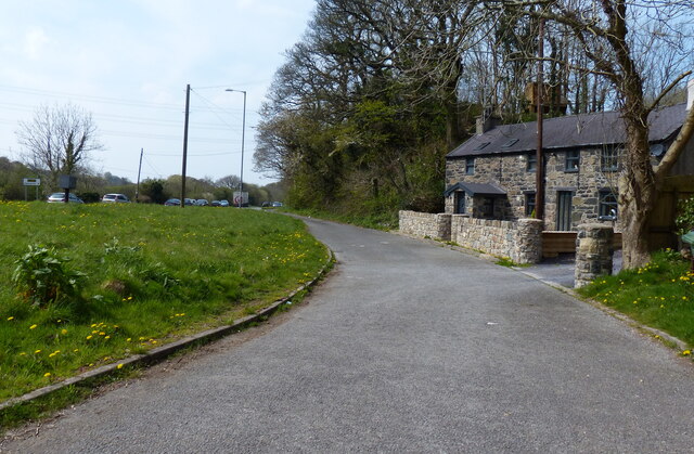
Bryn-Llwyd is home to a close-knit community, with a population of around 500 people. The village primarily consists of traditional stone houses, giving it a charming and rustic feel. It retains much of its original character and has managed to preserve its Welsh heritage.

Despite its small size, Bryn-Llwyd has a few amenities to offer its residents. There is a local primary school, a community center, and a small convenience store for basic necessities. For more extensive shopping and services, residents typically travel to the nearby town of Caernarfon, which is approximately 6 miles away.

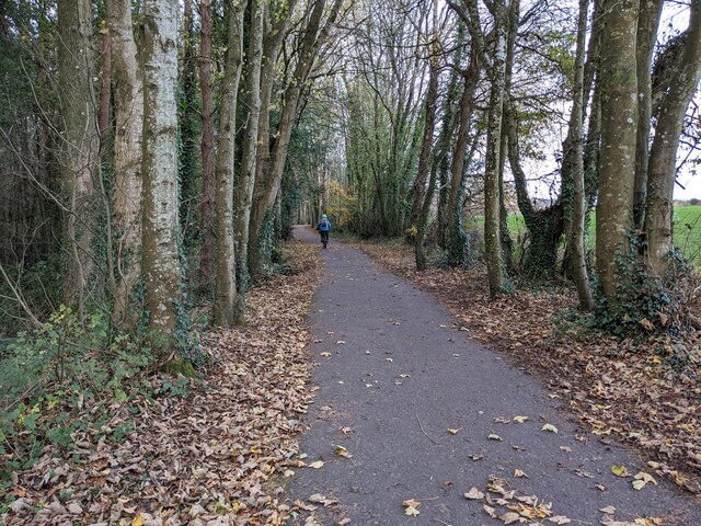
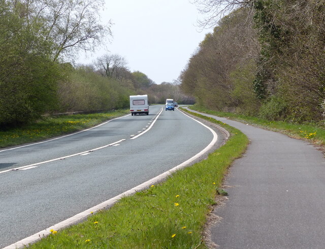
The village is an ideal location for outdoor enthusiasts, as it provides easy access to a range of activities. The surrounding mountains offer opportunities for hiking, climbing, and even mountain biking. The nearby coastline also provides opportunities for water sports, such as sailing and fishing.

Bryn-Llwyd is a peaceful and scenic village, providing a tranquil living environment for its residents. Its proximity to Snowdonia National Park and the beautiful Welsh countryside make it a popular destination for nature lovers and those seeking a rural retreat.

If you have any feedback on the listing, please let us know in the comments section below.
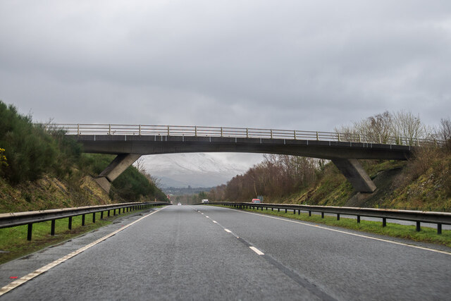
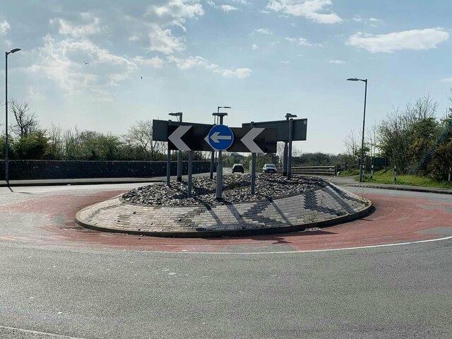
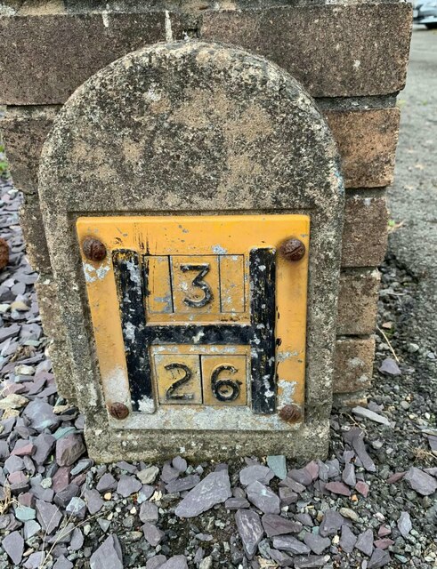
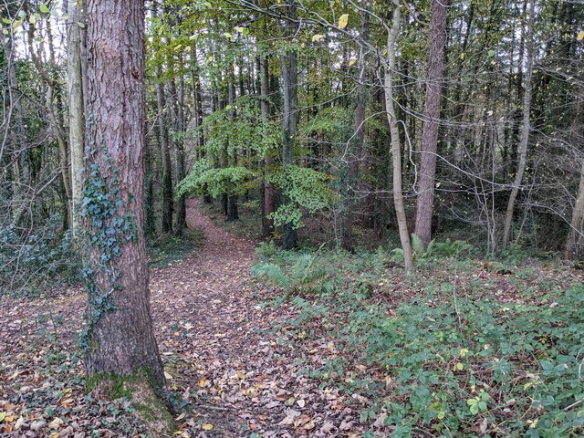
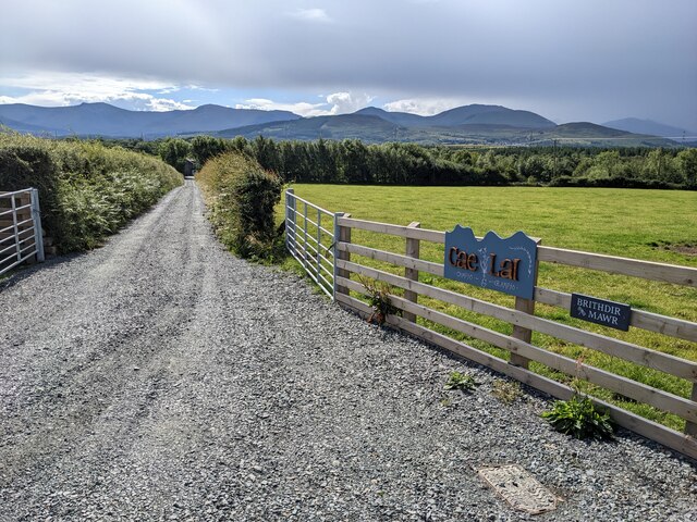
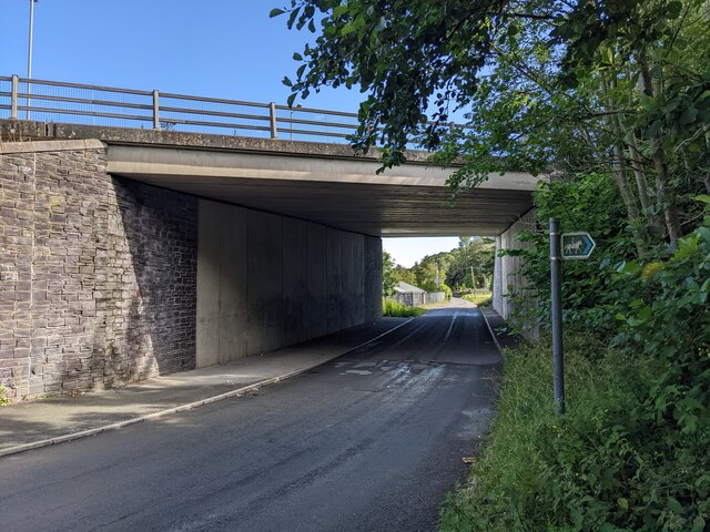
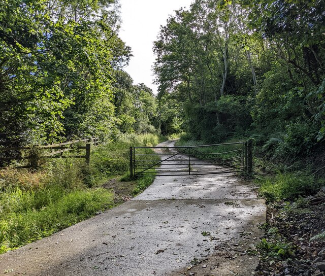
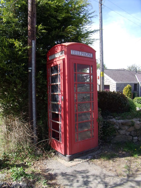
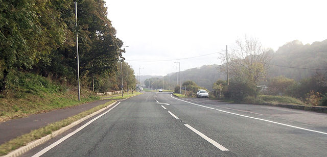
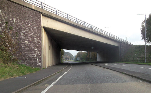
Bryn-Llwyd Images

Images are sourced within 2km of 53.211159/-4.143915 or Grid Reference SH5670. Thanks to Geograph Open Source API. All images are credited.

A typical road bridge over the A55, near Bangor An Eastbound view, showing the snow-covered mountains of Snowdonia ahead. This section of the A55 makes up the Bangor Bypass and opened in 1983.
A typical road bridge over the A55, near Bangor
An Eastbound view, showing the snow-covered mountains of Snowdonia ahead. This section of the A55 makes up the Bangor Bypass and opened in 1983.
Eddie Stobart truck, Bangor
Eddie Stobart tanker, Bangor kathleen Amy H5953 PF19 WDK
Eddie Stobart tanker, Bangor
kathleen Amy H5953 PF19 WDK
Roundabout on Penrhos Road, Bangor
Hydrant marker on Ffordd Cynan, Bangor
A good biking surface on Lôn Las Ogwen
The last of the leaves in the woodland Next to Lôn Las Ogwen.
The last of the leaves in the woodland
Next to Lôn Las Ogwen.
The lane to Brithdir Mawr The larger sign is for Cae Lai 'campio glampio' - an invented phrase, I think! But it does sound better than 'glamping'.
The lane to Brithdir Mawr
The larger sign is for Cae Lai 'campio glampio' - an invented phrase, I think! But it does sound better than 'glamping'.
The grassy lane to Brithdir
An underpass below the A55
A bridleway next to the A55 The A55 major highway is hidden by the trees to the left.
A bridleway next to the A55
The A55 major highway is hidden by the trees to the left.
A4087 towards Y Felinheli
Llys Orwig along the A4087
Benchmark at  Four Alls, Pant-caerhun This benchmark is located on SE face of Four Alls in Pant-caerhun & it is shown in the current Ordnance Survey database at a height of 85.7890m above the Newlyn datum.
Benchmark at Four Alls, Pant-caerhun
This benchmark is located on SE face of Four Alls in Pant-caerhun & it is shown in the current Ordnance Survey database at a height of 85.7890m above the Newlyn datum.
MC Chapel, Caerhun
MC Chapel, Caerhun
Red telephone kiosk, Caerhun A BT red kiosk located in the small hamlet of Caerhun.
Red telephone kiosk, Caerhun
A BT red kiosk located in the small hamlet of Caerhun.
A4087 at Pen y Bonc Large lay by on right is opposite turning to Pen y Bonc
A4087 at Pen y Bonc
Large lay by on right is opposite turning to Pen y Bonc
A55 bridge over A4087 at roundabout
Show me another place!

Bryn-Llwyd is located at Grid Ref: SH5670 (Lat: 53.211159, Lng: -4.143915)

Unitary Authority: Gwynedd

Police Authority: North Wales

Also known as: Bryn Llwyd

What 3 Words

///trend.dumplings.sponsors. Near Bangor, Gwynedd

Related Wikis

Friars School, Bangor

Friars School is a school in Bangor, Gwynedd, and the second oldest extant school in Wales. == History == === 1557 Establishment === The school was founded...

Ysgol Tryfan

Ysgol Tryfan is a bilingual (Welsh - English) comprehensive school for pupils aged 11–18, situated in Bangor, Gwynedd. 471 pupils were enrolled at the...

Glyder (electoral ward)

Glyder is an electoral ward in the city of Bangor, Gwynedd, Wales, electing councillors to the city council and Gwynedd Council. == Description == The...

Hendre (Bangor electoral ward)

Hendre is one of eight electoral wards in the city of Bangor, Gwynedd, Wales. The ward covers part of the city south of the city centre, including West...

Minffordd Hospital

Minffordd Hospital (Welsh: Ysbyty Minffordd) was a health facility in Bangor, Gwynedd, Wales. It was managed by the Betsi Cadwaladr University Health Board...
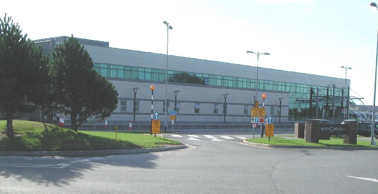
Ysbyty Gwynedd

Ysbyty Gwynedd (English: Gwynedd Hospital) is a district general hospital in Bangor, Gwynedd, Wales. It is managed by Betsi Cadwaladr University Health...

Bangor railway station (Wales)

Bangor railway station serves the city of Bangor, Gwynedd; it is operated by Transport for Wales. The station, which is 24+3⁄4 miles (40 km) east of Holyhead...

Grŵp Llandrillo Menai

Grŵp Llandrillo Menai (GLlM) is an umbrella organisation overseeing the operation of three member colleges in North Wales: Coleg Llandrillo, Coleg Menai...

Related Videos

Walking The STUNNING Llŷn Peninsula - Wales Coast Path 14/50

Day 14/50 Walking the @walescoastpath -Llwybr Arfordir Cymru 󠁧󠁢󠁷󠁬󠁳󠁿 Supported by Cicerone @ciceronePress ...

Exploring the Enchanting Treborth Botanic Garden: A Nature Walking Tour in Wales. Walking Tour.

Experience the serene beauty of Treborth Botanic Garden in Wales as we take you on a virtual stroll through its enchanting ...

Walking The Wales Coast Path 9: Bangor to Beaumaris

The ninth part of my walk along the coastline of Wales. We continue from near the entrance to Bangor Pier and make our way ...

Walking The Wales Coast Path 8: Llanfairfechan to Bangor

Part 8 of our walk along the Wales Coast path. We begin our hike at Llanfairfechan Promenade where we finished up in part 7 and ...

Nearby Amenities

Located within 500m of 53.211159,-4.143915
Turning Circle
Lat/Long: 53.2136984/-4.1488379
Post Box
Collection Times: Mo-Fr 09:00; Sa 07:00
Operator: Royal Mail
Operator Wikidata: Q638098
Post Box Type: lamp
Ref: LL57 254
Royal Cypher: EIIR
Royal Cypher Wikidata: Q33102113
Source: survey
Lat/Long: 53.2144261/-4.1460242
Bus Stop
Trehwfa
Bus: yes
Naptan AtcoCode: 5400AWF80908
Naptan NaptanCode: gwndjta
Public Transport: platform
Shelter: yes
Lat/Long: 53.2146295/-4.1463309
Fast Food
O'My Cod!
Addr City: Bangor
Addr Housenumber: 17
Addr Postcode: LL57 4TB
Addr Street: Ffiodd Coed Mawr
Alt Name: O My Cod
Cuisine: fish_and_chips
Fhrs Id: 929463
Fhrs Local Authority Id: 25102
Old Name: The Plaice to Be
Lat/Long: 53.2144068/-4.1461792
Post Box
Collection Times: Mo-Fr 09:00; Sa 07:00
Operator: Royal Mail
Operator Wikidata: Q638098
Post Box Type: lamp
Ref: LL57 279D
Royal Cypher: EIIR
Royal Cypher Wikidata: Q33102113
Lat/Long: 53.2149464/-4.1428501
Mini Roundabout
Direction: clockwise
Lat/Long: 53.2138234/-4.1439517
Bus Stop
Bus: yes
Public Transport: platform
Lat/Long: 53.2096175/-4.1504985
Bus Stop
Bus: yes
Public Transport: platform
Lat/Long: 53.211175/-4.1479288
Bus Stop
Bus: yes
Public Transport: platform
Lat/Long: 53.2115498/-4.147136
Bus Stop
Bus: yes
Naptan AtcoCode: 5400AWF80909
Naptan NaptanCode: gwndjtd
Public Transport: platform
Lat/Long: 53.2142143/-4.1435977
Crossing
Crossing: uncontrolled
Crossing Ref: zebra
Lat/Long: 53.2105095/-4.1502639
Power: tower
Lat/Long: 53.2080246/-4.1488265
Power: tower
Lat/Long: 53.2082915/-4.1462856
Power: tower
Lat/Long: 53.2098419/-4.1434233
Power: tower
Lat/Long: 53.2114579/-4.1404582
Power: tower
Lat/Long: 53.2130091/-4.1375811
Power: tower
Lat/Long: 53.2090256/-4.1448322
Noexit: yes
Lat/Long: 53.2132984/-4.1463675
Bench
Lat/Long: 53.215221/-4.142493
Bench
Lat/Long: 53.2154443/-4.1424448
Bench
Lat/Long: 53.2155004/-4.1422086
Addr Housenumber: 23
Addr Postcode: LL57 4TB
Addr Street: Ffiodd Coed Mawr
Shop: hairdresser
Source: survey
Source Addr: interpolation
Lat/Long: 53.2145539/-4.1466297
Cafe
Costa
Addr City: Bangor
Addr Housename: Next
Addr Postcode: LL57 4SU
Addr Street: Ffordd Caernarfon
Alt Name: Costa Next
Brand: Costa
Brand Wikidata: Q608845
Brand Wikipedia: en:Costa Coffee
Building Levels: 1
Cuisine: coffee_shop
Fhrs Id: 704948
Fhrs Local Authority Id: 23697
Layer: 1
Takeaway: yes
Lat/Long: 53.2092982/-4.150181
Noexit: yes
Lat/Long: 53.2134263/-4.1451834
Addr Housenumber: 9
Addr Postcode: LL57 4TB
Addr Street: Ffiodd Coed Mawr
Source: survey
Source Addr: interpolation
Lat/Long: 53.2141921/-4.1453682
Addr Housenumber: 24
Addr Postcode: LL57 4TB
Addr Street: Ffiodd Coed Mawr
Source: survey
Source Addr: extrapolation
Lat/Long: 53.214507/-4.1452968
Addr Housenumber: 28
Addr Postcode: LL57 4TB
Addr Street: Ffiodd Coed Mawr
Source: survey
Source Addr: extrapolation
Lat/Long: 53.2145778/-4.1454992
Source: Bing
Traffic Calming: hump
Lat/Long: 53.2146039/-4.1461422
Addr Housenumber: 35
Addr Postcode: LL57 4TH
Addr Street: Ffiodd Coed Mawr
Source: survey
Source Addr: extrapolation
Source Postcode: interpolation from ONS Open Data
Lat/Long: 53.2149465/-4.1475689
Lifestyle Express
Addr City: Bangor
Addr Housenumber: 21
Addr Postcode: LL57 4TB
Addr Street: Ffiodd Coed Mawr
Brand: Lifestyle Express
Brand Wikidata: Q61994869
Fhrs Id: 810979
Fhrs Local Authority Id: 24490
Shop: convenience
Lat/Long: 53.2145306/-4.1464209
Addr Housenumber: 13
Addr Postcode: LL57 4TB
Addr Street: Ffiodd Coed Mawr
Fixme: not checked
Source: survey
Source Addr: interpolation
Lat/Long: 53.214305/-4.1456669
Addr Housenumber: 33
Addr Postcode: LL57 4TH
Addr Street: Ffiodd Coed Mawr
Source: survey
Source Addr: extrapolation
Source Postcode: interpolation from ONS Open Data
Lat/Long: 53.2149095/-4.147475
Source: Bing
Traffic Calming: hump
Lat/Long: 53.2149839/-4.1472212
Addr Housenumber: 8
Addr Postcode: LL57 4TB
Addr Street: Ffiodd Coed Mawr
Source: survey
Source Addr: extrapolation
Lat/Long: 53.2141623/-4.1443489
Addr Housenumber: 48
Addr Postcode: LL57 4TH
Addr Street: Ffiodd Coed Mawr
Source: survey
Source Addr: extrapolation
Source Postcode: interpolation from ONS Open Data
Lat/Long: 53.2151048/-4.1468634
Addr Housenumber: 46
Addr Postcode: LL57 4TH
Addr Street: Ffiodd Coed Mawr
Source: survey
Source Addr: extrapolation
Source Postcode: interpolation from ONS Open Data
Lat/Long: 53.2151159/-4.1467454
Addr Housenumber: 6
Addr Postcode: LL57 4TB
Addr Street: Ffiodd Coed Mawr
Source: survey
Source Addr: extrapolation
Lat/Long: 53.2141389/-4.1442619
Addr Housenumber: 52
Addr Postcode: LL57 4TH
Addr Street: Ffiodd Coed Mawr
Source: survey
Source Addr: extrapolation
Source Postcode: interpolation from ONS Open Data
Lat/Long: 53.215177/-4.1471812
Addr Housenumber: 16
Addr Postcode: LL57 4TB
Addr Street: Ffiodd Coed Mawr
Source: survey
Source Addr: extrapolation
Lat/Long: 53.2143579/-4.1449162
Fast Food
City Spice
Addr City: Bangor
Addr Housenumber: 19
Addr Postcode: LL57 4TB
Addr Street: Ffiodd Coed Mawr
Cuisine: indian
Fhrs Id: 1082249
Fhrs Local Authority Id: 26373
Lat/Long: 53.2144968/-4.1462948
Addr Housenumber: 7
Addr Postcode: LL57 4TB
Addr Street: Ffiodd Coed Mawr
Source: survey
Source Addr: interpolation
Lat/Long: 53.2141559/-4.1452637
Addr Housenumber: 34
Addr Postcode: LL57 4TB
Addr Street: Ffiodd Coed Mawr
Source: survey
Source Addr: extrapolation
Lat/Long: 53.2146751/-4.1457905
Addr Housenumber: 14
Addr Postcode: LL57 4TB
Addr Street: Ffiodd Coed Mawr
Source: survey
Source Addr: extrapolation
Lat/Long: 53.2143354/-4.1448357
Addr Housenumber: 30
Addr Postcode: LL57 4TB
Addr Street: Ffiodd Coed Mawr
Source: survey
Source Addr: extrapolation
Lat/Long: 53.2146053/-4.145583
Addr Housenumber: 44
Addr Postcode: LL57 4TB
Addr Street: Ffiodd Coed Mawr
Source: survey
Source Addr: extrapolation
Lat/Long: 53.2149293/-4.1462774
Addr Housenumber: 5
Addr Postcode: LL57 4TB
Addr Street: Ffiodd Coed Mawr
Source: survey
Source Addr: interpolation
Lat/Long: 53.2141197/-4.1451591
Addr Housenumber: 22
Addr Postcode: LL57 4TB
Addr Street: Ffiodd Coed Mawr
Source: survey
Source Addr: extrapolation
Lat/Long: 53.2144866/-4.1452303
Addr Housenumber: 15
Addr Postcode: LL57 4TB
Addr Street: Ffiodd Coed Mawr
Source: survey
Source Addr: interpolation
Lat/Long: 53.2143345/-4.1457603
Addr Housenumber: 25
Addr Postcode: LL57 4TH
Addr Street: Ffiodd Coed Mawr
Source: survey
Source Addr: extrapolation
Source Postcode: interpolation from ONS Open Data
Lat/Long: 53.2147025/-4.1471023
Addr Housenumber: 11
Addr Postcode: LL57 4TB
Addr Street: Ffiodd Coed Mawr
Source: survey
Source Addr: interpolation
Lat/Long: 53.2142283/-4.1454728
Addr Housenumber: 12
Addr Postcode: LL57 4TB
Addr Street: Ffiodd Coed Mawr
Source: survey
Source Addr: extrapolation
Lat/Long: 53.2142785/-4.144702
Addr Housenumber: 26
Addr Postcode: LL57 4TB
Addr Street: Ffiodd Coed Mawr
Source: survey
Source Addr: extrapolation
Lat/Long: 53.2145503/-4.1454155
Addr Housenumber: 20
Addr Postcode: LL57 4TB
Addr Street: Ffiodd Coed Mawr
Source: survey
Source Addr: extrapolation
Lat/Long: 53.2144254/-4.1451106
Source: Bing
Traffic Calming: hump
Lat/Long: 53.2141601/-4.1448993
Addr Housenumber: 39
Addr Postcode: LL57 4TH
Addr Street: Ffiodd Coed Mawr
Source: survey
Source Addr: extrapolation
Source Postcode: interpolation from ONS Open Data
Lat/Long: 53.214969/-4.1478746
Addr Housenumber: 2
Addr Postcode: LL57 4TB
Addr Street: Ffiodd Coed Mawr
Source: survey
Source Addr: extrapolation
Lat/Long: 53.214092/-4.1440881
Addr Housenumber: 37
Addr Postcode: LL57 4TH
Addr Street: Ffiodd Coed Mawr
Source: survey
Source Addr: extrapolation
Source Postcode: interpolation from ONS Open Data
Lat/Long: 53.2149883/-4.1477647
Addr Housenumber: 40
Addr Postcode: LL57 4TB
Addr Street: Ffiodd Coed Mawr
Source: survey
Source Addr: extrapolation
Lat/Long: 53.2147617/-4.1460641
Addr Housenumber: 3
Addr Postcode: LL57 4TB
Addr Street: Ffiodd Coed Mawr
Source: survey
Source Addr: interpolation
Lat/Long: 53.2140699/-4.14498
Addr Housenumber: 42
Addr Postcode: LL57 4TB
Addr Street: Ffiodd Coed Mawr
Source: survey
Source Addr: extrapolation
Lat/Long: 53.2148666/-4.1462613
Addr Housenumber: 29
Addr Postcode: LL57 4TH
Addr Street: Ffiodd Coed Mawr
Source: survey
Source Addr: extrapolation
Source Postcode: interpolation from ONS Open Data
Lat/Long: 53.2148663/-4.1473276
Addr Housenumber: 10
Addr Postcode: LL57 4TB
Addr Street: Ffiodd Coed Mawr
Source: survey
Source Addr: extrapolation
Lat/Long: 53.2142572/-4.1446395
Addr Housenumber: 32
Addr Postcode: LL57 4TB
Addr Street: Ffiodd Coed Mawr
Source: survey
Source Addr: extrapolation
Lat/Long: 53.2146328/-4.1456668
Source: Bing
Traffic Calming: hump
Lat/Long: 53.2144051/-4.1455797
Addr Housenumber: 50
Addr Postcode: LL57 4TH
Addr Street: Ffiodd Coed Mawr
Source: survey
Source Addr: extrapolation
Source Postcode: interpolation from ONS Open Data
Lat/Long: 53.2151465/-4.1471008
Addr Housenumber: 4
Addr Postcode: LL57 4TB
Addr Street: Ffiodd Coed Mawr
Source: survey
Source Addr: extrapolation
Lat/Long: 53.2141155/-4.144175
Addr Housenumber: 18
Addr Postcode: LL57 4TB
Addr Street: Ffiodd Coed Mawr
Source: survey
Source Addr: extrapolation
Lat/Long: 53.2144044/-4.1450382
Addr Housenumber: 27
Addr Postcode: LL57 4TH
Addr Street: Ffiodd Coed Mawr
Source: survey
Source Addr: extrapolation
Source Postcode: interpolation from ONS Open Data
Lat/Long: 53.2147698/-4.1471345
Addr Housenumber: 38
Addr Postcode: LL57 4TB
Addr Street: Ffiodd Coed Mawr
Source: survey
Source Addr: extrapolation
Lat/Long: 53.2147278/-4.1459569
Addr Housenumber: 1
Addr Postcode: LL57 4TB
Addr Street: Ffiodd Coed Mawr
Source: survey
Source Addr: interpolation
Lat/Long: 53.2140283/-4.1448405
Addr Housenumber: 36
Addr Postcode: LL57 4TB
Addr Street: Ffiodd Coed Mawr
Source: survey
Source Addr: extrapolation
Lat/Long: 53.2147009/-4.1458719
Waste Basket
Source: survey
Lat/Long: 53.2145787/-4.1463538
Addr Housenumber: 31
Addr Postcode: LL57 4TH
Addr Street: Ffiodd Coed Mawr
Source: survey
Source Addr: extrapolation
Source Postcode: interpolation from ONS Open Data
Lat/Long: 53.2148839/-4.1474079
Power: substation
Lat/Long: 53.212278/-4.148293
Bus: yes
Public Transport: stop_position
Lat/Long: 53.2095777/-4.1504149
Bus: yes
Public Transport: stop_position
Lat/Long: 53.21114/-4.1478316
Bus: yes
Public Transport: stop_position
Lat/Long: 53.2146582/-4.146299
Bus: yes
Public Transport: stop_position
Lat/Long: 53.2141623/-4.1435179
Direction: WNW
Generator Method: photovoltaic
Generator Output Electricity: yes
Generator Solar Modules: 6
Generator Source: solar
Generator Type: solar_photovoltaic_panel
Location: roof
Power: generator
Lat/Long: 53.215413/-4.1429374
Direction: ESE
Generator Method: photovoltaic
Generator Output Electricity: yes
Generator Solar Modules: 10
Generator Source: solar
Generator Type: solar_photovoltaic_panel
Location: roof
Power: generator
Lat/Long: 53.2153989/-4.1428784
Direction: SSW
Generator Method: photovoltaic
Generator Output Electricity: yes
Generator Solar Modules: 12
Generator Source: solar
Generator Type: solar_photovoltaic_panel
Location: roof
Power: generator
Lat/Long: 53.2143105/-4.1488127
Mini Roundabout
Junction: roundabout
Lat/Long: 53.2118279/-4.1468405
Noexit: yes
Lat/Long: 53.2136313/-4.1458194
The data included in this document is from www.openstreetmap.org. The data is made available under ODbL.

Have you been to Bryn-Llwyd?

Leave your review of Bryn-Llwyd below (or comments, questions and feedback).