Church Coppice
Wood, Forest in Dorset
England
Church Coppice
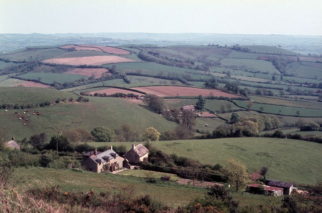
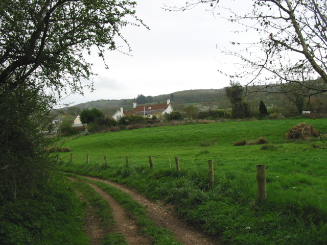
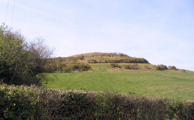
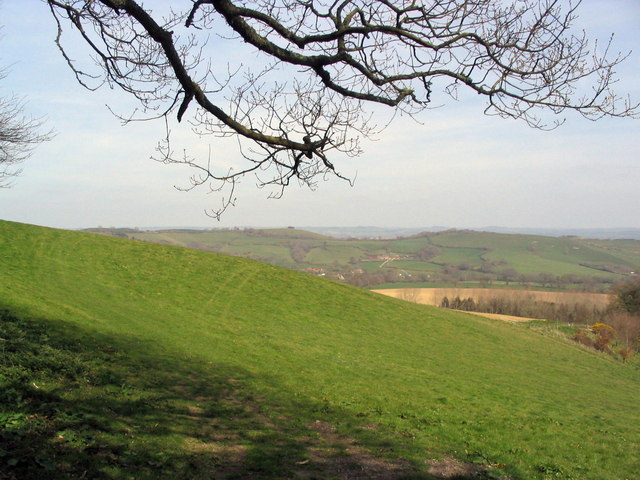
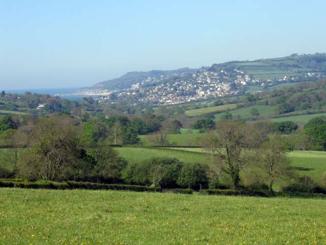
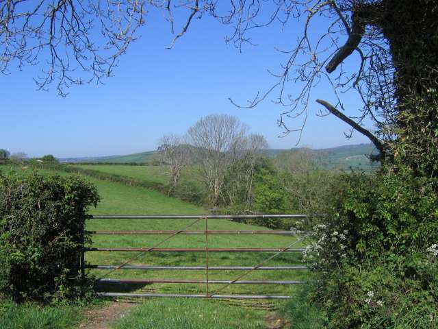
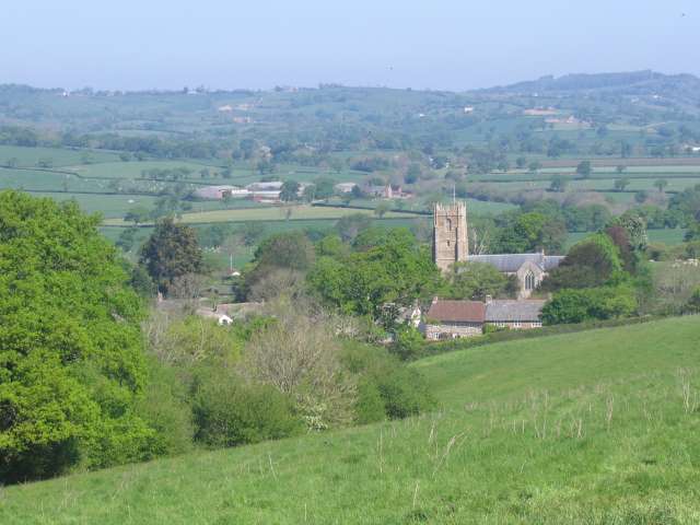
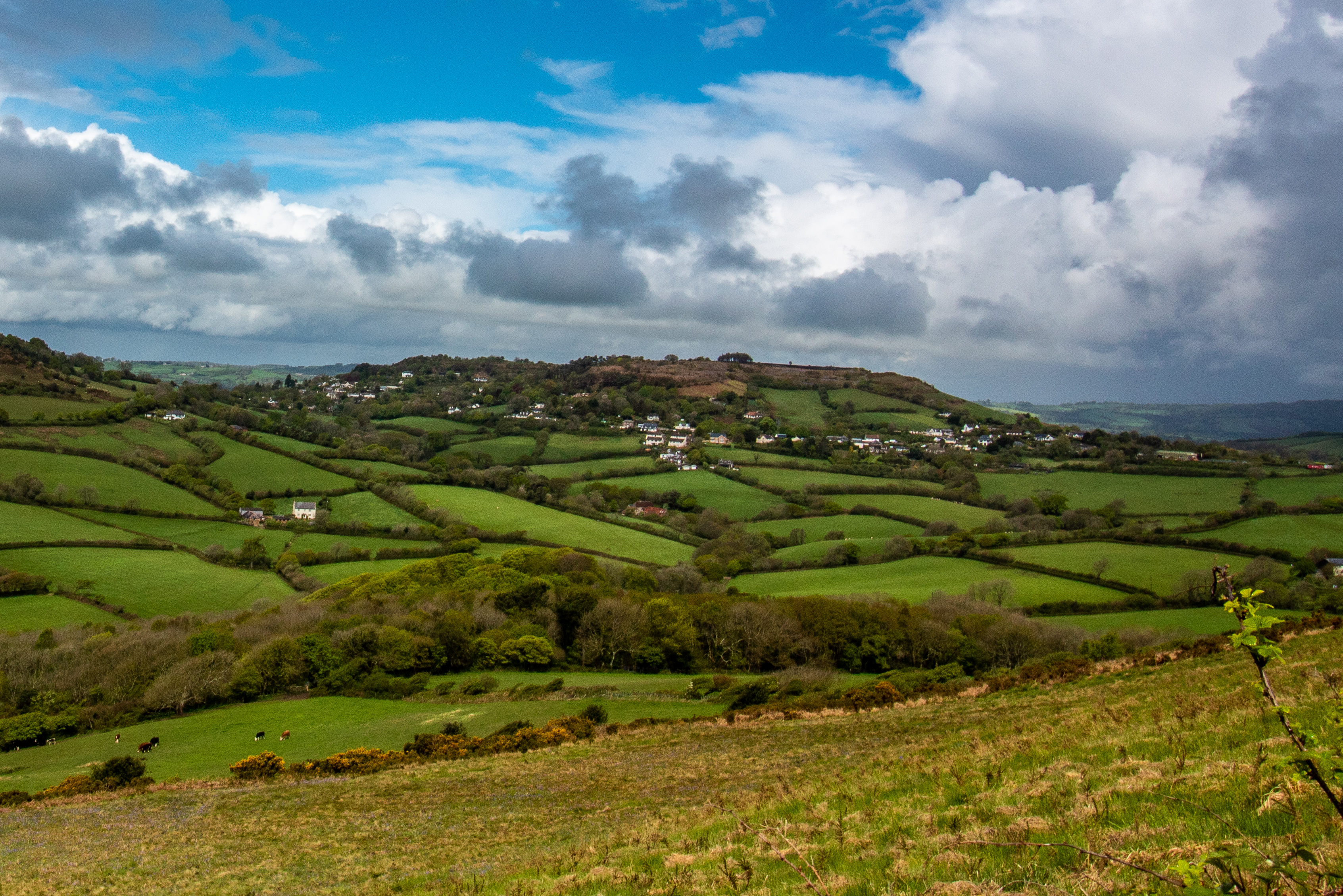
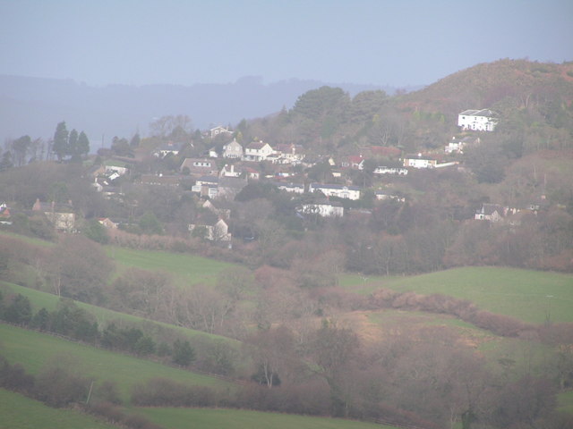
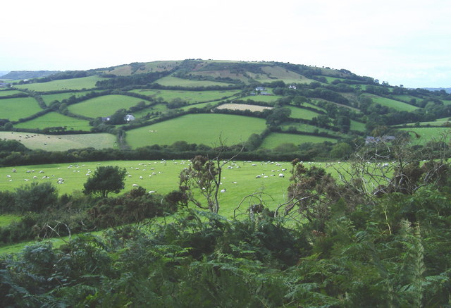
Church Coppice is a picturesque woodland located in the county of Dorset, England. Situated near the village of Church Coppice, the forest covers an area of approximately 100 acres and is a popular destination for nature lovers and outdoor enthusiasts.
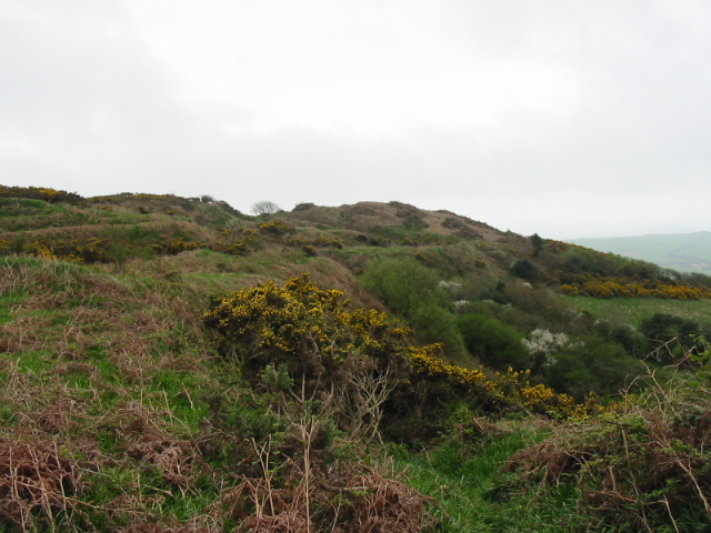
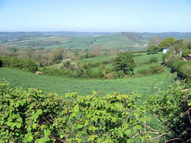
The woodland is characterized by its dense canopy of trees, which mainly consists of oak, beech, and ash. These towering trees create a serene and tranquil atmosphere, making it an ideal place for those seeking solitude and a connection with nature. The forest floor is covered with a diverse range of flora, including bluebells, wild garlic, and ferns, adding to the enchanting beauty of the wood.
Church Coppice is home to a variety of wildlife species, ranging from small mammals like squirrels and rabbits to larger animals such as deer and foxes. Birdwatchers can also spot a range of avian species, including woodpeckers, owls, and various songbirds.
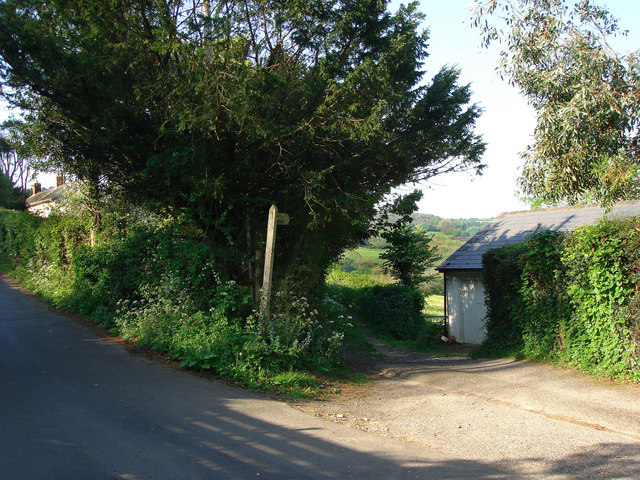
The woodland provides several walking trails, allowing visitors to explore its natural wonders at their own pace. These paths are well-maintained and provide easy access to the different areas of the forest. Additionally, there is a small picnic area near the entrance of the woodland, offering visitors an opportunity to relax and enjoy a meal amidst the serene surroundings.
Overall, Church Coppice in Dorset is a charming and idyllic woodland, offering visitors a chance to escape the hustle and bustle of daily life and immerse themselves in the beauty of nature.
If you have any feedback on the listing, please let us know in the comments section below.
Church Coppice Images
Images are sourced within 2km of 50.757686/-2.8548732 or Grid Reference SY3995. Thanks to Geograph Open Source API. All images are credited.


Church Coppice is located at Grid Ref: SY3995 (Lat: 50.757686, Lng: -2.8548732)
Unitary Authority: Dorset
Police Authority: Dorset
What 3 Words
///weeknight.commander.viewing. Near Charmouth, Dorset
Nearby Locations
Related Wikis

Church of St Candida and Holy Cross
The Church of St Candida and Holy Cross is an Anglican church in Whitchurch Canonicorum, Dorset, England. A Saxon church stood on the site but nothing...

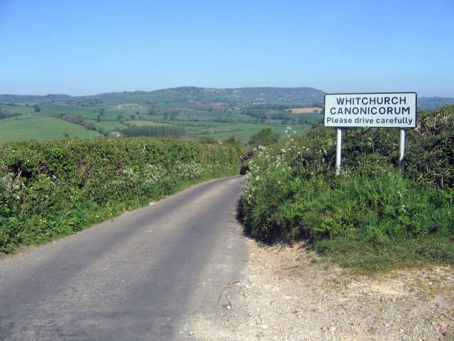
Whitchurch Canonicorum
Whitchurch Canonicorum () is a village and civil parish in southwest Dorset, England, situated in the Marshwood Vale 5 miles (8.0 km) west-northwest of...

Whitchurch Canonicorum Hundred
Whitchurch Canonicorum Hundred or Whitechurch Canonicorum Hundred was a hundred in the county of Dorset, England, containing the following parishes: Burstock...

Ryall, Dorset
Ryall is a small village in the county of Dorset, on the south coast of Great Britain. It is situated roughly midway between the towns of Bridport and...
Hardown Hill
Hardown Hill (207 metres, 679 feet high) is a hill between Ryall and Morcombelake in the county of Dorset, England. It rises west of the South Dorset...
Morcombelake
Morcombelake (also spelled Morecombelake) is a small village near Bridport in Dorset, England, within the ancient parish of Whitchurch Canonicorum. Golden...
Chardown Hill
Chardown Hill is a prominent, rounded hill, 194 metres (636 ft) high, just to the southwest of the village of Morcombelake in the county of Dorset in southern...
Marshwood Castle
Marshwood Castle was a motte-and-bailey castle in Marshwood, Dorset, within the Vale of Marshwood. It was built by William de Mandeville following his...
Nearby Amenities
Located within 500m of 50.757686,-2.8548732Have you been to Church Coppice?
Leave your review of Church Coppice below (or comments, questions and feedback).