Birch Fell Plantation
Wood, Forest in Lancashire South Lakeland
England
Birch Fell Plantation
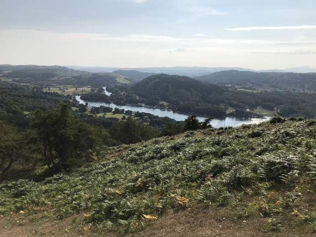
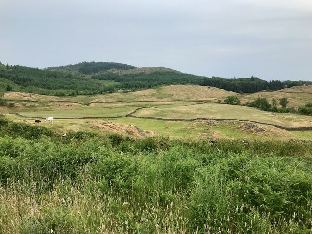
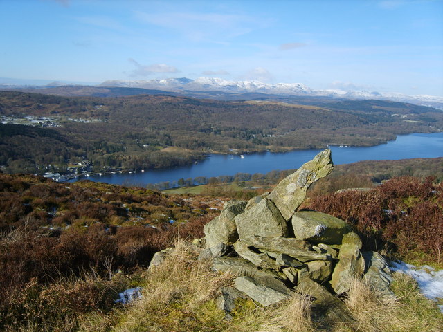
Birch Fell Plantation is a picturesque woodland located in Lancashire, England. Covering an expansive area, it is known for its dense population of birch trees, which dominate the landscape and give the plantation its name. The plantation is a popular destination for nature enthusiasts, hikers, and photographers due to its stunning beauty and tranquil atmosphere.
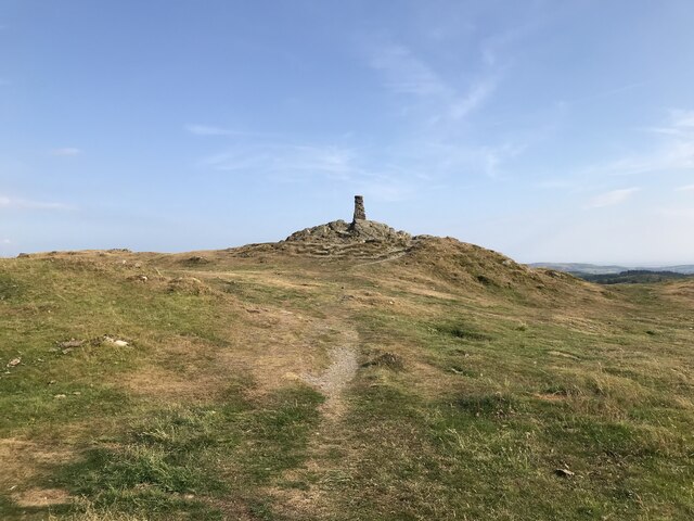
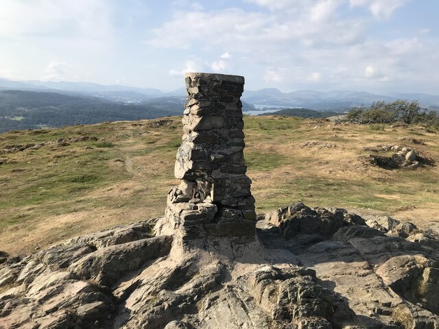
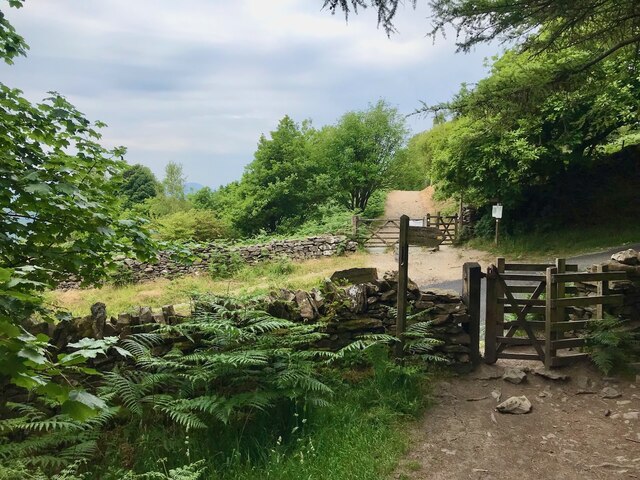
The woodland is situated in a hilly region, boasting a variety of terrain that ranges from gentle slopes to steep inclines. This topography adds to the charm of Birch Fell Plantation, providing visitors with diverse walking trails and breathtaking viewpoints. The forest floor is carpeted with a rich layer of moss and lush undergrowth, creating an enchanting atmosphere as one meanders through the woodland.
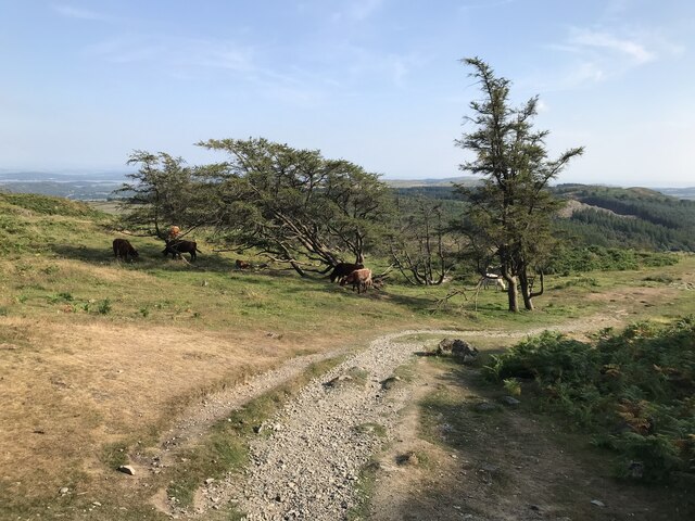
Birch Fell Plantation is also home to a diverse array of wildlife. The dense cover of birch trees provides habitat for numerous bird species, such as woodpeckers, owls, and songbirds. Visitors may also spot small mammals like squirrels, foxes, and rabbits scurrying amidst the underbrush. The plantation is a haven for nature lovers, offering ample opportunities for birdwatching and wildlife photography.
The woodland is well-maintained, with clearly marked trails and designated picnic areas. Visitors can enjoy a leisurely stroll or embark on a more challenging hike, immersing themselves in the natural beauty of the surroundings. Whether it is the vibrant colors of autumn, the delicate blossoms of spring, or the serenity of a winter's day, Birch Fell Plantation provides a captivating experience throughout the year.
If you have any feedback on the listing, please let us know in the comments section below.
Birch Fell Plantation Images
Images are sourced within 2km of 54.291808/-2.9264185 or Grid Reference SD3988. Thanks to Geograph Open Source API. All images are credited.


Birch Fell Plantation is located at Grid Ref: SD3988 (Lat: 54.291808, Lng: -2.9264185)
Administrative County: Cumbria
District: South Lakeland
Police Authority: Cumbria
What 3 Words
///evenings.stilted.pinging. Near Windermere, Cumbria
Nearby Locations
Related Wikis

Heights Tarn
Heights Tarn is a small lake to the east of Windermere and north of Simpson Ground Reservoir, near Cartmel Fell, in the Lake District of Cumbria, England...
Gummer's How
Gummer's How is a hill in the southern part of the Lake District, on the eastern shore of Windermere, near its southern end. How, derived from the Old...
Bowland Bridge
Bowland Bridge is a village in Cumbria, England. == See also == == External links == Media related to Bowland Bridge at Wikimedia Commons

St Anthony's Church, Cartmel Fell
St Anthony's Church, is in the village of Cartmel Fell, Cumbria, England. It is an active Anglican parish church in the deanery of Kendal, the archdeaconry...
Staveley Fell
Staveley Fell is an upland area in the English Lake District, near (and named for) Staveley-in-Cartmel (not to be confused with Staveley-in-Westmorland...
Cartmel Fell
Cartmel Fell is a hamlet and a civil parish in the South Lakeland district of Cumbria, England. In the 2001 census the parish had a population of 309,...
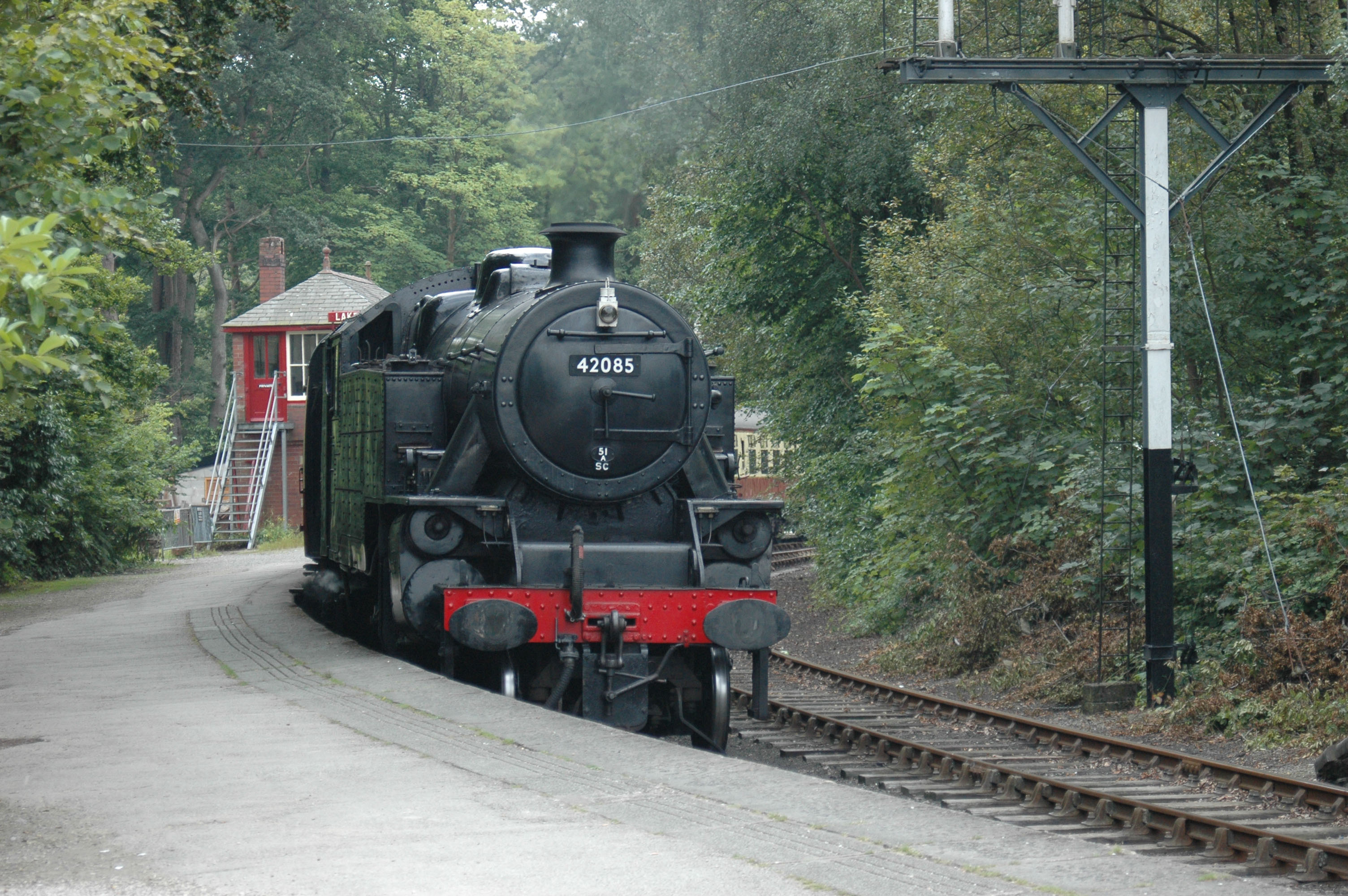
Lakeside railway station (England)
Lakeside railway station is on the heritage Lakeside and Haverthwaite Railway in England. It was previously the terminus of the Furness Railway Ulverston...

Lakes Aquarium
The Lakes Aquarium is an aquarium in the village of Lakeside on the southern shore of Windermere, Cumbria, England. It is one of the docking points of...
Nearby Amenities
Located within 500m of 54.291808,-2.9264185Have you been to Birch Fell Plantation?
Leave your review of Birch Fell Plantation below (or comments, questions and feedback).