Codsall

Settlement in Staffordshire South Staffordshire

England

Codsall

Barns at Leper House Farm Typical red brick outbuildings. The farm name suggests the site of a leper hospital associated with the nearby sulphurous Leper Well on Whitehouse Lane.
Barns at Leper House Farm Credit: John M

Codsall is a small village located in the South Staffordshire district of Staffordshire, England. It lies approximately 5 miles northwest of Wolverhampton and 10 miles southwest of Stafford, making it a desirable location for commuters. Codsall has a population of around 9,000 residents.

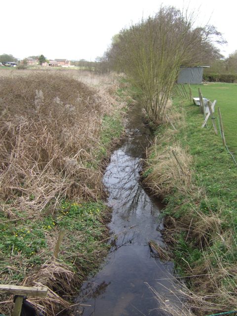
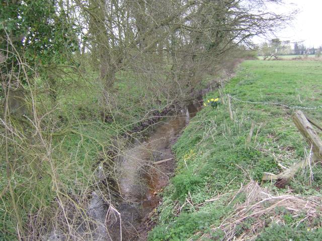
The village is known for its picturesque surroundings and charming rural atmosphere. It is surrounded by rolling countryside, farmland, and woodlands, offering a tranquil environment for its residents. Codsall is also home to a number of historical buildings, including St. Nicholas Church, which dates back to the 12th century.

The village has a range of amenities, including several local shops, pubs, and restaurants, providing residents with easy access to everyday necessities. Codsall also benefits from good transportation links, with a railway station connecting it to major cities like Wolverhampton, Birmingham, and Shrewsbury.

Education in Codsall is well-served, with several primary schools and a secondary school providing quality education to local children. The village is also home to a few recreational facilities, including sports clubs and playgrounds, ensuring residents have opportunities for leisure activities.

Codsall offers a close-knit community feel, with various community events and activities taking place throughout the year. The village also benefits from its proximity to the scenic Staffordshire countryside, with opportunities for outdoor pursuits such as hiking, cycling, and horse riding.

Overall, Codsall is a charming village that combines the tranquility of rural living with the convenience of nearby towns and cities, making it an attractive place to reside.

If you have any feedback on the listing, please let us know in the comments section below.
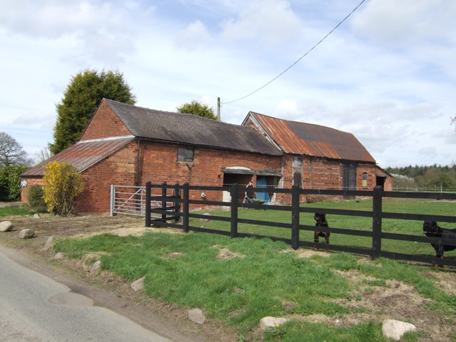
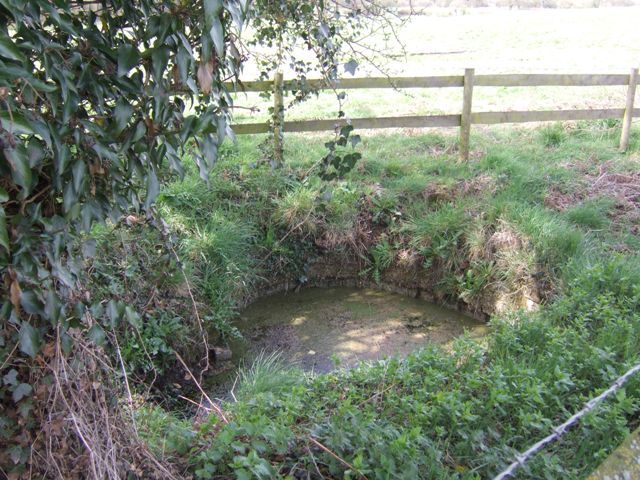
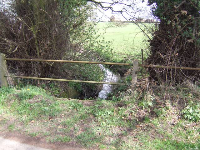
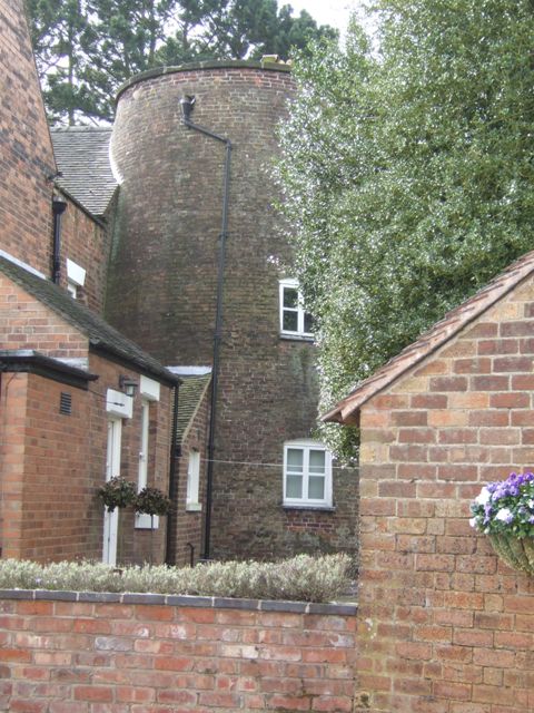
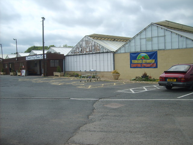
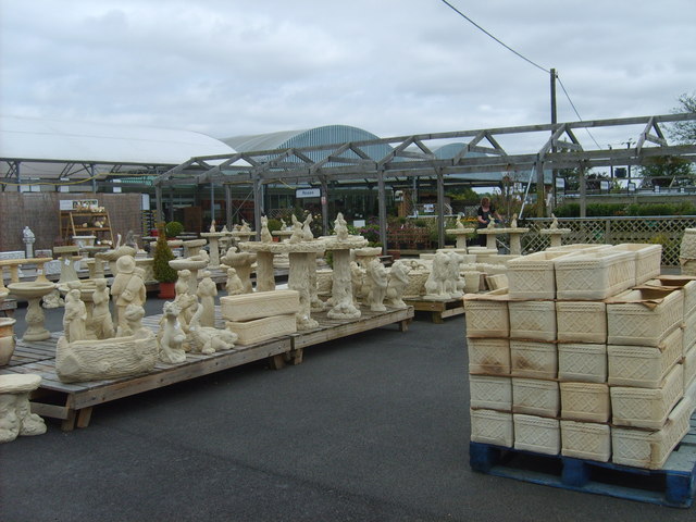
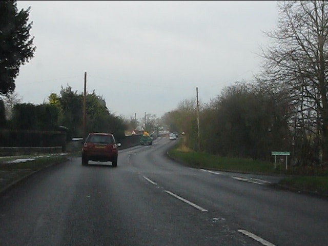
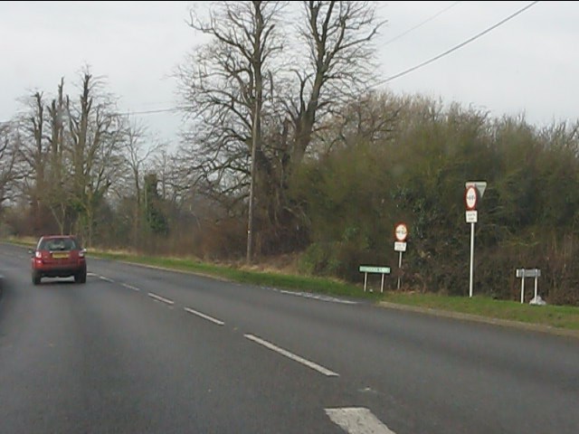
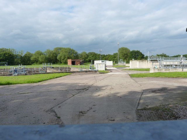
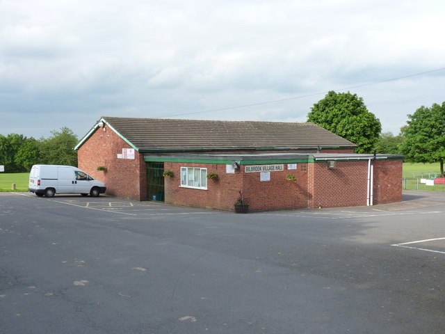
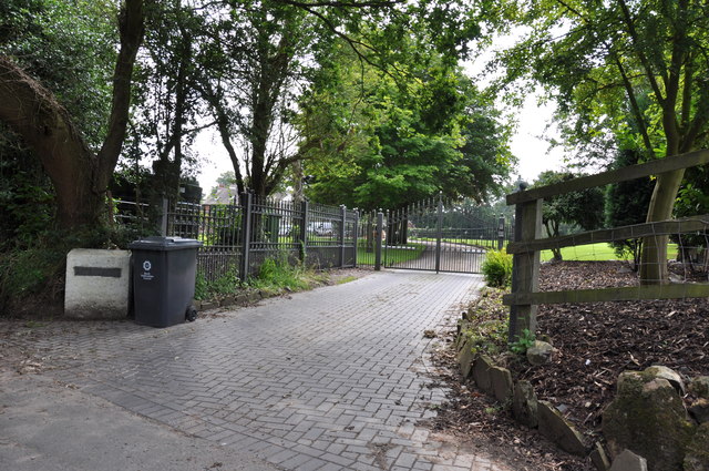
Codsall Images

Images are sourced within 2km of 52.630498/-2.20098 or Grid Reference SJ8603. Thanks to Geograph Open Source API. All images are credited.

Barns at Leper House Farm Typical red brick outbuildings. The farm name suggests the site of a leper hospital associated with the nearby sulphurous Leper Well on Whitehouse Lane.
Barns at Leper House Farm
Typical red brick outbuildings. The farm name suggests the site of a leper hospital associated with the nearby sulphurous Leper Well on Whitehouse Lane.
Lepers Well Ancient sulphurous well beside Whitehouse Lane. The well is Grade 2 listed.
Lepers Well
Ancient sulphurous well beside Whitehouse Lane. The well is Grade 2 listed.
Tributary of the Moat Brook Viewed upstream at Whitehouse Lane. The brook is fed from the Big Pool at Chillington Hall.
Tributary of the Moat Brook
Viewed upstream at Whitehouse Lane. The brook is fed from the Big Pool at Chillington Hall.
Codsall Mill The tower mill has been incorporated into Millfield House. Originally an 18th century mill with four sails, boat cap, weathervane and tailpole. Had ceased use by the 1880s.
Codsall Mill
The tower mill has been incorporated into Millfield House. Originally an 18th century mill with four sails, boat cap, weathervane and tailpole. Had ceased use by the 1880s.
Moat Brook downstream of Codsall footbridge The Moat Brook flows around the north side of Codsall and is a tributary of the River Penk.
Moat Brook downstream of Codsall footbridge
The Moat Brook flows around the north side of Codsall and is a tributary of the River Penk.
Moat Brook upstream of  Codsall footbridge The Moat Brook flows around the north side of Codsall and is a tributary of the River Penk.
Moat Brook upstream of Codsall footbridge
The Moat Brook flows around the north side of Codsall and is a tributary of the River Penk.
Sewer Vent Pipe Victorian stench pipe in Mill Lane.
Sewer Vent Pipe
Victorian stench pipe in Mill Lane.
Tents for Sale The view in Codsall and Wergs Garden Centre.
Tents for Sale
The view in Codsall and Wergs Garden Centre.
Codsall and Wergs Garden Centre.
Garden Figures The view in Codsall and Wergs Garden Centre.
Garden Figures
The view in Codsall and Wergs Garden Centre.
Rainy Wergs Hall Lane The view down the Codsall to Wergs Lane.
Rainy Wergs Hall Lane
The view down the Codsall to Wergs Lane.
On the Holyhead Road The A41 out in open country, having left the West Midlands conurbation behind at Wergs.
On the Holyhead Road
The A41 out in open country, having left the West Midlands conurbation behind at Wergs.
A41 at Stafford Lane junction
A41 at Middle Lane junction
Bilbrook water treatment works Or sewage works, if you prefer the older term!
Bilbrook water treatment works
Or sewage works, if you prefer the older term!
Bilbrook village hall On the outskirts of Bilbrook, and adjacent to the playing fields.
Bilbrook village hall
On the outskirts of Bilbrook, and adjacent to the playing fields.
M54 east just south of The Pool Power lines crossing road can be seen in the distance
M54 east just south of The Pool
Power lines crossing road can be seen in the distance
Entrance to "The Cottage"  in Whitehouse Lane
Entrance to "The Cottage" in Whitehouse Lane
Show me another place!

Codsall is located at Grid Ref: SJ8603 (Lat: 52.630498, Lng: -2.20098)

Administrative County: Staffordshire

District: South Staffordshire

Police Authority: Staffordshire

What 3 Words

///mash.branded.skill. Near Codsall, Staffordshire

Nearby Locations

Codsall Codsall

Related Wikis

Codsall railway station

Codsall railway station serves the village of Codsall in Staffordshire, England. == History == The original listed GWR footbridge, between the two platforms...

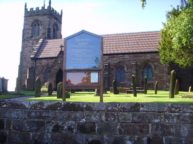
St Nicholas' Church, Codsall

St Nicholas’ Church, Codsall is a Grade II* listed parish church in the Church of England in Codsall == History == The doorway is Norman. The west tower...

Codsall

Codsall is a large village in the South Staffordshire district of Staffordshire, England. It is situated 5 miles northwest of Wolverhampton and 13 miles...

South Staffordshire

South Staffordshire is a local government district in Staffordshire, England. Its council is based in Codsall. Other notable settlements include Great...

Nearby Amenities

Located within 500m of 52.630498,-2.20098
Railway: switch
Lat/Long: 52.6267641/-2.1990013
Mini Roundabout
Direction: clockwise
Lat/Long: 52.6270049/-2.2027371
Crossing
Crossing: uncontrolled
Crossing Island: no
Crossing Markings: zebra
Tactile Paving: yes
Lat/Long: 52.6310784/-2.2001696
Crossing
Crossing: marked
Crossing Markings: zebra
Crossing Ref: zebra
Source: Bing
Lat/Long: 52.6308267/-2.1992838
Mini Roundabout
Direction: clockwise
Lat/Long: 52.6302162/-2.1987315
Turning Circle
Lat/Long: 52.6312848/-2.2072913
Turning Circle
Lat/Long: 52.6307059/-2.2073391
Bus Stop
Railway Station
Bus: yes
Naptan AtcoCode: 3800C601400
Naptan Bearing: NE
Naptan CommonName: Railway Station
Naptan Indicator: Opp
Naptan Landmark: Railway Station
Naptan Street: Station Road
Naptan Verified: no
Public Transport: platform
Source: naptan_import
Lat/Long: 52.6277682/-2.2023604
Bus Stop
Railway Station
Bus: yes
Naptan AtcoCode: 3800C601401
Naptan Bearing: SW
Naptan CommonName: Railway Station
Naptan Indicator: Adj
Naptan Landmark: Railway Station
Naptan Street: Station Road
Naptan Verified: no
Public Transport: platform
Source: naptan_import
Lat/Long: 52.627739/-2.2021817
Bus Stop
Church Road
Bus: yes
Naptan AtcoCode: 3800C610700
Naptan Bearing: W
Naptan CommonName: Church Road
Naptan Indicator: Opp
Naptan Landmark: Church Road
Naptan Street: Bakers Way
Naptan Verified: no
Public Transport: platform
Source: naptan_import
Lat/Long: 52.6310428/-2.2010458
Bus Stop
Church Road
Bus: yes
Naptan AtcoCode: 3800C610701
Naptan Bearing: E
Naptan CommonName: Church Road
Naptan Indicator: Adj
Naptan Landmark: Church Road
Naptan Street: Bakers Way
Naptan Verified: no
Public Transport: platform
Source: naptan_import
Lat/Long: 52.6311776/-2.2011055
Bus Stop
Wheel Avenue
Bus: yes
Naptan AtcoCode: 3800C630101
Naptan Bearing: SE
Naptan CommonName: Wheel Avenue
Naptan Indicator: Opp
Naptan Landmark: Wheel Avenue
Naptan Street: Wolverhampton Road
Naptan Verified: no
Public Transport: platform
Source: naptan_import
Lat/Long: 52.6289196/-2.1966037
Bus Stop
Wheel Avenue
Bus: yes
Naptan AtcoCode: 3800C630102
Naptan Bearing: NW
Naptan CommonName: Wheel Avenue
Naptan Indicator: Adj
Naptan Landmark: Wheel Avenue
Naptan Street: Wolverhampton Road
Naptan Verified: no
Public Transport: platform
Source: naptan_import
Lat/Long: 52.6292869/-2.1973736
Parking
Lat/Long: 52.6307604/-2.1998391
Parking
Lat/Long: 52.6306172/-2.1993992
Turning Circle
Source: bing
Lat/Long: 52.6296611/-2.2026732
Atm
Link ATM
Description: Outside co-op
Lat/Long: 52.630237/-2.2029523
Maxheight: 3.88
Note: sign reads 12'9"
Source: survey
Lat/Long: 52.6275566/-2.2024267
Crossing
Crossing: traffic_signals
Crossing Island: no
Tactile Paving: yes
Lat/Long: 52.6310909/-2.2013029
Public Transport: stop_position
Lat/Long: 52.6311085/-2.2010876
Power: substation
Source: survey
Lat/Long: 52.6276981/-2.2024743
The Lone Singer
Artwork Type: statue
Source: survey
Tourism: artwork
Lat/Long: 52.6309581/-2.2010074
War Memorial
Historic: memorial
Source: survey
Lat/Long: 52.6278004/-2.2021229
Grit Bin
Source: survey
Lat/Long: 52.6310233/-2.2007578
Barrier: bollard
Lat/Long: 52.6310726/-2.2006668
Man Made: surveillance
Source: survey
Lat/Long: 52.6314391/-2.2009054
Post Box
Lat/Long: 52.6268978/-2.2027456
Barrier: kissing_gate
Lat/Long: 52.626774/-2.203343
The Ace Of Vapez
Shop: e-cigarette
Lat/Long: 52.6298547/-2.2009992
Compton Hospice
Shop: charity
Lat/Long: 52.6298253/-2.2016375
Nnews Express
Shop: newsagent
Lat/Long: 52.629809/-2.201026
Co-op Funeralcare
Shop: funeral_directors
Lat/Long: 52.6301444/-2.2014897
The Co-operative Food
Brand: The Co-operative Food
Brand Wikidata: Q107617274
Shop: convenience
Lat/Long: 52.6301005/-2.2015112
Co-Op Travel
Brand: Your Coop Travel
Brand Wikidata: Q7726526
Operator: Midcounties Co-operative
Operator Wikidata: Q6841138
Shop: travel_agency
Website: https://www.cooptravel.co.uk/contact/branches-experts/codsall/
Lat/Long: 52.6301785/-2.2014763
Fast Food
Greggs
Addr Country: GB
Addr Housenumber: 18
Addr Postcode: WV8 1BX
Addr Street: Station Road
Brand: Greggs
Brand Wikidata: Q3403981
Brand Wikipedia: en:Greggs
Contact Website: https://www.greggs.co.uk/shop-finder?shop-code=0486
Cuisine: sandwich;bakery
Fhrs Id: 1257896
Takeaway: yes
Lat/Long: 52.6299572/-2.2015705
Cafe
Village Coffee Bakery Kitchen
Lat/Long: 52.6300191/-2.2015514
Post Office
Codsall Post Office
Addr City: Wolverhampton
Addr Housenumber: 14
Addr Place: Codsall
Addr Postcode: WV8 1BX
Addr Street: Station Road
Brand: Post Office
Brand Wikidata: Q1783168
Opening Hours: Mo-Sa 09:00-17:30
Ref Pol Id: 4246
Website: https://www.postoffice.co.uk/branch-finder/1672460/codsall
Lat/Long: 52.6302177/-2.2014659
Blunts
Shop: shoes
Lat/Long: 52.6297114/-2.2010582
Allan Bennett
Shop: butcher
Lat/Long: 52.6297587/-2.2010448
Kenchez
Shop: hairdresser
Lat/Long: 52.6298661/-2.2016241
Shop: vacant
Lat/Long: 52.6299215/-2.2015893
Restaurant
Codsall Fish Bar
Cuisine: fish_and_chips
Source: survey
Lat/Long: 52.6305775/-2.19987
Railway: switch
Lat/Long: 52.6266401/-2.1982951
Codsall
Naptan AtcoCode: 9100CODSALL
Network: National Rail
Network Website: https://www.nationalrail.co.uk/stations/csl/
Network Wikidata: Q26334
Public Transport: station
Railway: station
Ref Crs: CSL
Wikidata: Q2455479
Wikipedia: en:Codsall railway station
Lat/Long: 52.6274199/-2.2016755
Parking Entrance
Access: yes
Lat/Long: 52.6263101/-2.2000304
serendipity
Shop: yes
Lat/Long: 52.6268474/-2.2010744
Barrier: kerb
Kerb: flush
Lat/Long: 52.6311141/-2.2001571
Barrier: kerb
Kerb: flush
Tactile Paving: yes
Lat/Long: 52.6311264/-2.2013144
Barrier: kerb
Kerb: flush
Tactile Paving: yes
Lat/Long: 52.6310551/-2.2012947
Bench
Lat/Long: 52.6308061/-2.2008424
Bench
Lat/Long: 52.630861/-2.200945
Bench
Lat/Long: 52.6309175/-2.2010898
Bench
Lat/Long: 52.6278631/-2.2020058
Bench
Lat/Long: 52.6277247/-2.2020501
Waste Basket
Lat/Long: 52.6265769/-2.2022722
Welcome to Codsall
Historic: monument
Inscription: Welcome to Codsall
Lat/Long: 52.6300899/-2.1987205
Grit Bin
Lat/Long: 52.6274943/-2.2023773
Bench
Lat/Long: 52.6300086/-2.2011034
Bench
Lat/Long: 52.629365/-2.1994561
Bench
Lat/Long: 52.6289512/-2.1983151
Bench
Lat/Long: 52.6297179/-2.1991846
Bench
Lat/Long: 52.6289726/-2.1984041
Waste Basket
Lat/Long: 52.6268677/-2.2030209
Atm
Lat/Long: 52.6301934/-2.2013856
Leisure: garden
Lat/Long: 52.6266533/-2.2008097
Generator Method: photovoltaic
Generator Output Electricity: yes
Generator Source: solar
Generator Type: solar_photovoltaic_panel
Location: roof
Power: generator
Lat/Long: 52.6268602/-2.1978745
Generator Method: photovoltaic
Generator Output Electricity: yes
Generator Source: solar
Generator Type: solar_photovoltaic_panel
Location: roof
Power: generator
Lat/Long: 52.6306568/-2.205905
Generator Method: photovoltaic
Generator Output Electricity: yes
Generator Source: solar
Generator Type: solar_photovoltaic_panel
Location: roof
Power: generator
Lat/Long: 52.6316775/-2.1954122
Generator Method: photovoltaic
Generator Output Electricity: yes
Generator Source: solar
Generator Type: solar_photovoltaic_panel
Location: roof
Power: generator
Lat/Long: 52.6316955/-2.1963993
Generator Method: photovoltaic
Generator Output Electricity: yes
Generator Source: solar
Generator Type: solar_photovoltaic_panel
Location: roof
Power: generator
Lat/Long: 52.632008/-2.1963027
Generator Method: photovoltaic
Generator Output Electricity: yes
Generator Source: solar
Generator Type: solar_photovoltaic_panel
Location: roof
Power: generator
Lat/Long: 52.6263976/-2.201358
Charging Station
Lat/Long: 52.6301573/-2.2032641
Charging Station
Lat/Long: 52.6301337/-2.2032765
Waste Basket
Lat/Long: 52.6270333/-2.2024494
Telephone
Booth: K6
Covered: booth
Operator: BT
Operator Wikidata: Q593786
Phone: +44 1902 842790
Lat/Long: 52.6318692/-2.2071225
Barrier: kerb
Kerb: flush
Lat/Long: 52.631041/-2.2001829
The data included in this document is from www.openstreetmap.org. The data is made available under ODbL.

Have you been to Codsall?

Leave your review of Codsall below (or comments, questions and feedback).