Codsall

Civil Parish in Staffordshire South Staffordshire

England

Codsall

Barns at Leper House Farm Typical red brick outbuildings. The farm name suggests the site of a leper hospital associated with the nearby sulphurous Leper Well on Whitehouse Lane.
Barns at Leper House Farm Credit: John M

Codsall is a civil parish located in the county of Staffordshire, England. Situated approximately 6 miles northeast of the bustling city of Wolverhampton, it falls within the South Staffordshire district. The parish is home to a population of around 9,000 residents, living in a mix of rural and suburban areas.

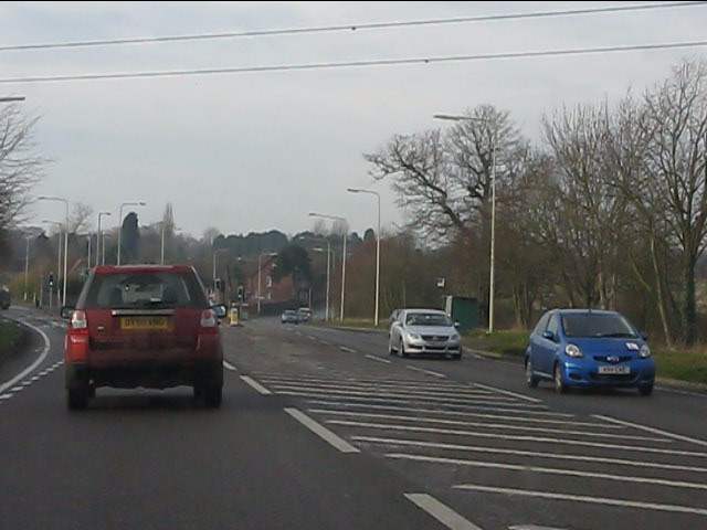
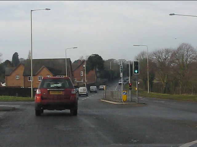
Codsall is known for its picturesque countryside, with rolling hills, open fields, and charming villages. It offers a peaceful and tranquil environment, attracting those seeking a quieter lifestyle while still being within easy reach of urban amenities. The village itself has a quaint and traditional feel, with a range of shops, pubs, and local services catering to the needs of the community.

The area is also well-connected, with Codsall railway station providing regular train services to Wolverhampton, Birmingham, and beyond. This makes it an attractive location for commuters looking for a balance between rural living and access to larger employment centers.

Codsall is also rich in history, with notable landmarks such as Codsall Wood, a designated Site of Special Scientific Interest, and Codsall Station, a beautifully preserved Victorian railway station. The parish is also home to several churches, including the historic St. Nicholas Church, which dates back to the 12th century.

Overall, Codsall offers a charming and peaceful setting, combined with excellent transport links and a strong sense of community, making it an attractive place to live for those seeking a rural lifestyle within easy reach of urban conveniences.

If you have any feedback on the listing, please let us know in the comments section below.
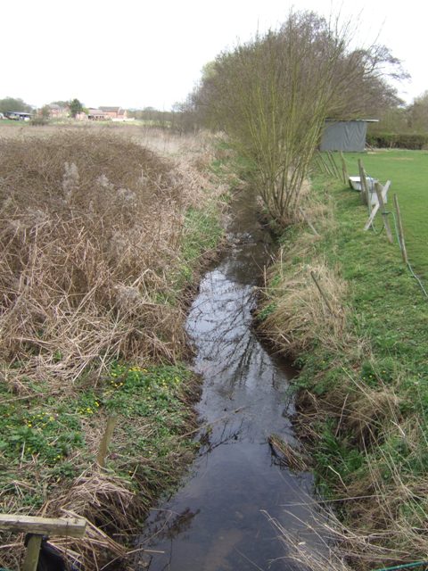
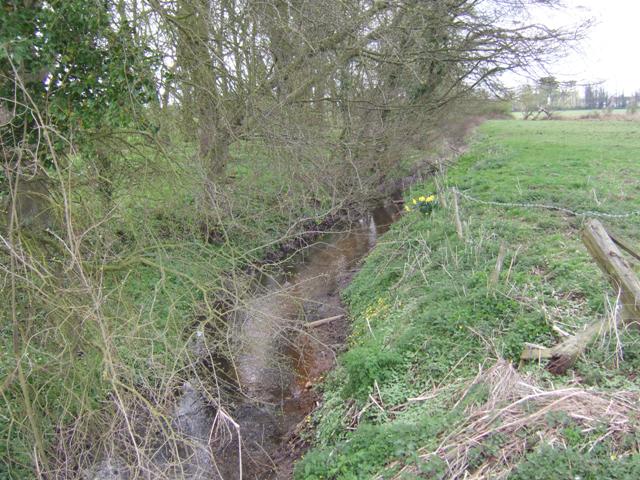
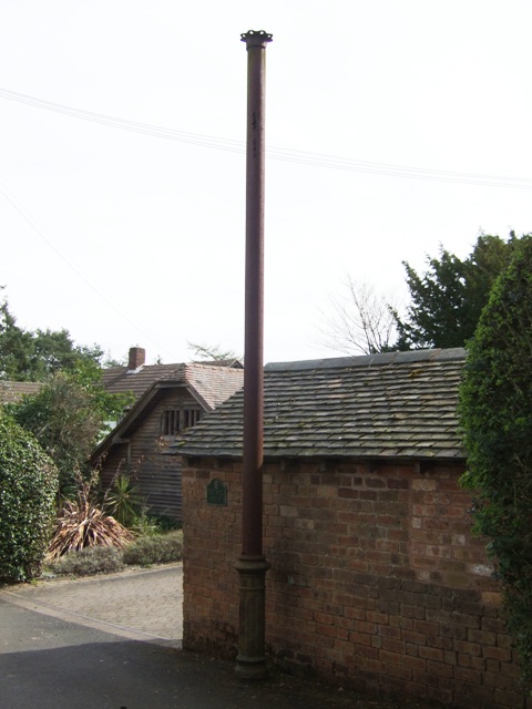
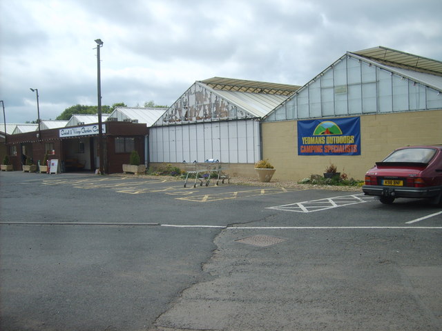
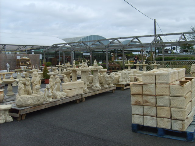
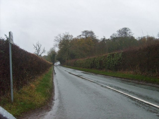
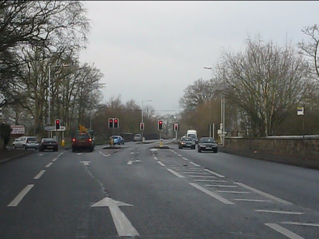
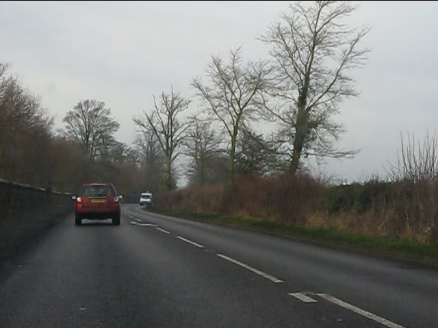
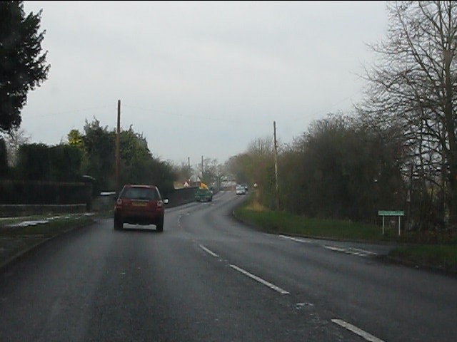
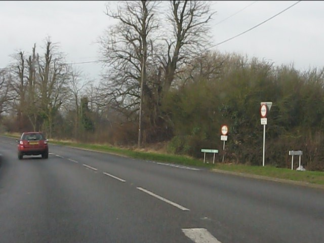
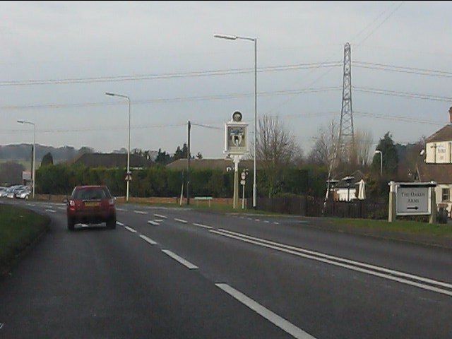
Codsall Images

Images are sourced within 2km of 52.628365/-2.207766 or Grid Reference SJ8603. Thanks to Geograph Open Source API. All images are credited.

Barns at Leper House Farm Typical red brick outbuildings. The farm name suggests the site of a leper hospital associated with the nearby sulphurous Leper Well on Whitehouse Lane.
Barns at Leper House Farm
Typical red brick outbuildings. The farm name suggests the site of a leper hospital associated with the nearby sulphurous Leper Well on Whitehouse Lane.
Lepers Well Ancient sulphurous well beside Whitehouse Lane. The well is Grade 2 listed.
Lepers Well
Ancient sulphurous well beside Whitehouse Lane. The well is Grade 2 listed.
Tributary of the Moat Brook Viewed upstream at Whitehouse Lane. The brook is fed from the Big Pool at Chillington Hall.
Tributary of the Moat Brook
Viewed upstream at Whitehouse Lane. The brook is fed from the Big Pool at Chillington Hall.
Codsall Mill The tower mill has been incorporated into Millfield House. Originally an 18th century mill with four sails, boat cap, weathervane and tailpole. Had ceased use by the 1880s.
Codsall Mill
The tower mill has been incorporated into Millfield House. Originally an 18th century mill with four sails, boat cap, weathervane and tailpole. Had ceased use by the 1880s.
Moat Brook downstream of Codsall footbridge The Moat Brook flows around the north side of Codsall and is a tributary of the River Penk.
Moat Brook downstream of Codsall footbridge
The Moat Brook flows around the north side of Codsall and is a tributary of the River Penk.
Moat Brook upstream of  Codsall footbridge The Moat Brook flows around the north side of Codsall and is a tributary of the River Penk.
Moat Brook upstream of Codsall footbridge
The Moat Brook flows around the north side of Codsall and is a tributary of the River Penk.
Sewer Vent Pipe Victorian stench pipe in Mill Lane.
Sewer Vent Pipe
Victorian stench pipe in Mill Lane.
Tents for Sale The view in Codsall and Wergs Garden Centre.
Tents for Sale
The view in Codsall and Wergs Garden Centre.
Codsall and Wergs Garden Centre.
Garden Figures The view in Codsall and Wergs Garden Centre.
Garden Figures
The view in Codsall and Wergs Garden Centre.
Rainy Wergs Hall Lane The view down the Codsall to Wergs Lane.
Rainy Wergs Hall Lane
The view down the Codsall to Wergs Lane.
A41 - Wrottesley Park traffic lights
On the Holyhead Road The A41 out in open country, having left the West Midlands conurbation behind at Wergs.
On the Holyhead Road
The A41 out in open country, having left the West Midlands conurbation behind at Wergs.
A41 at Stafford Lane junction
A41 at Middle Lane junction
A41 at Oaken
A41 at Oaken
A41/A461 junction, Oaken The historic bases of both routes is easily discernible.  The A461 is named Holyhead Road, the A41 Newport Road.
A41/A461 junction, Oaken
The historic bases of both routes is easily discernible. The A461 is named Holyhead Road, the A41 Newport Road.
Newport Road (A41) from the traffic lights
Show me another place!

Codsall is located at Grid Ref: SJ8603 (Lat: 52.628365, Lng: -2.207766)

Administrative County: Staffordshire

District: South Staffordshire

Police Authority: Staffordshire

What 3 Words

///rather.most.force. Near Codsall, Staffordshire

Nearby Locations

Codsall Codsall

Related Wikis

Codsall railway station

Codsall railway station serves the village of Codsall in Staffordshire, England. == History == The original listed GWR footbridge, between the two platforms...

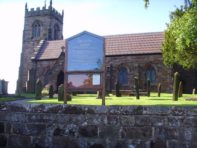
St Nicholas' Church, Codsall

St Nicholas’ Church, Codsall is a Grade II* listed parish church in the Church of England in Codsall == History == The doorway is Norman. The west tower...

Codsall

Codsall is a large village in the South Staffordshire district of Staffordshire, England. It is situated 5 miles northwest of Wolverhampton and 13 miles...

South Staffordshire

South Staffordshire is a local government district in Staffordshire, England. The district lies to the north and west of the West Midlands county, bordering...

Codsall Community High School

Codsall Community High School is a coeducational upper school and sixth form located in Codsall, Staffordshire, England.It is located in a large village...

Birches Bridge

Birches Bridge is an area of Codsall, Staffordshire. It is situated to the northwest of Wolverhampton between Bilbrook and Codsall. == Name and origins... ==

Bilbrook railway station

Bilbrook railway station is a railway station which serves the village of Bilbrook in Staffordshire, England. It was known as Birches and Bilbrook Halt...

Gunstone

Gunstone is a hamlet in the South Staffordshire district of Staffordshire, England. It is situated north east of the village of Codsall. == Place name... ==

Nearby Amenities

Located within 500m of 52.628365,-2.207766
Mini Roundabout
Direction: clockwise
Lat/Long: 52.6270049/-2.2027371
Turning Circle
Lat/Long: 52.6312848/-2.2072913
Turning Circle
Lat/Long: 52.6307059/-2.2073391
Barrier: stile
Source: survey
Lat/Long: 52.6283506/-2.2137844
Barrier: stile
Source: survey
Lat/Long: 52.6266103/-2.2117229
Barrier: stile
Source: survey
Lat/Long: 52.6252112/-2.2116345
Barrier: kissing_gate
Source: survey
Lat/Long: 52.6249163/-2.2112273
Bus Stop
Railway Station
Bus: yes
Naptan AtcoCode: 3800C601400
Naptan Bearing: NE
Naptan CommonName: Railway Station
Naptan Indicator: Opp
Naptan Landmark: Railway Station
Naptan Street: Station Road
Naptan Verified: no
Public Transport: platform
Source: naptan_import
Lat/Long: 52.6277682/-2.2023604
Bus Stop
Railway Station
Bus: yes
Naptan AtcoCode: 3800C601401
Naptan Bearing: SW
Naptan CommonName: Railway Station
Naptan Indicator: Adj
Naptan Landmark: Railway Station
Naptan Street: Station Road
Naptan Verified: no
Public Transport: platform
Source: naptan_import
Lat/Long: 52.627739/-2.2021817
Turning Circle
Source: bing
Lat/Long: 52.6296611/-2.2026732
Atm
Link ATM
Description: Outside co-op
Lat/Long: 52.630237/-2.2029523
Bench
Source: survey
Lat/Long: 52.6239845/-2.2081682
Barrier: kissing_gate
Source: survey
Lat/Long: 52.6249023/-2.208365
Maxheight: 3.88
Note: sign reads 12'9"
Source: survey
Lat/Long: 52.6275566/-2.2024267
Barrier: stile
Source: survey
Lat/Long: 52.6292437/-2.2147265
Power: substation
Source: survey
Lat/Long: 52.6276981/-2.2024743
War Memorial
Historic: memorial
Source: survey
Lat/Long: 52.6278004/-2.2021229
Post Box
Lat/Long: 52.6268978/-2.2027456
Barrier: kissing_gate
Lat/Long: 52.626774/-2.203343
The Ace Of Vapez
Shop: e-cigarette
Lat/Long: 52.6298547/-2.2009992
Compton Hospice
Shop: charity
Lat/Long: 52.6298253/-2.2016375
Nnews Express
Shop: newsagent
Lat/Long: 52.629809/-2.201026
Co-op Funeralcare
Shop: funeral_directors
Lat/Long: 52.6301444/-2.2014897
The Co-operative Food
Brand: The Co-operative Food
Brand Wikidata: Q107617274
Shop: convenience
Lat/Long: 52.6301005/-2.2015112
Co-Op Travel
Brand: Your Coop Travel
Brand Wikidata: Q7726526
Operator: Midcounties Co-operative
Operator Wikidata: Q6841138
Shop: travel_agency
Website: https://www.cooptravel.co.uk/contact/branches-experts/codsall/
Lat/Long: 52.6301785/-2.2014763
Fast Food
Greggs
Addr Country: GB
Addr Housenumber: 18
Addr Postcode: WV8 1BX
Addr Street: Station Road
Brand: Greggs
Brand Wikidata: Q3403981
Brand Wikipedia: en:Greggs
Contact Website: https://www.greggs.co.uk/shop-finder?shop-code=0486
Cuisine: sandwich;bakery
Fhrs Id: 1257896
Takeaway: yes
Lat/Long: 52.6299572/-2.2015705
Cafe
Village Coffee Bakery Kitchen
Lat/Long: 52.6300191/-2.2015514
Post Office
Codsall Post Office
Addr City: Wolverhampton
Addr Housenumber: 14
Addr Place: Codsall
Addr Postcode: WV8 1BX
Addr Street: Station Road
Brand: Post Office
Brand Wikidata: Q1783168
Opening Hours: Mo-Sa 09:00-17:30
Ref Pol Id: 4246
Website: https://www.postoffice.co.uk/branch-finder/1672460/codsall
Lat/Long: 52.6302177/-2.2014659
Blunts
Shop: shoes
Lat/Long: 52.6297114/-2.2010582
Allan Bennett
Shop: butcher
Lat/Long: 52.6297587/-2.2010448
Kenchez
Shop: hairdresser
Lat/Long: 52.6298661/-2.2016241
Shop: vacant
Lat/Long: 52.6299215/-2.2015893
Codsall
Naptan AtcoCode: 9100CODSALL
Network: National Rail
Network Website: https://www.nationalrail.co.uk/stations/csl/
Network Wikidata: Q26334
Public Transport: station
Railway: station
Ref Crs: CSL
Wikidata: Q2455479
Wikipedia: en:Codsall railway station
Lat/Long: 52.6274199/-2.2016755
serendipity
Shop: yes
Lat/Long: 52.6268474/-2.2010744
Bench
Lat/Long: 52.6278631/-2.2020058
Bench
Lat/Long: 52.6277247/-2.2020501
Waste Basket
Lat/Long: 52.6265769/-2.2022722
Grit Bin
Lat/Long: 52.6274943/-2.2023773
Bench
Lat/Long: 52.6300086/-2.2011034
Waste Basket
Lat/Long: 52.6268677/-2.2030209
Atm
Lat/Long: 52.6301934/-2.2013856
Generator Method: photovoltaic
Generator Output Electricity: yes
Generator Source: solar
Generator Type: solar_photovoltaic_panel
Location: roof
Power: generator
Lat/Long: 52.6260588/-2.2029467
Generator Method: photovoltaic
Generator Output Electricity: yes
Generator Source: solar
Generator Type: solar_photovoltaic_panel
Location: roof
Power: generator
Lat/Long: 52.6306568/-2.205905
Generator Method: photovoltaic
Generator Output Electricity: yes
Generator Source: solar
Generator Type: solar_photovoltaic_panel
Location: roof
Power: generator
Lat/Long: 52.6263976/-2.201358
Charging Station
Lat/Long: 52.6301573/-2.2032641
Charging Station
Lat/Long: 52.6301337/-2.2032765
Waste Basket
Lat/Long: 52.6270333/-2.2024494
Telephone
Booth: K6
Covered: booth
Operator: BT
Operator Wikidata: Q593786
Phone: +44 1902 842790
Lat/Long: 52.6318692/-2.2071225
The data included in this document is from www.openstreetmap.org. The data is made available under ODbL.

Have you been to Codsall?

Leave your review of Codsall below (or comments, questions and feedback).