Codsall Wood

Settlement in Staffordshire South Staffordshire

England

Codsall Wood

Barns at Leper House Farm Typical red brick outbuildings. The farm name suggests the site of a leper hospital associated with the nearby sulphurous Leper Well on Whitehouse Lane.
Barns at Leper House Farm Credit: John M

Codsall Wood is a small village located in the South Staffordshire district of Staffordshire, England. Situated approximately 7 miles northwest of Wolverhampton and 5 miles south of Stafford, it is a rural area known for its picturesque landscapes and tranquil atmosphere.

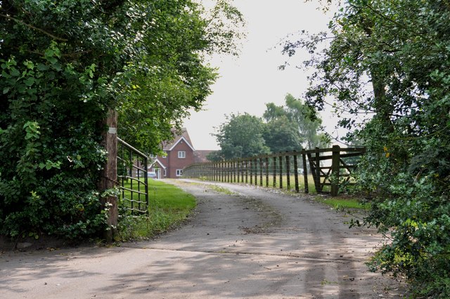
The village is surrounded by woodland and farmland, making it an ideal location for nature enthusiasts and those seeking a peaceful retreat. The nearby Cannock Chase, an Area of Outstanding Natural Beauty, offers opportunities for walking, biking, and wildlife spotting.

Codsall Wood has a close-knit community with a population of around 3,000 residents. The village features a range of amenities, including a primary school, a local shop, and a post office, providing essential services to the local residents. Additionally, there are several traditional pubs and restaurants, offering a variety of dining options.

Transport links in Codsall Wood are well-developed, with regular bus services connecting the village to nearby towns and cities. The village also benefits from good road connections, being close to the A449 and A5, providing easy access to Wolverhampton, Stafford, and other surrounding areas.

Overall, Codsall Wood offers a peaceful and idyllic setting, making it an attractive place to live for those seeking a rural lifestyle while still being within reach of larger towns and cities.

If you have any feedback on the listing, please let us know in the comments section below.
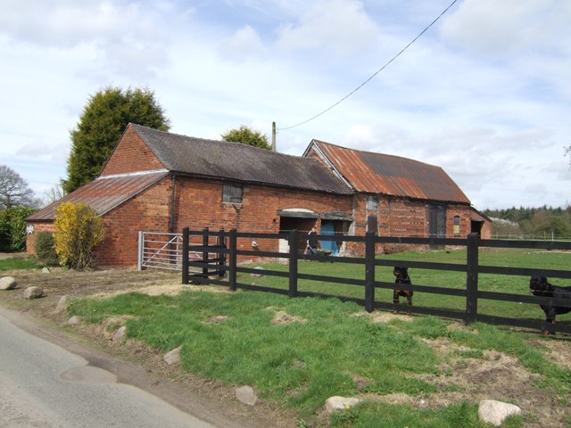
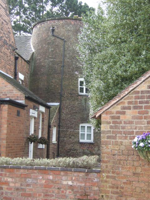
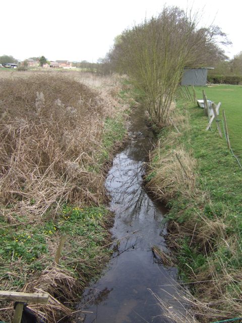
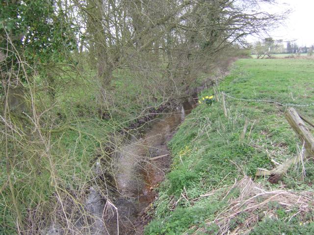
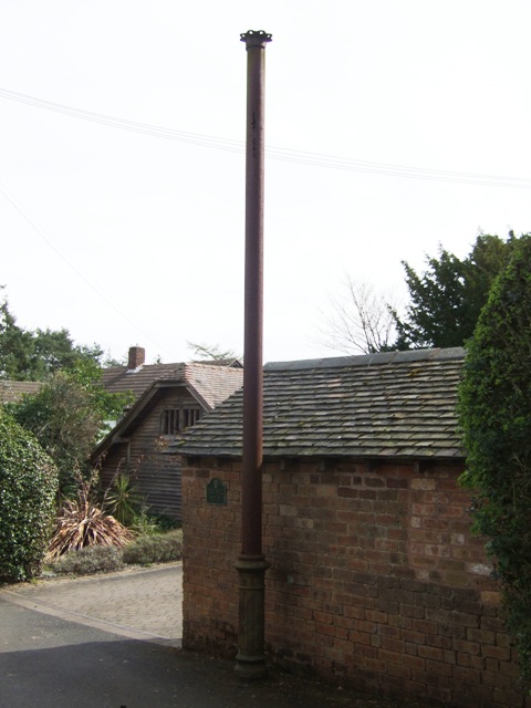
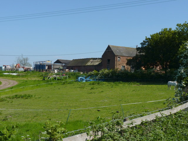
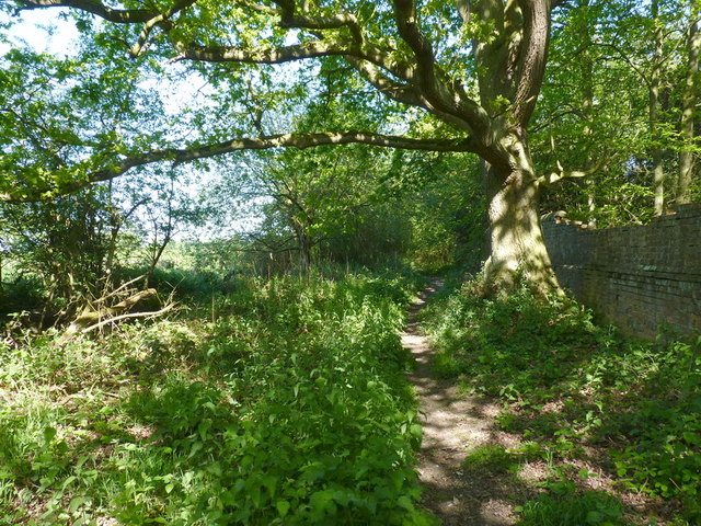
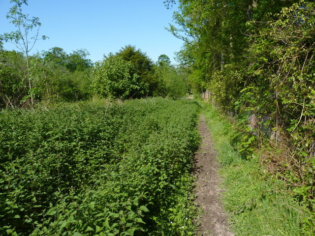
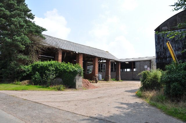
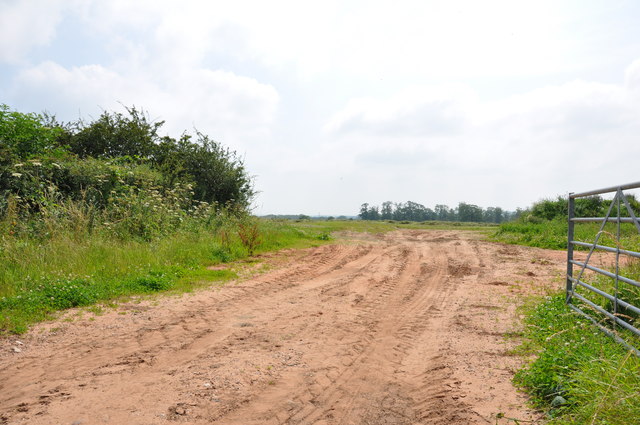
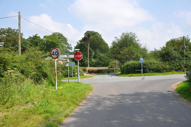
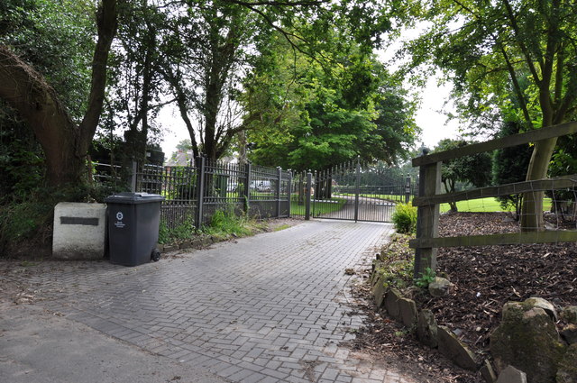
Codsall Wood Images

Images are sourced within 2km of 52.643223/-2.223872 or Grid Reference SJ8405. Thanks to Geograph Open Source API. All images are credited.

Barns at Leper House Farm Typical red brick outbuildings. The farm name suggests the site of a leper hospital associated with the nearby sulphurous Leper Well on Whitehouse Lane.
Barns at Leper House Farm
Typical red brick outbuildings. The farm name suggests the site of a leper hospital associated with the nearby sulphurous Leper Well on Whitehouse Lane.
Codsall Mill The tower mill has been incorporated into Millfield House. Originally an 18th century mill with four sails, boat cap, weathervane and tailpole. Had ceased use by the 1880s.
Codsall Mill
The tower mill has been incorporated into Millfield House. Originally an 18th century mill with four sails, boat cap, weathervane and tailpole. Had ceased use by the 1880s.
Moat Brook downstream of Codsall footbridge The Moat Brook flows around the north side of Codsall and is a tributary of the River Penk.
Moat Brook downstream of Codsall footbridge
The Moat Brook flows around the north side of Codsall and is a tributary of the River Penk.
Moat Brook upstream of  Codsall footbridge The Moat Brook flows around the north side of Codsall and is a tributary of the River Penk.
Moat Brook upstream of Codsall footbridge
The Moat Brook flows around the north side of Codsall and is a tributary of the River Penk.
Sewer Vent Pipe Victorian stench pipe in Mill Lane.
Sewer Vent Pipe
Victorian stench pipe in Mill Lane.
Outbuildings at Langley Lawn Farm A mixture of old & new barns, and the usual 'clutter' that seems to hang around farms.
Outbuildings at Langley Lawn Farm
A mixture of old & new barns, and the usual 'clutter' that seems to hang around farms.
The bridleway of Brick Kiln Lane Skirting the northern edge of Chillington's Big Wood, the track is mostly quite hard underfoot, with the occasional boggy/muddy stretch.
The bridleway of Brick Kiln Lane
Skirting the northern edge of Chillington's Big Wood, the track is mostly quite hard underfoot, with the occasional boggy/muddy stretch.
Brick Kiln Lane bridleway This old lane, now a bridleway, runs through Big Wood and Brick Kiln Coppice, with the boundary wall of the Chillington estate on the right.
Brick Kiln Lane bridleway
This old lane, now a bridleway, runs through Big Wood and Brick Kiln Coppice, with the boundary wall of the Chillington estate on the right.
M54 east just south of The Pool Power lines crossing road can be seen in the distance
M54 east just south of The Pool
Power lines crossing road can be seen in the distance
Driveway into Harriot's Hayes Farm
A sandy entrance into a field near Codsall Wood
Crossroads on the outskirts of Codsall Wood The road crossing the photo is Monarch's Way. This is reputed to be one of the roads King Charles II used on his way to Boscobel House after his defeat at Worcester.
Crossroads on the outskirts of Codsall Wood
The road crossing the photo is Monarch's Way. This is reputed to be one of the roads King Charles II used on his way to Boscobel House after his defeat at Worcester.
Entrance to "The Cottage"  in Whitehouse Lane
Entrance to "The Cottage" in Whitehouse Lane
Driveway to Pendrell Hall, near Codsall Wood
The entrance to Moors Farm, Hotel and B & B This farm has been extended into an Hotel and B & B.  link  <span class="nowrap"><a title="http://www.moorsfarmhotel.co.uk/about-us.php" rel="nofollow ugc noopener" href="http://www.moorsfarmhotel.co.uk/about-us.php">Link</a><img style="margin-left:2px;" alt="External link" title="External link - shift click to open in new window" src="https://s1.geograph.org.uk/img/external.png" width="10" height="10"/></span>
The entrance to Moors Farm, Hotel and B & B
This farm has been extended into an Hotel and B & B. link LinkExternal link
Very old Leper House Farm, reputed to have been a leper colony On nearby Moors Farm is the Lepers Well, a sulphur well which is reputed to cure all ills, including Leprosy. link
Very old Leper House Farm, reputed to have been a leper colony
On nearby Moors Farm is the Lepers Well, a sulphur well which is reputed to cure all ills, including Leprosy. link
M54 south of Wigmore Wood The M54 is a 23 mile east-west motorway in Shropshire and Staffordshire. It is a two-lane dual carriageway for the majority of its length, with sections of three-lane.
The M54 spur connects the M6 motorway near Essington, Staffordshire with the A5 trunk road at Wellington, Shropshire. The motorway forms part of the route to North Wales, roughly following the path of the Roman Watling Street and the A5 north-westwards, towards the port of Holyhead.
M54 south of Wigmore Wood
The M54 is a 23 mile east-west motorway in Shropshire and Staffordshire. It is a two-lane dual carriageway for the majority of its length, with sections of three-lane. The M54 spur connects the M6 motorway near Essington, Staffordshire with the A5 trunk road at Wellington, Shropshire. The motorway forms part of the route to North Wales, roughly following the path of the Roman Watling Street and the A5 north-westwards, towards the port of Holyhead.
M54, west of Big Wood The M54 is a 23 mile east-west motorway in Shropshire and Staffordshire. It is a two-lane dual carriageway for the majority of its length, with sections of three-lane.
The M54 spur connects the M6 motorway near Essington, Staffordshire with the A5 trunk road at Wellington, Shropshire. The motorway forms part of the route to North Wales, roughly following the path of the Roman Watling Street and the A5 north-westwards, towards the port of Holyhead.
M54, west of Big Wood
The M54 is a 23 mile east-west motorway in Shropshire and Staffordshire. It is a two-lane dual carriageway for the majority of its length, with sections of three-lane. The M54 spur connects the M6 motorway near Essington, Staffordshire with the A5 trunk road at Wellington, Shropshire. The motorway forms part of the route to North Wales, roughly following the path of the Roman Watling Street and the A5 north-westwards, towards the port of Holyhead.
Show me another place!

Codsall Wood is located at Grid Ref: SJ8405 (Lat: 52.643223, Lng: -2.223872)

Administrative County: Staffordshire

District: South Staffordshire

Police Authority: Staffordshire

What 3 Words

///forgets.flitting.formally. Near Codsall, Staffordshire

Related Wikis

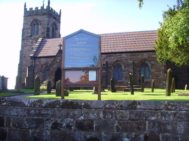
St Nicholas' Church, Codsall

St Nicholas’ Church, Codsall is a Grade II* listed parish church in the Church of England in Codsall == History == The doorway is Norman. The west tower...

RAF Cosford

Royal Air Force Cosford or RAF Cosford (formerly DCAE Cosford) (ICAO: EGWC) is a Royal Air Force station in Cosford, Shropshire, England just to the northwest...

Chillington Hall

Chillington Hall is a Georgian country house near Brewood, Staffordshire, England, four miles northwest of Wolverhampton. It is the residence of the Giffard...

Codsall railway station

Codsall railway station serves the village of Codsall in Staffordshire, England. == History == The original listed GWR footbridge, between the two platforms...

Gunstone

Gunstone is a hamlet in the South Staffordshire district of Staffordshire, England. It is situated north east of the village of Codsall. == Place name... ==

Codsall

Codsall is a large village in the South Staffordshire district of Staffordshire, England. It is situated 5 miles northwest of Wolverhampton and 13 miles...

Codsall Community High School

Codsall Community High School is a coeducational upper school and sixth form located in Codsall, Staffordshire, England.It is located in a large village...

South Staffordshire

South Staffordshire is a local government district in Staffordshire, England. The district lies to the north and west of the West Midlands county, bordering...

Nearby Amenities

Located within 500m of 52.643223,-2.223872
Codsall Wood
Created By: Potlatch 0.10f
Place: hamlet
Lat/Long: 52.6422042/-2.2267921
Cross Guns Inn PH
Naptan AtcoCode: 3800C601500
Naptan Bearing: SE
Naptan BusStopType: CUS
Naptan CommonName: Cross Guns Inn PH
Naptan Indicator: Adj
Naptan Landmark: Cross Guns Inn PH
Naptan Street: Codsall Wood Rd
Naptan Verified: no
Source: naptan_import
Lat/Long: 52.6433031/-2.2270545
Cross Guns Inn PH
Naptan AtcoCode: 3800C601501
Naptan Bearing: NW
Naptan BusStopType: CUS
Naptan CommonName: Cross Guns Inn PH
Naptan Indicator: Opp
Naptan Landmark: Cross Guns PH
Naptan Street: Codsall Wood Rd
Naptan Verified: no
Source: naptan_import
Lat/Long: 52.6432489/-2.2271872
Entrance: main
Lat/Long: 52.6405402/-2.2228974
Fountain
Drinking Water: no
Lat/Long: 52.6403927/-2.2228082
Access: permissive
Entrance: main
Lat/Long: 52.6403705/-2.222646
Access: customers
Entrance: yes
Lat/Long: 52.6402996/-2.2223509
Entrance: yes
Lat/Long: 52.6406236/-2.2225907
Pub
The Pendrell Arms
Lat/Long: 52.6423669/-2.2255583
The data included in this document is from www.openstreetmap.org. The data is made available under ODbL.

Have you been to Codsall Wood?

Leave your review of Codsall Wood below (or comments, questions and feedback).