Blake Holme Plantation
Wood, Forest in Lancashire South Lakeland
England
Blake Holme Plantation
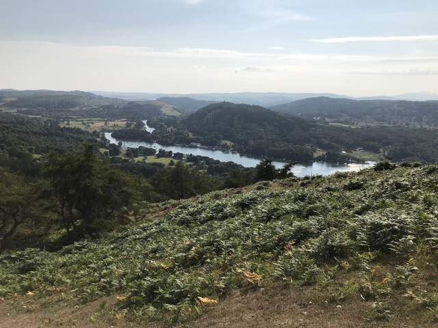
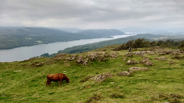
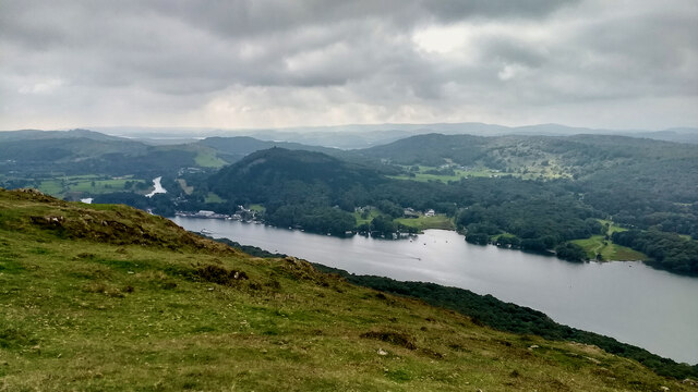
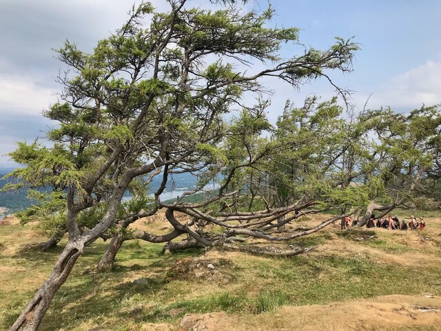
Blake Holme Plantation is a picturesque woodland located in Lancashire, England. Covering an area of approximately 100 acres, the plantation is known for its stunning natural beauty and diverse range of trees and wildlife.
The woodland is primarily composed of deciduous trees such as oak, beech, and birch, which create a vibrant and colorful canopy during the autumn months. These trees provide a habitat for a variety of bird species including woodpeckers, thrushes, and owls, making it a popular destination for birdwatchers.
In addition to its rich flora and fauna, Blake Holme Plantation offers a range of recreational activities for visitors to enjoy. There are several well-maintained walking trails that wind through the woodland, allowing visitors to explore its serene surroundings at their own pace. These trails are suitable for all ages and fitness levels, making it an ideal destination for families and nature enthusiasts.
The plantation is also home to a small pond, which serves as a watering hole for local wildlife. Visitors can often spot frogs, newts, and dragonflies in and around the pond, providing a fascinating glimpse into the ecosystem of the woodland.
Overall, Blake Holme Plantation is a tranquil haven for nature lovers, offering a peaceful retreat from the hustle and bustle of everyday life. With its diverse range of trees, abundant wildlife, and well-maintained trails, it is a must-visit destination for anyone seeking to connect with nature in Lancashire.
If you have any feedback on the listing, please let us know in the comments section below.
Blake Holme Plantation Images
Images are sourced within 2km of 54.301409/-2.9342561 or Grid Reference SD3989. Thanks to Geograph Open Source API. All images are credited.


Blake Holme Plantation is located at Grid Ref: SD3989 (Lat: 54.301409, Lng: -2.9342561)
Administrative County: Cumbria
District: South Lakeland
Police Authority: Cumbria
What 3 Words
///blast.pocket.sedative. Near Windermere, Cumbria
Nearby Locations
Related Wikis
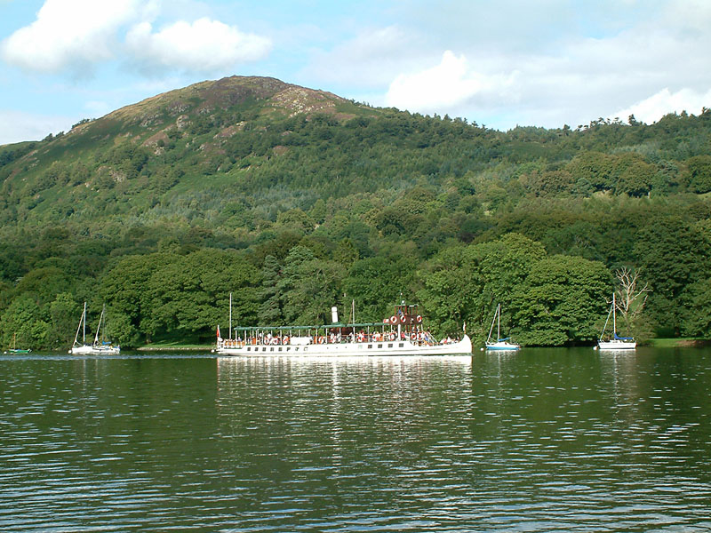
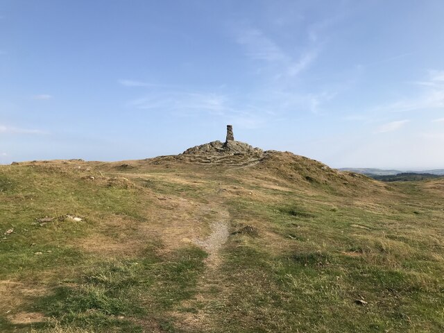
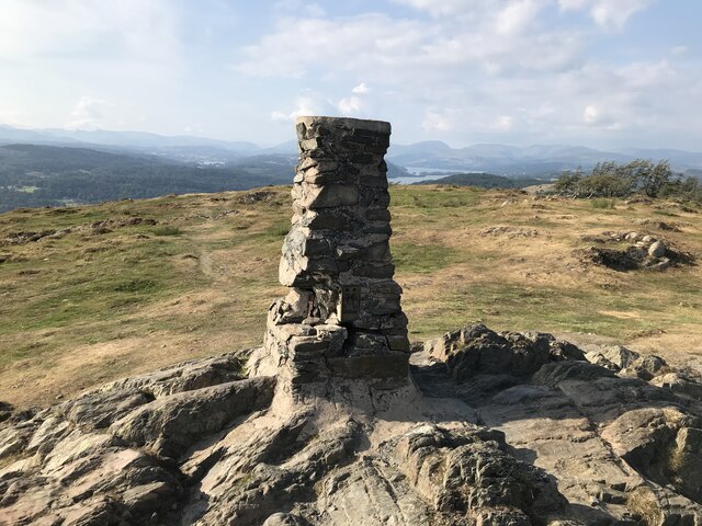
Gummer's How
Gummer's How is a hill in the southern part of the Lake District, on the eastern shore of Windermere, near its southern end. How, derived from the Old...

Heights Tarn
Heights Tarn is a small lake to the east of Windermere and north of Simpson Ground Reservoir, near Cartmel Fell, in the Lake District of Cumbria, England...

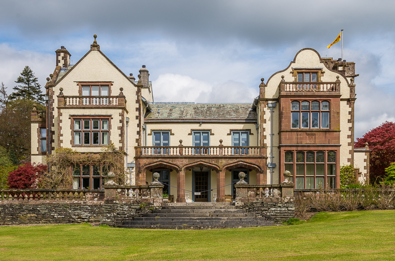
Moor Crag
Moor Crag (sometimes Moorcrag) is a Grade I listed house near Bowness-on-Windermere in South Lakeland, Cumbria, England, overlooking Windermere. It lies...
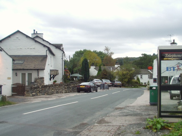
Bowland Bridge
Bowland Bridge is a village in Cumbria, England. == See also == == External links == Media related to Bowland Bridge at Wikimedia Commons
Graythwaite Hall
Graythwaite Hall, in Ulverston, Cumbria in the Lake District of England is the home of the Sandys family. One of the more famous members of the family...
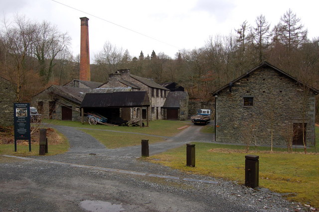
Stott Park Bobbin Mill
Stott Park Bobbin Mill is a 19th-century bobbin mill and now a working museum located near Newby Bridge, Cumbria, England. Built in 1835 the mill was one...
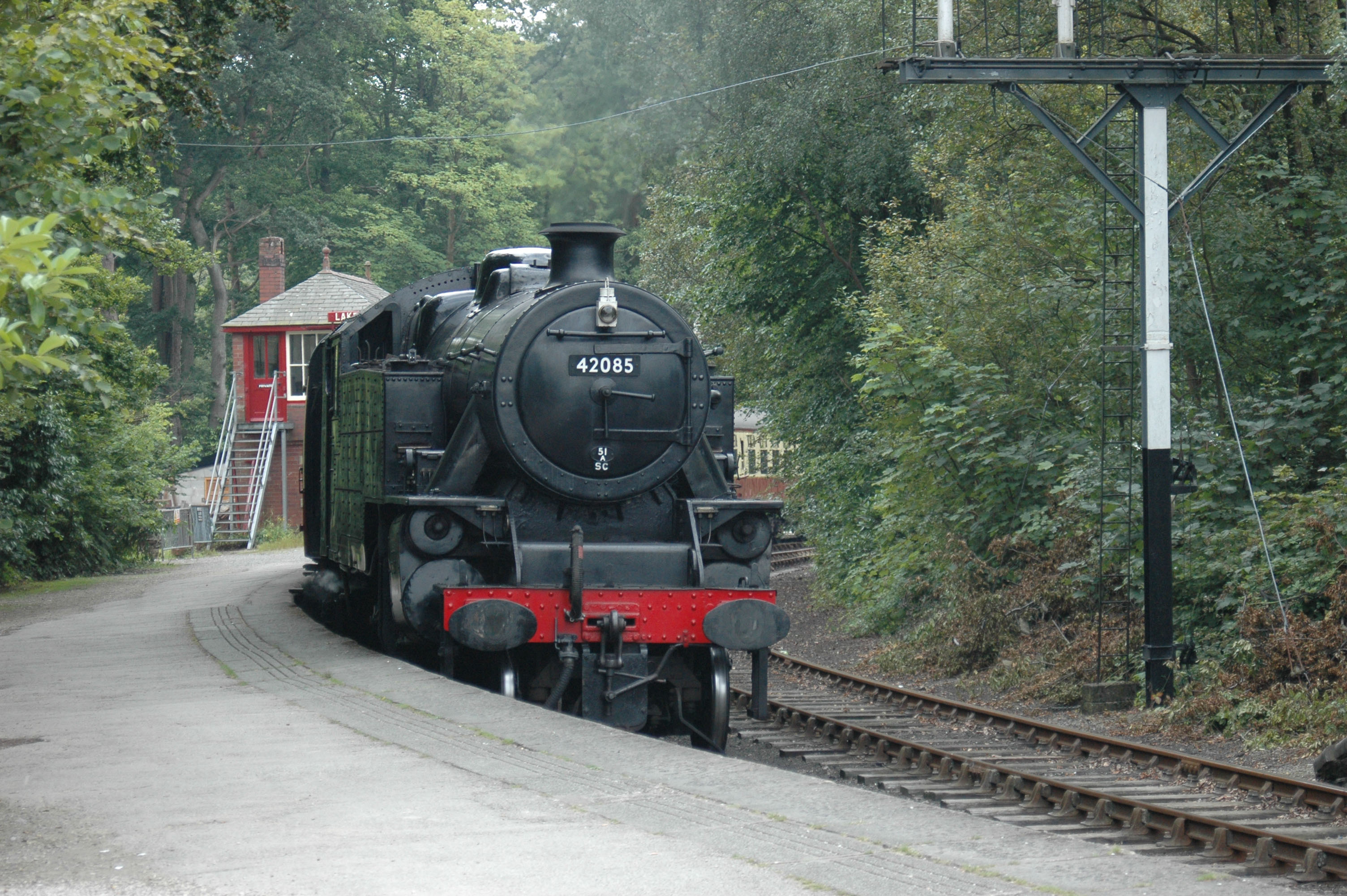
Lakeside railway station (England)
Lakeside railway station is on the heritage Lakeside and Haverthwaite Railway in England. It was previously the terminus of the Furness Railway Ulverston...

Lakes Aquarium
The Lakes Aquarium is an aquarium in the village of Lakeside on the southern shore of Windermere, Cumbria, England. It is one of the docking points of...
Nearby Amenities
Located within 500m of 54.301409,-2.9342561Have you been to Blake Holme Plantation?
Leave your review of Blake Holme Plantation below (or comments, questions and feedback).