Birch Fell
Hill, Mountain in Lancashire South Lakeland
England
Birch Fell
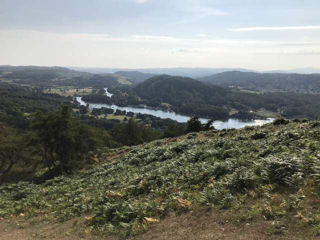
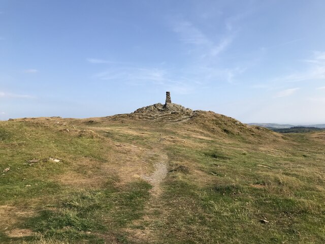
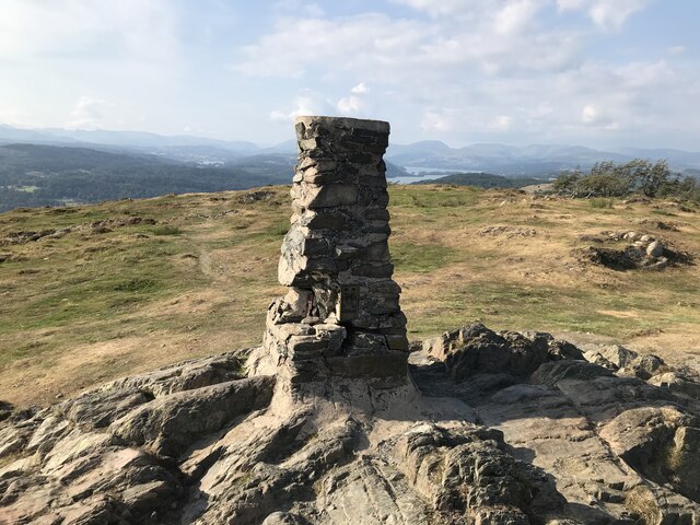
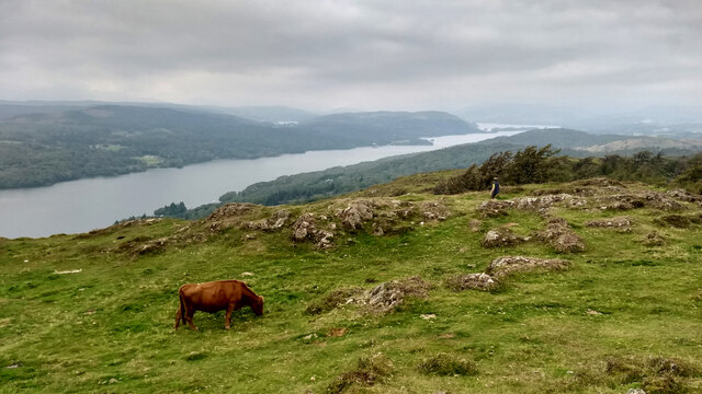
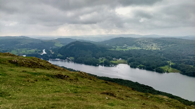
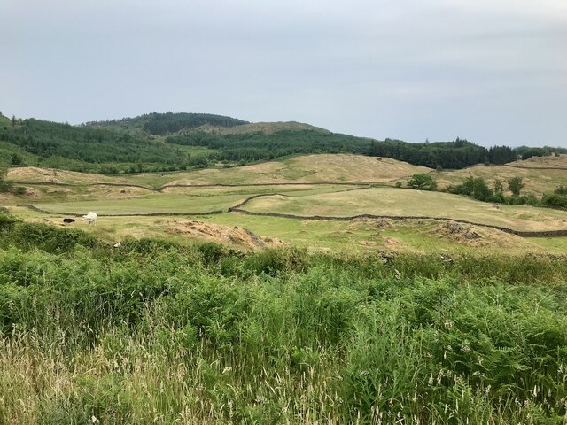
Birch Fell is a picturesque hill located in Lancashire, a county in the northwest of England. Situated within the Forest of Bowland Area of Outstanding Natural Beauty, it stands at an elevation of approximately 365 meters (1,200 feet) above sea level. Offering stunning panoramic views of the surrounding countryside, Birch Fell is a popular destination for hikers, nature enthusiasts, and photographers.
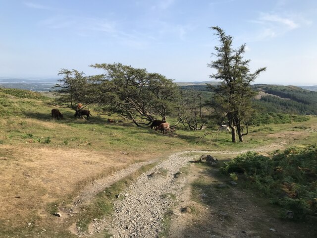
The hill is characterized by its diverse flora and fauna, with a mix of grassland, heather, and scattered birch trees covering its slopes. This variety in vegetation provides a habitat for numerous species of birds, mammals, and insects. It is not uncommon to spot red grouse, curlews, and various species of butterflies while exploring the area.
There are several walking trails that lead to the summit of Birch Fell, including the well-known Bowland Knotts Circular Walk. The ascent can be challenging for some due to the steep and uneven terrain, but the effort is rewarded with breathtaking vistas of the surrounding Lancashire countryside.
Birch Fell is also known for its historical significance, with evidence of prehistoric settlements discovered in the area. Archaeologists have unearthed ancient burial mounds and remnants of stone tools, indicating human activity dating back thousands of years.
Overall, Birch Fell offers visitors a chance to immerse themselves in the natural beauty and tranquility of Lancashire's countryside, making it a must-visit destination for outdoor enthusiasts and those seeking a peaceful retreat.
If you have any feedback on the listing, please let us know in the comments section below.
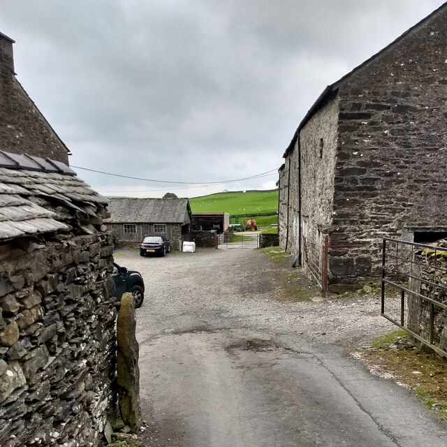
Birch Fell Images
Images are sourced within 2km of 54.294338/-2.9305007 or Grid Reference SD3989. Thanks to Geograph Open Source API. All images are credited.


Birch Fell is located at Grid Ref: SD3989 (Lat: 54.294338, Lng: -2.9305007)
Administrative County: Cumbria
District: South Lakeland
Police Authority: Cumbria
What 3 Words
///custodian.makeup.wiring. Near Windermere, Cumbria
Nearby Locations
Related Wikis
Gummer's How
Gummer's How is a hill in the southern part of the Lake District, on the eastern shore of Windermere, near its southern end. How, derived from the Old...

Heights Tarn
Heights Tarn is a small lake to the east of Windermere and north of Simpson Ground Reservoir, near Cartmel Fell, in the Lake District of Cumbria, England...
Bowland Bridge
Bowland Bridge is a village in Cumbria, England. == See also == == External links == Media related to Bowland Bridge at Wikimedia Commons
Staveley Fell
Staveley Fell is an upland area in the English Lake District, near (and named for) Staveley-in-Cartmel (not to be confused with Staveley-in-Westmorland...

St Anthony's Church, Cartmel Fell
St Anthony's Church, is in the village of Cartmel Fell, Cumbria, England. It is an active Anglican parish church in the deanery of Kendal, the archdeaconry...
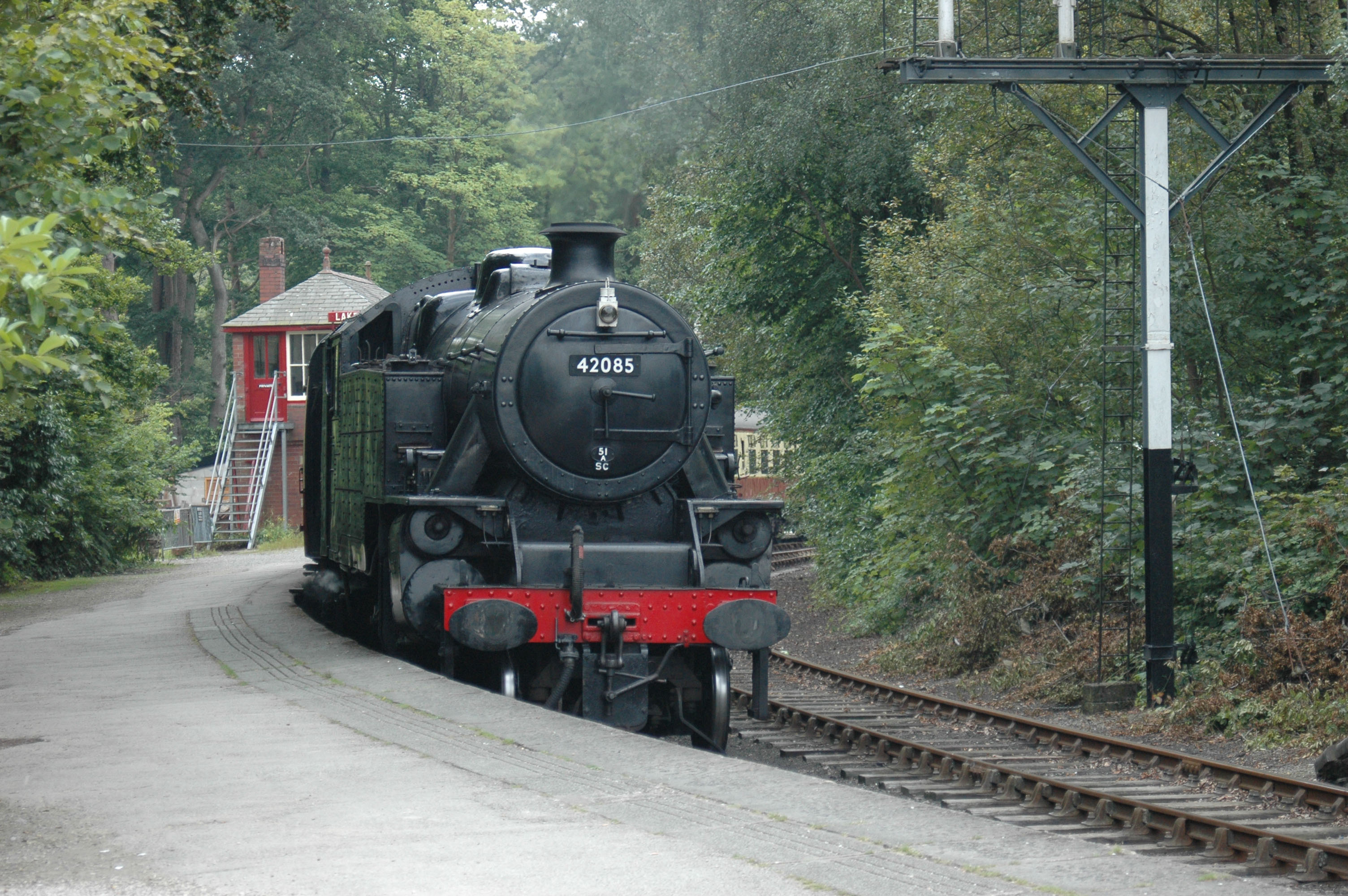
Lakeside railway station (England)
Lakeside railway station is on the heritage Lakeside and Haverthwaite Railway in England. It was previously the terminus of the Furness Railway Ulverston...

Lakes Aquarium
The Lakes Aquarium is an aquarium in the village of Lakeside on the southern shore of Windermere, Cumbria, England. It is one of the docking points of...
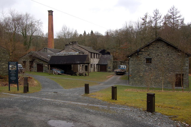
Stott Park Bobbin Mill
Stott Park Bobbin Mill is a 19th-century bobbin mill and now a working museum located near Newby Bridge, Cumbria, England. Built in 1835 the mill was one...
Nearby Amenities
Located within 500m of 54.294338,-2.9305007Have you been to Birch Fell?
Leave your review of Birch Fell below (or comments, questions and feedback).