Church Hill

Hill, Mountain in Somerset

England

Church Hill

St Georges Flag, Clevedon Pier-end. Only a small part of the end of the pier is in this square. This is the view north east with a small bit of Ladye Point (at ST408730) showing in the distance.

Corrected grid refs
St Georges Flag, Clevedon Pier-end. Credit: Nigel Mykura

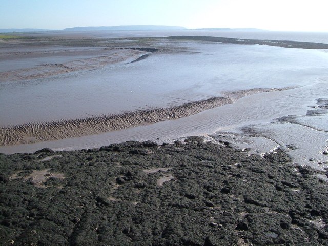
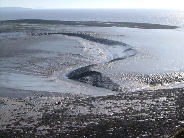
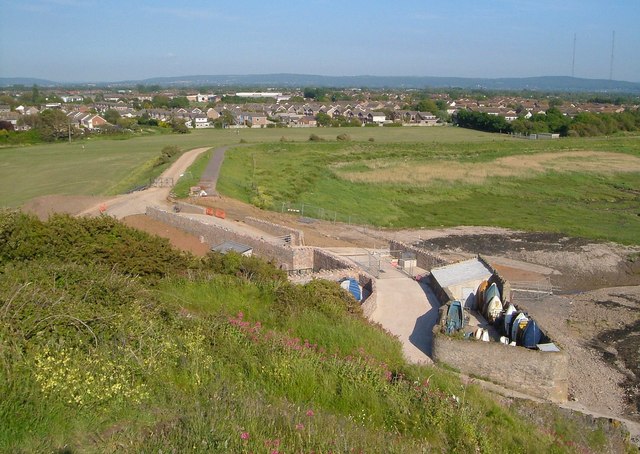
Church Hill is a prominent hill located in the county of Somerset, England. It is situated in the village of Church Hill, nestled within the scenic landscape of the Mendip Hills Area of Outstanding Natural Beauty. Rising to an elevation of approximately 237 meters (778 feet), it is considered one of the tallest hills in the region.

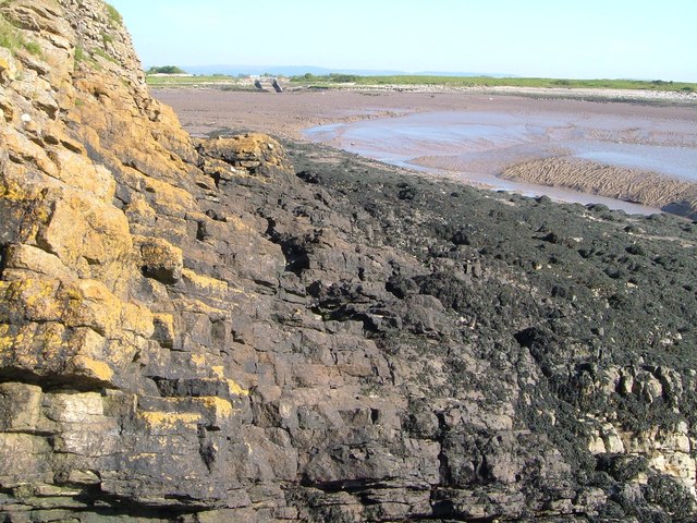
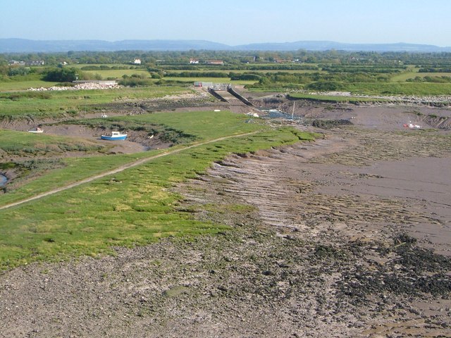
The hill is characterized by its gentle slopes and lush greenery, adorned with a variety of flora and fauna. Its summit offers breathtaking panoramic views of the surrounding countryside, with the quaint village of Church Hill visible from above. The hilltop is primarily covered in grassland, providing a serene and picturesque setting.

Church Hill holds historical significance as it is home to the remains of an ancient hillfort, dating back to the Iron Age. The fortifications, which include earthworks and ramparts, are evidence of the area's past human occupation and defensive strategies.

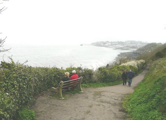
The hill attracts a range of outdoor enthusiasts, including hikers and nature lovers, who can explore the numerous footpaths and trails that crisscross its slopes. These paths provide opportunities for leisurely strolls or more challenging hikes, catering to different levels of fitness and ability.

Church Hill, Somerset, offers a serene and captivating natural environment, steeped in history. Its elevated position, scenic beauty, and archaeological significance make it a popular destination for locals and tourists alike, seeking a tranquil escape or an adventure in the great outdoors.

If you have any feedback on the listing, please let us know in the comments section below.
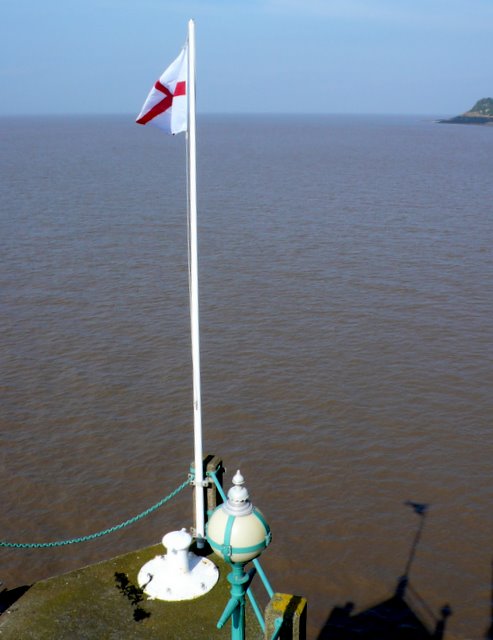
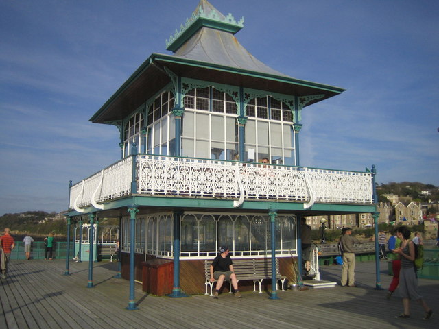
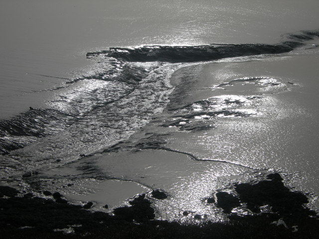
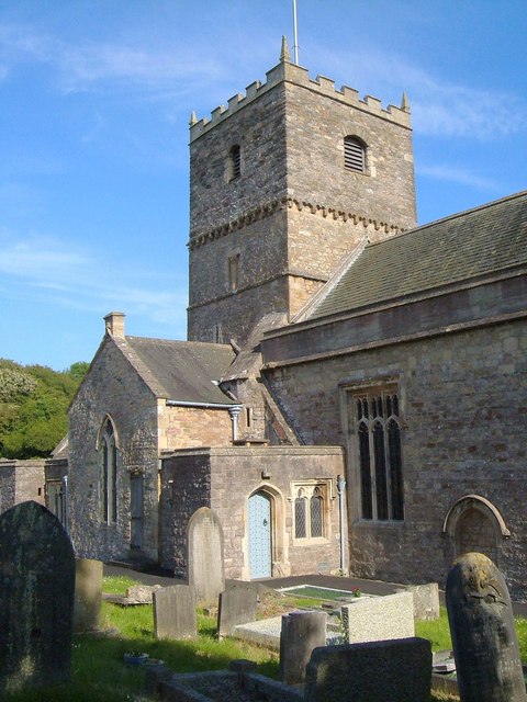
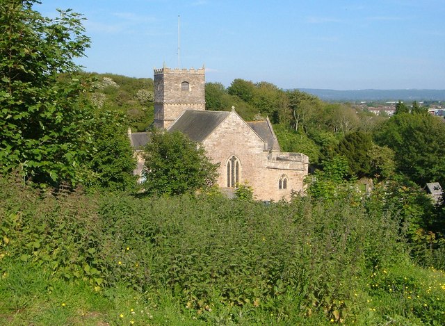
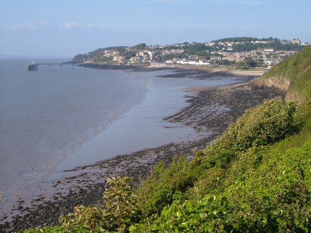
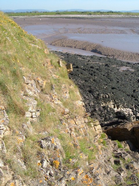
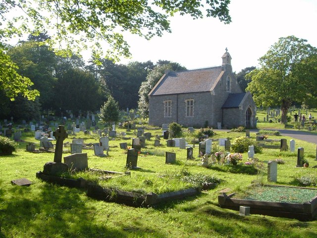
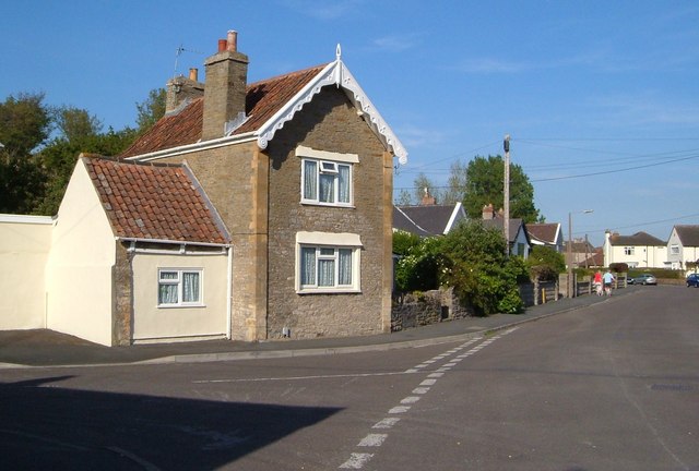
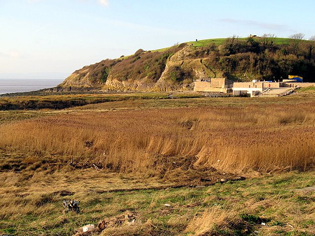
Church Hill Images

Images are sourced within 2km of 51.433993/-2.8712525 or Grid Reference ST3970. Thanks to Geograph Open Source API. All images are credited.

St Georges Flag, Clevedon Pier-end. Only a small part of the end of the pier is in this square. This is the view north east with a small bit of Ladye Point (at ST408730) showing in the distance.

Corrected grid refs
St Georges Flag, Clevedon Pier-end.
Only a small part of the end of the pier is in this square. This is the view north east with a small bit of Ladye Point (at ST408730) showing in the distance. Corrected grid refs
Pavilion, Clevedon Pier
Poet's Walk, Clevedon The name of the walk is a commemoration of the poets and writers who have visited Clevedon. In the distance is the town and pier.
Poet's Walk, Clevedon
The name of the walk is a commemoration of the poets and writers who have visited Clevedon. In the distance is the town and pier.
Mudflats in the Sunshine Seen from the path on Wain's Hill
Mudflats in the Sunshine
Seen from the path on Wain's Hill
Parish Church of St Andrew, Clevedon The church is also shown in <a href="https://www.geograph.org.uk/photo/288601">ST3970 : St Andrews church</a>. Parts date from the C12 <span class="nowrap"><a title="http://www.britishlistedbuildings.co.uk/en-33114-parish-church-of-st-andrew-clevedon" rel="nofollow ugc noopener" href="http://www.britishlistedbuildings.co.uk/en-33114-parish-church-of-st-andrew-clevedon">Link</a><img style="margin-left:2px;" alt="External link" title="External link - shift click to open in new window" src="https://s1.geograph.org.uk/img/external.png" width="10" height="10"/></span>
Parish Church of St Andrew, Clevedon
The church is also shown in ST3970 : St Andrews church. Parts date from the C12 LinkExternal link
St Andrew's church, Clevedon Seen from the coast path on Wain's Hill. See also <a href="https://www.geograph.org.uk/photo/288601">ST3970 : St Andrews church</a> and <a href="https://www.geograph.org.uk/photo/2615266">ST3970 : Parish Church of St Andrew, Clevedon</a>.
St Andrew's church, Clevedon
Seen from the coast path on Wain's Hill. See also ST3970 : St Andrews church and ST3970 : Parish Church of St Andrew, Clevedon.
Salthouse and Clevedon Bays With only a slight headland between them, the two bays merge into one in this view from the coast path.
Salthouse and Clevedon Bays
With only a slight headland between them, the two bays merge into one in this view from the coast path.
Edge of Wain's Hill At its western edge, the hill tumbles into the mud of Clevedon Pill, exposing strata of carboniferous limestone.
Edge of Wain's Hill
At its western edge, the hill tumbles into the mud of Clevedon Pill, exposing strata of carboniferous limestone.
Clevedon Pill With a weed-covered wave-cut platform, in the foreground at the foot of Wain's Hill. The sinuous creek is carrying water from the Land Yeo and the Blind Yeo channel. Across on the right are the dark Blackstone Rocks. Blue in the distance are the promontories around Weston.
Clevedon Pill
With a weed-covered wave-cut platform, in the foreground at the foot of Wain's Hill. The sinuous creek is carrying water from the Land Yeo and the Blind Yeo channel. Across on the right are the dark Blackstone Rocks. Blue in the distance are the promontories around Weston.
Rocks below Wain's Hill Down near sea level below the slope shown in <a href="https://www.geograph.org.uk/photo/2615437">ST3870 : Edge of Wain's Hill</a>, with carboniferous limestone covered in zones of coloured lichen and seaweed. Left of centre across the embayment of Clevedon Pill is the outfall sluice of the Blind Yeo.
Rocks below Wain's Hill
Down near sea level below the slope shown in ST3870 : Edge of Wain's Hill, with carboniferous limestone covered in zones of coloured lichen and seaweed. Left of centre across the embayment of Clevedon Pill is the outfall sluice of the Blind Yeo.
Clevedon Pill The creek, carrying water from the Land Yeo and the Blind Yeo, twists towards the camera and then turns seawards (right in the photo). See also <a href="https://www.geograph.org.uk/photo/2615449">ST3870 : Clevedon Pill</a>.
Clevedon Pill
The creek, carrying water from the Land Yeo and the Blind Yeo, twists towards the camera and then turns seawards (right in the photo). See also ST3870 : Clevedon Pill.
Salt-marsh by Land Yeo A narrow tongue of land between the Land Yeo creek (left) and Clevedon Pill, with the outfall sluice of the Blind Yeo on the far side. Behind the white rocks on the left is a circular pumping station. Across the fields are farms along Lower Strode Road. The Mendips are in the distance. Viewed from the same spot as <a href="https://www.geograph.org.uk/photo/2615500">ST3970 : Clevedon Pill</a>.
Salt-marsh by Land Yeo
A narrow tongue of land between the Land Yeo creek (left) and Clevedon Pill, with the outfall sluice of the Blind Yeo on the far side. Behind the white rocks on the left is a circular pumping station. Across the fields are farms along Lower Strode Road. The Mendips are in the distance. Viewed from the same spot as ST3970 : Clevedon Pill.
Land Yeo outfall, Clevedon A view from Wain's Hill. The outfall sluice (on which work is being carried out <span class="nowrap"><a title="http://www.n-somerset.gov.uk/cairo/docs/doc10241.htm" rel="nofollow ugc noopener" href="http://www.n-somerset.gov.uk/cairo/docs/doc10241.htm">Link</a><img style="margin-left:2px;" alt="External link" title="External link - shift click to open in new window" src="https://s1.geograph.org.uk/img/external.png" width="10" height="10"/></span> ), by which the river empties into Clevedon Pill, is the site of a C17 water grist mill <span class="nowrap"><a title="http://www.ndlhs.org.uk/ebooks/MillsOnTheLandYeoFurthe.pdf" rel="nofollow ugc noopener" href="http://www.ndlhs.org.uk/ebooks/MillsOnTheLandYeoFurthe.pdf">Link</a><img style="margin-left:2px;" alt="External link" title="External link - shift click to open in new window" src="https://s1.geograph.org.uk/img/external.png" width="10" height="10"/></span> . The tracks beyond the outfall run along Marshall's Bank, a tidal embankment. Across Marshall's Field are the estates of southern Clevedon. The twin masts on the right are at the Wireless Transmission Station on Colehouse Lane.
Land Yeo outfall, Clevedon
A view from Wain's Hill. The outfall sluice (on which work is being carried out LinkExternal link ), by which the river empties into Clevedon Pill, is the site of a C17 water grist mill LinkExternal link . The tracks beyond the outfall run along Marshall's Bank, a tidal embankment. Across Marshall's Field are the estates of southern Clevedon. The twin masts on the right are at the Wireless Transmission Station on Colehouse Lane.
Land Yeo at Clevedon Looking upstream around the river's last bend before it reaches the outfall shown in <a href="https://www.geograph.org.uk/photo/2615591">ST3970 : Land Yeo outfall, Clevedon</a>. The houses are on Old Church Road.
Land Yeo at Clevedon
Looking upstream around the river's last bend before it reaches the outfall shown in ST3970 : Land Yeo outfall, Clevedon. The houses are on Old Church Road.
Cemetery Allotments, Clevedon A view across the allotments shown in <a href="https://www.geograph.org.uk/photo/2042392">ST3970 : Cemetery Allotments, Old Church Road, Clevedon</a>, with Clevedon Cemetery across the wall in the background.
Cemetery Allotments, Clevedon
A view across the allotments shown in ST3970 : Cemetery Allotments, Old Church Road, Clevedon, with Clevedon Cemetery across the wall in the background.
Cemetery Allotments, Clevedon Vivid midsummer greens evident along a path through the allotments shown in <a href="https://www.geograph.org.uk/photo/2615608">ST3970 : Cemetery Allotments, Clevedon</a>.
Cemetery Allotments, Clevedon
Vivid midsummer greens evident along a path through the allotments shown in ST3970 : Cemetery Allotments, Clevedon.
Cemetery chapel, Clevedon Seen from Old Church Road.
Cemetery chapel, Clevedon
Seen from Old Church Road.
Old Church Road, Clevedon The house, with interesting bargeboards, is at the corner of Church Close.
Old Church Road, Clevedon
The house, with interesting bargeboards, is at the corner of Church Close.
Show me another place!

Church Hill is located at Grid Ref: ST3970 (Lat: 51.433993, Lng: -2.8712525)

Unitary Authority: North Somerset

Police Authority: Avon and Somerset

What 3 Words

///tilt.blur.chairs. Near Clevedon, Somerset

Related Wikis

Wain's Hill

Wain's Hill is an univallate Iron Age hill fort situated approximately 1 mile (1.6 km) south-west from the town of Clevedon in the North Somerset district...

Clevedon Hall

Clevedon Hall is a mansion with 17 acres (6.9 ha) of land in Clevedon, North Somerset, England. It is a Grade II* listed building. It is not to be confused...

St Brandon's School

St Brandon's School was an independent school incorporating an infant and junior school and a senior boarding school for girls, located in the town of...
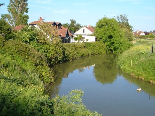
Land Yeo

The Land Yeo is a small river which flows through North Somerset, England. It rises on Dundry Hill and supplies Barrow Gurney Reservoirs before flowing...

Curzon Community Cinema, Clevedon

The Curzon Cinema & Arts, in Clevedon, North Somerset, England, is one of the oldest continually running purpose-built cinemas in the world. == History... ==

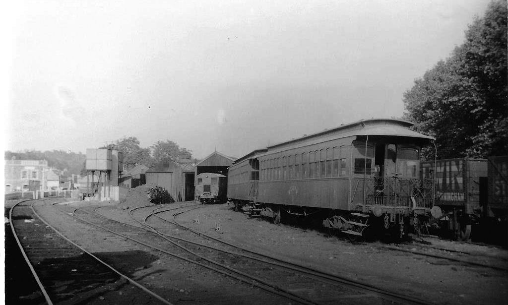
Clevedon railway station (WCP)

Clevedon railway station served the town of Clevedon, North Somerset, England, from 1897 to 1940 on the Weston, Clevedon and Portishead Railway. ��2�...
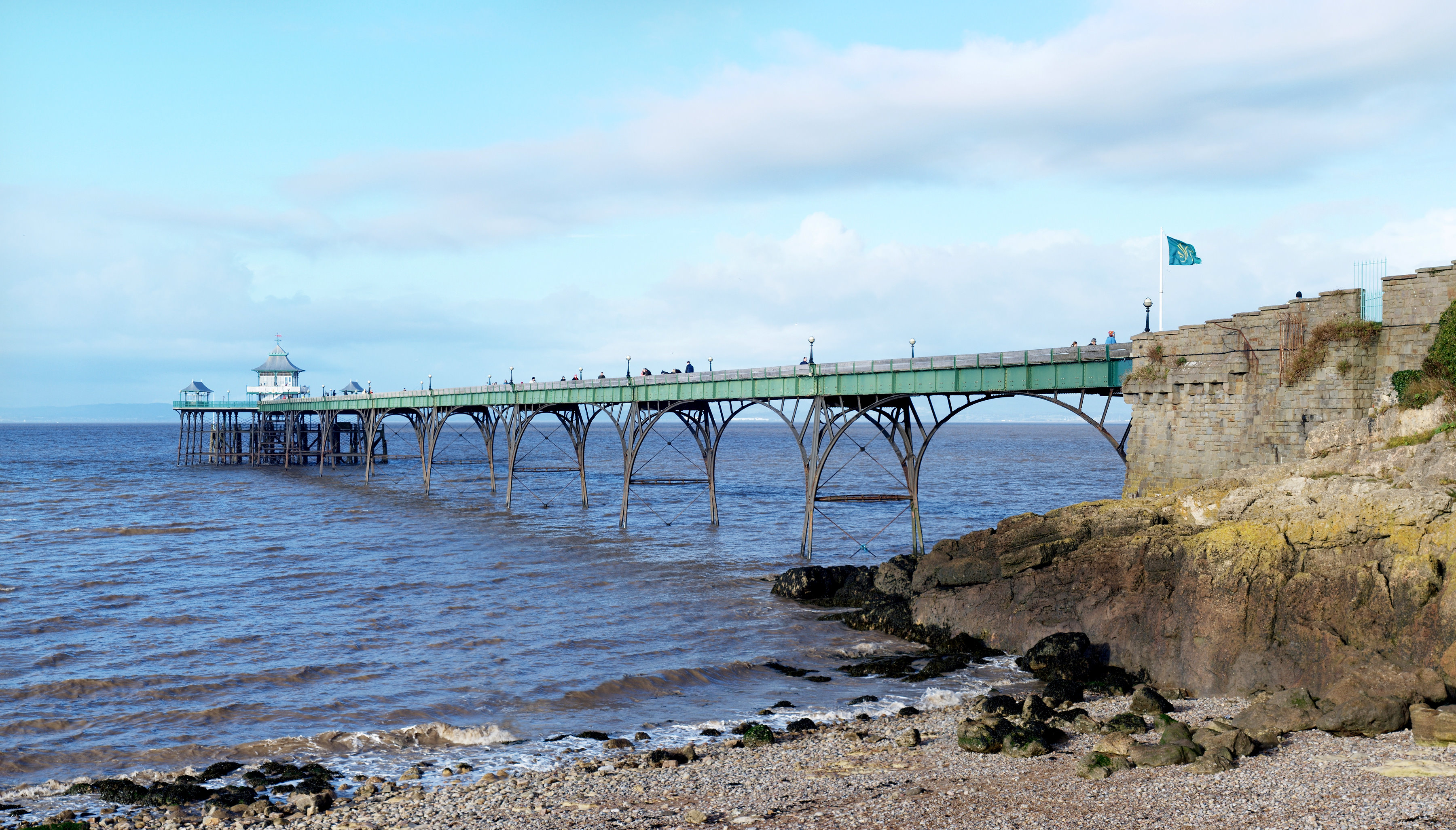
Clevedon Pier

Clevedon Pier is a seaside pier in the town of Clevedon, Somerset, England on the east shore of the Severn Estuary. It was described by Sir John Betjeman...

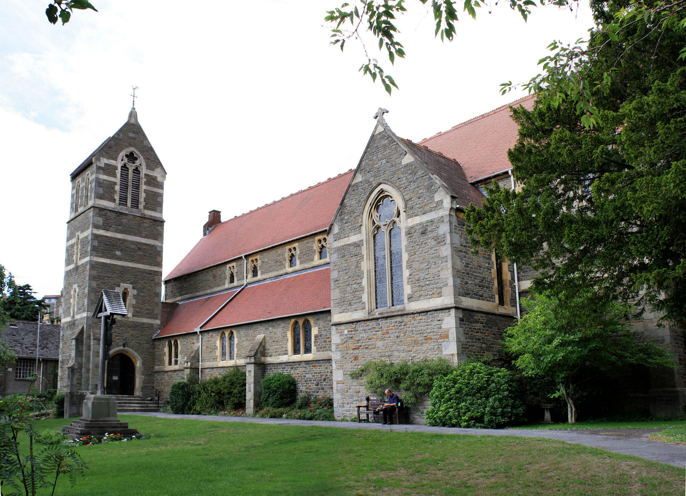
Church of St John the Evangelist, Clevedon

The Church of St John the Evangelist is a Church of England church in Clevedon, Somerset, England. Designed by William Butterfield, it was built in 1876...

Nearby Amenities

Located within 500m of 51.433993,-2.8712525
Source: PGS
Lat/Long: 51.4367737/-2.8661204
Source: PGS
Lat/Long: 51.4368107/-2.8662225
Source: PGS
Lat/Long: 51.4367163/-2.8663042
Source: PGS
Lat/Long: 51.4356762/-2.8703315
Source: PGS
Lat/Long: 51.4356585/-2.8704021
Source: PGS
Lat/Long: 51.4354297/-2.8707824
Source: PGS
Lat/Long: 51.4350621/-2.8713013
Source: PGS
Lat/Long: 51.4341845/-2.8732496
Source: PGS
Lat/Long: 51.4336379/-2.8744394
Turning Circle
Lat/Long: 51.4329431/-2.8738247
Traffic Calming: bump
Lat/Long: 51.4344029/-2.8672083
Bus Stop
Leisure Centre
Bus: yes
Naptan AtcoCode: 0190NSC30773
Naptan Bearing: S
Naptan CommonName: Leisure Centre
Naptan Crossing: Ashley Road
Naptan NaptanCode: wsmdmpt
Naptan Street: Southern Way
Naptan Verified: no
Public Transport: platform
Source: naptan_import
Lat/Long: 51.4300656/-2.8690008
Bus Stop
Saltings Close
Bus: yes
Departures Board: realtime
Naptan AtcoCode: 0190NSC30774
Naptan Bearing: S
Naptan CommonName: Saltings Close
Naptan Crossing: Saltings Close
Naptan NaptanCode: wsmdmpj
Naptan Street: Southern Way
Naptan Verified: no
Public Transport: platform
Source: naptan_import
Lat/Long: 51.4321393/-2.8693318
Bus Stop
Salthouse Fields
Bus: yes
Naptan AtcoCode: 0190NSC30776
Naptan Bearing: NE
Naptan CommonName: Salthouse Fields
Naptan Crossing: Salthouse Road
Naptan NaptanCode: wsmdmtg
Naptan Street: Old Church Road
Naptan Verified: no
Public Transport: platform
Shelter: no
Source: naptan_import
Lat/Long: 51.4340991/-2.8679615
Bus Stop
Salthouse Fields
Bus: yes
Naptan AtcoCode: 0190NSC30777
Naptan Bearing: N
Naptan CommonName: Salthouse Fields
Naptan Crossing: Pizey Avenue
Naptan NaptanCode: wsmdmtw
Naptan Street: Old Church Road
Naptan Verified: no
Public Transport: platform
Source: naptan_import
Lat/Long: 51.4346401/-2.8658643
Bus Stop
Knowles Road
Bus: yes
Naptan AtcoCode: 0190NSC30778
Naptan Bearing: E
Naptan CommonName: Knowles Road
Naptan Crossing: Knowles Road
Naptan NaptanCode: wsmdmwg
Naptan Street: Old Church Road
Naptan Verified: no
Public Transport: platform
Source: naptan_import
Lat/Long: 51.4349003/-2.8645833
Bus Stop
Old Church Road
Bus: yes
Naptan AtcoCode: 0190NSC30824
Naptan Bearing: N
Naptan CommonName: Old Church Road
Naptan Crossing: Old Church Road
Naptan NaptanCode: wsmdmtp
Naptan Street: Elton Road
Naptan Verified: no
Public Transport: platform
Source: naptan_import
Lat/Long: 51.4351248/-2.8657846
Bus Stop
Westbourne Crescent
Bus: yes
Naptan AtcoCode: 0190NSC30826
Naptan Bearing: E
Naptan CommonName: Westbourne Crescent
Naptan Crossing: Westbourne Crescent
Naptan NaptanCode: wsmdmwj
Naptan Street: Westbourne Avenue
Naptan Verified: no
Public Transport: platform
Source: naptan_import
Lat/Long: 51.4325369/-2.8645863
Give Way
Direction: backward
Lat/Long: 51.4348287/-2.865542
Traffic Calming: bump
Lat/Long: 51.4342693/-2.867667
Clevedon Miniature Railway
Tourism: attraction
Lat/Long: 51.4351637/-2.8683196
Barrier: bollard
Lat/Long: 51.4321629/-2.8692784
Barrier: bollard
Lat/Long: 51.4321449/-2.8692751
Barrier: bollard
Lat/Long: 51.4321265/-2.8692724
Bench
Backrest: yes
Check Date: 2021-07-06
Lat/Long: 51.4306324/-2.8753151
Telephone
Booth: K6
Covered: booth
Man Made: telephone_box
Survey Date: 2014-03-15
Lat/Long: 51.4346866/-2.8659395
Post Box
Collection Times: Mo-Fr 16:00; Sa 12:30
Post Box Type: pillar
Ref: BS21 16
Royal Cypher: GR
Royal Cypher Wikidata: Q33102273
Survey Date: 2014-03-15
Lat/Long: 51.4346758/-2.8659749
Atm
Fee: yes
Location: indoor
Lat/Long: 51.4345433/-2.8699502
Waste Basket
Lat/Long: 51.4345544/-2.8668456
Traffic Calming: bump
Lat/Long: 51.4345/-2.8667913
Waste Basket
Lat/Long: 51.4344181/-2.8674062
Drinking Water
Access: yes
Bottle: yes
Drinking Water: yes
Location: outdoor
Man Made: water_tap
Lat/Long: 51.4366408/-2.8660613
Defibrillator
Access: yes
Emergency: defibrillator
Indoor: no
Lat/Long: 51.4366701/-2.8660233
Shower
Access: yes
Fee: no
Location: outdoor
Supervised: no
Unisex: yes
Wheelchair: no
Lat/Long: 51.4366308/-2.8660679
Generator Method: photovoltaic
Generator Output Electricity: yes
Generator Source: solar
Generator Type: solar_photovoltaic_panel
Location: roof
Power: generator
Lat/Long: 51.4306615/-2.8712511
Generator Method: photovoltaic
Generator Output Electricity: yes
Generator Source: solar
Generator Type: solar_photovoltaic_panel
Location: roof
Power: generator
Lat/Long: 51.4306766/-2.8709507
Generator Method: photovoltaic
Generator Output Electricity: yes
Generator Source: solar
Generator Type: solar_photovoltaic_panel
Location: roof
Power: generator
Lat/Long: 51.4302485/-2.8705537
Generator Method: photovoltaic
Generator Output Electricity: yes
Generator Source: solar
Generator Type: solar_photovoltaic_panel
Location: roof
Power: generator
Lat/Long: 51.4303338/-2.8684965
Generator Method: photovoltaic
Generator Output Electricity: yes
Generator Source: solar
Generator Type: solar_photovoltaic_panel
Location: roof
Power: generator
Lat/Long: 51.4303388/-2.8684428
Generator Method: photovoltaic
Generator Output Electricity: yes
Generator Source: solar
Generator Type: solar_photovoltaic_panel
Location: roof
Power: generator
Lat/Long: 51.4312652/-2.8688881
Generator Method: photovoltaic
Generator Output Electricity: yes
Generator Source: solar
Generator Type: solar_photovoltaic_panel
Location: roof
Power: generator
Lat/Long: 51.4312719/-2.8687915
Generator Method: photovoltaic
Generator Output Electricity: yes
Generator Source: solar
Generator Type: solar_photovoltaic_panel
Location: roof
Power: generator
Lat/Long: 51.4311983/-2.868247
Generator Method: photovoltaic
Generator Output Electricity: yes
Generator Source: solar
Generator Type: solar_photovoltaic_panel
Location: roof
Power: generator
Lat/Long: 51.4311833/-2.8679788
Generator Method: photovoltaic
Generator Output Electricity: yes
Generator Source: solar
Generator Type: solar_photovoltaic_panel
Location: roof
Power: generator
Lat/Long: 51.4314876/-2.8676865
Generator Method: photovoltaic
Generator Output Electricity: yes
Generator Source: solar
Generator Type: solar_photovoltaic_panel
Location: roof
Power: generator
Lat/Long: 51.4319007/-2.8681183
Generator Method: photovoltaic
Generator Output Electricity: yes
Generator Source: solar
Generator Type: solar_photovoltaic_panel
Location: roof
Power: generator
Lat/Long: 51.4319625/-2.8684804
Generator Method: photovoltaic
Generator Output Electricity: yes
Generator Source: solar
Generator Type: solar_photovoltaic_panel
Location: roof
Power: generator
Lat/Long: 51.432215/-2.8684187
Generator Method: photovoltaic
Generator Output Electricity: yes
Generator Source: solar
Generator Type: solar_photovoltaic_panel
Location: roof
Power: generator
Lat/Long: 51.4328153/-2.8675067
Generator Method: photovoltaic
Generator Output Electricity: yes
Generator Source: solar
Generator Type: solar_photovoltaic_panel
Location: roof
Power: generator
Lat/Long: 51.4327802/-2.8671983
Generator Method: photovoltaic
Generator Output Electricity: yes
Generator Source: solar
Generator Type: solar_photovoltaic_panel
Location: roof
Power: generator
Lat/Long: 51.4331963/-2.8669243
Generator Method: photovoltaic
Generator Output Electricity: yes
Generator Source: solar
Generator Type: solar_photovoltaic_panel
Location: roof
Power: generator
Lat/Long: 51.4336397/-2.8671929
Generator Method: photovoltaic
Generator Output Electricity: yes
Generator Source: solar
Generator Type: solar_photovoltaic_panel
Location: roof
Power: generator
Lat/Long: 51.4341949/-2.8668845
Generator Method: photovoltaic
Generator Output Electricity: yes
Generator Source: solar
Generator Type: solar_photovoltaic_panel
Location: roof
Power: generator
Lat/Long: 51.4341731/-2.8668147
Generator Method: photovoltaic
Generator Output Electricity: yes
Generator Source: solar
Generator Type: solar_photovoltaic_panel
Location: roof
Power: generator
Lat/Long: 51.4328421/-2.866686
Generator Method: photovoltaic
Generator Output Electricity: yes
Generator Source: solar
Generator Type: solar_photovoltaic_panel
Location: roof
Power: generator
Lat/Long: 51.4327451/-2.8668764
Generator Method: photovoltaic
Generator Output Electricity: yes
Generator Source: solar
Generator Type: solar_photovoltaic_panel
Location: roof
Power: generator
Lat/Long: 51.4326824/-2.8660342
Generator Method: photovoltaic
Generator Output Electricity: yes
Generator Source: solar
Generator Type: solar_photovoltaic_panel
Location: roof
Power: generator
Lat/Long: 51.4322593/-2.86496
Generator Method: photovoltaic
Generator Output Electricity: yes
Generator Source: solar
Generator Type: solar_photovoltaic_panel
Location: roof
Power: generator
Lat/Long: 51.4322618/-2.8650901
Generator Method: photovoltaic
Generator Output Electricity: yes
Generator Source: solar
Generator Type: solar_photovoltaic_panel
Location: roof
Power: generator
Lat/Long: 51.4322134/-2.8652711
Generator Method: photovoltaic
Generator Output Electricity: yes
Generator Source: solar
Generator Type: solar_photovoltaic_panel
Location: roof
Power: generator
Lat/Long: 51.4322167/-2.8654213
Generator Method: photovoltaic
Generator Output Electricity: yes
Generator Source: solar
Generator Type: solar_photovoltaic_panel
Location: roof
Power: generator
Lat/Long: 51.4322794/-2.8658398
Generator Method: photovoltaic
Generator Output Electricity: yes
Generator Source: solar
Generator Type: solar_photovoltaic_panel
Location: roof
Power: generator
Lat/Long: 51.4322802/-2.8660047
Generator Method: photovoltaic
Generator Output Electricity: yes
Generator Source: solar
Generator Type: solar_photovoltaic_panel
Location: roof
Power: generator
Lat/Long: 51.4322828/-2.8661388
Board Type: nature
Information: board
Tourism: information
Lat/Long: 51.4328472/-2.8733669
Board Type: nature
Information: board
Tourism: information
Lat/Long: 51.4315195/-2.8756891
Clevedon Special
Tourism: viewpoint
Lat/Long: 51.4348877/-2.8716423
Bench
Backrest: yes
Lat/Long: 51.4347735/-2.8711808
Post Office
West End Post Office
Addr City: Clevedon
Addr Country: GB
Addr Housenumber: 165
Addr Postcode: BS21 7UB
Addr Street: Old Church Road
Brand: Post Office
Brand Wikidata: Q1783168
Brand Wikipedia: en:Post Office Ltd
Contact Website: https://www.postoffice.co.uk/branch-finder/4315111/west-end
Ref Pol Id: 127010
Lat/Long: 51.4326706/-2.8698824
Generator Method: photovoltaic
Generator Output Electricity: yes
Generator Source: solar
Generator Type: solar_photovoltaic_panel
Location: roof
Power: generator
Lat/Long: 51.4322788/-2.8662713
Generator Method: photovoltaic
Generator Output Electricity: yes
Generator Source: solar
Generator Type: solar_photovoltaic_panel
Location: roof
Power: generator
Lat/Long: 51.4317054/-2.8658373
Generator Method: photovoltaic
Generator Output Electricity: yes
Generator Source: solar
Generator Type: solar_photovoltaic_panel
Location: roof
Power: generator
Lat/Long: 51.4317044/-2.8657711
Generator Method: photovoltaic
Generator Output Electricity: yes
Generator Source: solar
Generator Type: solar_photovoltaic_panel
Location: roof
Power: generator
Lat/Long: 51.4316853/-2.8652371
Bench
Lat/Long: 51.4354608/-2.8679424
Bench
Lat/Long: 51.4355771/-2.8677544
Bench
Lat/Long: 51.4356917/-2.8675631
Bench
Lat/Long: 51.4358359/-2.8673112
Bench
Lat/Long: 51.4359617/-2.8670967
Bench
Lat/Long: 51.4353444/-2.8681336
Bench
Lat/Long: 51.4351547/-2.868449
Bench
Lat/Long: 51.4350556/-2.8686295
Bench
Lat/Long: 51.4344027/-2.8719948
Church Hill
Natural: peak
Lat/Long: 51.4343468/-2.8713465
West End
Place: suburb
Source: OS Open Names
Lat/Long: 51.4314242/-2.8693818
Waste Basket
Waste: dog_excrement
Lat/Long: 51.4329559/-2.8731125
Waste Basket
Waste: dog_excrement
Lat/Long: 51.4346523/-2.8693339
Barrier: cycle_barrier
Lat/Long: 51.4313754/-2.86695
Parcel Locker
clearco
Brand: Amazon Locker
Brand Wikidata: Q16974764
Lat/Long: 51.4347174/-2.8650372
The data included in this document is from www.openstreetmap.org. The data is made available under ODbL.

Have you been to Church Hill?

Leave your review of Church Hill below (or comments, questions and feedback).