Wain's Hill
Heritage Site in Somerset
England
Wain's Hill
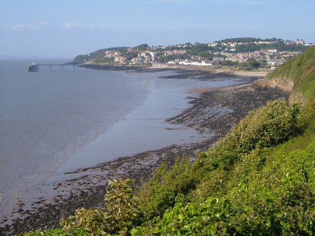
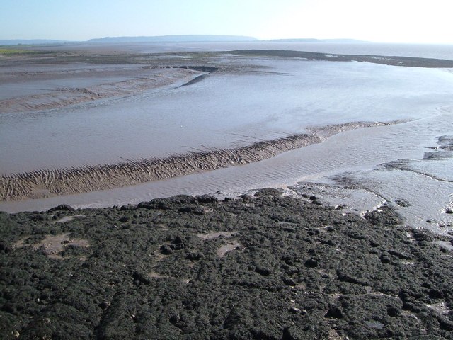
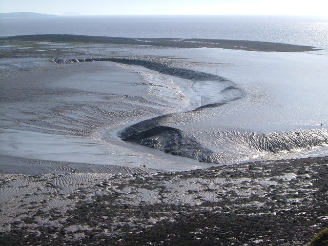
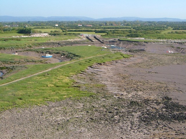
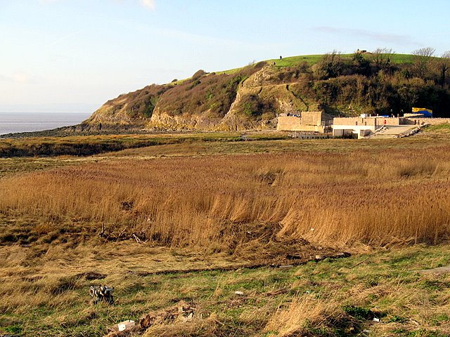
Wain's Hill is a prominent heritage site located in Somerset, England. Situated near the coastal town of Clevedon, this hill offers breathtaking panoramic views of the surrounding countryside and the Bristol Channel.
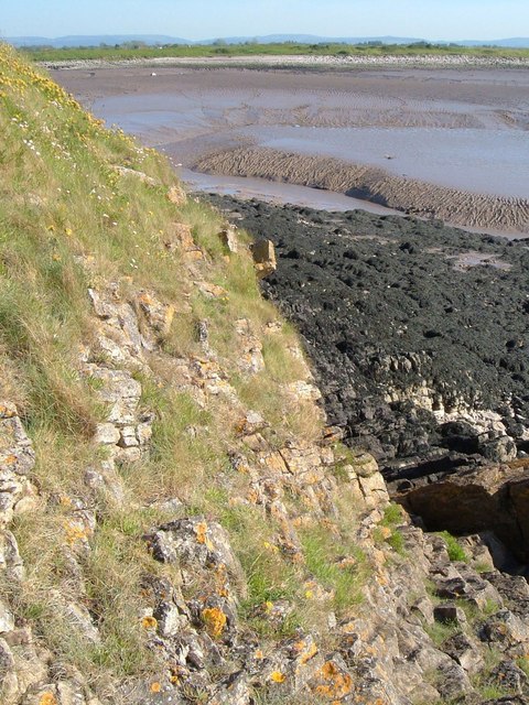
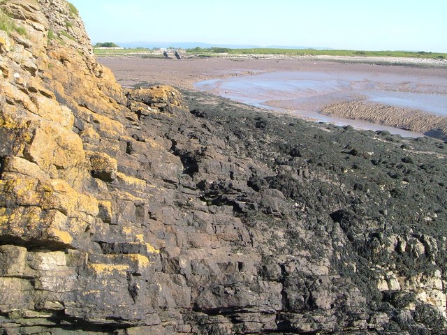
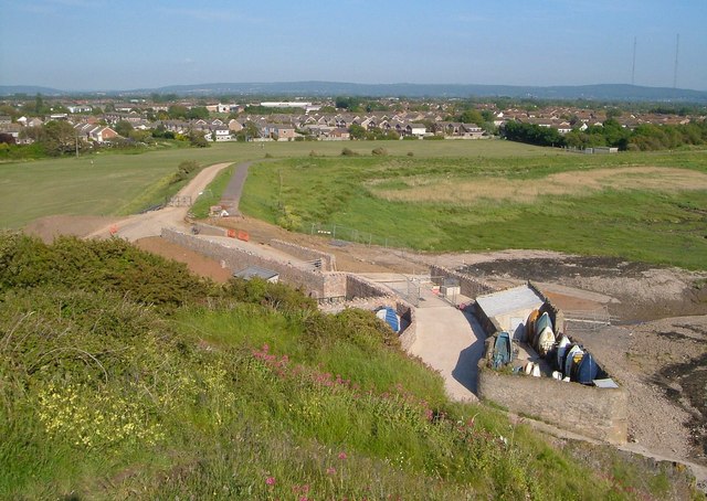
Covering an area of approximately 18 hectares, Wain's Hill is a designated Scheduled Ancient Monument due to its historical significance. The site is believed to have been inhabited since the Iron Age, with evidence of ancient settlements and fortifications dating back over 2,000 years. The hill is known for its well-preserved earthworks, including a series of ramparts and ditches that once served as defensive structures.
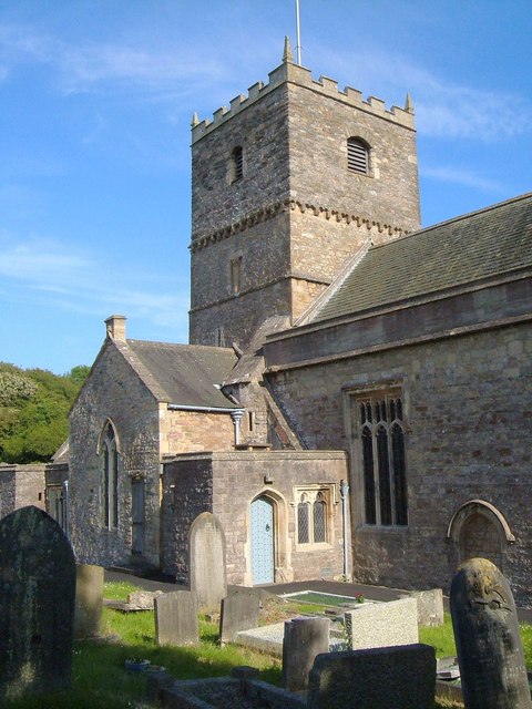
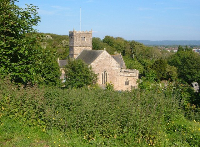
The summit of Wain's Hill is crowned by a stone structure known as the Wain's Hill Fort, which is thought to have been constructed during the Iron Age or Roman period. The fort offers visitors a glimpse into the region's rich history and provides a platform to admire the stunning views of Clevedon and the surrounding countryside.
In addition to its historical significance, Wain's Hill is also valued for its ecological importance. The site supports a diverse range of flora and fauna, including several rare and protected species. It is a popular spot for nature enthusiasts and birdwatchers, as it provides a habitat for a variety of bird species, such as kestrels and peregrine falcons.
Access to Wain's Hill is free, and there are several walking trails that allow visitors to explore the area at their own pace. The hill offers a unique combination of historical interest, natural beauty, and stunning views, making it a must-visit destination for both locals and tourists alike.
If you have any feedback on the listing, please let us know in the comments section below.
Wain's Hill Images
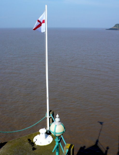
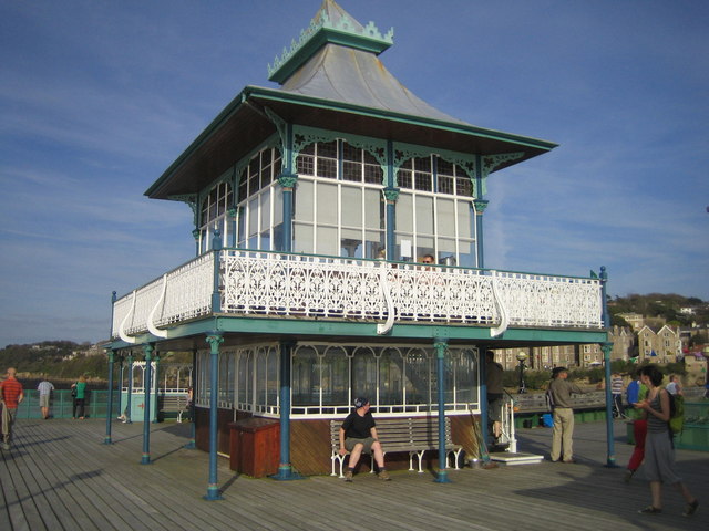
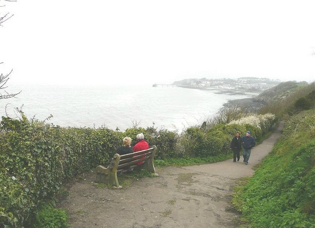
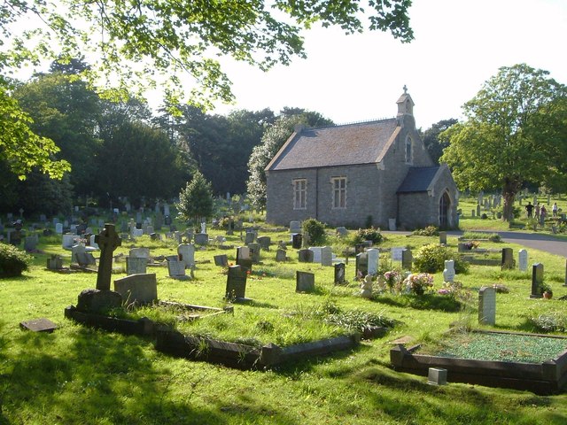
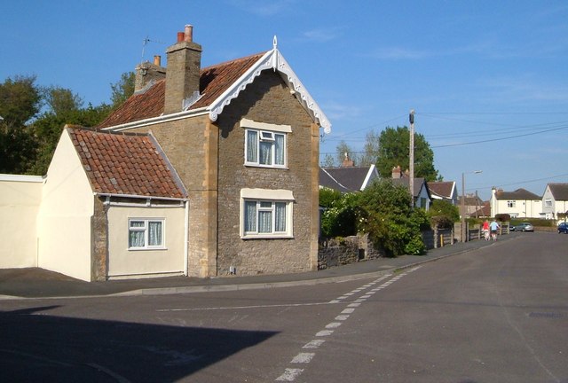
Images are sourced within 2km of 51.43/-2.87 or Grid Reference ST3970. Thanks to Geograph Open Source API. All images are credited.
Wain's Hill is located at Grid Ref: ST3970 (Lat: 51.43, Lng: -2.87)
Unitary Authority: North Somerset
Police Authority: Avon and Somerset
What 3 Words
///races.trail.lands. Near Clevedon, Somerset
Nearby Locations
Related Wikis

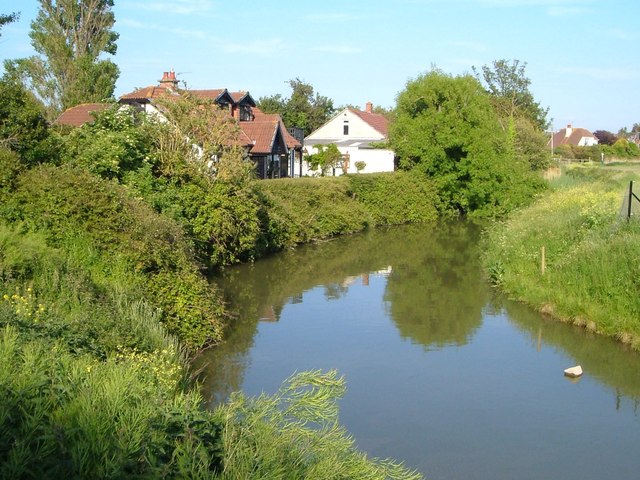
Land Yeo
The Land Yeo is a small river which flows through North Somerset, England. It rises on Dundry Hill and supplies Barrow Gurney Reservoirs before flowing...
Wain's Hill
Wain's Hill is an univallate Iron Age hill fort situated approximately 1 mile (1.6 km) south-west from the town of Clevedon in the North Somerset district...

Clevedon Hall
Clevedon Hall is a mansion with 17 acres (6.9 ha) of land in Clevedon, North Somerset, England. It is a Grade II* listed building. It is not to be confused...

Colehouse Lane railway station
Colehouse Lane railway station served the town of Clevedon, North Somerset, England, from 1897 to 1940 on the Weston, Clevedon and Portishead Railway....
Nearby Amenities
Located within 500m of 51.43,-2.87Have you been to Wain's Hill ?
Leave your review of Wain's Hill below (or comments, questions and feedback).