Ainscough's Covert
Wood, Forest in Lancashire West Lancashire
England
Ainscough's Covert
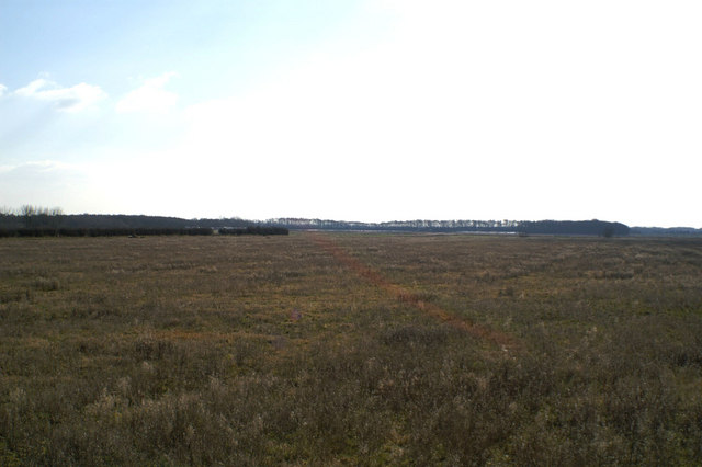
Ainscough's Covert is a woodland area located in the picturesque county of Lancashire, England. Covering an expansive area, it is known for its dense forest and lush vegetation. The woodland is situated in a secluded location, providing visitors with a peaceful and serene environment.
Ainscough's Covert is home to a variety of tree species, including oak, beech, and birch, which create a diverse and vibrant ecosystem. The forest floor is adorned with an array of wildflowers and ferns, adding to the natural beauty of the area. Walking through the woodland, visitors can enjoy the sights and sounds of various bird species, including woodpeckers and songbirds, as well as the occasional glimpse of smaller mammals such as squirrels and rabbits.
The woodland offers several well-maintained trails and footpaths that wind through the trees, providing visitors with opportunities for leisurely walks and hikes. Along these trails, there are occasional benches and picnic areas, allowing visitors to rest and soak in the tranquil atmosphere.
Ainscough's Covert is a popular destination for nature enthusiasts, families, and avid photographers. Its natural beauty and abundance of wildlife make it a prime location for capturing stunning photographs and exploring the great outdoors. The woodland is also a haven for budding botanists and birdwatchers, who can study the diverse plant and animal life that thrives within its boundaries.
In conclusion, Ainscough's Covert is a captivating woodland area in Lancashire that offers visitors a chance to immerse themselves in nature. With its dense forest, diverse flora and fauna, and well-maintained trails, it provides an ideal setting for relaxation, exploration, and appreciation of the natural world.
If you have any feedback on the listing, please let us know in the comments section below.
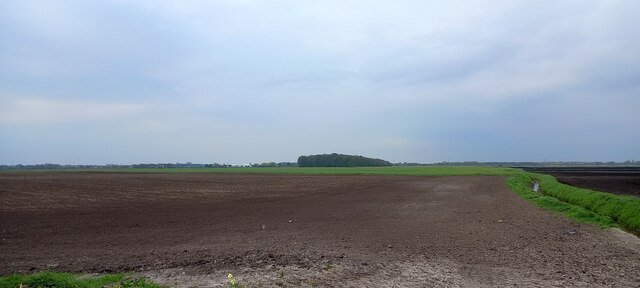
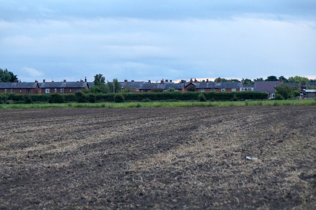
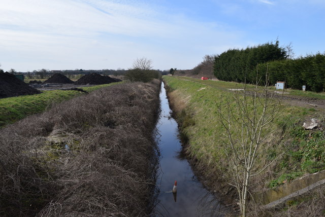
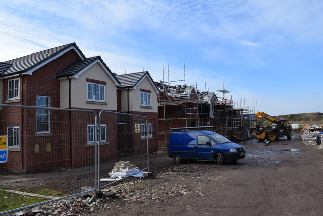
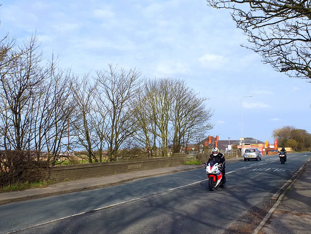
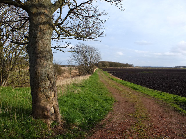
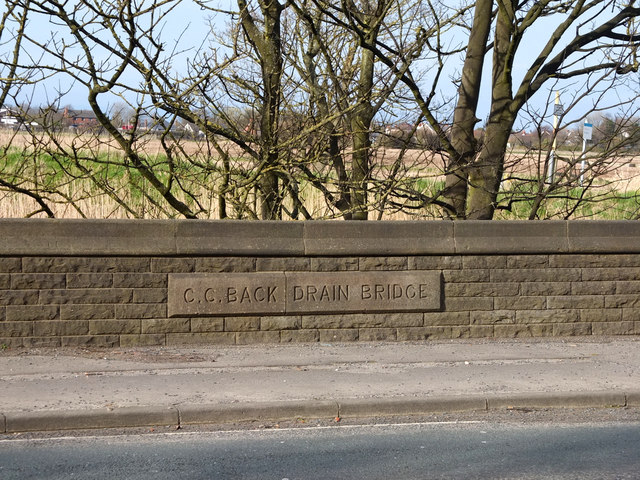
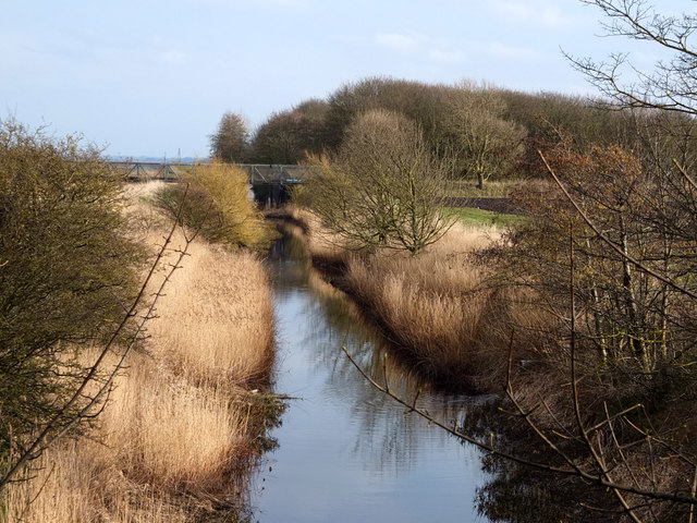
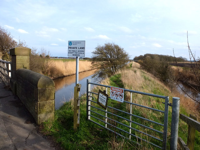
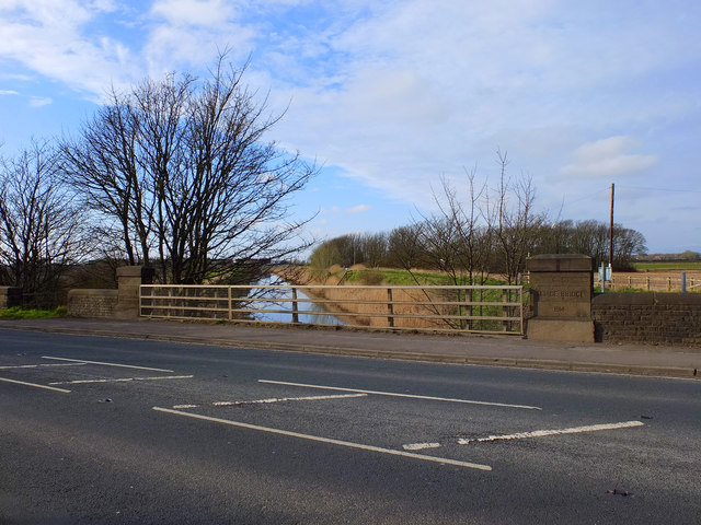
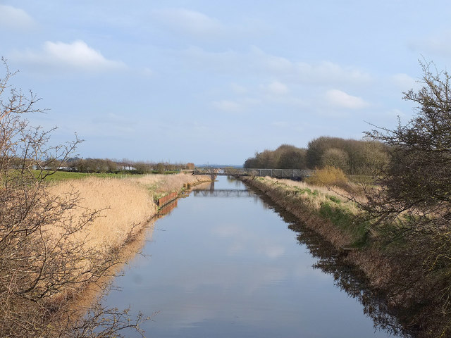
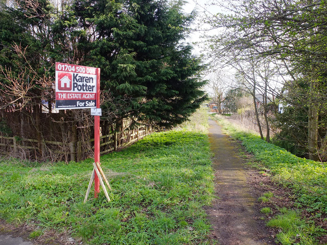
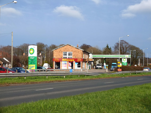
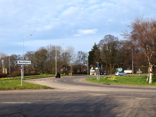
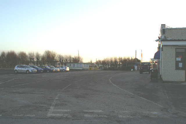
Ainscough's Covert Images
Images are sourced within 2km of 53.659875/-2.9241674 or Grid Reference SD3918. Thanks to Geograph Open Source API. All images are credited.
Ainscough's Covert is located at Grid Ref: SD3918 (Lat: 53.659875, Lng: -2.9241674)
Administrative County: Lancashire
District: West Lancashire
Police Authority: Lancashire
What 3 Words
///venue.snow.report. Near Banks, Lancashire
Nearby Locations
Related Wikis
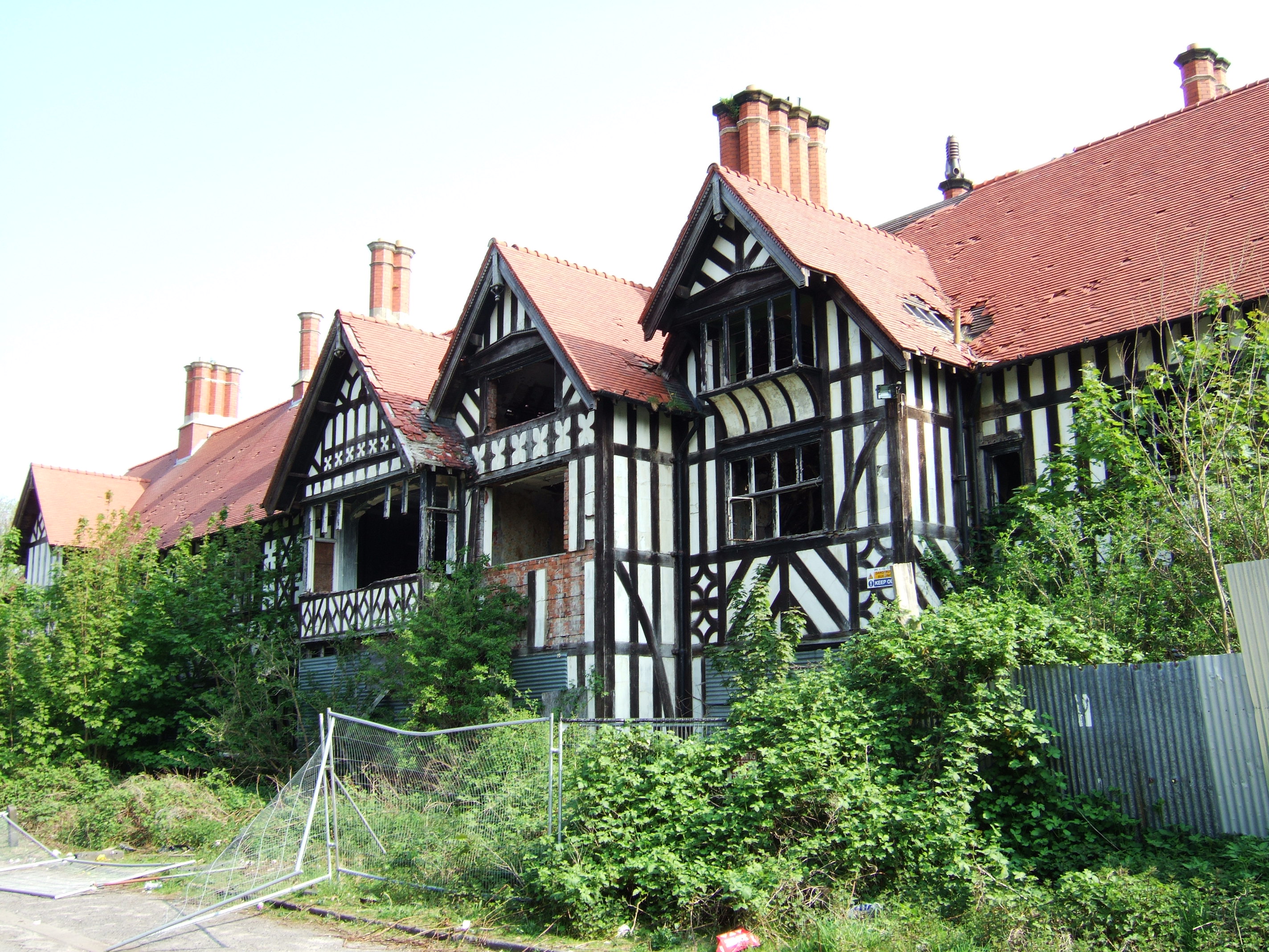
Greaves Hall
Greaves Hall was a country house on the outskirts of Banks in Lancashire, England, built in a Tudorbethan style for Thomas Talbot Leyland Scarisbrick in...

Crossens railway station
Crossens railway station was a railway station serving Crossens, a suburb of Southport, Sefton, Merseyside, England. == History == Located on the Lancashire...

Banks railway station
Banks railway station was on the West Lancashire Railway in England. It served the village of Banks near Southport. The station and line opened on 19 February...
Crossens
Crossens is the northernmost district of the town of Southport, Merseyside, England. Historically part of the ancient parish of North Meols and entirely...
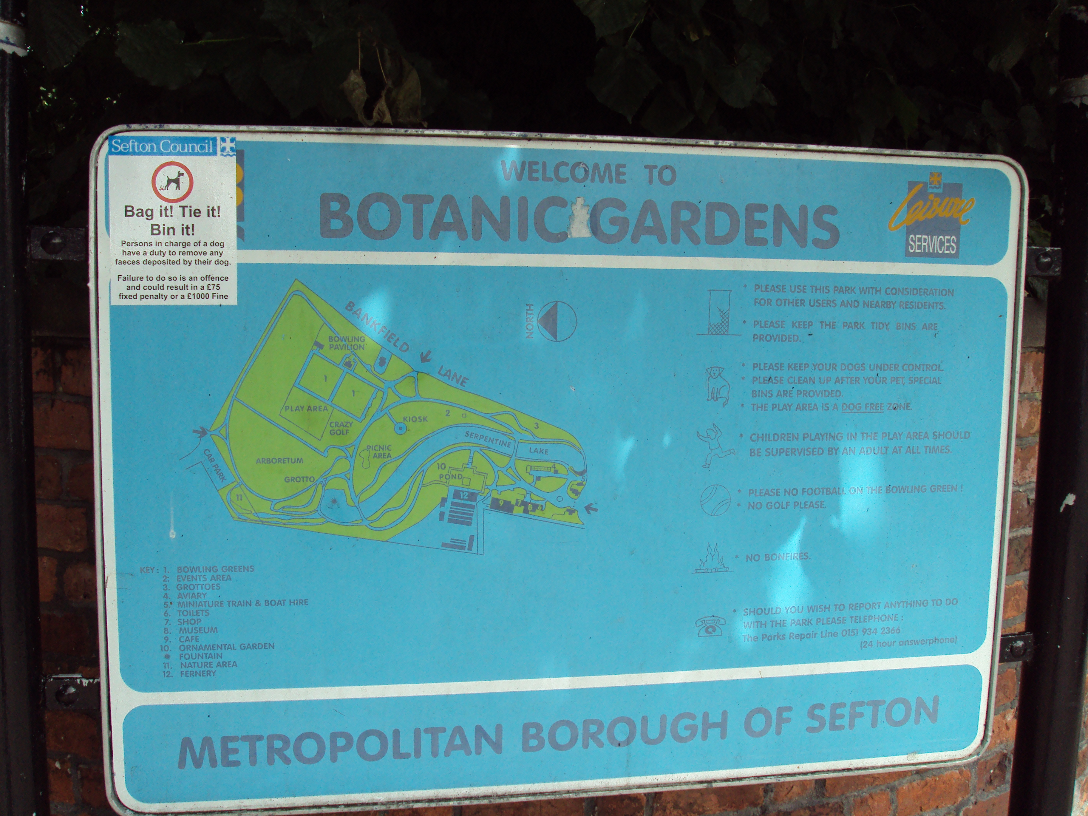
Southport Botanic Gardens
Southport Botanic Gardens is a botanical garden situated in the suburban village of Churchtown, Southport, in Merseyside, England. It is often called...
North Meols
North Meols () is a civil parish and electoral ward in the West Lancashire district of Lancashire, England. The parish covers the village of Banks and...

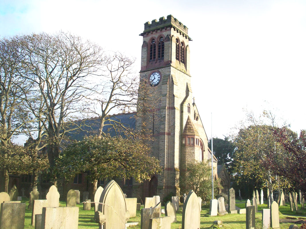
St Cuthbert's Church, Churchtown
St Cuthbert's Church is an Anglican church in Churchtown, Merseyside, a village that is now a suburb of Southport in the English county of Merseyside....
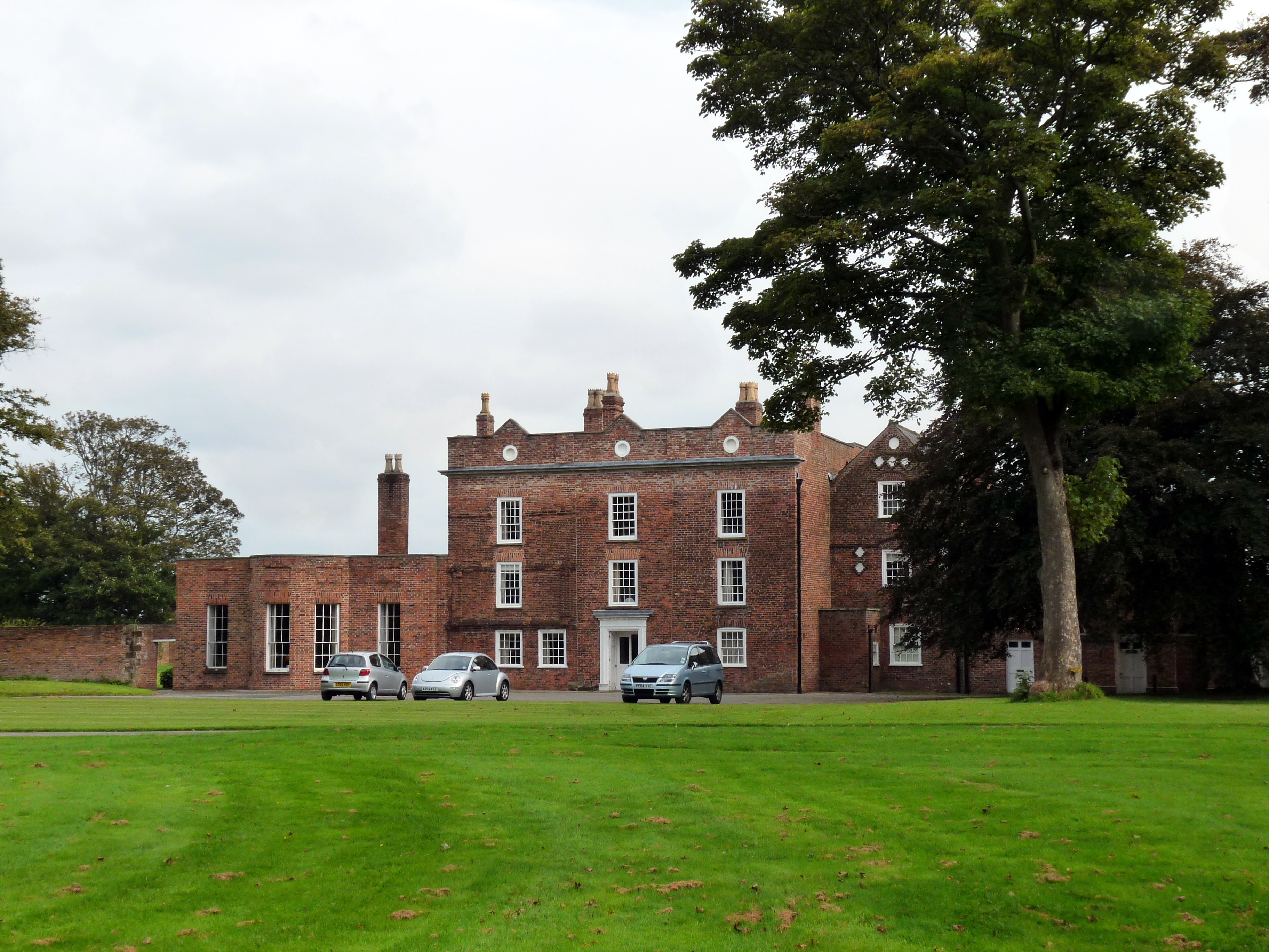
Meols Hall
Meols Hall is a historical manor house in Churchtown, Merseyside, dating from the 12th century with a 16th-century tithe barn restored for wedding receptions...
Nearby Amenities
Located within 500m of 53.659875,-2.9241674Have you been to Ainscough's Covert?
Leave your review of Ainscough's Covert below (or comments, questions and feedback).