Icehouse Plantation
Wood, Forest in Cheshire
England
Icehouse Plantation
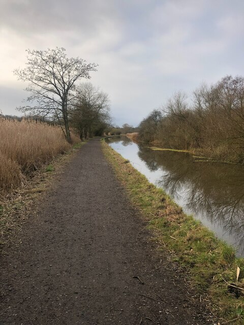
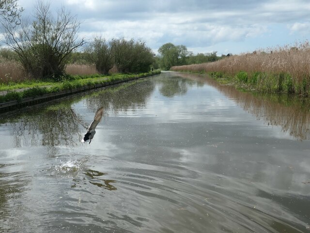
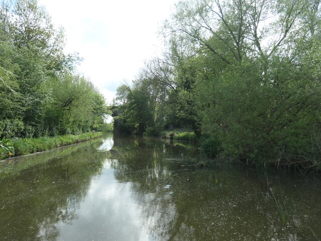
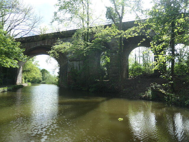
Icehouse Plantation is a picturesque woodland located in the charming county of Cheshire, England. Covering an expansive area, the plantation is renowned for its enchanting woodlands and lush greenery. Situated near the village of Cheshire, it offers a serene and tranquil escape for nature enthusiasts and outdoor enthusiasts alike.
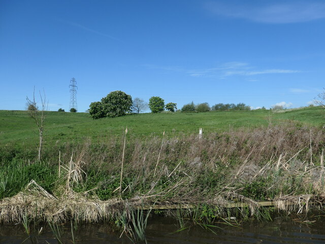
The plantation boasts a diverse range of tree species, including majestic oaks, towering beeches, and graceful birches, creating a rich and varied ecosystem. The dense woodland provides a habitat for numerous wildlife species, such as deer, foxes, and a variety of bird species, offering visitors the opportunity to observe and appreciate the region's natural beauty.
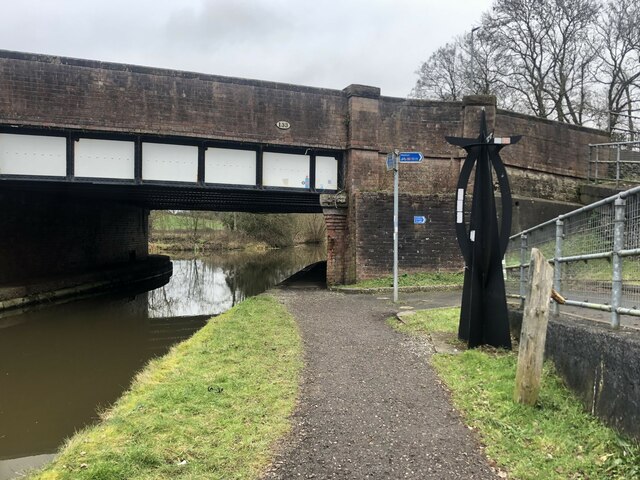
Visitors to Icehouse Plantation can explore its well-maintained trails and paths, which wind through the verdant forest, allowing for leisurely walks or invigorating hikes. The plantation also features a tranquil pond, where visitors can relax and enjoy the peaceful ambiance of the surroundings.
Additionally, Icehouse Plantation offers various amenities to enhance visitors' experiences, including picnic areas, benches, and information boards providing insights into the local flora and fauna. The plantation is open to the public year-round, with seasonal changes offering unique experiences throughout the year, from vibrant autumn foliage to colorful spring blooms.
Overall, Icehouse Plantation in Cheshire is a haven for nature lovers, providing a serene escape from the bustling city life. With its enchanting woodlands, diverse wildlife, and well-maintained trails, it offers a splendid opportunity to immerse oneself in the beauty of nature and enjoy a peaceful day in the captivating Cheshire countryside.
If you have any feedback on the listing, please let us know in the comments section below.
Icehouse Plantation Images
Images are sourced within 2km of 53.22762/-2.9149056 or Grid Reference SJ3970. Thanks to Geograph Open Source API. All images are credited.


Icehouse Plantation is located at Grid Ref: SJ3970 (Lat: 53.22762, Lng: -2.9149056)
Unitary Authority: Cheshire West and Chester
Police Authority: Cheshire
What 3 Words
///plank.exile.slimy. Near Mollington, Cheshire
Nearby Locations
Related Wikis

Mollington railway station
Mollington railway station was on the Chester and Birkenhead Railway near to the village of Mollington in Cheshire, England. The station opened on 23 September...

Lea-by-Backford
Lea-by-Backford is a hamlet and civil parish in the unitary authority of Cheshire West and Chester and the ceremonial county of Cheshire, England. It is...

Crabwall Manor
Crabwall Manor (original name Crabwall Hall) is a former country house, later a hotel, in the village of Mollington, Cheshire, England. The present building...

Moston, Cheshire West and Chester
Moston is a small village and civil parish in the unitary authority of Cheshire West and Chester and the ceremonial county of Cheshire, England. It is...
Dale Barracks
Dale Barracks is a British Army base at Moston near Chester, England. It is home to the 2nd Battalion, Royal Yorkshire Regiment. It is scheduled to close...

St Oswald's Church, Backford
St Oswald's Church is in the village of Backford, to the northwest of Chester, Cheshire, England, close to the A41 road and adjoining Backford Hall. It...
Backford Hall
Backford Hall is a country house in the village of Backford, Cheshire, England. It was built in the mid 19th Century on the site of earlier halls, and...

Backford
Backford is a village and civil parish in the unitary authority of Cheshire West and Chester and ceremonial county of Cheshire, England. It is situated...
Nearby Amenities
Located within 500m of 53.22762,-2.9149056Have you been to Icehouse Plantation?
Leave your review of Icehouse Plantation below (or comments, questions and feedback).