Wigtonroad Wood
Wood, Forest in Cumberland Eden
England
Wigtonroad Wood
Wigtonroad Wood is a picturesque forest located in the county of Cumberland, in the northwestern part of England. Spanning over a vast area of land, this woodland is known for its diverse flora and fauna, making it a popular destination for nature enthusiasts and hikers alike.
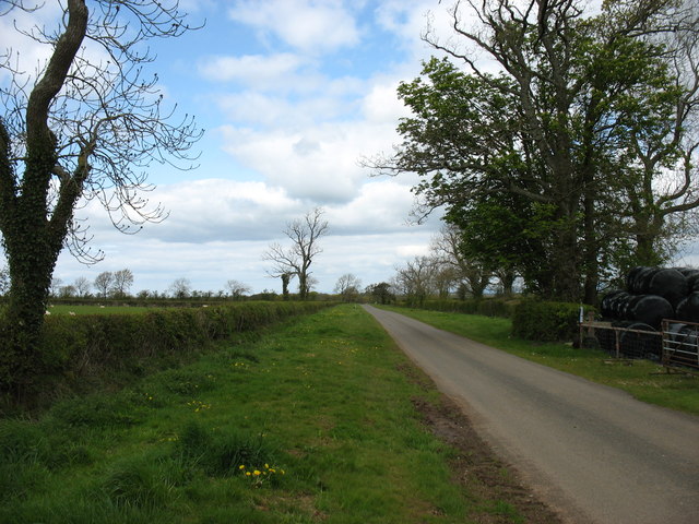
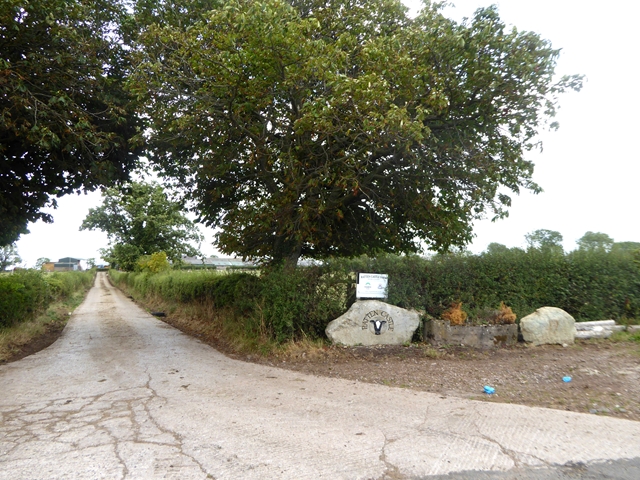
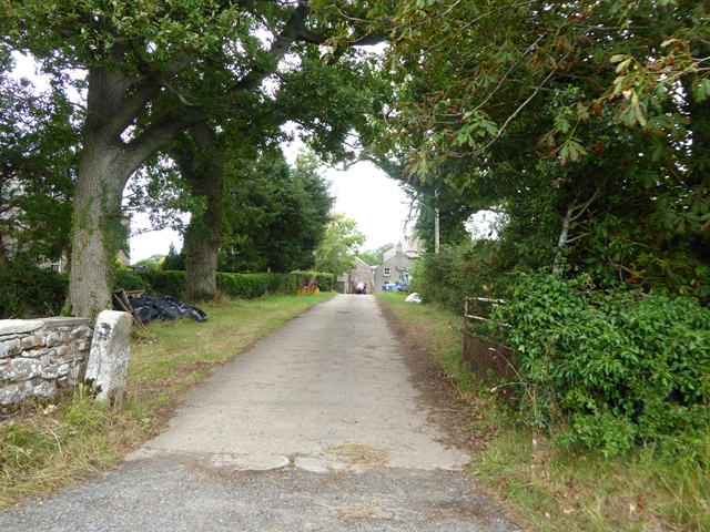
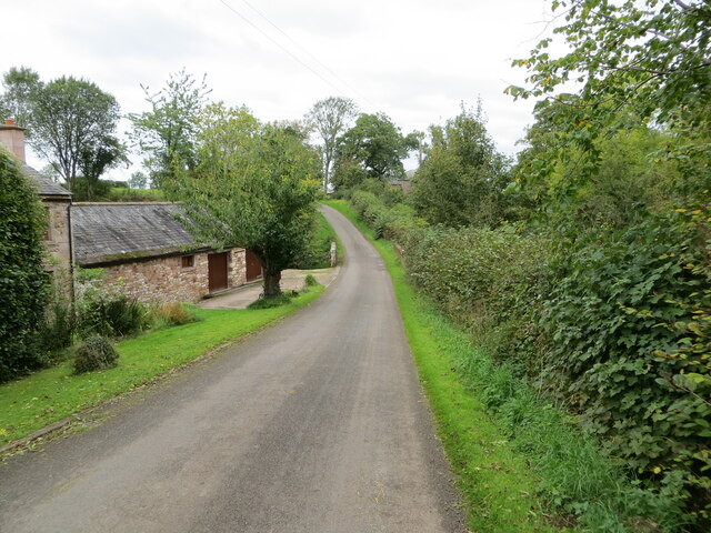
The forest is situated just off the Wigton Road, a major thoroughfare that connects the nearby towns and villages. Its convenient location makes it easily accessible to both locals and tourists visiting the area. The woodland is primarily composed of a mixture of deciduous and coniferous trees, creating a rich and varied ecosystem.
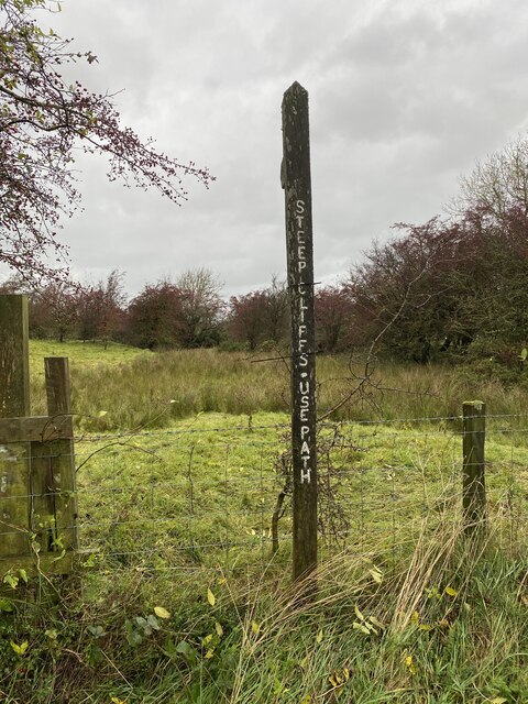
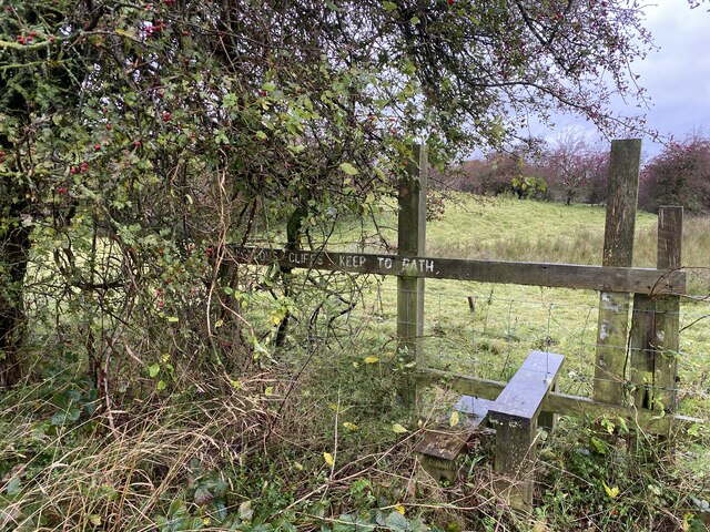
One of the prominent features of Wigtonroad Wood is its well-maintained network of walking trails, which wind through the forest, providing visitors with an opportunity to explore its natural beauty. These trails vary in difficulty, catering to both experienced hikers and casual walkers, ensuring there is something for everyone.
Wildlife enthusiasts will delight in the abundance of animal species that call this woodland home. From deer and squirrels to a wide variety of birds, the forest offers a chance to observe and appreciate the local wildlife in its natural habitat.
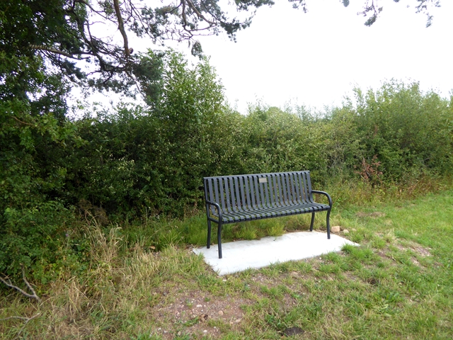
Additionally, Wigtonroad Wood offers various amenities to enhance visitors' experience. Picnic areas with benches and tables are strategically placed throughout the forest, allowing visitors to enjoy a meal amidst the tranquility of nature. There are also designated areas for camping, providing an opportunity for overnight stays and a chance to truly immerse oneself in the forest's beauty.
In conclusion, Wigtonroad Wood is a captivating woodland in Cumberland, England, offering stunning scenery, an array of walking trails, and abundant wildlife. Whether visitors are seeking adventure, relaxation, or a closer connection with nature, this forest provides an ideal setting for an unforgettable experience.
If you have any feedback on the listing, please let us know in the comments section below.
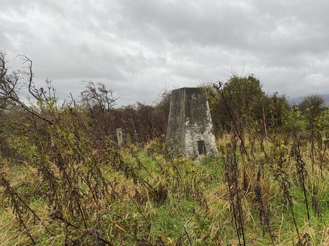
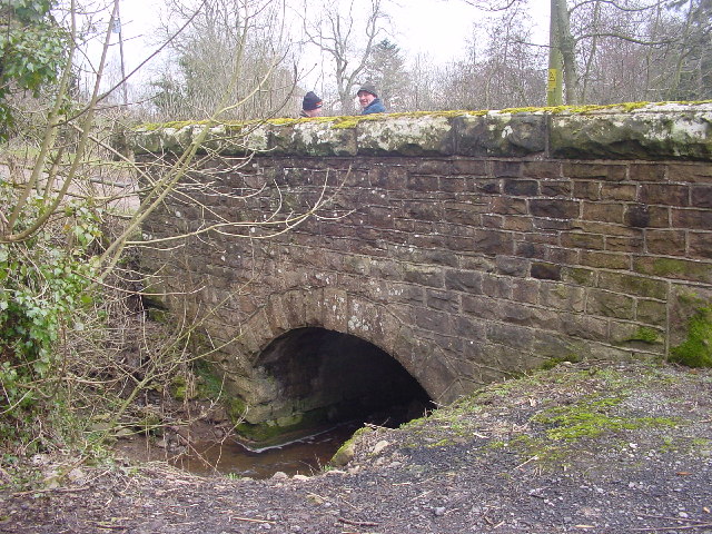
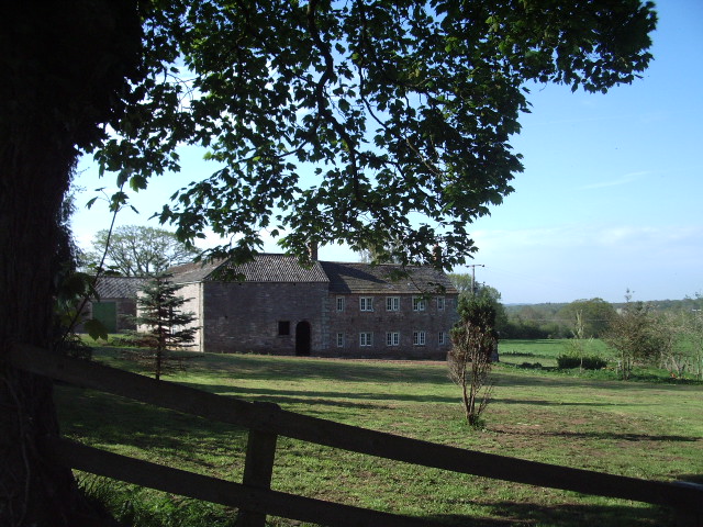
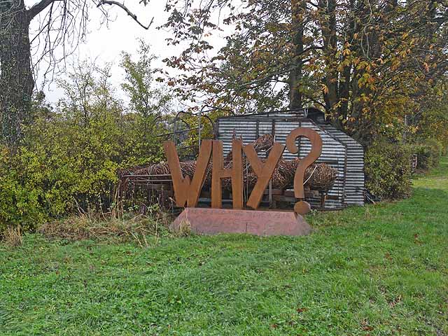
Wigtonroad Wood Images
Images are sourced within 2km of 54.74241/-2.9486372 or Grid Reference NY3939. Thanks to Geograph Open Source API. All images are credited.


Wigtonroad Wood is located at Grid Ref: NY3939 (Lat: 54.74241, Lng: -2.9486372)
Administrative County: Cumbria
District: Eden
Police Authority: Cumbria
What 3 Words
///perky.caressing.multiple. Near Dalston, Cumbria
Nearby Locations
Related Wikis

Castle Sowerby
Castle Sowerby is a civil parish in the Eden District of Cumbria, England. In 2001 it had a population of 337, increasing to 344 at the 2011 Census, and...

Middlesceugh
Middlesceugh is a hamlet in the civil parish of Skelton, in the Eden district, in the county of Cumbria, England. Middlesceugh has a SSSI called Middlesceugh...

Haltcliff Bridge
Haltcliff Bridge or Haltcliffe Bridge is a hamlet on the River Caldew, in the civil parish of Mungrisdale in the county of Cumbria, England. The spelling...

Cumberland
Cumberland ( KUM-bər-lənd) is a historic county in North West England, covering part of the Lake District as well as the northern Pennines and the coast...

Lamonby
Lamonby is an agricultural hamlet in the Eden district, in the county of Cumbria, England, about 2 km from the edge of the Lake District National Park...

Sebergham
Sebergham is a small village and civil parish in the English county of Cumbria. It is located on the B5305, south of Carlisle and south-east of Wigton...

High Head Castle
High Head Castle is a large fortified manor house in the English county of Cumbria. It is located between Carlisle and Penrith. The house is now largely...
River Ive
The River Ive is a river in the county of Cumbria, England. The Ive rises near the settlement of Hutton End and flows north-north-west, through Ivegill...
Nearby Amenities
Located within 500m of 54.74241,-2.9486372Have you been to Wigtonroad Wood?
Leave your review of Wigtonroad Wood below (or comments, questions and feedback).