Apeton

Settlement in Staffordshire Stafford

England

Apeton

Church of St Edith Benchmark The OS Cut Benchmark within the tower of the Church of St Edith, Church Eaton, Staffordshire. It was last levelled by the OS in 1961. What3Words = responded.sprinkle.tidy
Church of St Edith Benchmark Credit: Anthony Rowley

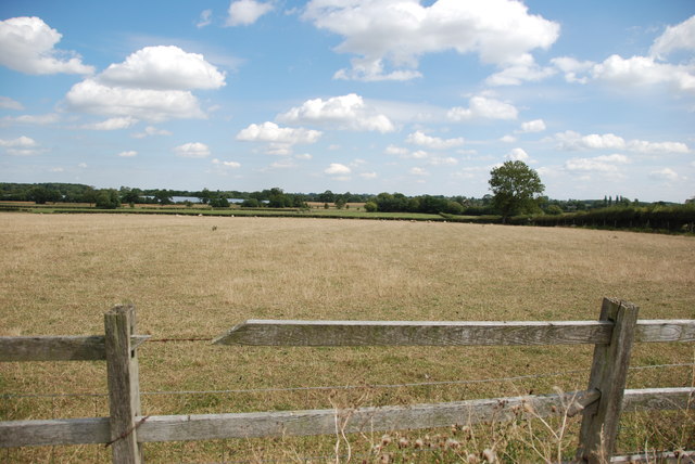
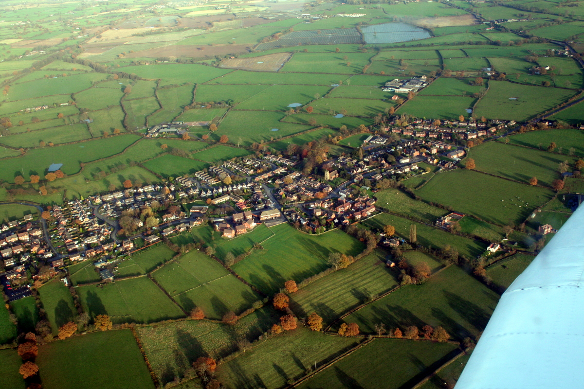
Apeton is a small village located in the county of Staffordshire, England. Situated approximately 4 miles east of Stafford, the village is nestled in a rural area surrounded by picturesque countryside.

With a population of around 500 residents, Apeton is known for its peaceful and tranquil atmosphere. The village is characterized by charming cottages and traditional architecture, reflecting its rich history dating back to medieval times. The village church, St. John the Baptist, stands as a prominent landmark and is a testament to Apeton's historical significance.

Apeton offers a range of amenities to its residents, including a primary school, a village hall, and a local pub. The village also benefits from its proximity to the larger town of Stafford, which provides additional services such as supermarkets, shops, and leisure facilities.

Nature lovers will be delighted to explore the surrounding countryside, with numerous walking and cycling paths offering breathtaking views of the Staffordshire landscape. The nearby Shugborough Estate, a National Trust property, is a popular attraction for visitors and residents alike, offering beautiful gardens, a mansion, and extensive parkland to explore.

Apeton's location provides convenient access to major road networks, including the A518 and A51, making it an ideal base for commuters and those looking to explore the wider region. The village's peaceful environment, combined with its close proximity to amenities and natural beauty, makes Apeton an attractive place to live for those seeking a tranquil rural lifestyle.

If you have any feedback on the listing, please let us know in the comments section below.
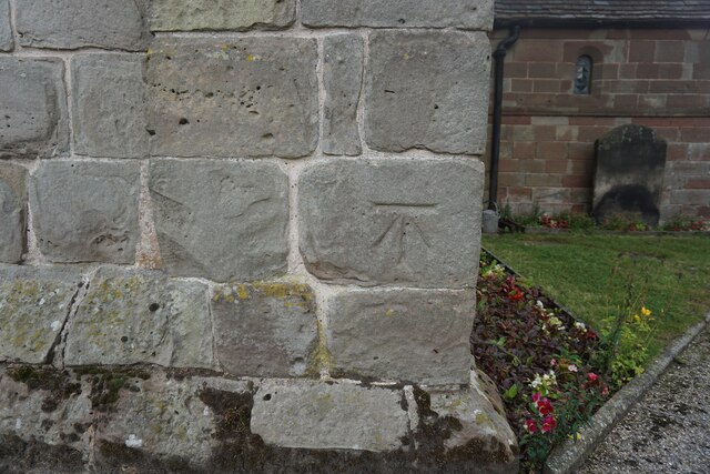
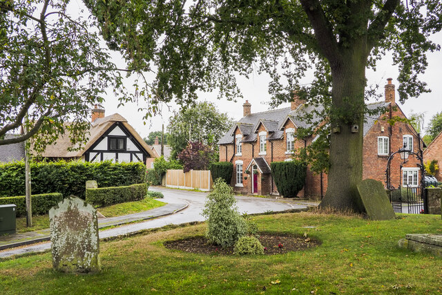
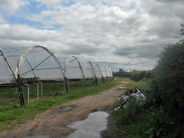
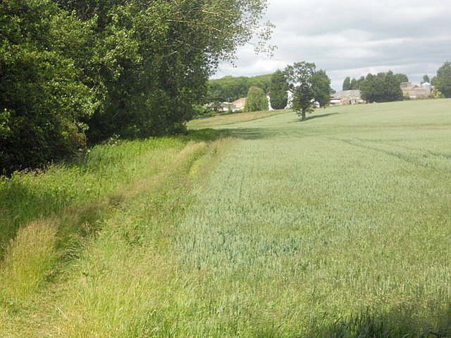
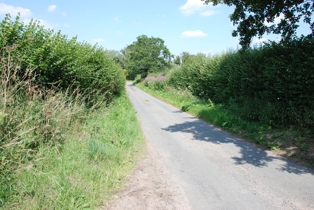
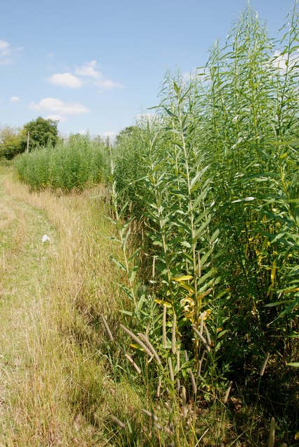
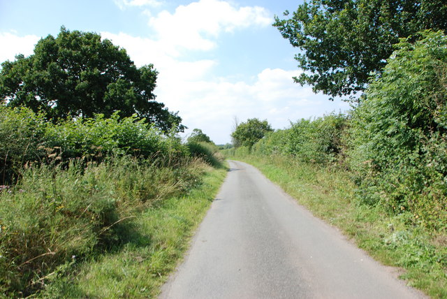
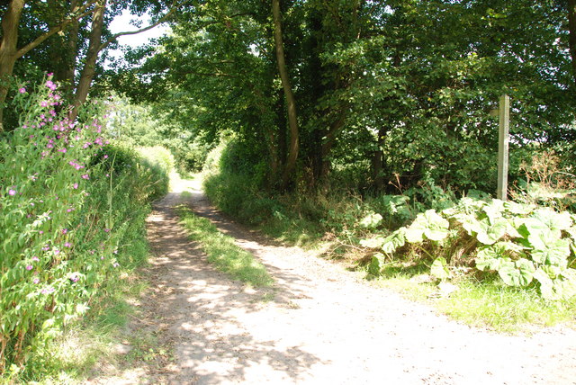
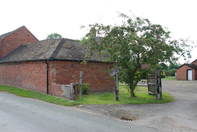
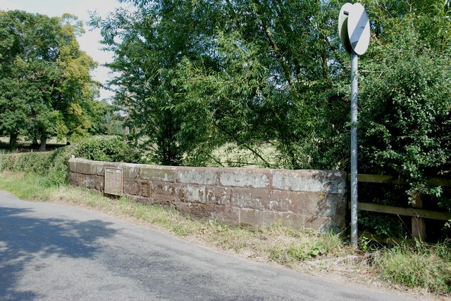
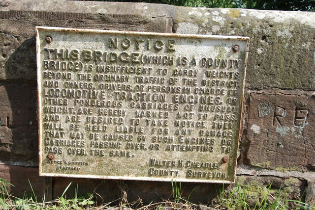
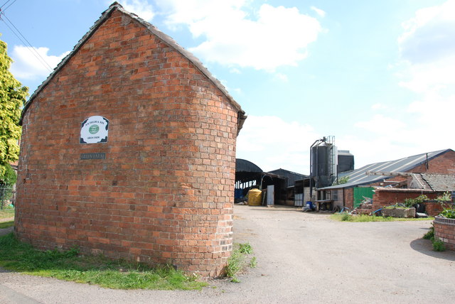
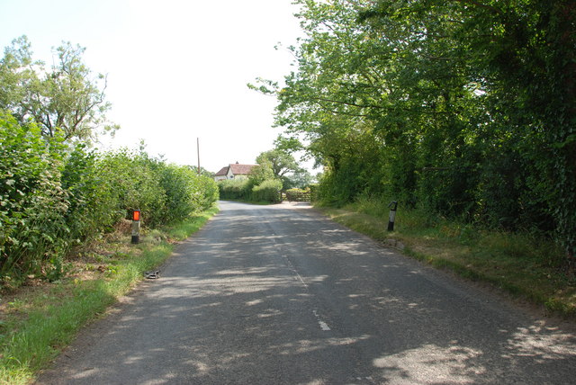
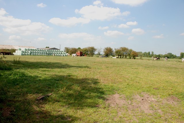
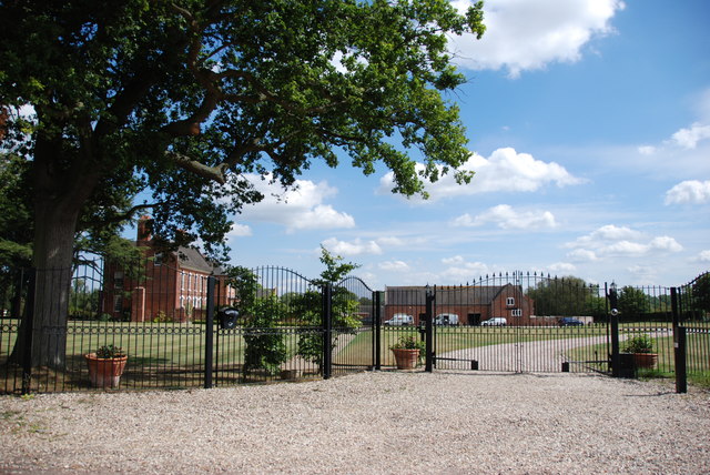
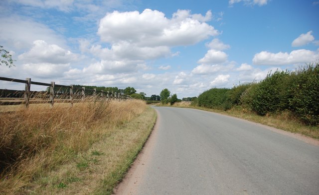
Apeton Images

Images are sourced within 2km of 52.761174/-2.221512 or Grid Reference SJ8518. Thanks to Geograph Open Source API. All images are credited.

Church of St Edith Benchmark The OS Cut Benchmark within the tower of the Church of St Edith, Church Eaton, Staffordshire. It was last levelled by the OS in 1961. What3Words = responded.sprinkle.tidy
Church of St Edith Benchmark
The OS Cut Benchmark within the tower of the Church of St Edith, Church Eaton, Staffordshire. It was last levelled by the OS in 1961. What3Words = responded.sprinkle.tidy
Road bend in Church Eaton A bend on the High Street of the small village of Church Eaton. The view is from the graveyard of St. Editha's Church.
Road bend in Church Eaton
A bend on the High Street of the small village of Church Eaton. The view is from the graveyard of St. Editha's Church.
Allimore Green sewage works
A field full of polytunnels
Field boundary and Lower Reule Farm
Alstone Lane, near Haughton This is quite a narrow lane, fortunately I picked better weather than John M.
Alstone Lane, near Haughton
This is quite a narrow lane, fortunately I picked better weather than John M.
Willow Shoots growing in Rows In this area there is considerable acreage of Willow plantations. The willow has been planted and allowed to grow, then cut off and loads of shoots have struck from the stumps, as can be seen. I wonder if they are used for basket making and craft work. Another example of a Farmer looking for more profitable crops, this area is quite wet so should suit the Willow.
Willow Shoots growing in Rows
In this area there is considerable acreage of Willow plantations. The willow has been planted and allowed to grow, then cut off and loads of shoots have struck from the stumps, as can be seen. I wonder if they are used for basket making and craft work. Another example of a Farmer looking for more profitable crops, this area is quite wet so should suit the Willow.
Road from Bradley to Apeton
Track and Footpath near Apeton Brook and Ford
Entrance to Hough Farm
Bridge on Apeton to Church Eaton Road There is an old  weight limit on this Bridge.
Bridge on Apeton to Church Eaton Road
There is an old weight limit on this Bridge.
Notice on Bridge Do not go over this bridge if you are on a traction engine or ponderous carriage of unusual weight, if you do and the bridge breaks you will have to pay to get it repaired.    See "Bridge on Apeton to Church Eaton Road"
Notice on Bridge
Do not go over this bridge if you are on a traction engine or ponderous carriage of unusual weight, if you do and the bridge breaks you will have to pay to get it repaired. See "Bridge on Apeton to Church Eaton Road"
Green Farm, Church Eaton Green The end of this barn has been built with rounded corners, which I have never seen before.
Green Farm, Church Eaton Green
The end of this barn has been built with rounded corners, which I have never seen before.
Lane from Church Eaton Green
Cows and Silage, Green Farm from Woollaston Lane
Through Gates to Large Mansion This House is just outside Church Eaton, on the Church Eaton Green road.
Through Gates to Large Mansion
This House is just outside Church Eaton, on the Church Eaton Green road.
Long and Winding Road This is the road leaving Church Eaton, heading towards Gnosall Heath
Long and Winding Road
This is the road leaving Church Eaton, heading towards Gnosall Heath
Across Pastureland Towards Apeton The light coloured area in the distance, are Poly-tunnels near Apeton.
Across Pastureland Towards Apeton
The light coloured area in the distance, are Poly-tunnels near Apeton.
Show me another place!

Apeton is located at Grid Ref: SJ8518 (Lat: 52.761174, Lng: -2.221512)

Administrative County: Staffordshire

District: Stafford

Police Authority: Staffordshire

What 3 Words

///slippery.dizziness.less. Near Gnosall, Staffordshire

Nearby Locations

Alstone Gorse Apeton

Related Wikis

Apeton

Apeton is a hamlet in Staffordshire in the West Midlands region of England. It is located 5+1⁄2 miles (8.9 km) southwest of Stafford, in the civil parish...

Allimore Green

Allimore Green is a small hamlet in Staffordshire, England, 1 mile north-east of Church Eaton. It is the location of a Site of Special Scientific Interest...

Church Eaton

Church Eaton is a village and civil parish in Staffordshire some 6 miles (10 km) southwest of Stafford, 6 miles (10 km) northwest of Penkridge and 4 miles...

Brazenhill

Brazenhill is rural area immediately north of the village of Haughton in Staffordshire, England. It is effectively defined by Brazenhill Lane which is...

Haughton, Staffordshire

Haughton is a village in Staffordshire, England, approximately 4 miles outside and to the west of the county town of Stafford. It lies on the A518 between...

Bradley, Staffordshire

Bradley is a village and civil parish in Staffordshire, England. The population of the civil parish at the 2011 census was 513. It is located close to...

Little Onn

Little Onn is a hamlet in Staffordshire, England located in open countryside 1 mile (2 km) north of Wheaton Aston. It is the location of the former Second...

High Onn

High Onn is a hamlet near the village of Wheaton Aston, in the English county of Staffordshire. == See also == Listed buildings in Church Eaton == References... ==

Related Videos

The Red Lion Pub Walk - Bradley, Staffordshire

This is the first in what will be a series of short walk based around pubs or cafes. This is a 3.5 mile loop starting and finishing at the ...

Nearby Amenities

Located within 500m of 52.761174,-2.221512
Ford: yes
Source: OS_OpenData_StreetView
Lat/Long: 52.7615172/-2.2181569
The data included in this document is from www.openstreetmap.org. The data is made available under ODbL.

Have you been to Apeton?

Leave your review of Apeton below (or comments, questions and feedback).