Acres Wood
Wood, Forest in Cheshire
England
Acres Wood
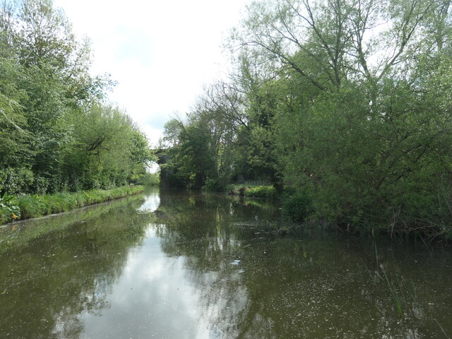
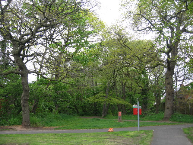
Acres Wood is a picturesque woodland located in Cheshire, England. Covering an area of approximately 100 acres, it is a popular destination for nature enthusiasts, hikers, and families looking to enjoy the great outdoors.
The wood is primarily composed of a variety of broadleaf trees, including oak, beech, and birch, which provide a vibrant and diverse landscape throughout the year. The dense canopy created by these trees offers shade and shelter, making it a perfect spot for a leisurely stroll on a warm summer's day.
Acres Wood is home to a rich array of wildlife, including various species of birds, squirrels, and rabbits. Visitors may also catch glimpses of deer and foxes, further adding to the enchanting atmosphere of the wood.
The woodland is crisscrossed with a network of footpaths, enabling visitors to explore its natural beauty at their own pace. There are also several picnic areas and benches strategically placed throughout the wood, providing an opportunity to relax and take in the tranquility of the surroundings.
Acres Wood is open to the public throughout the year, free of charge. It is well-maintained, with regular upkeep and conservation efforts by local authorities to preserve its ecological value. The wood also has a dedicated parking area and public facilities, ensuring convenience for visitors.
In summary, Acres Wood is a charming woodland in Cheshire that offers a delightful escape into nature. With its diverse flora and fauna, well-marked footpaths, and serene atmosphere, it is an ideal destination for those seeking solace and a connection with the natural world.
If you have any feedback on the listing, please let us know in the comments section below.
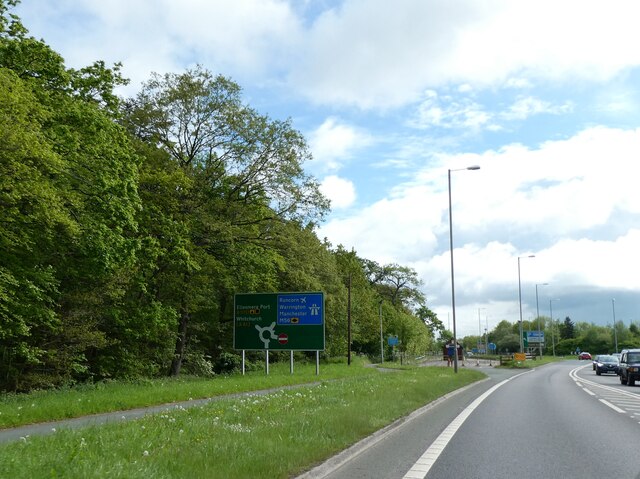
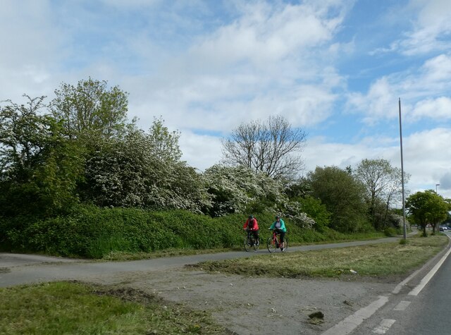
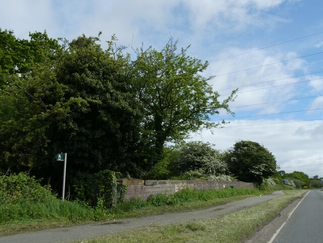
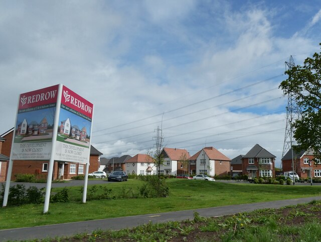
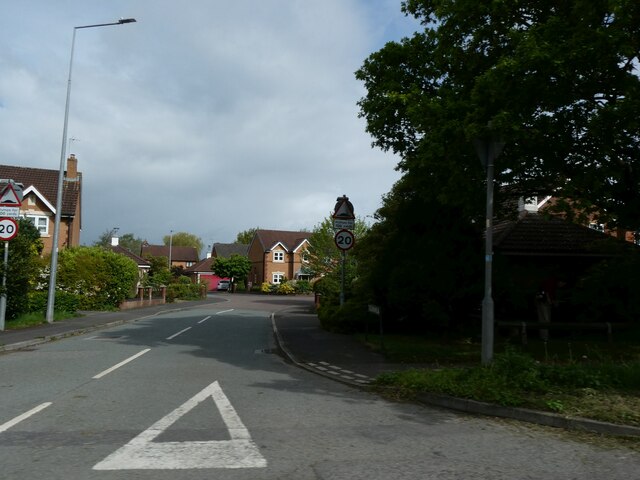
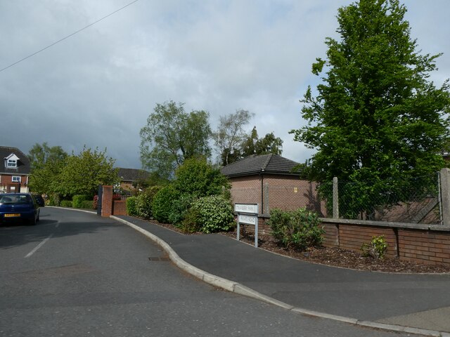
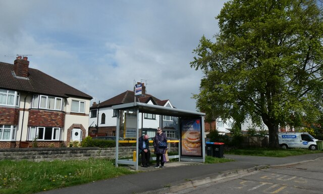
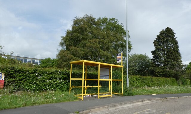
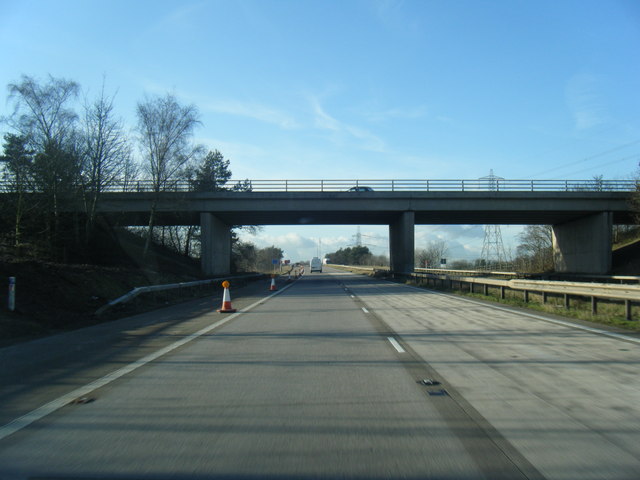
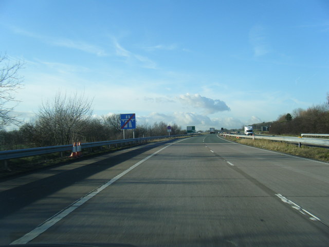
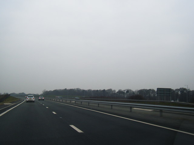
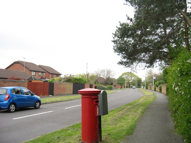
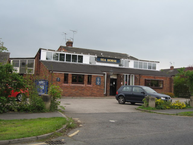
Acres Wood Images
Images are sourced within 2km of 53.246472/-2.9169863 or Grid Reference SJ3872. Thanks to Geograph Open Source API. All images are credited.
Acres Wood is located at Grid Ref: SJ3872 (Lat: 53.246472, Lng: -2.9169863)
Unitary Authority: Cheshire West and Chester
Police Authority: Cheshire
What 3 Words
///yard.burst.secret. Near Mollington, Cheshire
Nearby Locations
Related Wikis

Backford
Backford is a village and civil parish in the unitary authority of Cheshire West and Chester and ceremonial county of Cheshire, England. It is situated...

Backford Hall
Backford Hall is a country house in the village of Backford, Cheshire, England. It was built in the mid 19th Century on the site of earlier halls, and...

St Oswald's Church, Backford
St Oswald's Church is in the village of Backford, to the northwest of Chester, Cheshire, England, close to the A41 road and adjoining Backford Hall. It...
Strawberry Park, Cheshire
Strawberry Park and Strawberry Fields are suburbs in the town of Ellesmere Port, Cheshire West and Chester. They are located to the south of Hope Farm...

Backford Cross
Backford Cross is a suburban locality of Ellesmere Port, within the unitary authority of Cheshire West and Chester, Cheshire, England. It is located at...

Lea-by-Backford
Lea-by-Backford is a hamlet and civil parish in the unitary authority of Cheshire West and Chester and the ceremonial county of Cheshire, England. It is...
Mollington railway station
Mollington railway station was on the Chester and Birkenhead Railway near to the village of Mollington in Cheshire, England. The station opened on 23 September...

Chorlton-by-Backford
Chorlton-by-Backford is a former civil parish in the Borough of Cheshire West and Chester and ceremonial county of Cheshire, England, approximately 3 mi...
Nearby Amenities
Located within 500m of 53.246472,-2.9169863Have you been to Acres Wood?
Leave your review of Acres Wood below (or comments, questions and feedback).