Causeway Coppice
Wood, Forest in Dorset
England
Causeway Coppice

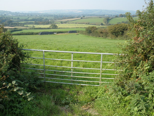
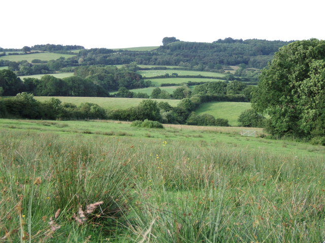
Causeway Coppice is a picturesque woodland located in the county of Dorset, England. Extending over an area of approximately 50 acres, it is a popular destination for nature enthusiasts and outdoor lovers. The coppice is situated near the town of Shaftesbury, nestled within the rolling hills and lush green countryside that characterizes the region.
The woodland boasts a diverse range of tree species, including oak, ash, beech, and hazel, creating a rich and vibrant ecosystem. The dense canopy provides shade and shelter for a variety of wildlife, making it an ideal habitat for birds, small mammals, and insects. Visitors to Causeway Coppice can often spot species such as woodpeckers, deer, and foxes.
Traversing through the woodland, visitors will find a network of well-maintained footpaths and trails, allowing for easy exploration of the area. These paths lead to various points of interest, including a tranquil pond and a small stream that meanders its way through the woods. The peaceful atmosphere and natural beauty of Causeway Coppice make it a perfect location for those seeking a quiet retreat or an opportunity to connect with nature.
Furthermore, the coppice offers ample opportunities for recreational activities such as walking, jogging, and birdwatching. Picnic spots are scattered throughout the woodland, providing visitors with the chance to relax and enjoy a meal amidst the serene surroundings. The management of the coppice ensures that it remains a protected area, allowing for the preservation of its natural beauty and ecological significance.
Overall, Causeway Coppice in Dorset is a captivating woodland that offers a haven of tranquility and natural splendor. With its diverse range of flora and fauna, well-maintained trails, and peaceful ambiance, it is a must-visit destination for nature enthusiasts and those seeking respite from the hustle and bustle of everyday life.
If you have any feedback on the listing, please let us know in the comments section below.
Causeway Coppice Images
Images are sourced within 2km of 50.825361/-2.8688018 or Grid Reference ST3803. Thanks to Geograph Open Source API. All images are credited.


Causeway Coppice is located at Grid Ref: ST3803 (Lat: 50.825361, Lng: -2.8688018)
Unitary Authority: Dorset
Police Authority: Dorset
What 3 Words
///loud.condensed.runs. Near Crewkerne, Somerset
Nearby Locations
Related Wikis

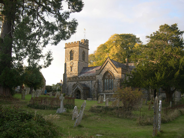
Holy Trinity Church, Blackdown
Holy Trinity Church is a Church of England church in Blackdown, Dorset, England. The church was designed by Edward Ledger Bracebridge and built in 1839...
Blackdown Hill, Dorset
Blackdown Hill is a prominent elevation, 215 metres (705 ft) high, 5 miles (8.0 km) south west of the town of Crewkerne, in the county of Dorset in the...
Blackdown, Dorset
Blackdown is a small village in western Dorset, England; situated 7 miles (11 km) west of Beaminster. With the creation of the new Dorset Council, Blackdown...
Thorncombe
Thorncombe is a village and civil parish in the English county of Dorset. It was historically, until 1844, an exclave of Devon. It lies five miles (8...
Payne's Down
Payne's Down is a prominent hill, 211 metres (692 ft) high, some 10 kilometres east-northeast of Axminster and 1 kilometre northwest of Birdsmoorgate,...

Pilsdon Pen
Pilsdon Pen is a 277-metre (909 ft) hill in Dorset in South West England, situated at the north end of the Marshwood Vale, approximately 4.5 miles (7.2...

Burstock
Burstock is a village and civil parish in west Dorset, England, 5 miles (8.0 km) south of Crewkerne. In the 2011 census the parish had 59 dwellings, 49...

Netherhay Methodist Chapel
Netherhay Methodist Chapel is a Methodist Chapel in Netherhay, near Drimpton, West Dorset, England. The chapel remains active as part of the South Petherton...
Nearby Amenities
Located within 500m of 50.825361,-2.8688018Have you been to Causeway Coppice?
Leave your review of Causeway Coppice below (or comments, questions and feedback).