Lea-by-Backford
Civil Parish in Cheshire
England
Lea-by-Backford
Lea-by-Backford is a civil parish located in the county of Cheshire, England. It is situated about 6 miles north-west of the city of Chester, and is part of the borough of Cheshire West and Chester. The parish covers an area of approximately 5.5 square miles and has a population of around 500 people.
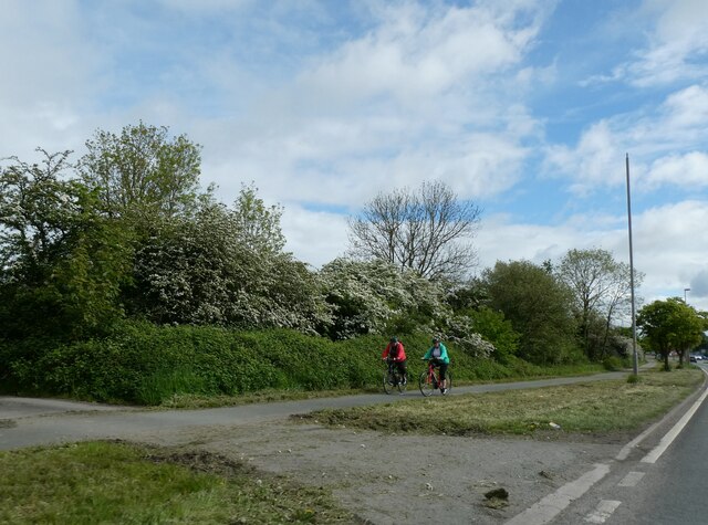
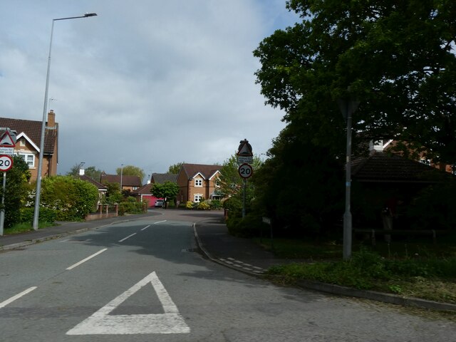
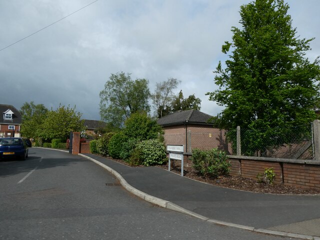
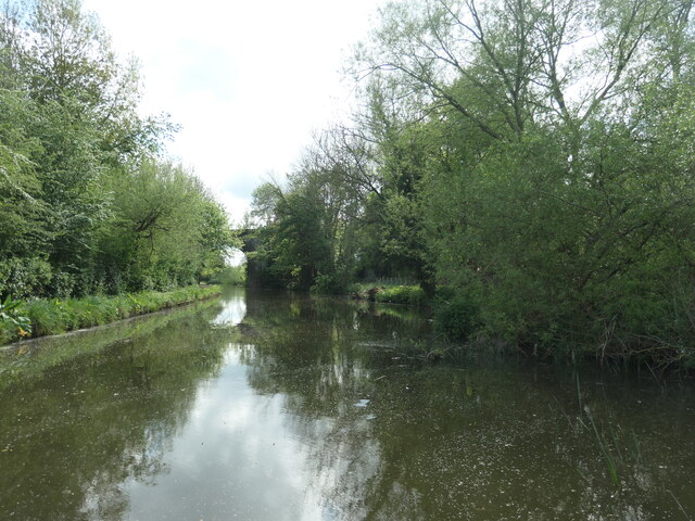
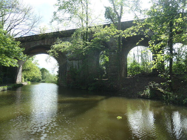
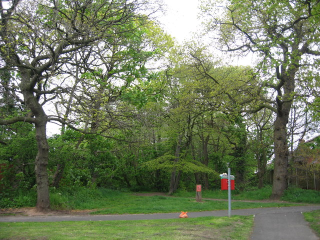
The village of Lea-by-Backford is a small, rural settlement surrounded by picturesque countryside. It is known for its charming cottages, historic buildings, and peaceful atmosphere. The village is situated on the banks of the River Dee, which provides scenic views and recreational opportunities for residents and visitors alike.
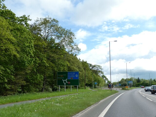
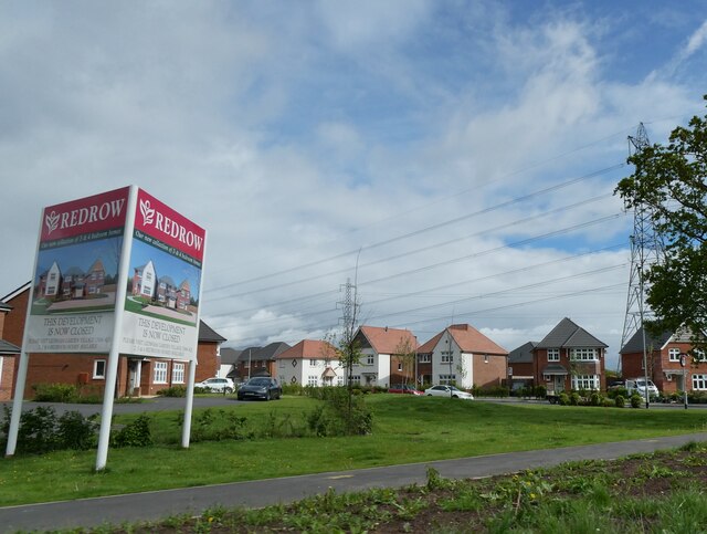
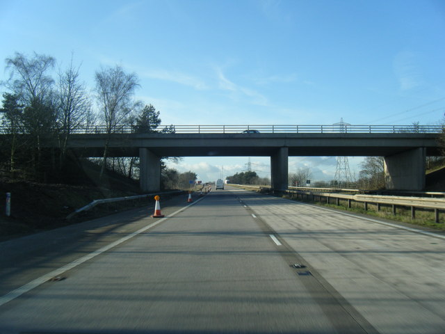
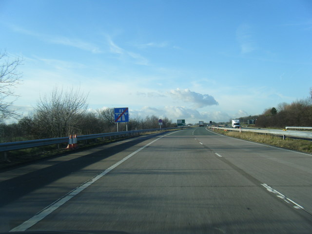
Lea-by-Backford is well-connected to the surrounding areas by road, with the A540 passing through the parish. This makes it easily accessible for those commuting to nearby towns and cities. The village also benefits from a number of amenities, including a village hall, a primary school, and a local pub.
The parish is rich in history, with evidence of human habitation dating back to the Roman period. Within the vicinity, there are several archaeological sites of interest, including the remains of a Roman fort and a medieval motte-and-bailey castle.
Overall, Lea-by-Backford offers a peaceful and picturesque setting for residents, with its rural charm and convenient location. It provides a close-knit community feel, while also being within easy reach of amenities and transport links.
If you have any feedback on the listing, please let us know in the comments section below.
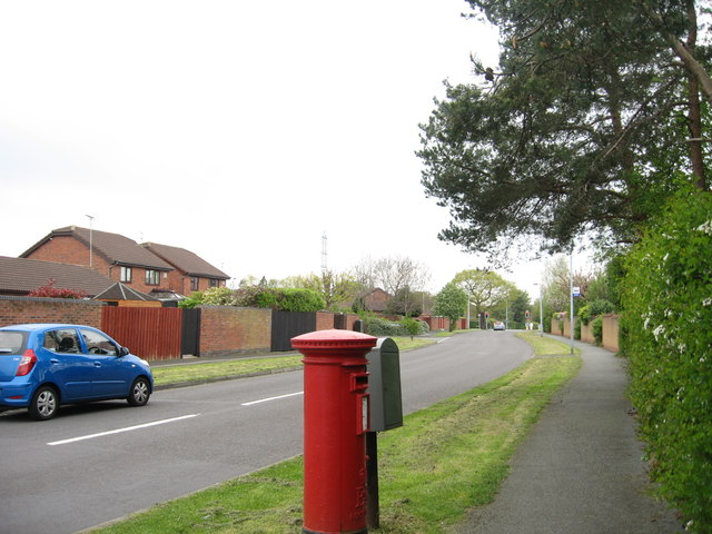
Lea-by-Backford Images
Images are sourced within 2km of 53.242604/-2.922864 or Grid Reference SJ3872. Thanks to Geograph Open Source API. All images are credited.


Lea-by-Backford is located at Grid Ref: SJ3872 (Lat: 53.242604, Lng: -2.922864)
Unitary Authority: Cheshire West and Chester
Police Authority: Cheshire
What 3 Words
///pile.fuel.mixed. Near Mollington, Cheshire
Nearby Locations
Related Wikis

Mollington railway station
Mollington railway station was on the Chester and Birkenhead Railway near to the village of Mollington in Cheshire, England. The station opened on 23 September...

Lea-by-Backford
Lea-by-Backford is a hamlet and civil parish in the unitary authority of Cheshire West and Chester and the ceremonial county of Cheshire, England. It is...

Backford
Backford is a village and civil parish in the unitary authority of Cheshire West and Chester and ceremonial county of Cheshire, England. It is situated...
Backford Hall
Backford Hall is a country house in the village of Backford, Cheshire, England. It was built in the mid 19th Century on the site of earlier halls, and...

St Oswald's Church, Backford
St Oswald's Church is in the village of Backford, to the northwest of Chester, Cheshire, England, close to the A41 road and adjoining Backford Hall. It...
Strawberry Park, Cheshire
Strawberry Park and Strawberry Fields are suburbs in the town of Ellesmere Port, Cheshire West and Chester. They are located to the south of Hope Farm...

Backford Cross
Backford Cross is a suburban locality of Ellesmere Port, within the unitary authority of Cheshire West and Chester, Cheshire, England. It is located at...
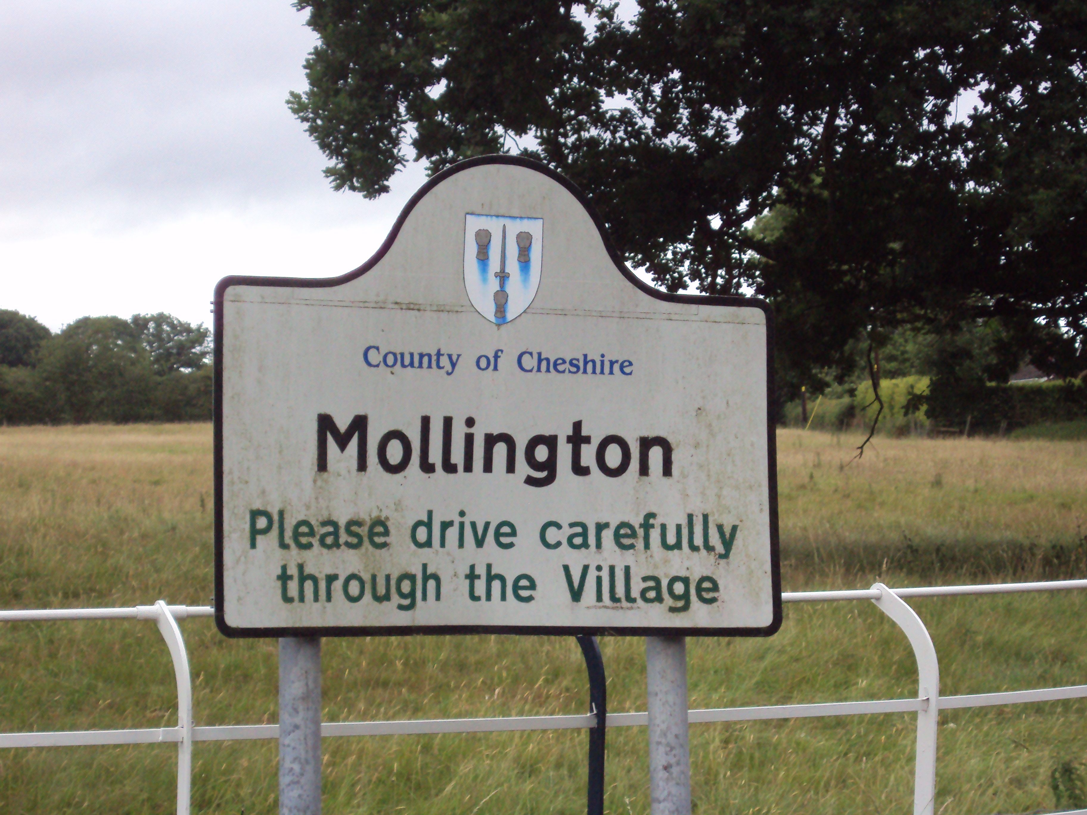
Mollington, Cheshire
Mollington is a village and civil parish in the unitary authority of Cheshire West and Chester and the ceremonial county of Cheshire, England. It is two...
Nearby Amenities
Located within 500m of 53.242604,-2.922864Have you been to Lea-by-Backford?
Leave your review of Lea-by-Backford below (or comments, questions and feedback).