Adkinson's Wood
Wood, Forest in Lancashire Wyre
England
Adkinson's Wood
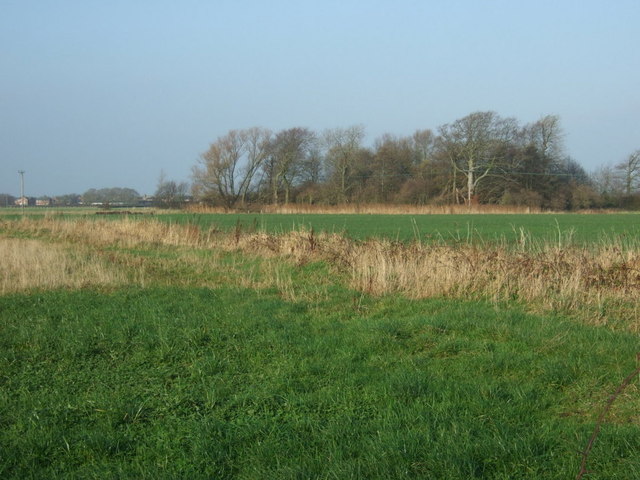
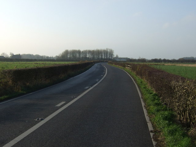
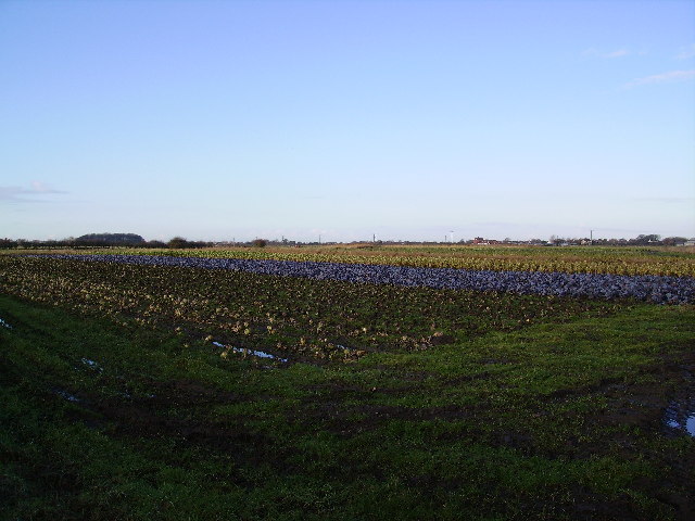
Adkinson's Wood is a picturesque forest located in Lancashire, England. Covering a vast area of dense woodland, it is a haven for nature enthusiasts and outdoor lovers. The wood is situated in the heart of the county, surrounded by rolling hills and scenic landscapes.
The woodland is predominantly made up of a variety of native tree species, including oak, beech, and birch, which provide a lush and diverse habitat for numerous wildlife species. The forest floor is adorned with beautiful wildflowers and ferns, creating a vibrant and enchanting atmosphere.
Adkinson's Wood offers a network of well-maintained walking trails, allowing visitors to explore the area at their own pace. These trails wind through the forest, offering stunning views of the surrounding countryside and providing opportunities for birdwatching and wildlife spotting.
The forest is also home to a rich array of animal species. Deer, foxes, badgers, and rabbits can often be spotted darting among the trees, while various birds, including woodpeckers and owls, can be heard singing and calling throughout the day.
In addition to its natural beauty, Adkinson's Wood offers several amenities for visitors. There are picnic areas and benches scattered throughout the forest, providing perfect spots for relaxation and enjoying a packed lunch. The wood is also equipped with well-maintained parking facilities and accessible paths for individuals with disabilities.
Overall, Adkinson's Wood is a truly enchanting destination, offering a peaceful retreat from the hustle and bustle of everyday life. Its stunning natural beauty, diverse wildlife, and well-maintained trails make it a must-visit location for anyone seeking a tranquil and immersive woodland experience.
If you have any feedback on the listing, please let us know in the comments section below.
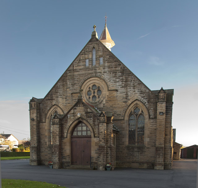
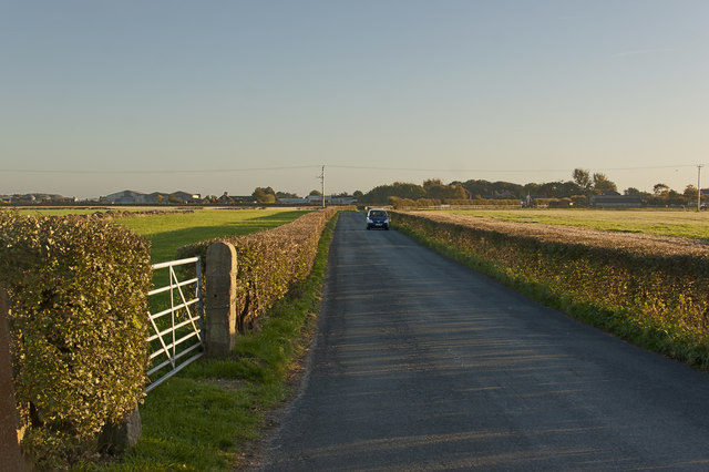
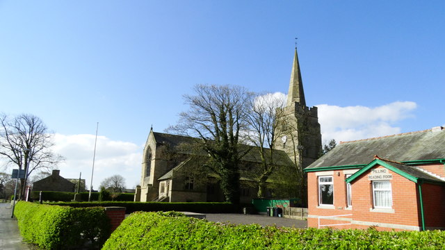
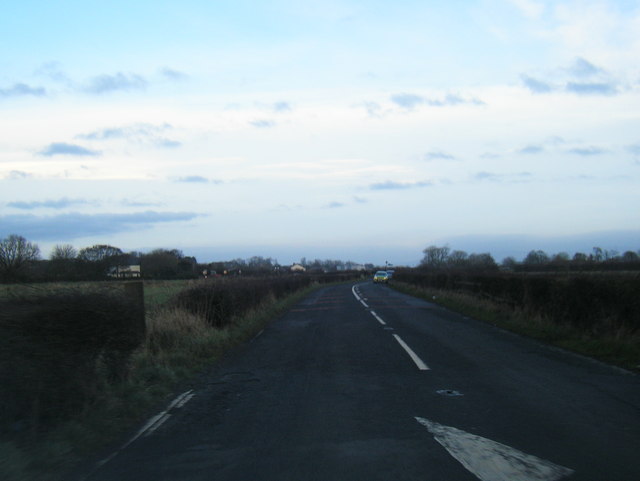
Adkinson's Wood Images
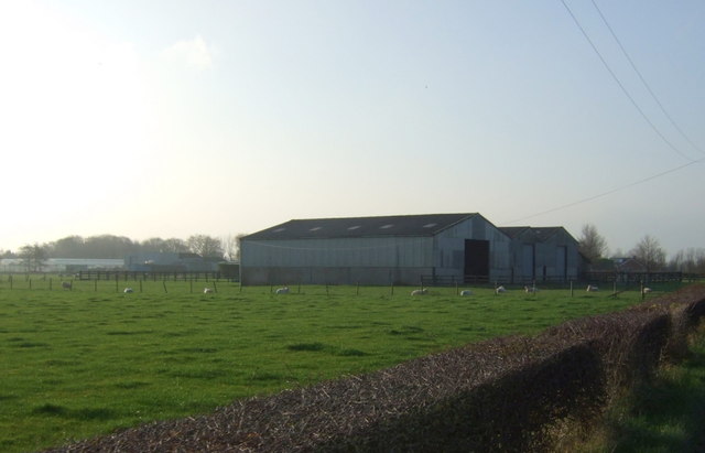
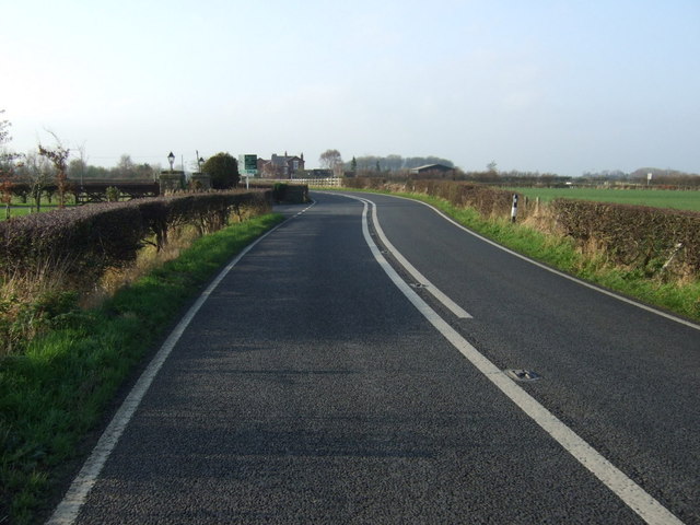
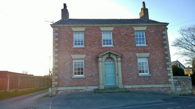
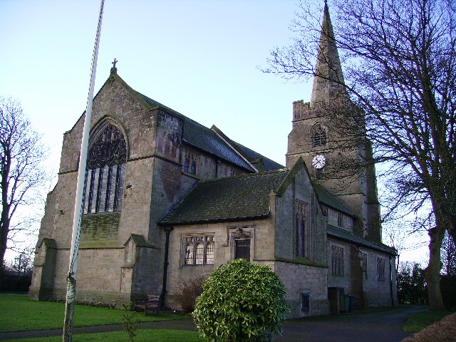
Images are sourced within 2km of 53.919651/-2.9352108 or Grid Reference SD3847. Thanks to Geograph Open Source API. All images are credited.
Adkinson's Wood is located at Grid Ref: SD3847 (Lat: 53.919651, Lng: -2.9352108)
Administrative County: Lancashire
District: Wyre
Police Authority: Lancashire
What 3 Words
///packages.hounded.chaos. Near Preesall, Lancashire
Nearby Locations
Related Wikis

Fylde North (UK Parliament constituency)
Fylde North was a constituency which returned one Member of Parliament (MP) to the House of Commons of the Parliament of the United Kingdom from 1950,...

Carr Lane railway station
Carr Lane railway station, also known as Carr Lane Halt railway station, served the village of Pilling, in Lancashire, England, on the Garstang and Knot...
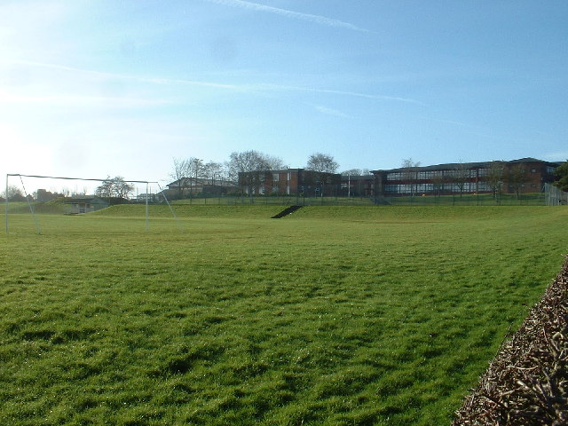
Saint Aidan's Church of England High School
Saint Aidan's Church of England High School (formerly Saint Aidan's Church of England Technology College) is a Church of England voluntary aided school...

The Olde Ship
The Olde Ship is an historic building in Pilling, Lancashire, England. It was built in 1782 for sea captain and slave trader George Dickinson (1732–1806...
Nearby Amenities
Located within 500m of 53.919651,-2.9352108Have you been to Adkinson's Wood?
Leave your review of Adkinson's Wood below (or comments, questions and feedback).