Millbank Wood

Wood, Forest in Cumberland Carlisle

England

Millbank Wood

Road junction at Bird's Hill
Road junction at Bird's Hill Credit: Steven Brown

Millbank Wood is a picturesque woodland located in the county of Cumberland, England. Covering an area of approximately 100 acres, it is a haven for nature enthusiasts and those seeking tranquility amidst the natural beauty of the region.

The wood is primarily comprised of a mix of deciduous and coniferous trees, including oak, birch, pine, and beech, which create a diverse and vibrant landscape throughout the seasons. The dense canopy provides shelter and nesting opportunities for a variety of bird species, including woodpeckers, owls, and finches. The forest floor is adorned with a rich carpet of wildflowers and ferns, adding to the enchanting atmosphere.

Millbank Wood is crisscrossed by a network of well-maintained footpaths, allowing visitors to explore its wonders at their own pace. The trails lead visitors through sun-dappled glades, past babbling brooks, and alongside ancient stone walls that have stood for centuries. The wood is also home to a diverse array of wildlife, including deer, foxes, badgers, and squirrels, providing ample opportunities for wildlife spotting and photography.

For those interested in history, Millbank Wood has a story to tell. It is believed that the wood has been in existence since medieval times, and remnants of old charcoal pits and ironworks can still be found, serving as a reminder of the area's industrial past.

Millbank Wood is a true gem in the heart of Cumberland, offering a peaceful retreat and a chance to reconnect with nature. Whether it's a leisurely stroll, birdwatching, or simply enjoying the tranquility of the surroundings, this woodland has something to offer for everyone.

If you have any feedback on the listing, please let us know in the comments section below.

Millbank Wood Images

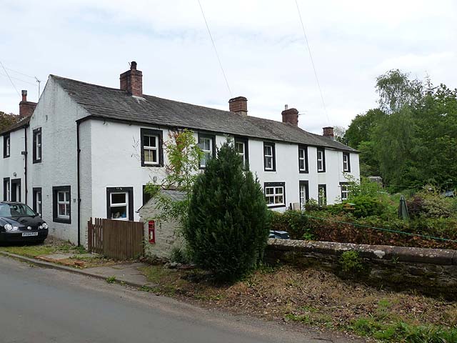
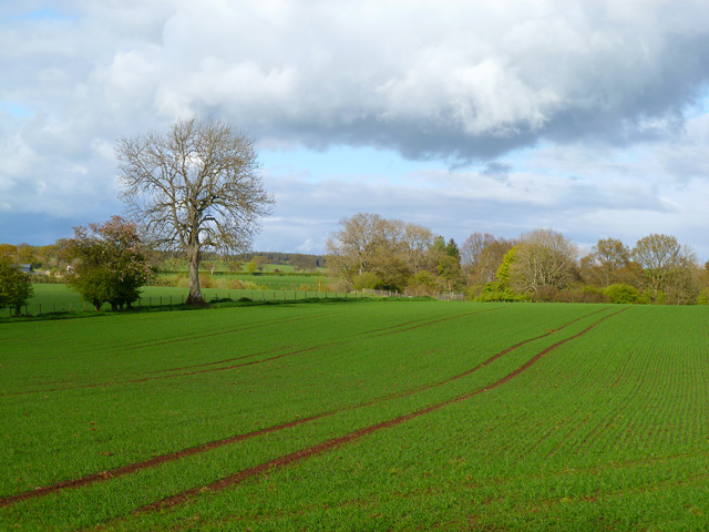
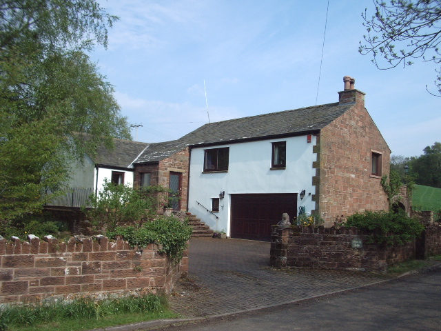
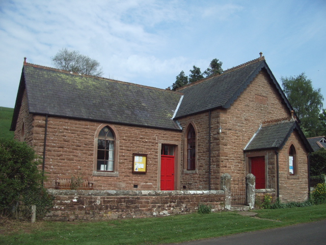
Images are sourced within 2km of 54.801203/-2.9554276 or Grid Reference NY3845. Thanks to Geograph Open Source API. All images are credited.

Road junction at Bird's Hill
Road through Raughton
Terraced cottages at Highbridge Adjacent to the River Ive. Note the postbox set into the wall of the outhouse.
Terraced cottages at Highbridge
Adjacent to the River Ive. Note the postbox set into the wall of the outhouse.
Cottage at Sunny Vale Adjoining the River Ive.
Cottage at Sunny Vale
Adjoining the River Ive.
Pasture and woodland, Gaitsgill, Dalston Beside the River Roe at Thrangholm Bridge.
Pasture and woodland, Gaitsgill, Dalston
Beside the River Roe at Thrangholm Bridge.
Pasture, Raughton Head, Dalston Looking up to the edge of the village from the road from Stockdalewath.
Pasture, Raughton Head, Dalston
Looking up to the edge of the village from the road from Stockdalewath.
Farmland, Dalston Arable land to the west of Highbridge.
Farmland, Dalston
Arable land to the west of Highbridge.
Pasture, Dalston Cattle to the east of Gaitsgill.
Pasture, Dalston
Cattle to the east of Gaitsgill.
Fieldhead Farm Thethwaite
Raughton Head Church
Rose Castle, Raughton The Palace of the Bishops of Carlisle. The oldest part is the pele tower, Stricklands Tower, built 1340. Not open to the public.
Rose Castle, Raughton
The Palace of the Bishops of Carlisle. The oldest part is the pele tower, Stricklands Tower, built 1340. Not open to the public.
Rose Castle Again. Same view but different light.
Rose Castle Again.
Same view but different light.
Quarry Side
Quarry Side
Stockdalewath Bridge Stockdalewath Bridge spanning the River Roe
Stockdalewath Bridge
Stockdalewath Bridge spanning the River Roe
Track to Dobcross Hall
Stockdalewath Methodist Church
The road to Red Gyll
High Carnaby and Keeper Cottage, Raughton
Show me another place!

Millbank Wood is located at Grid Ref: NY3845 (Lat: 54.801203, Lng: -2.9554276)

Administrative County: Cumbria

District: Carlisle

Police Authority: Cumbria

What 3 Words

///drag.walked.performs. Near Dalston, Cumbria

Related Wikis

Stockdalewath

Stockdalewath is a small village in Cumbria, approximately 7.5 miles south of Carlisle in the extreme northwest of England. It is located on the River...

Raughton Head

Raughton Head is a hamlet in Cumbria, England, located 8 miles (13 km) south of Carlisle. == Toponymy == the name Raughton Head is most likely derived...
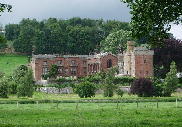
Rose Castle

Rose Castle is a fortified house in the parish of Dalston, Cumbria, England. It was the residence of the bishops of Carlisle from 1230 to 2009, and has...

Roe Beck

Roe Beck also known as the River Roe in its lower reaches, is a beck that flows through Cumbria, England. It is a lower tributary of the River Caldew which...

Nearby Amenities

Located within 500m of 54.801203,-2.9554276
Wythmoor House
Naptan AtcoCode: 090033152135
Naptan Bearing: E
Naptan BusStopType: CUS
Naptan CommonName: Wythmoor House
Naptan Indicator: o/s
Naptan Landmark: Wythmoor House
Naptan NaptanCode: cumaptmd
Naptan Street: No name
Naptan Verified: no
Source: naptan_import
Lat/Long: 54.7972027/-2.9552674
Post Box
Ref: CA5 196
Lat/Long: 54.7970874/-2.95528
Grit Bin
Lat/Long: 54.7972513/-2.9557199
Barrier: kissing_gate
Lat/Long: 54.7984117/-2.9551761
Barrier: stile
Stile: stepover
Lat/Long: 54.8051254/-2.9569732
Generator Method: photovoltaic
Generator Orientation: south_east
Generator Output Electricity: yes
Generator Solar Modules: 15
Generator Source: solar
Generator Type: solar_photovoltaic_panel
Location: roof
Power: generator
Lat/Long: 54.7975681/-2.9574249
Power: pole
Lat/Long: 54.7980184/-2.9511576
Power: pole
Lat/Long: 54.7981421/-2.9497429
Power: pole
Lat/Long: 54.800015/-2.951714
Power: pole
Lat/Long: 54.7995448/-2.9515537
Power: pole
Lat/Long: 54.7990976/-2.9514169
Power: pole
Lat/Long: 54.7986504/-2.9512849
Power: pole
Lat/Long: 54.8044687/-2.9583891
Power: pole
Lat/Long: 54.8043627/-2.959245
Power: pole
Lat/Long: 54.804273/-2.960049
Power: pole
Lat/Long: 54.8008196/-2.962447
Power: pole
Lat/Long: 54.8014584/-2.9614661
Power: pole
Lat/Long: 54.8021447/-2.961103
Power: pole
Lat/Long: 54.8028229/-2.9607587
Power: pole
Lat/Long: 54.803535/-2.9604145
Power: pole
Lat/Long: 54.8049552/-2.9597236
Power: pole
Lat/Long: 54.8018335/-2.9477128
Power: pole
Lat/Long: 54.8008507/-2.9480045
Power: pole
Lat/Long: 54.7998873/-2.9482904
Power: pole
Lat/Long: 54.7986477/-2.9492006
Power: pole
Lat/Long: 54.8010316/-2.9488162
Power: pole
Lat/Long: 54.8012505/-2.9498419
The data included in this document is from www.openstreetmap.org. The data is made available under ODbL.

Have you been to Millbank Wood?

Leave your review of Millbank Wood below (or comments, questions and feedback).