The Three Clumps

Wood, Forest in Dorset

England

The Three Clumps

Jubilee Trail crossing Temple Brook near Temple Farm
Jubilee Trail crossing Temple Brook near Temple Farm Credit: Vieve Forward

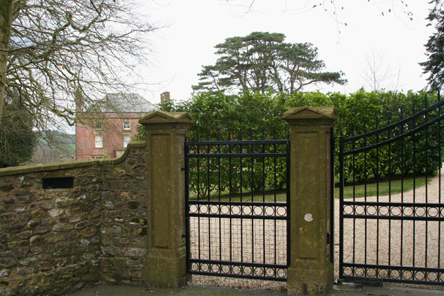
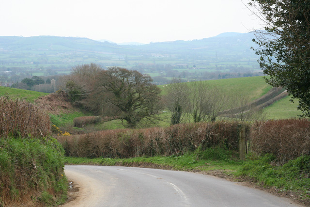
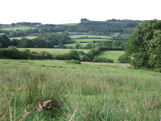
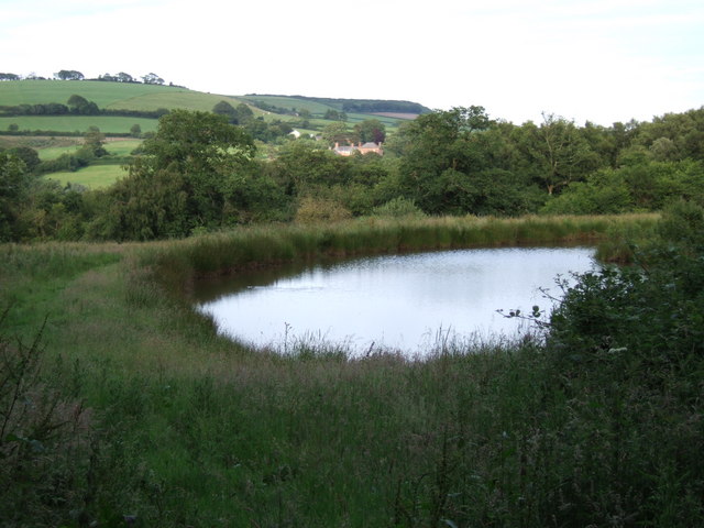
The Three Clumps, located in Dorset, England, is a picturesque woodland area known for its three distinct clumps of trees. Situated within the larger expanse of Wareham Forest, this site is a designated nature reserve and a popular destination for nature enthusiasts and walkers alike.

The three clumps of trees, after which the area is named, are comprised of a mixture of oak, beech, and ash trees. These clumps create a striking visual contrast against the surrounding landscape, particularly during the autumn months when the foliage turns vibrant shades of red, orange, and gold.

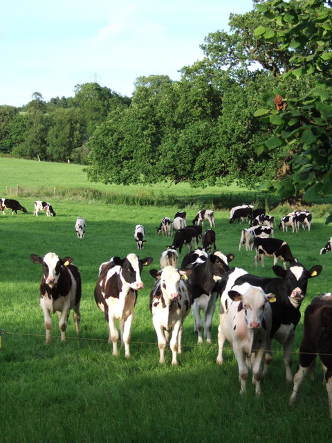
The woodland area is home to a diverse range of flora and fauna, including various species of birds, butterflies, and small mammals. Visitors to The Three Clumps can expect to encounter woodland creatures such as deer, badgers, and foxes, as well as a variety of bird species like woodpeckers, owls, and thrushes.

The site offers several walking trails, allowing visitors to explore the woodland at their own pace. These trails are well-maintained and provide opportunities to observe the local wildlife and appreciate the natural beauty of the area. Additionally, there are designated picnic areas where visitors can enjoy a leisurely lunch surrounded by the tranquility of the forest.

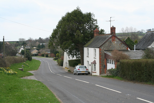
The Three Clumps is open year-round and is free to enter. It is easily accessible by car, with ample parking available nearby. Visitors are advised to wear appropriate footwear and clothing, particularly during wet weather, as the woodland paths can become muddy.

Overall, The Three Clumps in Dorset offers a peaceful and enchanting experience, allowing visitors to immerse themselves in the beauty of nature and enjoy a serene escape from the hustle and bustle of everyday life.

If you have any feedback on the listing, please let us know in the comments section below.

The Three Clumps Images

Images are sourced within 2km of 50.806283/-2.8717687 or Grid Reference ST3801. Thanks to Geograph Open Source API. All images are credited.

Jubilee Trail crossing Temple Brook near Temple Farm
The Jubilee Trail near Cole's Cross The sign advises that you take the road, as the trail from here to Specket Cottage crosses several springs or brooks and is indeed boggy in places.
The Jubilee Trail near Cole's Cross
The sign advises that you take the road, as the trail from here to Specket Cottage crosses several springs or brooks and is indeed boggy in places.
Blackdown 'Hut' Blackdown village hall, generally known as Blackdown hut.
Blackdown 'Hut'
Blackdown village hall, generally known as Blackdown hut.
Thorncombe: Racedown By the entrance to the estate: Looking north west from the B3165 Crewkerne – Marshwood road
Thorncombe: Racedown
By the entrance to the estate: Looking north west from the B3165 Crewkerne – Marshwood road
The B3165 at Marshalsea Looking south west near Tanyard Farm. Here the B3165 provides the boundary between Thorncombe and Bettiscombe parishes
The B3165 at Marshalsea
Looking south west near Tanyard Farm. Here the B3165 provides the boundary between Thorncombe and Bettiscombe parishes
Bettiscombe: by Horse Mill Cross Looking south. Near Birdsmoorgate
Bettiscombe: by Horse Mill Cross
Looking south. Near Birdsmoorgate
Exposed tree roots on field boundary.
Wessex Ridgeway from Pilsdon Penn
Wessex Ridgeway from Pilsdon Penn.
Headwater valleys of the Blackwater The view looks across the valleys of some half a dozen streams collecting to form the Blackwater River. Seen from a field crossed by Hawkchurch Footpath 5, here followed by the Liberty Trail and the Wessex Ridgeway path. In the background rises Payne's Down.
Headwater valleys of the Blackwater
The view looks across the valleys of some half a dozen streams collecting to form the Blackwater River. Seen from a field crossed by Hawkchurch Footpath 5, here followed by the Liberty Trail and the Wessex Ridgeway path. In the background rises Payne's Down.
Home Farm The attractive flint and brick farmhouse at Home Farm, Sadborow, seen from the point at which Thorncombe footpath 93 leaves Sadborow Lane.
Home Farm
The attractive flint and brick farmhouse at Home Farm, Sadborow, seen from the point at which Thorncombe footpath 93 leaves Sadborow Lane.
Pond near Knacker's Hole The upper of a pair of ponds on a sloping site beside Knacker's Hole Lane, followed by Thorncombe footpath 20. In the background, across into ST3901, is <a href="https://www.geograph.org.uk/photo/153552">ST3901 : Thorncombe: Racedown</a>, where Wordsworth started writing seriously.
Pond near Knacker's Hole
The upper of a pair of ponds on a sloping site beside Knacker's Hole Lane, followed by Thorncombe footpath 20. In the background, across into ST3901, is ST3901 : Thorncombe: Racedown, where Wordsworth started writing seriously.
River Synderford A tiny meander on the little tributary of the Axe, forming the western boundary of the very large parish of Broadwindsor. A herd of bullocks, obviously upset by my progress along Broadwindsor footpath 50, is rapidly relocating to the next field. Looking downstream.
River Synderford
A tiny meander on the little tributary of the Axe, forming the western boundary of the very large parish of Broadwindsor. A herd of bullocks, obviously upset by my progress along Broadwindsor footpath 50, is rapidly relocating to the next field. Looking downstream.
Synderford valley at Yew Tree Farm Looking across the southern edge of the square from the Monarch's Way / Wessex Ridgeway, both of which share a stretch of Thorncombe bridleway 18. The small building on the right is a pump house, passed on its right side by Thorncombe footpath 17, and very wet it is too. The field beyond the river is bordered by two streams, within Causeway Coppice (left) and Lower Causeway Coppice (right). Causeway, the farm, beyond, is across into <a href="https://www.geograph.org.uk/gridref/ST3903">ST3903</a>.
Synderford valley at Yew Tree Farm
Looking across the southern edge of the square from the Monarch's Way / Wessex Ridgeway, both of which share a stretch of Thorncombe bridleway 18. The small building on the right is a pump house, passed on its right side by Thorncombe footpath 17, and very wet it is too. The field beyond the river is bordered by two streams, within Causeway Coppice (left) and Lower Causeway Coppice (right). Causeway, the farm, beyond, is across into ST3903.
Partridge by the hedge A red-legged partridge, Alectoris rufa, skulks by a hedge near the junction of Gashay Lane and Sadborow Lane. The Blackwater River flows (from left to right) just beyond the fencing, where a footbridge connects the fields.
Partridge by the hedge
A red-legged partridge, Alectoris rufa, skulks by a hedge near the junction of Gashay Lane and Sadborow Lane. The Blackwater River flows (from left to right) just beyond the fencing, where a footbridge connects the fields.
Gateway on Sadborow Lane A break in the treelined and partly sunken lane gives this glimpse across a narrow field, just 40 metres across here, which runs down the hill beside the lane for 250 metres. Stinging nettles catch the evening sun.
Gateway on Sadborow Lane
A break in the treelined and partly sunken lane gives this glimpse across a narrow field, just 40 metres across here, which runs down the hill beside the lane for 250 metres. Stinging nettles catch the evening sun.
Field beside Sadborow Lane The field drops towards Vembury Farm and the Blackwater valley, with Bitterstall Orchard on the left. In the distance is Lamberts Castle.
Field beside Sadborow Lane
The field drops towards Vembury Farm and the Blackwater valley, with Bitterstall Orchard on the left. In the distance is Lamberts Castle.
Bullocks at Home Farm Plenty of eager posers in a field next to Thorncombe footpath 93. An electric fence stops them coming nearer. Behind them, a single oak tree stands apart in the field.
Bullocks at Home Farm
Plenty of eager posers in a field next to Thorncombe footpath 93. An electric fence stops them coming nearer. Behind them, a single oak tree stands apart in the field.
Show me another place!

The Three Clumps is located at Grid Ref: ST3801 (Lat: 50.806283, Lng: -2.8717687)

Unitary Authority: Dorset

Police Authority: Dorset

What 3 Words

///redeeming.simulations.pesky. Near Charmouth, Dorset

Related Wikis

Payne's Down

Payne's Down is a prominent hill, 211 metres (692 ft) high, some 10 kilometres east-northeast of Axminster and 1 kilometre northwest of Birdsmoorgate,...

Marshwood

Marshwood is a village and civil parish in west Dorset, England, situated on the northern edge of the Marshwood Vale approximately 5.5 miles (8.9 km) northeast...

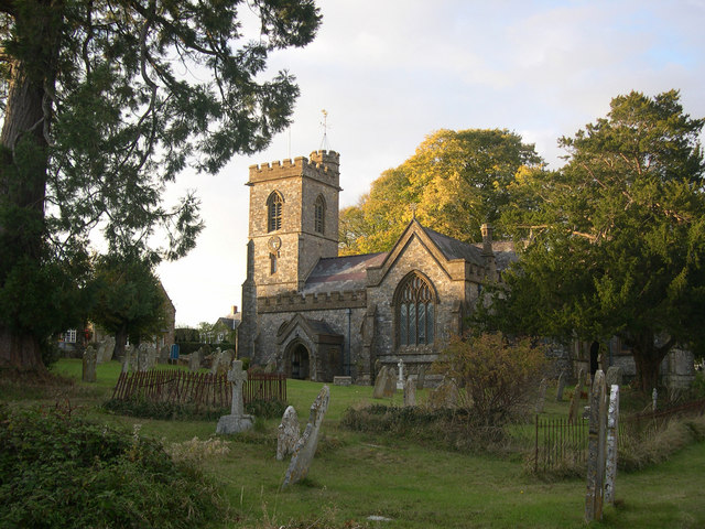
St Mary's Church, Marshwood

St Mary's Church is a Church of England church in Marshwood, Dorset, England. The earliest part of the church is the tower, which dates to 1840, while...

The Bottle Inn

The Bottle Inn is a 16th-century public house at Marshwood in Dorset, England which hosts the World Nettle Eating Championship. It is Grade II listed....

Bettiscombe

Bettiscombe is a small village and civil parish in west Dorset, England, situated in the Marshwood Vale four miles (6.4 km) west of Beaminster. Dorset...

Blackdown, Dorset

Blackdown is a small village in western Dorset, England; situated 7 miles (11 km) west of Beaminster. With the creation of the new Dorset Council, Blackdown...

Holy Trinity Church, Blackdown

Holy Trinity Church is a Church of England church in Blackdown, Dorset, England. The church was designed by Edward Ledger Bracebridge and built in 1839...

Thorncombe

Thorncombe is a village and civil parish in the English county of Dorset. It was historically, until 1844, an exclave of Devon. It lies five miles (8...

Nearby Amenities

Located within 500m of 50.806283,-2.8717687
Power: pole
Lat/Long: 50.8099602/-2.8709427
Power: pole
Lat/Long: 50.8100382/-2.8728899
Power: pole
Lat/Long: 50.8101365/-2.8749043
Power: pole
Lat/Long: 50.8096907/-2.8759289
Direction: WSW
Generator Method: photovoltaic
Generator Output Electricity: yes
Generator Solar Modules: 8
Generator Source: solar
Generator Type: solar_photovoltaic_panel
Location: roof
Power: generator
Lat/Long: 50.8033652/-2.8707576
Direction: WSW
Generator Method: photovoltaic
Generator Output Electricity: yes
Generator Solar Modules: 6
Generator Source: solar
Generator Type: solar_photovoltaic_panel
Location: roof
Power: generator
Lat/Long: 50.8032955/-2.8706634
Direction: SSE
Generator Method: photovoltaic
Generator Output Electricity: yes
Generator Solar Modules: 3
Generator Source: solar
Generator Type: solar_photovoltaic_panel
Location: roof
Power: generator
Lat/Long: 50.8033057/-2.870708
The data included in this document is from www.openstreetmap.org. The data is made available under ODbL.

Have you been to The Three Clumps?

Leave your review of The Three Clumps below (or comments, questions and feedback).