Brier's Intake Coppice
Wood, Forest in Lancashire South Lakeland
England
Brier's Intake Coppice

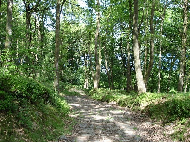
Brier's Intake Coppice is a picturesque woodland located in the Lancashire countryside, England. Spanning over several acres, this enchanting forest is a true haven for nature enthusiasts and outdoor lovers alike. The coppice is situated near the charming village of Briercliffe, just a short distance from the bustling town of Burnley.
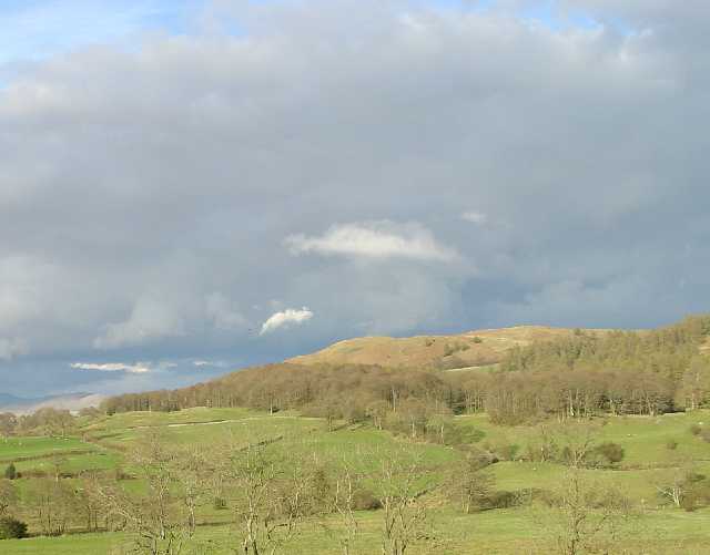
The woodland is known for its diverse range of tree species, including oak, beech, birch, and ash. These majestic trees create a dense canopy overhead, providing a cool and soothing ambiance for visitors. The forest floor is blanketed with a lush carpet of ferns, wildflowers, and moss, adding to the area's natural beauty.
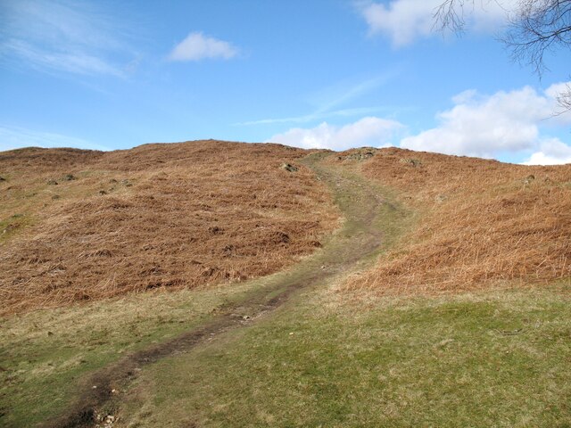
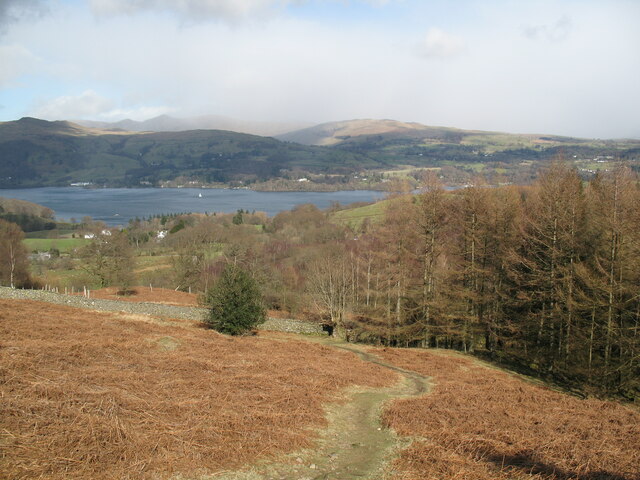
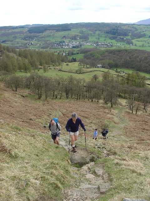
Brier's Intake Coppice offers numerous walking trails and paths that wind through the woods, allowing visitors to explore the area at their own pace. The well-maintained trails offer varying levels of difficulty, ensuring there is something suitable for everyone, from leisurely strolls to more challenging hikes.
The woodland is home to a rich assortment of wildlife, making it a prime spot for birdwatching and wildlife photography. Visitors may catch a glimpse of woodland birds such as woodpeckers, owls, and song thrushes, as well as small mammals like squirrels and rabbits.
Nature lovers can also enjoy a picnic in one of the designated areas or simply find a quiet spot to relax and soak in the tranquility of the surroundings. Brier's Intake Coppice is a true gem of Lancashire, offering a peaceful retreat from the hustle and bustle of everyday life.
If you have any feedback on the listing, please let us know in the comments section below.
Brier's Intake Coppice Images
Images are sourced within 2km of 54.385496/-2.9538122 or Grid Reference SD3899. Thanks to Geograph Open Source API. All images are credited.


Brier's Intake Coppice is located at Grid Ref: SD3899 (Lat: 54.385496, Lng: -2.9538122)
Administrative County: Cumbria
District: South Lakeland
Police Authority: Cumbria
What 3 Words
///sweeper.thud.conveying. Near Windermere, Cumbria
Nearby Locations
Related Wikis

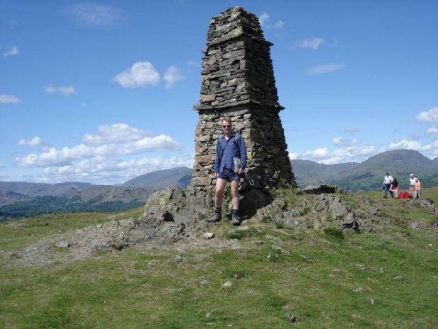
Latterbarrow
Latterbarrow is a hill in the English Lake District, east of Hawkshead, Cumbria. It is the subject of a chapter of Wainwright's book The Outlying Fells...

Claife
Claife is a civil parish in the South Lakeland district of Cumbria, England. It is situated west of Windermere, and east of Esthwaite Water and the village...

RMS Wray Castle
RMS Wray Castle was a training college for Merchant Navy radio officers based at Wray Castle in the Lake District, from 1958 to 1998.At 11:40 p.m., on...
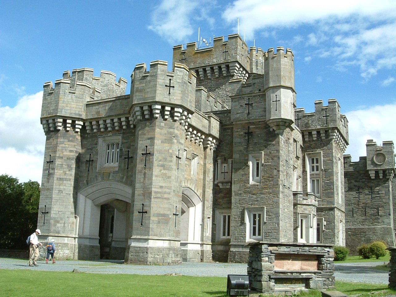
Wray Castle
Wray Castle is a Victorian neo-gothic building at Claife in Cumbria within the boundaries of the historic county of Lancashire. The house and grounds have...

Brockhole
The Brockhole Lake District Visitor Centre, also known as the Brockhole National Park Visitor Centre, is a visitor centre and tourist attraction managed...

Blelham Tarn
Blelham Tarn is a large valley tarn in the Lake District of England, to the north of the hill Latterbarrow. The settlements of Outgate, Low Wray and High...

Claife Heights
Claife Heights is an upland area in the Lake District, near to Windermere in Cumbria, England. It has a topographic prominence of 177 metres (581 ft) so...

The Lakes School
The Lakes School is a coeducational secondary school and sixth form located in Troutbeck Bridge, Windermere, in the English county of Cumbria.It is a comprehensive...
Nearby Amenities
Located within 500m of 54.385496,-2.9538122Have you been to Brier's Intake Coppice?
Leave your review of Brier's Intake Coppice below (or comments, questions and feedback).