Cobbler's Green
Settlement in Norfolk South Norfolk
England
Cobbler's Green
Cobbler's Green is a charming village located in the county of Norfolk, England. Nestled amidst the picturesque countryside, this idyllic settlement offers a peaceful and tranquil environment for its residents. The village is situated approximately 10 miles south of the city of Norwich, making it easily accessible for those seeking a rural retreat while still desiring proximity to urban amenities.
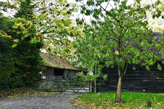
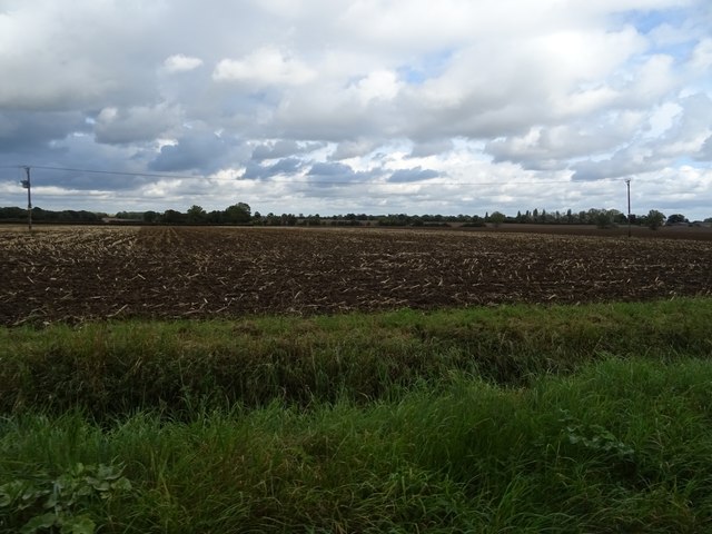
Cobbler's Green is known for its stunning natural beauty, with rolling green fields, meandering streams, and ancient woodlands surrounding the area. The village itself is characterized by quaint, traditional cottages made of local flint and brick, giving it a timeless and classic appeal.
The community in Cobbler's Green is tight-knit and friendly, making it an ideal place for families and individuals seeking a close community spirit. The village boasts a range of amenities, including a village hall, a primary school, and a local pub that serves as a focal point for social gatherings and community events.
For outdoor enthusiasts, Cobbler's Green offers ample opportunities for exploration and recreation. A network of footpaths and bridleways crisscross the surrounding countryside, providing scenic routes for walking, cycling, and horseback riding. Nature lovers will also appreciate the nearby nature reserves and wildlife habitats, which showcase the region's diverse flora and fauna.
Cobbler's Green truly epitomizes the charm and beauty of rural Norfolk. With its stunning natural landscapes and strong sense of community, it is a place that residents and visitors alike can call home.
If you have any feedback on the listing, please let us know in the comments section below.
Cobbler's Green Images
Images are sourced within 2km of 52.479242/1.367945 or Grid Reference TM2892. Thanks to Geograph Open Source API. All images are credited.


Cobbler's Green is located at Grid Ref: TM2892 (Lat: 52.479242, Lng: 1.367945)
Administrative County: Norfolk
District: South Norfolk
Police Authority: Norfolk
What 3 Words
///subtitle.amaze.windows. Near Ditchingham, Norfolk
Nearby Locations
Related Wikis

Bedingham Green
Bedingham Green is a hamlet in Norfolk, England. == References ==
Bedingham
Bedingham is a village and civil parish in the South Norfolk district of Norfolk, England, about 11 miles (18 km) south of Norwich. According to the 2001...

Sexton Wood
Sexton Wood is a 40-hectare (99-acre) biological Site of Special Scientific Interest north-west of Ditchingham in Norfolk. It is a Nature Conservation...

Woodton
Woodton is a village and civil parish in the English county of Norfolk. It is situated some 7 km north-west of the Suffolk town of Bungay, and 20 km south...

Topcroft
Topcroft is a village and a civil parish in the English county of Norfolk. The village is around 7 miles (11 km) north-west of Bungay and 14 miles (23...
Hedenham
Hedenham is a civil parish in the English county of Norfolk. It covers an area of 7.30 km2 (2.82 sq mi) and had a population of 173 in 70 households at...

South Norfolk (UK Parliament constituency)
South Norfolk is a constituency represented in the House of Commons of the UK Parliament since 2001 by Richard Bacon, a Conservative. == Constituency... ==
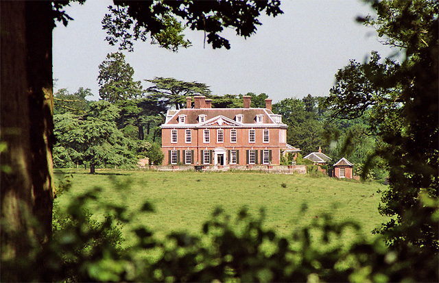
Ditchingham Hall
Ditchingham Hall is an English country house, near the village of Ditchingham in south Norfolk, England, which is set in about 2,000 acres (810 ha) of...
Nearby Amenities
Located within 500m of 52.479242,1.367945Have you been to Cobbler's Green?
Leave your review of Cobbler's Green below (or comments, questions and feedback).