Bedingham
Civil Parish in Norfolk South Norfolk
England
Bedingham
Bedingham is a civil parish located in the county of Norfolk, in the eastern part of England. It lies approximately 12 miles south of the city of Norwich and covers an area of around 5 square miles. The parish is situated within the district of South Norfolk and is part of the larger Waveney parliamentary constituency.
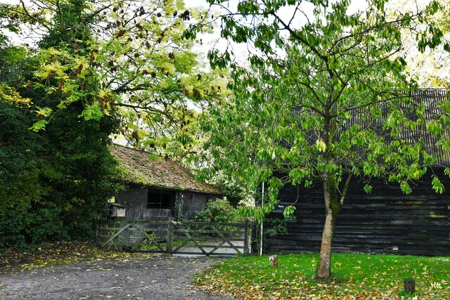
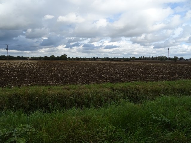
The village of Bedingham itself is a small, rural settlement with a population of around 150 residents. It is characterized by its picturesque countryside surroundings, featuring rolling hills, farmland, and wooded areas. The parish is primarily agricultural, with farming being the main economic activity.
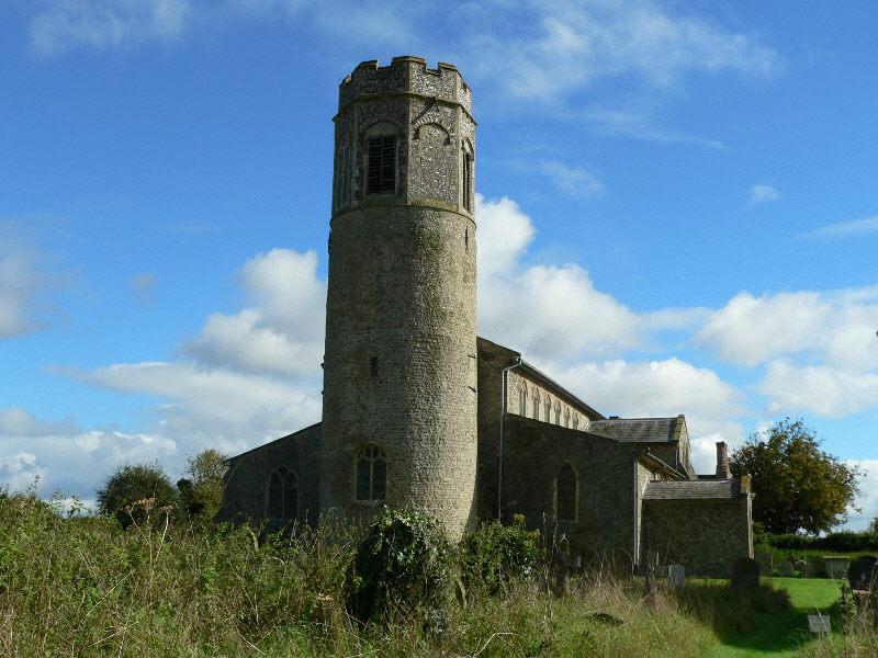
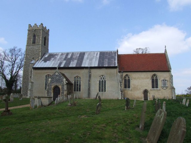
The village has a rich history, dating back to the Anglo-Saxon period. It is mentioned in the Domesday Book, a survey of England completed in 1086. The parish church, St. Andrew's, is a notable landmark in Bedingham. It is a medieval church dating from the 14th century and features a tower and a thatched roof.
Despite its small size, Bedingham has a strong sense of community. It has a village hall that serves as a hub for various social and recreational activities. The village also has a primary school, providing education for local children.
Bedingham offers a peaceful and idyllic lifestyle, with its close-knit community and charming countryside setting. It is an attractive destination for those seeking a rural retreat while still being within commuting distance of Norwich and other nearby towns.
If you have any feedback on the listing, please let us know in the comments section below.
Bedingham Images
Images are sourced within 2km of 52.478524/1.3682 or Grid Reference TM2892. Thanks to Geograph Open Source API. All images are credited.


Bedingham is located at Grid Ref: TM2892 (Lat: 52.478524, Lng: 1.3682)
Administrative County: Norfolk
District: South Norfolk
Police Authority: Norfolk
What 3 Words
///issuer.slugs.keepers. Near Ditchingham, Norfolk
Nearby Locations
Related Wikis

Bedingham Green
Bedingham Green is a hamlet in Norfolk, England. == References ==
Bedingham
Bedingham is a village and civil parish in the South Norfolk district of Norfolk, England, about 11 miles (18 km) south of Norwich. According to the 2001...

Sexton Wood
Sexton Wood is a 40-hectare (99-acre) biological Site of Special Scientific Interest north-west of Ditchingham in Norfolk. It is a Nature Conservation...

Woodton
Woodton is a village and civil parish in the English county of Norfolk. It is situated some 7 km north-west of the Suffolk town of Bungay, and 20 km south...

Topcroft
Topcroft is a village and a civil parish in the English county of Norfolk. The village is around 7 miles (11 km) north-west of Bungay and 14 miles (23...
Hedenham
Hedenham is a civil parish in the English county of Norfolk. It covers an area of 7.30 km2 (2.82 sq mi) and had a population of 173 in 70 households at...

South Norfolk (UK Parliament constituency)
South Norfolk is a constituency represented in the House of Commons of the UK Parliament since 2001 by Richard Bacon, a Conservative. == Constituency... ==
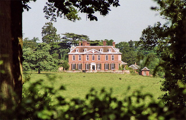
Ditchingham Hall
Ditchingham Hall is an English country house, near the village of Ditchingham in south Norfolk, England, which is set in about 2,000 acres (810 ha) of...
Nearby Amenities
Located within 500m of 52.478524,1.3682Have you been to Bedingham?
Leave your review of Bedingham below (or comments, questions and feedback).