Cobbler's Plain
Settlement in Monmouthshire
Wales
Cobbler's Plain
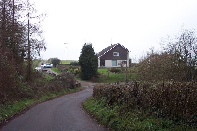
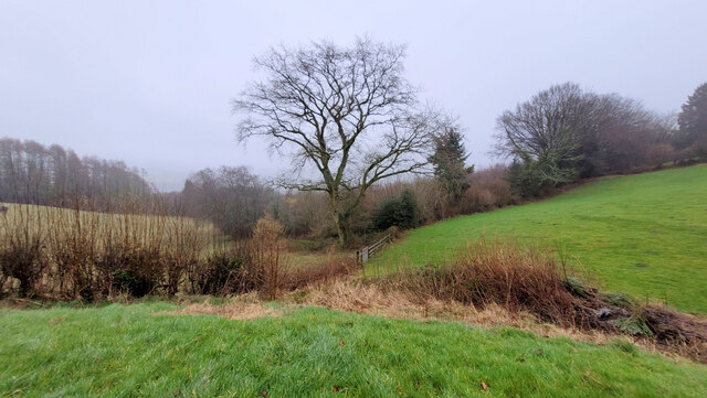
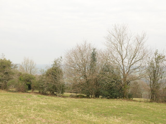
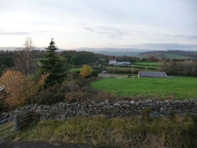
Cobbler's Plain is a small village located in Monmouthshire, Wales. Situated on the eastern edge of the Brecon Beacons National Park, it is surrounded by lush green hills and picturesque countryside. The village is known for its natural beauty and tranquility, making it a popular destination for outdoor enthusiasts and those seeking a peaceful retreat.
The origin of the name "Cobbler's Plain" is unclear, but it is believed to have been derived from the presence of cobblers or shoemakers who once resided in the area. Historically, the village was primarily an agricultural community, with farming being the main source of livelihood for its inhabitants.
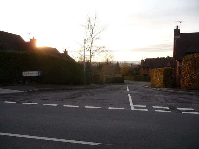
Today, Cobbler's Plain retains its rural charm, with a scattering of traditional stone cottages and farmhouses dotting the landscape. The village is home to a close-knit community, and its residents take pride in preserving the area's cultural heritage.
While Cobbler's Plain is a small village, there are several amenities available to residents and visitors. These include a local pub, a village hall, and a small convenience store. The village also hosts various community events throughout the year, such as fairs and festivals, which bring people together and contribute to the vibrant atmosphere.
For outdoor enthusiasts, Cobbler's Plain offers a range of activities. The surrounding countryside provides ample opportunities for hiking, cycling, and horseback riding. Nearby attractions, such as the Brecon Beacons, offer breathtaking views and further recreational opportunities.
Overall, Cobbler's Plain in Monmouthshire is a charming village that combines natural beauty with a strong sense of community, making it an idyllic place to visit or call home.
If you have any feedback on the listing, please let us know in the comments section below.
Cobbler's Plain Images
Images are sourced within 2km of 51.704547/-2.754942 or Grid Reference SO4700. Thanks to Geograph Open Source API. All images are credited.


Cobbler's Plain is located at Grid Ref: SO4700 (Lat: 51.704547, Lng: -2.754942)
Unitary Authority: Monmouthshire
Police Authority: Gwent
What 3 Words
///treatable.rider.assembles. Near Tintern, Monmouthshire
Nearby Locations
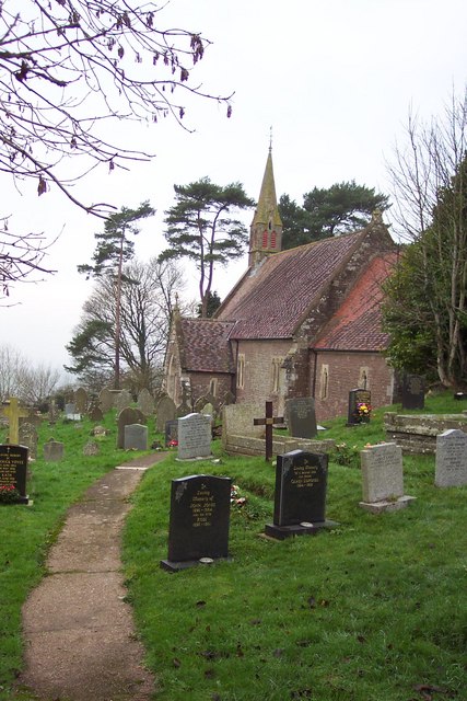
Related Wikis

Trelleck Grange
Trelleck Grange (or Trellech Grange) is a small hamlet in a rural area of Monmouthshire, south east Wales, United Kingdom, about seven miles south of Monmouth...

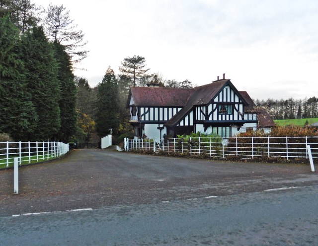
Tredean House, Devauden
Tredean House, Devauden, Monmouthshire is a country house dating from 1901 to 1902. It was designed in an Arts and Crafts style by the architect Arthur...

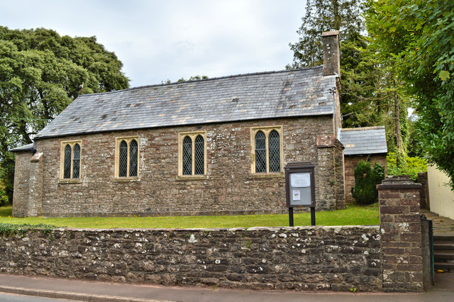
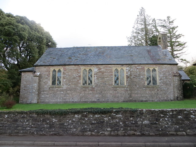
St Michael's Church, Llanfihangel Tor-y-Mynydd
The Church of St Michael, Llanfihangel Tor-y-Mynydd, Monmouthshire is a parish church with its origins in the 14th or 15th century. A Grade II* listed...

Devauden
Devauden (Welsh: Y Dyfawden) is a village and community in Monmouthshire, southeast Wales. It is located between Chepstow and Monmouth near the top of...
Llanishen, Monmouthshire
Llanishen (Welsh: Llanisien) is a village in Monmouthshire, southeast Wales, United Kingdom. It is located 7 miles (11 km) southwest of Monmouth and 3...

Llanfihangel Tor-y-Mynydd
Llanfihangel Tor-y-Mynydd (or more correctly Llanfihangel-tor-y-mynydd, meaning, in Welsh, "the church of St. Michael on the breast of the mountain") is...

Church of St Thomas à Becket, Wolvesnewton
The Church of Saint Thomas à Becket in Wolvesnewton, Monmouthshire, Wales has its origins in the 13th century. Restored in the 19th century, it remains...
Wolvesnewton
Wolvesnewton (Welsh: Llanwynell) is a small village in Monmouthshire, Wales. == Location == Wolvesnewton, sometimes historically Wolves Newton, is in the...
Nearby Amenities
Located within 500m of 51.704547,-2.754942Have you been to Cobbler's Plain?
Leave your review of Cobbler's Plain below (or comments, questions and feedback).