Millhill Wood
Wood, Forest in Lancashire Fylde
England
Millhill Wood

Millhill Wood, located in Lancashire, is a captivating forest that spans across a vast area. It is a popular destination for nature enthusiasts and those seeking tranquility amidst the serene surroundings. The wood is well-preserved and boasts a diverse range of flora and fauna, making it a haven for wildlife.
The dense canopy of Millhill Wood is predominantly composed of towering oak trees, which provide a sheltered habitat for various woodland creatures. Additionally, the wood is home to an array of other tree species such as beech, birch, and ash, creating a rich and vibrant ecosystem. The forest floor is adorned with a carpet of mosses, ferns, and wildflowers, adding to the enchanting atmosphere.
Visitors to Millhill Wood can explore its numerous walking trails that meander through its verdant landscape. These paths offer an opportunity to immerse oneself in the peaceful ambiance while observing the diverse flora and fauna. Birdwatchers will delight in the chance to spot a variety of avian species, including woodpeckers, owls, and songbirds.
The wood is a designated nature reserve, ensuring its protection and preservation. This status also allows for educational activities and guided tours to take place, enabling visitors to learn about the importance of woodland conservation. The reserve is managed by a dedicated team of professionals who work tirelessly to maintain the delicate balance of the ecosystem.
Millhill Wood, Lancashire, is a true gem for nature lovers, providing a serene escape from the hustle and bustle of everyday life. Its beauty and biodiversity make it a must-visit destination for anyone seeking a peaceful retreat in the heart of nature.
If you have any feedback on the listing, please let us know in the comments section below.
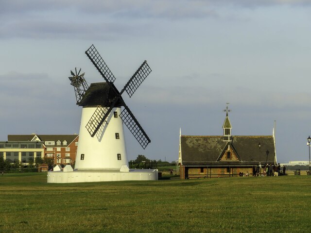
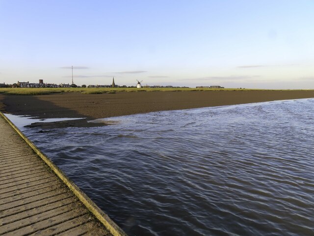
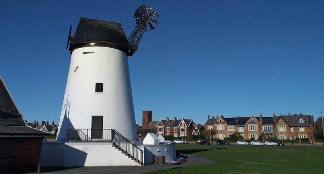
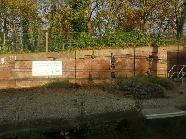
Millhill Wood Images
Images are sourced within 2km of 53.740117/-2.9760667 or Grid Reference SD3527. Thanks to Geograph Open Source API. All images are credited.


Millhill Wood is located at Grid Ref: SD3527 (Lat: 53.740117, Lng: -2.9760667)
Administrative County: Lancashire
District: Fylde
Police Authority: Lancashire
What 3 Words
///fork.cupboards.needed. Near Lytham St Annes, Lancashire
Nearby Locations
Related Wikis

Lytham rail crash
The derailment of a passenger train at Lytham, Lancashire, England occurred when the front tyre of the locomotive fractured. The crash caused the loss...

Lifeboat Memorial, Lytham
The Lifeboat Memorial, Lytham, is in the churchyard of St Cuthbert's Church, Lytham St Annes, Fylde, Lancashire, England. It commemorates the death of...
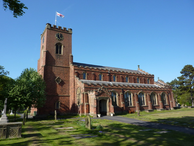
St Cuthbert's Church, Lytham
St Cuthbert's is an Anglican church in Lytham, Lancashire, England. It was built 1834–1835, replacing a previous church on the same site. It is an active...
Church Road Ground
Lytham Cricket & Sports Club is a cricket ground in Lytham, Lancashire. The first recorded match on the ground was in 1844, when Lytham played Kirkham...
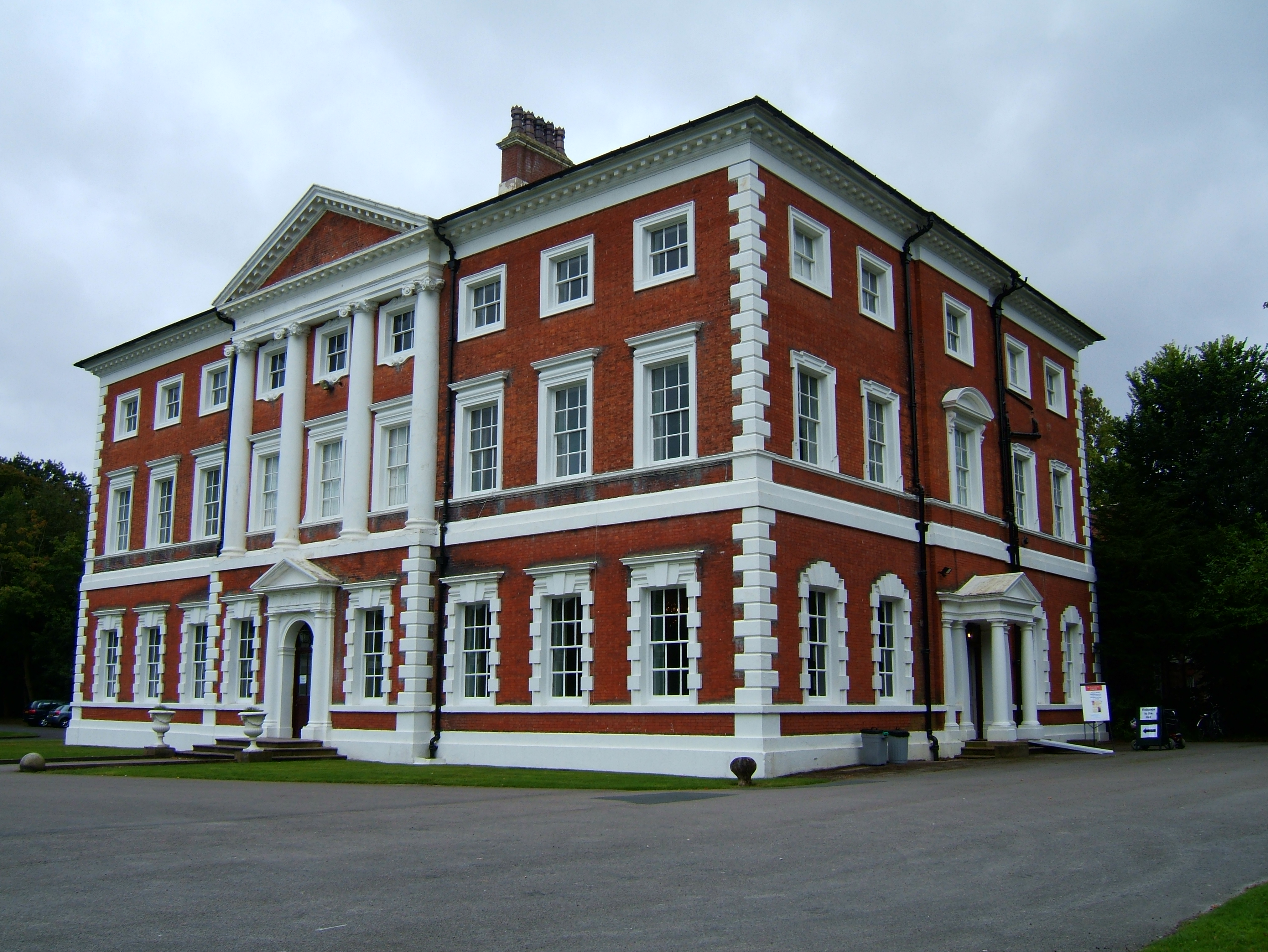
Lytham Hall
Lytham Hall is an 18th-century Georgian country house in Lytham, Lancashire, 1 mile (1.6 km) from the centre of the town, in 78 acres (32 ha) of wooded...
Lytham Priory
Lytham Priory was an English Benedictine priory in Lytham, Lancashire. It was founded between 1189 and 1194 by Richard Fitz Roger as a cell of Durham...

Lytham railway station
Lytham railway station serves the Lytham area within Lytham St Annes, Lancashire, England, on the Blackpool South to Preston railway line. == Services... ==

Woodlands Memorial Ground
Woodlands Memorial Ground is a rugby stadium in Lytham St Annes, Lancashire, England. It is the home of Fylde Rugby Club and was the home of the Blackpool...
Nearby Amenities
Located within 500m of 53.740117,-2.9760667Have you been to Millhill Wood?
Leave your review of Millhill Wood below (or comments, questions and feedback).