Birk Paddock
Wood, Forest in Lancashire South Lakeland
England
Birk Paddock

Birk Paddock is a small village located in the county of Lancashire, England. Situated amidst the picturesque landscape of woodlands and forests, it offers residents and visitors a serene and tranquil atmosphere. The village is nestled in the heart of Lancashire, surrounded by lush greenery and stunning countryside views.
Known for its natural beauty, Birk Paddock boasts an abundance of woodlands and forests, making it a haven for nature enthusiasts and outdoor lovers. The area is home to various species of trees, including oak, beech, and birch, which contribute to the village's scenic charm. The woodlands provide ample opportunities for walking, hiking, and exploring, allowing visitors to immerse themselves in the peaceful surroundings.
In addition to its natural attractions, Birk Paddock also has a close-knit community that prides itself on its friendly and welcoming atmosphere. The village features a small number of residences, giving it a cozy and intimate feel. The locals are known for their strong community spirit and actively organize events and activities, fostering a sense of togetherness among residents.
Although Birk Paddock is a quiet village, it is conveniently located near larger towns and cities. The nearby town of Lancashire offers a range of amenities, including shops, restaurants, and entertainment options. This allows residents of Birk Paddock to enjoy a peaceful village lifestyle while still having access to urban conveniences.
Overall, Birk Paddock is a charming village situated in the heart of Lancashire's woodlands and forests. Its natural beauty, coupled with a tight-knit community, makes it an idyllic destination for those seeking a tranquil retreat or a place to call home.
If you have any feedback on the listing, please let us know in the comments section below.
Birk Paddock Images
Images are sourced within 2km of 54.317341/-2.9974314 or Grid Reference SD3591. Thanks to Geograph Open Source API. All images are credited.


Birk Paddock is located at Grid Ref: SD3591 (Lat: 54.317341, Lng: -2.9974314)
Administrative County: Cumbria
District: South Lakeland
Police Authority: Cumbria
What 3 Words
///confetti.compound.gobbles. Near Windermere, Cumbria
Nearby Locations
Related Wikis

Satterthwaite & Rusland School
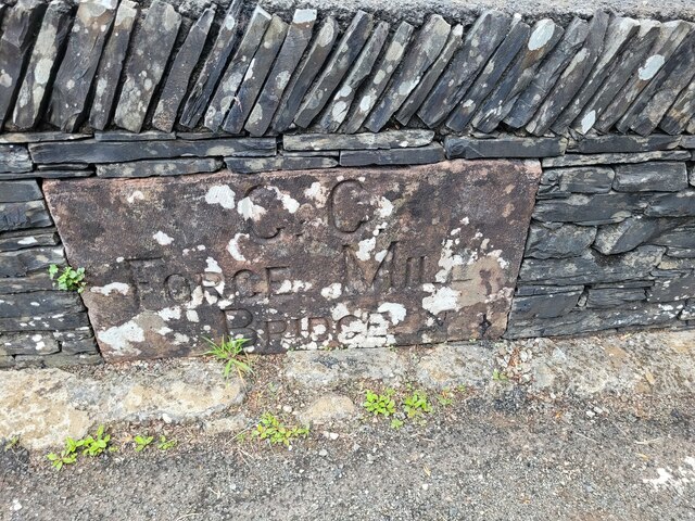
Satterthwaite & Rusland School was a Church of England Primary school near Force Forge in the Rusland Valley. The school was established in 1840 for children...

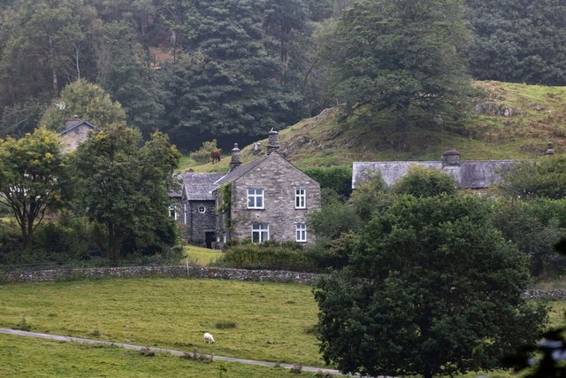
Satterthwaite
Satterthwaite is a small village (and civil parish) with around 50 dwellings situated in Grizedale, a valley in the Lake District, England, about four...
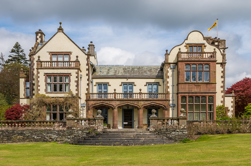
Graythwaite Hall
Graythwaite Hall, in Ulverston, Cumbria in the Lake District of England is the home of the Sandys family. One of the more famous members of the family...

Crosslands
Crosslands is a hamlet in the South Lakeland district of Cumbria, England. It is located just to the northeast of Rusland in the civil parish of Colton...

Grizedale Hall
Grizedale Hall was a large country house at Grizedale, Hawkshead, in the Lake District in Cumbria, England. After two earlier Grizedale Halls had preceded...
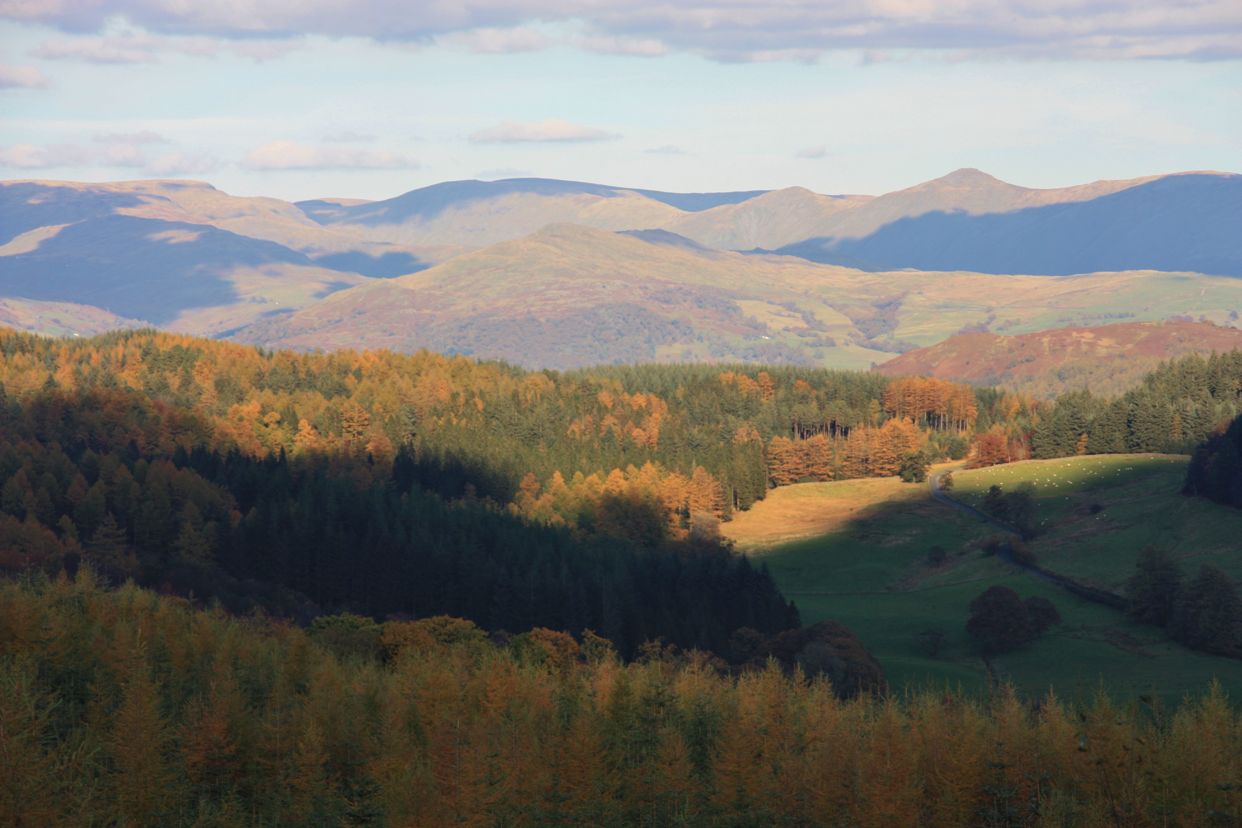
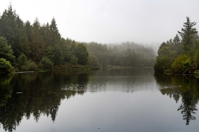
Grizedale Forest
Grizedale Forest is a 24.47 km2 area of woodland in the Lake District of North West England, located to the east of Coniston Water and to the south of...

Rusland, Cumbria
Rusland is a village in the South Lakeland district of Cumbria, England. It is located just to the southwest of Crosslands in the civil parish of Colton...
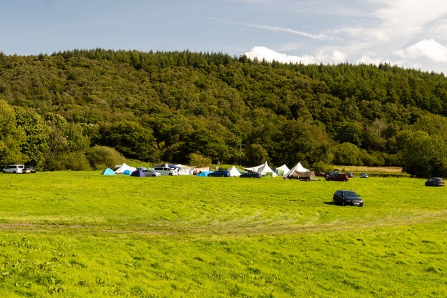
Grizedale
Grizedale is a hamlet in the Lake District of North West England, in the middle of the Grizedale Forest, located north of Satterthwaite and south of Hawkshead...
Nearby Amenities
Located within 500m of 54.317341,-2.9974314Have you been to Birk Paddock?
Leave your review of Birk Paddock below (or comments, questions and feedback).