Belmount Wood
Wood, Forest in Lancashire South Lakeland
England
Belmount Wood
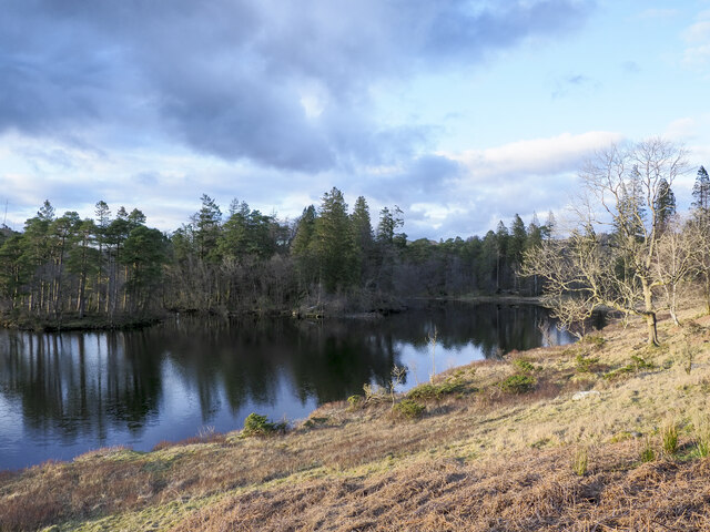
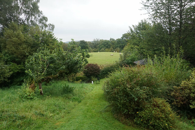
Belmount Wood, located in Lancashire, is a picturesque woodland area that covers approximately 50 hectares of land. This sprawling forest is known for its rich biodiversity and stunning natural beauty. It is situated near the town of Chorley, making it easily accessible to visitors from the surrounding areas.
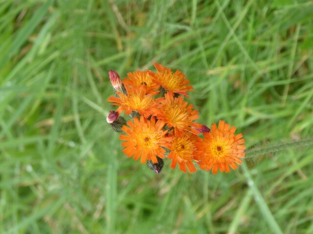
The wood is predominantly composed of native broadleaf trees, including oak, birch, and beech, which create a lush and vibrant canopy. The dense vegetation provides a haven for various wildlife species, such as deer, foxes, and a plethora of bird species, making it a popular spot for wildlife enthusiasts and birdwatchers.
Belmount Wood offers a network of well-maintained walking trails, allowing visitors to explore the area at their own pace. The paths wind through the woodland, offering breathtaking views of the surrounding countryside and providing opportunities to observe the diverse flora and fauna up close.
The wood is managed by a dedicated team of conservationists who work to maintain its natural integrity and protect the delicate ecosystem it supports. They also organize educational events and guided tours, providing visitors with the opportunity to learn about the importance of woodland conservation and the various species that call Belmount Wood their home.
Overall, Belmount Wood is a tranquil and captivating destination for nature lovers, offering a serene environment to escape the hustle and bustle of everyday life and reconnect with the beauty of the natural world.
If you have any feedback on the listing, please let us know in the comments section below.
Belmount Wood Images
Images are sourced within 2km of 54.3876/-2.9991658 or Grid Reference SD3599. Thanks to Geograph Open Source API. All images are credited.


Belmount Wood is located at Grid Ref: SD3599 (Lat: 54.3876, Lng: -2.9991658)
Administrative County: Cumbria
District: South Lakeland
Police Authority: Cumbria
What 3 Words
///gravitate.testy.pitchers. Near Ambleside, Cumbria
Related Wikis

Beatrix Potter Gallery
The Beatrix Potter Gallery is a gallery run by the National Trust in a 17th-century stone-built house in Hawkshead, Cumbria, England. It is dedicated to...

Hawkshead
Hawkshead is a village and civil parish in Westmorland and Furness, Cumbria, England. Within the boundaries of the historic county of Lancashire, the parish...

Hawkshead Market Hall
Hawkshead Market Hall, also known as Hawkshead Town Hall, is a municipal building in The Square in Hawkshead, Cumbria, England. The building, which is...

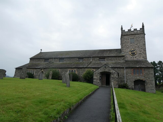
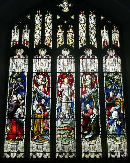
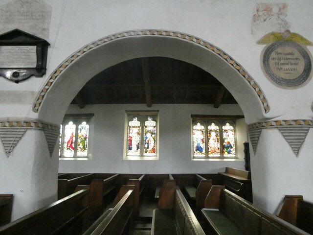
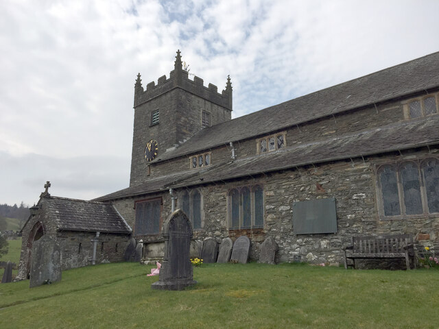
St Michael and All Angels Church, Hawkshead
St Michael and All Angels Church is in the village of Hawkshead, Cumbria, England. It is an active Anglican parish church in the deanery of Windermere...
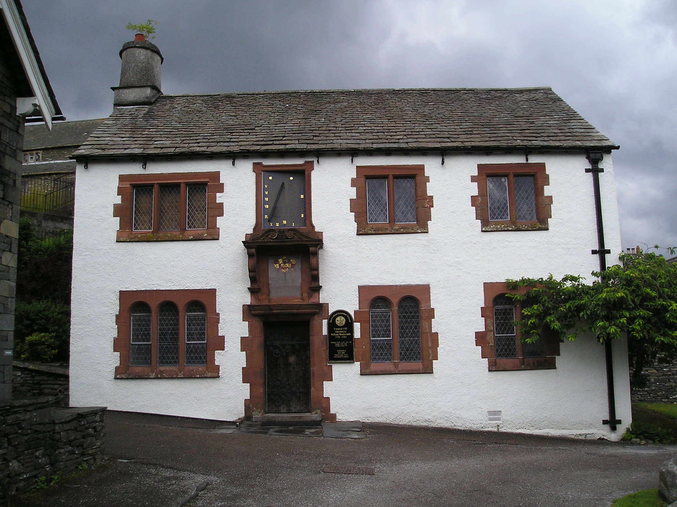
Hawkshead Grammar School
Hawkshead Grammar School in Hawkshead, Cumbria, England was founded in 1585 by Archbishop Edwin Sandys, the incumbent Archbishop of York, whose family...

Hawkshead Grammar School Museum
The museum operates in the old Hawkshead Grammar School building from 1 April through to 31 October. It gives an introductory talk about the school, highlighting...

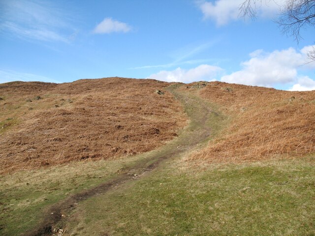
Latterbarrow
Latterbarrow is a hill in the English Lake District, east of Hawkshead, Cumbria. It is the subject of a chapter of Wainwright's book The Outlying Fells...

Blelham Tarn
Blelham Tarn is a large valley tarn in the Lake District of England, to the north of the hill Latterbarrow. The settlements of Outgate, Low Wray and High...
Related Videos

Lake District Walks - Hiking to Beautiful TARN HOWS - Amazing Views!!!
It's a bright and sunny day and there are plenty of sheep and cows in the fields as we head off from the Coniston Park Coppice ...
Tarn Hows | Lake District Family Walk Near Ambleside | PRAM FRIENDLY | Feat. Drone Footage
Tarn Hows is an easy Lake District walk, located between Coniston and Ambleside. It's majestic views can be enjoyed by all ...

Walking around Hawkshead and the surrounding countryside. The Lake District, Cumbria, England.
We spent two days walking around the Village of Hawkshead and the surrounding countryside. Hawkshead is a beautiful village ...

Tarn Hows and Black Fell walking guide is up! #lakedistrict #walking #hiking #rambling #travel
A walking guide for a route in the heart of the Lake District: a circular ramble around Tarn Hows and Black Fell, filmed on a ...
Nearby Amenities
Located within 500m of 54.3876,-2.9991658Have you been to Belmount Wood?
Leave your review of Belmount Wood below (or comments, questions and feedback).