Crag Wood
Wood, Forest in Lancashire South Lakeland
England
Crag Wood

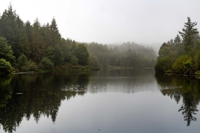
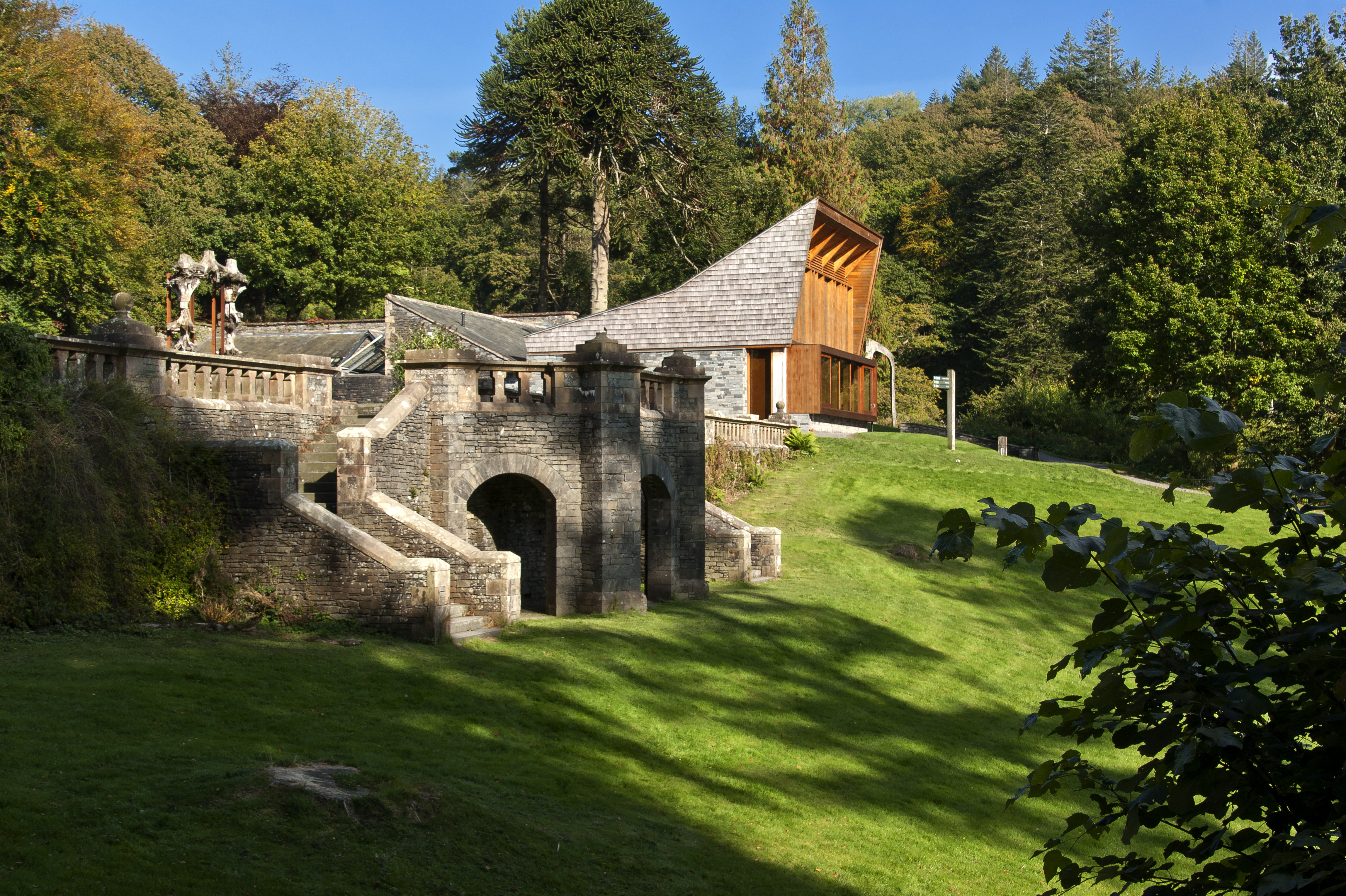
Crag Wood is a picturesque woodland located in Lancashire, England. Situated near the village of Wood, this natural gem covers an area of approximately 100 acres. The wood is a striking example of a mixed broadleaf forest, featuring a diverse range of tree species including oak, birch, beech, and ash. The dense canopy created by these trees provides a haven for a wide variety of wildlife.
The woodland is crisscrossed with a network of footpaths, allowing visitors to explore its enchanting beauty. As one traverses these paths, they will encounter a plethora of native fauna and flora. Crag Wood is home to a rich assortment of bird species, including woodpeckers, thrushes, and owls. The forest floor is adorned with an array of wildflowers, such as bluebells and primroses, which create a vibrant tapestry of colors during the spring season.
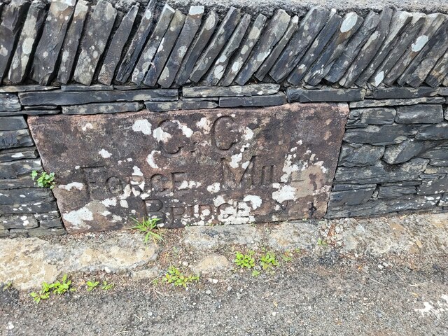
The wood is also notable for its historical significance. It is believed that Crag Wood has been in existence for centuries, with remnants of ancient settlements and structures scattered throughout the area. These archaeological features contribute to the wood's charm and provide a glimpse into its past.
Crag Wood is a popular destination for nature enthusiasts, hikers, and photographers who are captivated by its natural beauty. The tranquil atmosphere and magnificent scenery make it an ideal place to escape the hustle and bustle of everyday life. Whether one is seeking a peaceful stroll or a deeper connection with nature, Crag Wood offers an unforgettable experience for all who visit.
If you have any feedback on the listing, please let us know in the comments section below.
Crag Wood Images
Images are sourced within 2km of 54.318755/-2.9981574 or Grid Reference SD3591. Thanks to Geograph Open Source API. All images are credited.


Crag Wood is located at Grid Ref: SD3591 (Lat: 54.318755, Lng: -2.9981574)
Administrative County: Cumbria
District: South Lakeland
Police Authority: Cumbria
What 3 Words
///mammoth.corrupted.pill. Near Windermere, Cumbria
Nearby Locations
Related Wikis

Satterthwaite & Rusland School
Satterthwaite & Rusland School was a Church of England Primary school near Force Forge in the Rusland Valley. The school was established in 1840 for children...

Satterthwaite
Satterthwaite is a small village (and civil parish) with around 50 dwellings situated in Grizedale, a valley in the Lake District, England, about four...
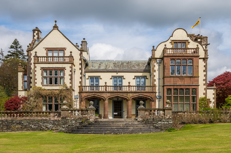
Graythwaite Hall
Graythwaite Hall, in Ulverston, Cumbria in the Lake District of England is the home of the Sandys family. One of the more famous members of the family...

Crosslands
Crosslands is a hamlet in the South Lakeland district of Cumbria, England. It is located just to the northeast of Rusland in the civil parish of Colton...

Grizedale Hall
Grizedale Hall was a large country house at Grizedale, Hawkshead, in the Lake District in Cumbria, England. After two earlier Grizedale Halls had preceded...
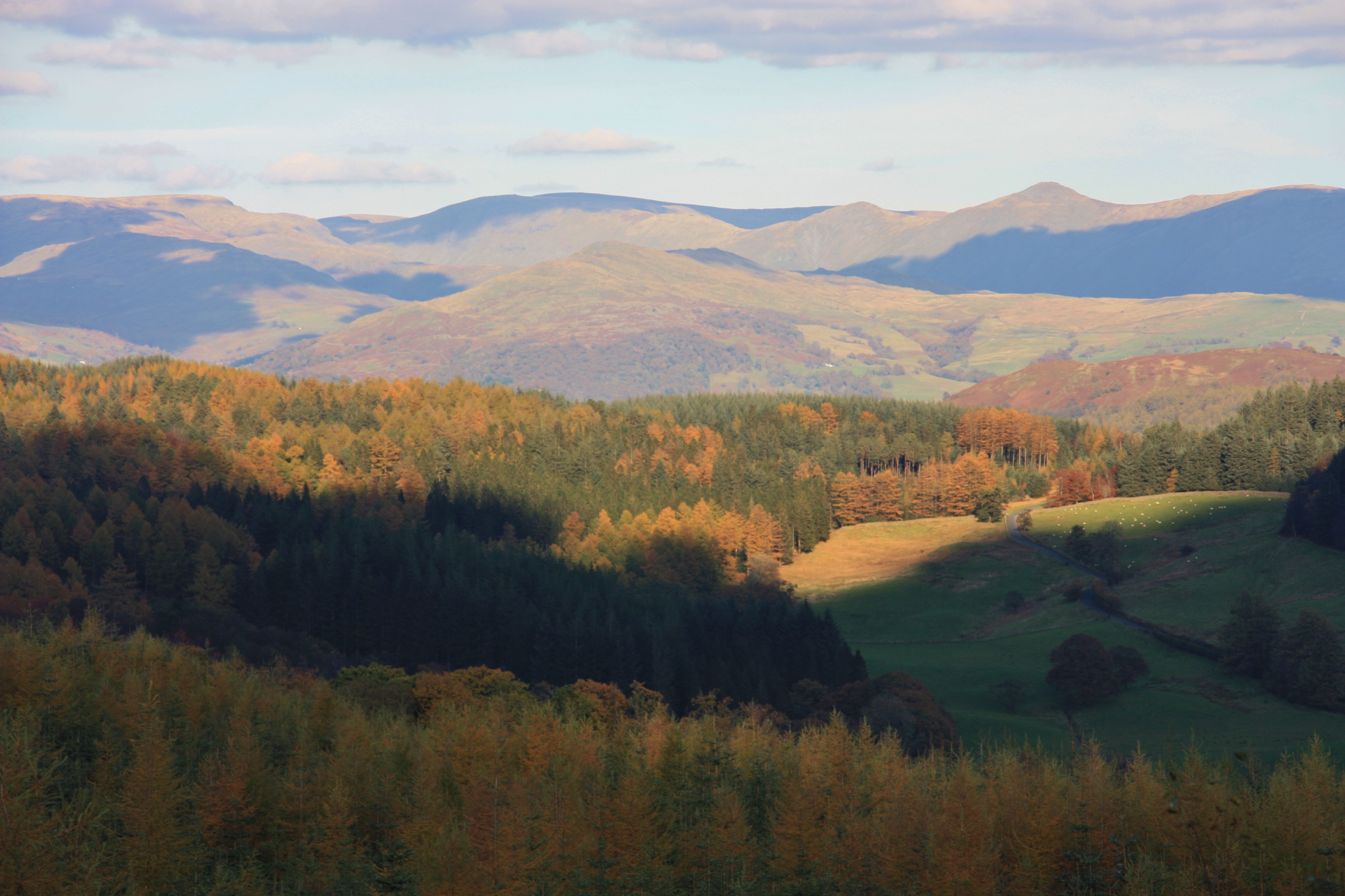
Grizedale Forest
Grizedale Forest is a 24.47 km2 area of woodland in the Lake District of North West England, located to the east of Coniston Water and to the south of...
Grizedale
Grizedale is a hamlet in the Lake District of North West England, in the middle of the Grizedale Forest, located north of Satterthwaite and south of Hawkshead...

Rusland, Cumbria
Rusland is a village in the South Lakeland district of Cumbria, England. It is located just to the southwest of Crosslands in the civil parish of Colton...
Nearby Amenities
Located within 500m of 54.318755,-2.9981574Have you been to Crag Wood?
Leave your review of Crag Wood below (or comments, questions and feedback).