Allt-yr-ynys
Wood, Forest in Herefordshire
England
Allt-yr-ynys
Allt-yr-ynys is a small village located in the county of Herefordshire, England. Nestled amongst lush greenery and rolling hills, it is known for its picturesque woodlands and enchanting forests. The name "Allt-yr-ynys" is derived from the Welsh language, meaning "wood on the island." This name is fitting, as the village is surrounded by the River Wye, giving it a distinct island-like feel.
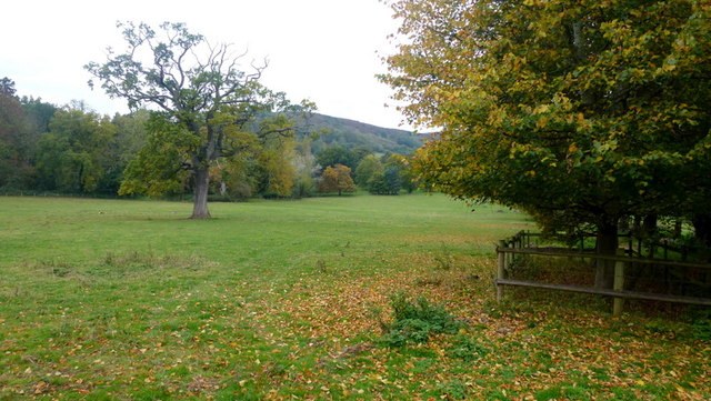
The woodlands of Allt-yr-ynys are a haven for nature lovers and outdoor enthusiasts. Visitors can explore a network of well-maintained trails that wind through the forests, offering stunning views of the surrounding countryside. The area is rich in biodiversity, with a variety of plant and animal species calling it home. It is not uncommon to spot deer, foxes, and a wide array of birdlife while exploring the woodlands.
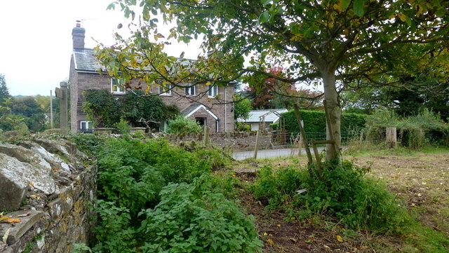
In addition to its natural beauty, Allt-yr-ynys has a rich history dating back centuries. The village is dotted with charming cottages and historic buildings, giving it a quaint and timeless appeal. The local community takes great pride in preserving the village's heritage and maintaining its traditional character.
Allt-yr-ynys is also a popular destination for those seeking tranquility and a break from the busy city life. The peaceful atmosphere, combined with the stunning natural surroundings, makes it an ideal place for relaxation and rejuvenation. Whether it's hiking through the woodlands, enjoying a picnic by the river, or simply taking in the scenic beauty, Allt-yr-ynys offers a unique and memorable experience for visitors.
If you have any feedback on the listing, please let us know in the comments section below.
Allt-yr-ynys Images
Images are sourced within 2km of 51.906539/-2.9634146 or Grid Reference SO3323. Thanks to Geograph Open Source API. All images are credited.
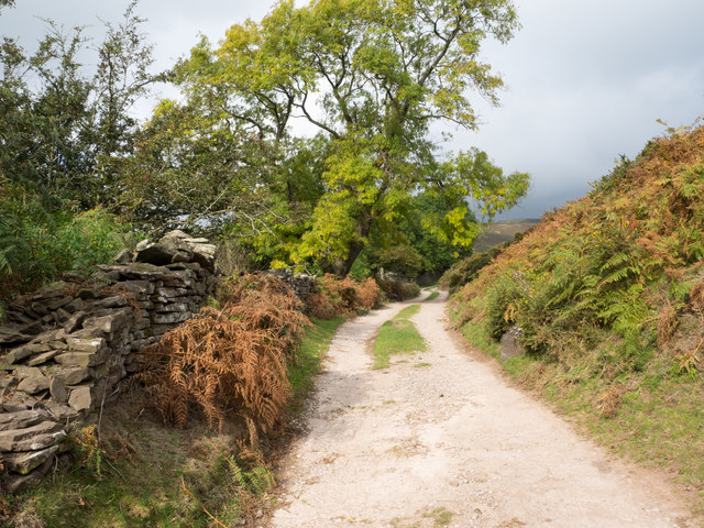
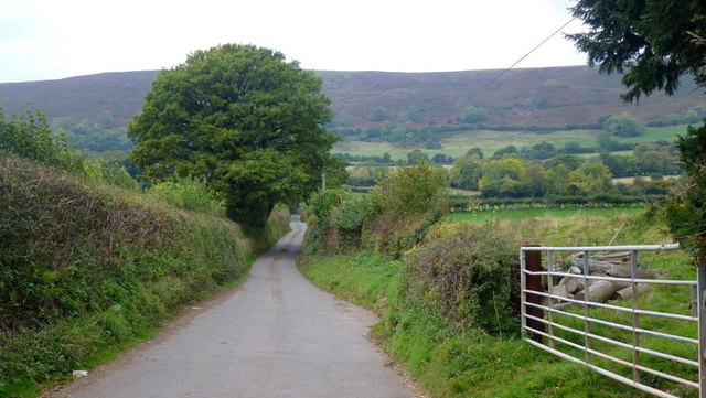
![The only road in and out of Oldcastle Descending to the Monnow valley [Nant Mynwy].](https://s2.geograph.org.uk/geophotos/05/41/55/5415582_8e479efe.jpg)
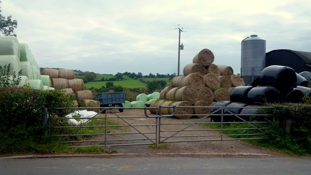
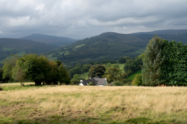
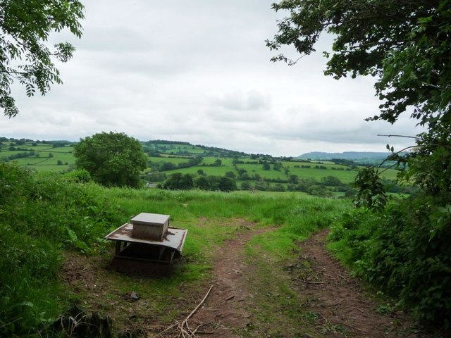
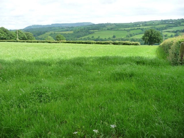
![Farmland near the Goytree [previously Upper Goytre] Looking south from a field entrance on a lane called The Vineyard. Ysgyryd Fawr [The Skirrid] is prominent on the skyline, about 8 kilometres away.](https://s2.geograph.org.uk/geophotos/05/42/69/5426934_fc9b1975.jpg)
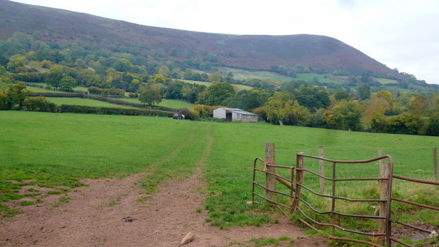
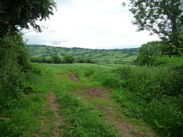
![Hedged field boundaries, south of Lincoln House About 210 metres above sea level, near The Goytree [previously Upper Goytre].](https://s3.geograph.org.uk/geophotos/05/42/69/5426939_ee7109b1.jpg)
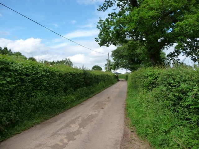
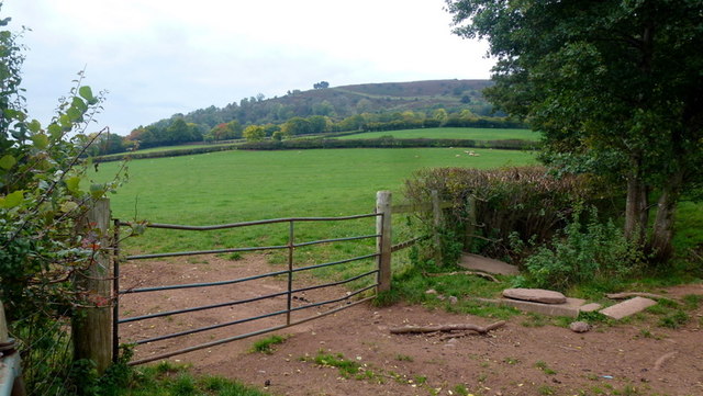
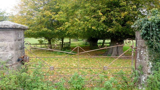
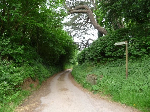
![A lane called The Vineyard Heading south-west to the entrance to Vineyard Farm [and beyond].](https://s2.geograph.org.uk/geophotos/05/42/69/5426950_308fb052.jpg)
Allt-yr-ynys is located at Grid Ref: SO3323 (Lat: 51.906539, Lng: -2.9634146)
Unitary Authority: County of Herefordshire
Police Authority: West Mercia
What 3 Words
///mixing.survived.heavy. Near Llancillo, Herefordshire
Nearby Locations
Related Wikis

River Honddu (Monmouthshire)
The River Honddu (Welsh: Afon Honddu) (pronounced hon-thee) is a river in the Black Mountains within the Brecon Beacons National Park, southeast Wales...

Pandy railway station
Pandy railway station was a railway station which served the Monmouthshire village of Pandy. It was located on the Welsh Marches Line between Hereford...

Trewyn House
Trewyn House, Llanvihangel Crucorney, Monmouthshire, Wales, is a country house dating from 1692. Its origins are older but the present building was constructed...

Pandy, Monmouthshire
Pandy is a hamlet in Monmouthshire, south east Wales, United Kingdom. == Location == Pandy is 5 miles (8 km) north of Abergavenny on the A465 road to Hereford...
Nearby Amenities
Located within 500m of 51.906539,-2.9634146Have you been to Allt-yr-ynys?
Leave your review of Allt-yr-ynys below (or comments, questions and feedback).