Walterstone

Civil Parish in Herefordshire

England

Walterstone

Lane to Oldcastle As can be seen, the hamlet nestles in the shelter of Hatterrall Hill.
Lane to Oldcastle Credit: Jonathan Billinger

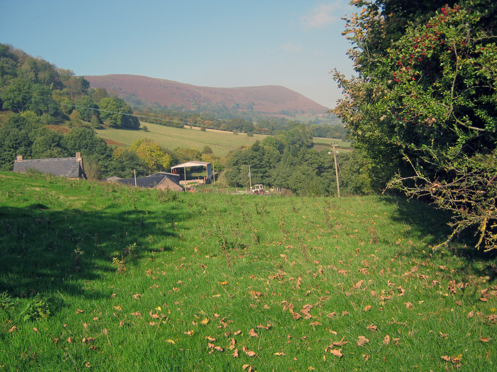
Walterstone is a civil parish located in the county of Herefordshire, England. Situated in the picturesque Golden Valley, it is surrounded by rolling hills and stunning countryside. The parish covers an area of approximately 10 square miles and is home to a small rural community.

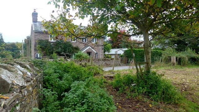
The village of Walterstone itself is made up of a cluster of traditional stone cottages and houses, many of which date back to the 17th and 18th centuries. The village is centered around the Church of St. Mary the Virgin, a beautiful medieval church that has stood as a focal point for the community for centuries.

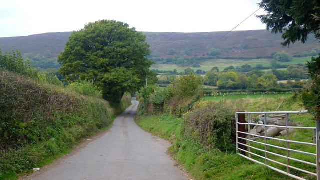
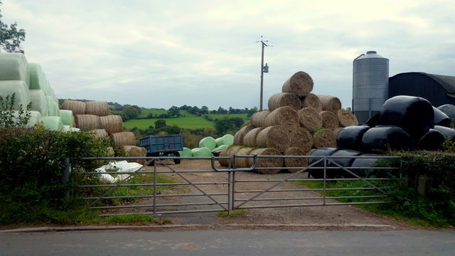
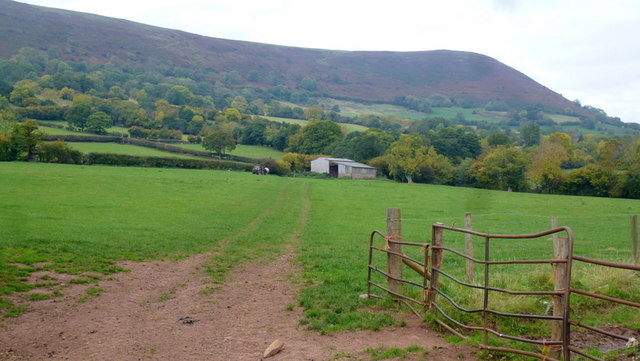
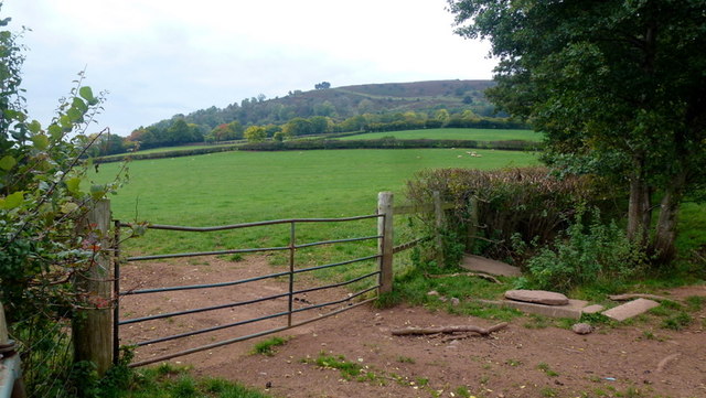
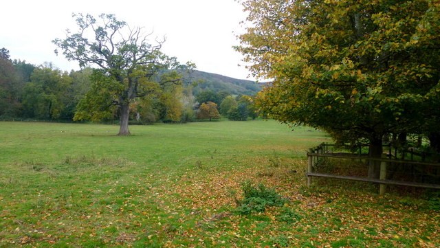
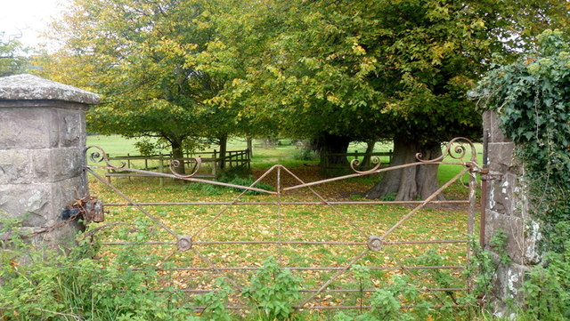
The parish is predominantly agricultural, with farming playing a vital role in the local economy. The landscape is characterized by lush green fields, meandering streams, and picturesque woodlands, providing a serene and idyllic setting for both residents and visitors alike.

Although small in size, Walterstone offers a range of amenities to cater to the needs of its community. These include a village hall, a local pub, and a primary school, ensuring that residents have access to essential services within close proximity.

For those who enjoy outdoor pursuits, Walterstone offers ample opportunities for walking, cycling, and exploring the surrounding natural beauty. The parish is also within easy reach of the larger towns of Hereford and Abergavenny, where residents can find a wider range of amenities and services.

In summary, Walterstone is a charming and tranquil civil parish in Herefordshire, known for its stunning countryside, historic buildings, and close-knit community.

If you have any feedback on the listing, please let us know in the comments section below.

Walterstone Images

Images are sourced within 2km of 51.904499/-2.968406 or Grid Reference SO3323. Thanks to Geograph Open Source API. All images are credited.

Lane to Oldcastle As can be seen, the hamlet nestles in the shelter of Hatterrall Hill.
Lane to Oldcastle
As can be seen, the hamlet nestles in the shelter of Hatterrall Hill.
Silage/haylage storage Farm premises opposite the dead-end lane to Oldcastle.
Silage/haylage storage
Farm premises opposite the dead-end lane to Oldcastle.
Barn in the shadow of Hatterrall Hill Looking along the line of a footpath from the Pandy road.
Barn in the shadow of Hatterrall Hill
Looking along the line of a footpath from the Pandy road.
Farmland below Pentwyn hill fort Lush grazing land on the side of the Monnow valley.
Farmland below Pentwyn hill fort
Lush grazing land on the side of the Monnow valley.
Line of a footpath Heading north-west from Trewyn Lodge.
The hill beyond is Pentwyn hillfort and is at the southern tip of the Hatterrall Ridge which forms the English/Welsh border from Pandy to Hay Bluff.
Line of a footpath
Heading north-west from Trewyn Lodge. The hill beyond is Pentwyn hillfort and is at the southern tip of the Hatterrall Ridge which forms the English/Welsh border from Pandy to Hay Bluff.
Old iron gate Suggestive of the park-like appearance of the field opposite Trewyn Lodge.
See also <a href="https://www.geograph.org.uk/photo/4234222">SO3322 : Gate at Trewyn Lodge, Pandy</a> showing Geographers' minds tend to think alike.
Old iron gate
Suggestive of the park-like appearance of the field opposite Trewyn Lodge. See also SO3322 : Gate at Trewyn Lodge, Pandy showing Geographers' minds tend to think alike.
Trewyn Lodge Viewed from just inside the field on a public footpath.
How many nettle-infested corners like this are there in this great country of ours?
Trewyn Lodge
Viewed from just inside the field on a public footpath. How many nettle-infested corners like this are there in this great country of ours?
Lane to Tre-wyn By Trawellwyd the lane to Tre-wyn
Lane to Tre-wyn
By Trawellwyd the lane to Tre-wyn
Ger Trawellwyd / Near Trawellwyd Cerddwyr yn dilyn heol fach ger anhedd-dy o'r enw Trawellwyd.

Walkers following a minor road near a property called Trawellwyd.
Ger Trawellwyd / Near Trawellwyd
Cerddwyr yn dilyn heol fach ger anhedd-dy o'r enw Trawellwyd. Walkers following a minor road near a property called Trawellwyd.
Werngifford Werngifford is a community off the A465 midway between Llanvihangel Crucorney and Pandy. To the left is the community hall.
Werngifford
Werngifford is a community off the A465 midway between Llanvihangel Crucorney and Pandy. To the left is the community hall.
Long distance paths The Offa's Dyke Path and Beacons Way join forces across this ascending grassy field at the start of the south-east end of the Black Mountains.
The hill to the left is Llwygy, 270m.
Overhead, an oak tree.
Long distance paths
The Offa's Dyke Path and Beacons Way join forces across this ascending grassy field at the start of the south-east end of the Black Mountains. The hill to the left is Llwygy, 270m. Overhead, an oak tree.
Summer pasture View from a footpath stile to the west of Treveddw.
Summer pasture
View from a footpath stile to the west of Treveddw.
Offa's Dyke Path and Beacons Way, 1 This is the top end of the field by Trostrey Barn, seen from the bottom in <a href="https://www.geograph.org.uk/photo/5022980">SO3221 : Long distance paths</a>.
Offa's Dyke Path and Beacons Way, 1
This is the top end of the field by Trostrey Barn, seen from the bottom in SO3221 : Long distance paths.
Offa's Dyke Path and Beacons Way, 2 This is the top end of the field by Trostrey Barn, seen from the bottom in <a href="https://www.geograph.org.uk/photo/5022980">SO3221 : Long distance paths</a>.
A mighty fine view of Ysgyryd Fawr from here.
Offa's Dyke Path and Beacons Way, 2
This is the top end of the field by Trostrey Barn, seen from the bottom in SO3221 : Long distance paths. A mighty fine view of Ysgyryd Fawr from here.
Offa's Dyke Path and Beacons Way, 3 This is the top end of the field by Trostrey Barn, seen from the bottom in <a href="https://www.geograph.org.uk/photo/5022980">SO3221 : Long distance paths</a>.
A mighty fine view of Ysgyryd Fawr from here.
Offa's Dyke Path and Beacons Way, 3
This is the top end of the field by Trostrey Barn, seen from the bottom in SO3221 : Long distance paths. A mighty fine view of Ysgyryd Fawr from here.
Lane at Dan-y-bwlch Looking east towards the farm.
The road is pretty poor here and gets worse as it descends to the Cwmyoy road.
Older mapping (which I have) indicates a yellow driveable lane. Later published maps show it as white lane. There is a sign at the bottom of the hill 'Unsuitable For Motors', but I didn't see one at the Dan-y-bwlch end. There is, however, a gate which I let myself through.
The lane was just passable in my small car, but I'm glad I was going downhill.
See Phil's <a href="https://www.geograph.org.uk/photo/2121633">SO3122 : Unsuitable for Motors</a> and I can put paid to speculation; don't try to drive up here.
Lane at Dan-y-bwlch
Looking east towards the farm. The road is pretty poor here and gets worse as it descends to the Cwmyoy road. Older mapping (which I have) indicates a yellow driveable lane. Later published maps show it as white lane. There is a sign at the bottom of the hill 'Unsuitable For Motors', but I didn't see one at the Dan-y-bwlch end. There is, however, a gate which I let myself through. The lane was just passable in my small car, but I'm glad I was going downhill. See Phil's SO3122 : Unsuitable for Motors and I can put paid to speculation; don't try to drive up here.
Gate amid the bracken A fine view south over the roof of Yewtree Cottage towards the green plateau of Bryn Arw in the centre, Ysgyryd Fawr to the left and Y Fal/Sugarloaf to the right.
Gate amid the bracken
A fine view south over the roof of Yewtree Cottage towards the green plateau of Bryn Arw in the centre, Ysgyryd Fawr to the left and Y Fal/Sugarloaf to the right.
Sheep in field with valley of Afon Honddu The valley below to the left is a tributary of the Afon Honddu, that stream flows in the one beyond above which rears Bryn Arw.
Sheep in field with valley of Afon Honddu
The valley below to the left is a tributary of the Afon Honddu, that stream flows in the one beyond above which rears Bryn Arw.
Show me another place!

Walterstone is located at Grid Ref: SO3323 (Lat: 51.904499, Lng: -2.968406)

Unitary Authority: County of Herefordshire

Police Authority: West Mercia

What 3 Words

///defenders.caves.flashing. Near Llancillo, Herefordshire

Nearby Locations

Allt-yr-ynys Walterstone

Related Wikis

River Honddu (Monmouthshire)

The River Honddu (Welsh: Afon Honddu) (pronounced hon-thee) is a river in the Black Mountains within the Brecon Beacons National Park, southeast Wales...

Pandy railway station

Pandy railway station was a railway station which served the Monmouthshire village of Pandy. It was located on the Welsh Marches Line between Hereford...

Trewyn House

Trewyn House, Llanvihangel Crucorney, Monmouthshire, Wales, is a country house dating from 1692. Its origins are older but the present building was constructed...

Trewyn Farm barn, Llanvihangel Crucorney

The barn at Trewyn Farm, Llanvihangel Crucorney, Monmouthshire is part of a complex of farm buildings dating from the late 16th century. The barn has a...

Nearby Amenities

Located within 500m of 51.904499,-2.968406
Pandy
Historic Railway: station
Railway: site
Wikidata: Q30623686
Wikipedia: en:Pandy railway station
Lat/Long: 51.9009632/-2.964984
Allt Yr Ynys
Tourism: hotel
Lat/Long: 51.9050717/-2.9674383
Powell Level Crossing
Railway: crossing
Lat/Long: 51.902885/-2.9624183
Powell Level Crossing
Railway: crossing
Lat/Long: 51.9028656/-2.962367
The data included in this document is from www.openstreetmap.org. The data is made available under ODbL.

Have you been to Walterstone?

Leave your review of Walterstone below (or comments, questions and feedback).