Waltham

Civil Parish in Kent Canterbury

England

Waltham

Ansdore village Ansdore is a tiny farming community along this short dead end road. Behind this point is the private farm of Upper Ansdore which I did not venture into.
Ansdore village Credit: David Howard

Waltham is a civil parish located in the county of Kent in southeastern England. Situated within the district of Thanet, it covers an area of approximately 6 square miles and is home to a population of around 1,200 residents.

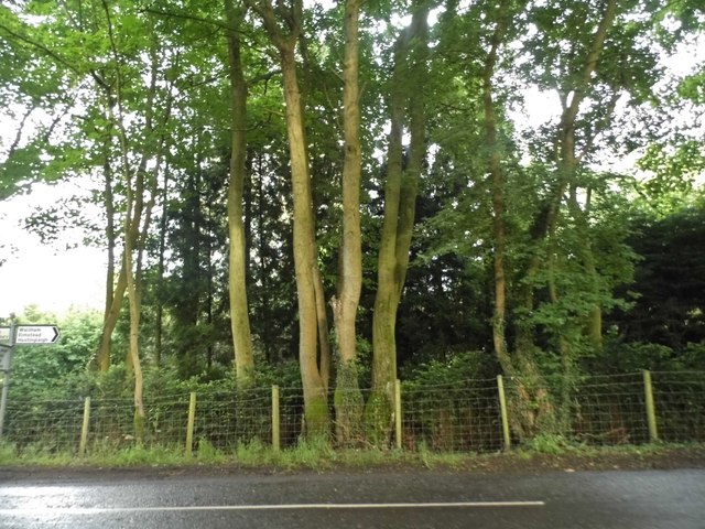
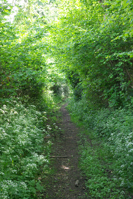
The village of Waltham is nestled in the picturesque Kentish countryside and is known for its charming rural setting, with rolling hills, meadows, and farmland surrounding the area. It is located just a few miles inland from the popular coastal towns of Margate and Broadstairs, providing residents with easy access to the seaside.

Waltham boasts a rich history, with evidence of human settlement dating back to ancient times. The parish church, dedicated to St. Bartholomew, is a prominent landmark and dates back to the 13th century. The village also features a number of traditional, timber-framed cottages that add to its historical charm.

Despite its small size, Waltham offers a range of amenities for its residents. These include a primary school, a village hall, a post office, and a local pub. The village is well-connected to surrounding areas by road, with the A299 providing access to larger towns and cities.

The tranquil and idyllic setting of Waltham, combined with its close proximity to both the countryside and the coast, make it an attractive place to live for those seeking a peaceful and picturesque lifestyle in the heart of rural Kent.

If you have any feedback on the listing, please let us know in the comments section below.

Waltham Images

Images are sourced within 2km of 51.195068/1.025338 or Grid Reference TR1148. Thanks to Geograph Open Source API. All images are credited.

Ansdore village Ansdore is a tiny farming community along this short dead end road. Behind this point is the private farm of Upper Ansdore which I did not venture into.
Ansdore village
Ansdore is a tiny farming community along this short dead end road. Behind this point is the private farm of Upper Ansdore which I did not venture into.
The road to Ansdore Off Duckpit Lane, this short track leads to the small collection of farms in Ansdore.
The road to Ansdore
Off Duckpit Lane, this short track leads to the small collection of farms in Ansdore.
Field in Ansdore
Field in Ansdore
The entrance to Springfield Farm, Ansdore
Duckpit Road, Ansdore
Fields by Duckpit Road
Richdore Road, Sole Street Like Minster, there are also two Sole Streets in Kent. This one is barely discernible and unlike the other one has no station.
Richdore Road, Sole Street
Like Minster, there are also two Sole Streets in Kent. This one is barely discernible and unlike the other one has no station.
Woodland by Waltham Road
Field near Frogs Hall A public footpath from the foreground gate goes to and through Cox Hill Wood at the far side of the field.
Field near Frogs Hall
A public footpath from the foreground gate goes to and through Cox Hill Wood at the far side of the field.
Field between Frogs Hall and Yew Tree Farm Looking towards Yew Tree Farm.
Field between Frogs Hall and Yew Tree Farm
Looking towards Yew Tree Farm.
Bridleway running south from Whiteacre Lane
Whiteacre Lane Heading nowhere in particular, but serving rural premises such as Whiteacre Farm.
Whiteacre Lane
Heading nowhere in particular, but serving rural premises such as Whiteacre Farm.
Field by Anvil Green Road
Road to Grandacre Farm
Gate and track, Dene Meadows Apart from the impressive gates, the rest of the establishment looks rather impermanent.
Gate and track, Dene Meadows
Apart from the impressive gates, the rest of the establishment looks rather impermanent.
Duckpit Road Heading north.
Duckpit Road
Heading north.
Ruin opposite Yockletts Farm Presumably once some sort of farm building. Maps indicate it has a benchmark on the side facing the road.
Ruin opposite Yockletts Farm
Presumably once some sort of farm building. Maps indicate it has a benchmark on the side facing the road.
Show me another place!

Waltham is located at Grid Ref: TR1148 (Lat: 51.195068, Lng: 1.025338)

Administrative County: Kent

District: Canterbury

Police Authority: Kent

What 3 Words

///teaching.success.regaining. Near Wye, Kent

Nearby Locations

Waltham

Related Wikis

Waltham, Kent

Waltham is a village and civil parish 7 miles (11 km) southwest of Canterbury in Kent, England. == History == The village was once associated with the...

Yockletts Bank

Yockletts Bank is a 25.4-hectare (63-acre) biological Site of Special Scientific Interest west of Stelling Minnis in Kent. It is managed by KWT and is...

Anvil Green

Anvil Green is a small settlement located near Waltham in Kent, England, about nine miles (14.4 km) north east of Ashford. == External links == Media...

Park Gate Down

Park Gate Down or Parkgate Down is a 7-hectare (17-acre) biological Site of Special Scientific Interest south-east of Stelling Minnis in Kent. It is also...

Shrub's Wood Long Barrow

Shrub's Wood Long Barrow is an unchambered long barrow located near to the village of Elmsted in the south-eastern English county of Kent. It was probably...

Spong Wood

Spong Wood is a 18-hectare (44-acre) nature reserve west of Stelling Minnis in Kent. It is managed by Kent Wildlife Trust.Common trees in this coppiced...

Stelling Minnis

Stelling Minnis is a village and civil parish in the Folkestone and Hythe district in Kent, England. The village lies 13 kilometres (8 mi) to the south...

Denge Wood

Denge Wood is a wood located 8 miles southwest of Canterbury in Kent, England. The wood is owned by the Forestry Commission and the Woodland Trust. Part...

Nearby Amenities

Located within 500m of 51.195068,1.025338
Barrier: stile
Lat/Long: 51.19198/1.0222723
Generator Method: photovoltaic
Generator Output Electricity: yes
Generator Source: solar
Generator Type: solar_photovoltaic_panel
Location: roof
Power: generator
Lat/Long: 51.197171/1.0193858
Generator Method: photovoltaic
Generator Output Electricity: yes
Generator Source: solar
Generator Type: solar_photovoltaic_panel
Location: roof
Power: generator
Lat/Long: 51.1971897/1.0193198
Barrier: stile
Lat/Long: 51.1914604/1.024668
Power: pole
Lat/Long: 51.1940514/1.0292454
Power: pole
Lat/Long: 51.1945027/1.0298421
Power: pole
Lat/Long: 51.1953942/1.0302707
Power: pole
Lat/Long: 51.1963479/1.0306867
Power: pole
Lat/Long: 51.1971052/1.0307543
Power: pole
Lat/Long: 51.1979104/1.0307857
Power: pole
Lat/Long: 51.1961978/1.0316083
The data included in this document is from www.openstreetmap.org. The data is made available under ODbL.

Have you been to Waltham?

Leave your review of Waltham below (or comments, questions and feedback).