Iron Keld Plantation
Wood, Forest in Lancashire South Lakeland
England
Iron Keld Plantation
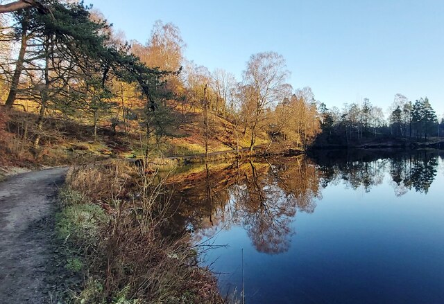
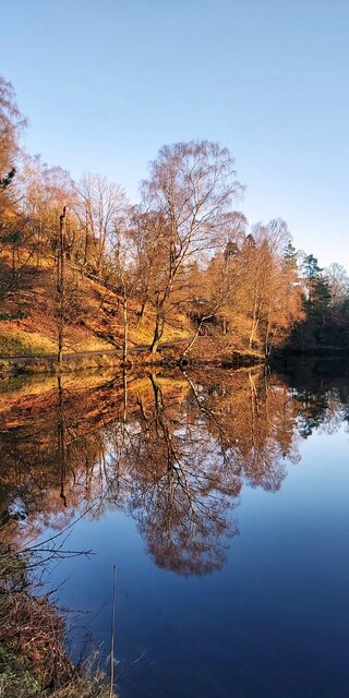
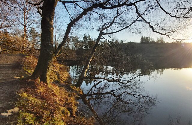
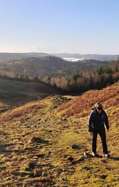
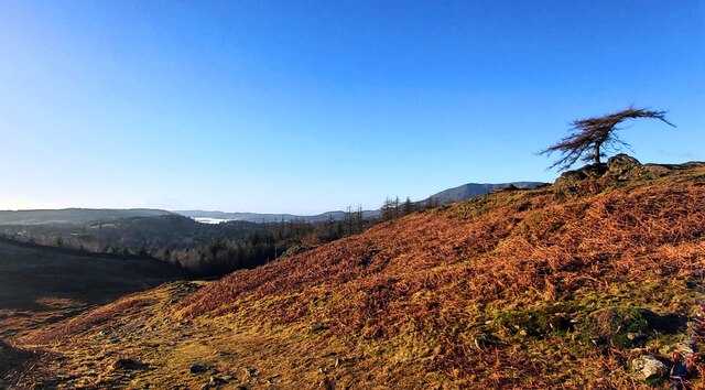
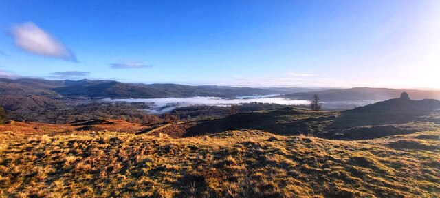
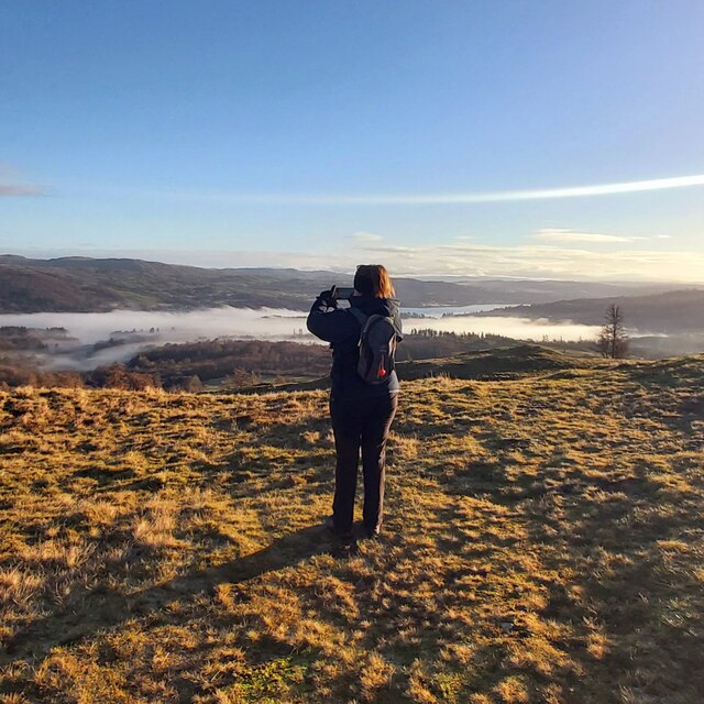
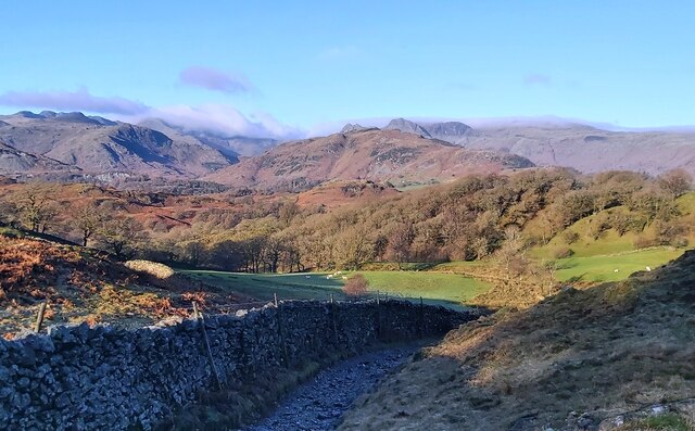
Iron Keld Plantation is a picturesque woodland located in Lancashire, England. Spanning over a vast area, this enchanting forest is known for its dense and diverse collection of trees, making it a popular destination for nature lovers and outdoor enthusiasts alike.
The plantation is characterized by an abundance of ironwood trees, which are native to the region and lend their name to the area. These majestic trees, with their distinctive dark bark and sturdy trunks, dominate the landscape, creating a unique and captivating atmosphere. In addition to the ironwood, the plantation is also home to a variety of other tree species including oak, beech, and ash.
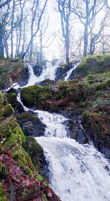
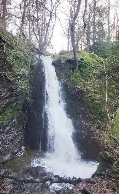
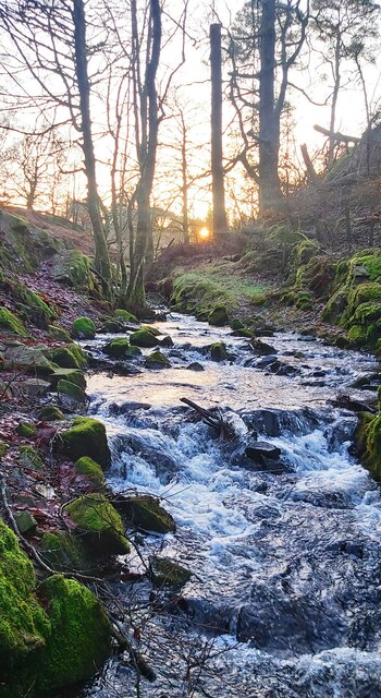
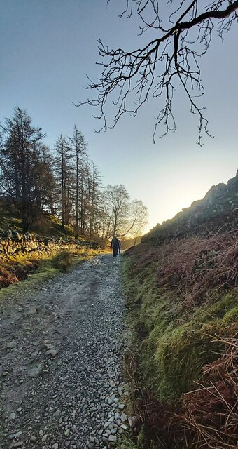
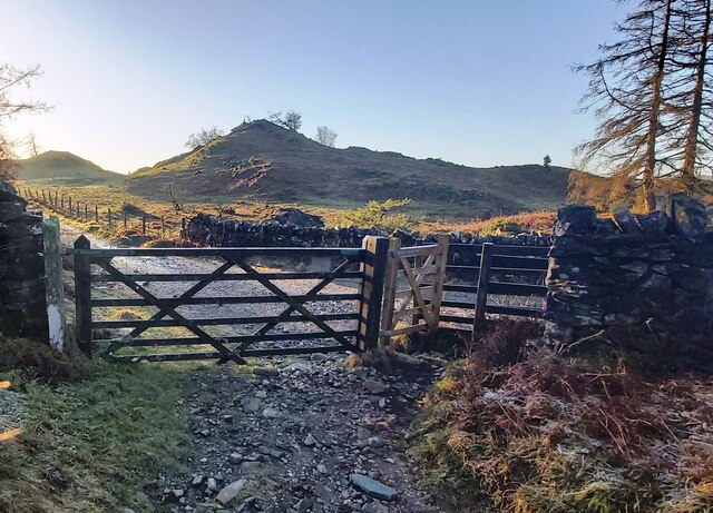
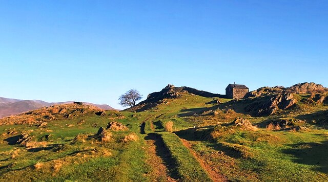
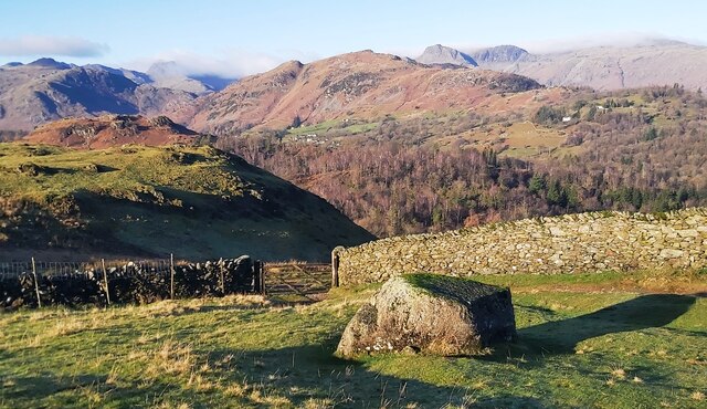
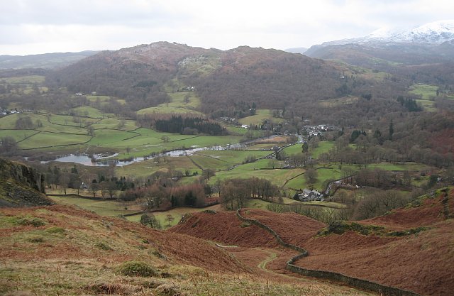
Visitors to Iron Keld Plantation can explore a network of well-maintained trails that wind through the woodland, offering stunning views and a chance to immerse oneself in the tranquility of nature. The forest floor is adorned with a carpet of ferns and wildflowers, adding splashes of color to the predominantly green surroundings.
The plantation is also home to a diverse range of wildlife, including deer, foxes, and numerous species of birds. Birdwatchers will delight in the opportunity to spot woodpeckers, owls, and jays among the treetops.
Iron Keld Plantation is a true natural gem, offering a serene and peaceful retreat from the hustle and bustle of everyday life. Whether it's a leisurely walk, a picnic amidst the trees, or simply a moment of solitude, this woodland sanctuary has something to offer to everyone seeking solace in nature.
If you have any feedback on the listing, please let us know in the comments section below.
Iron Keld Plantation Images
Images are sourced within 2km of 54.39795/-3.0211359 or Grid Reference NY3300. Thanks to Geograph Open Source API. All images are credited.


Iron Keld Plantation is located at Grid Ref: NY3300 (Lat: 54.39795, Lng: -3.0211359)
Administrative County: Cumbria
District: South Lakeland
Police Authority: Cumbria
What 3 Words
///orbited.cuter.regulator. Near Ambleside, Cumbria
Nearby Locations
Related Wikis
Black Fell (Lake District)
Black Fell is a fell in the English Lake District. It rises to the north of Tarn Hows, between Coniston and Hawkshead. == Topography == Black Fell is the...

Yew Tree Tarn
Yew Tree Tarn is a small lake in the English Lake District situated in between the towns of Ambleside and Coniston. The tarn was formed when the local...
Skelwith
Skelwith is a civil parish in South Lakeland, Cumbria, England, which includes the village of Skelwith Bridge. In the 2001 census the parish had a population...

Tarn Hows
Tarn Hows is an area of the Lake District National Park in North West England, It contains a picturesque tarn, approximately 2 miles (3.2 km) northeast...
Nearby Amenities
Located within 500m of 54.39795,-3.0211359Have you been to Iron Keld Plantation?
Leave your review of Iron Keld Plantation below (or comments, questions and feedback).