Birch Hill Wood
Wood, Forest in Westmorland South Lakeland
England
Birch Hill Wood

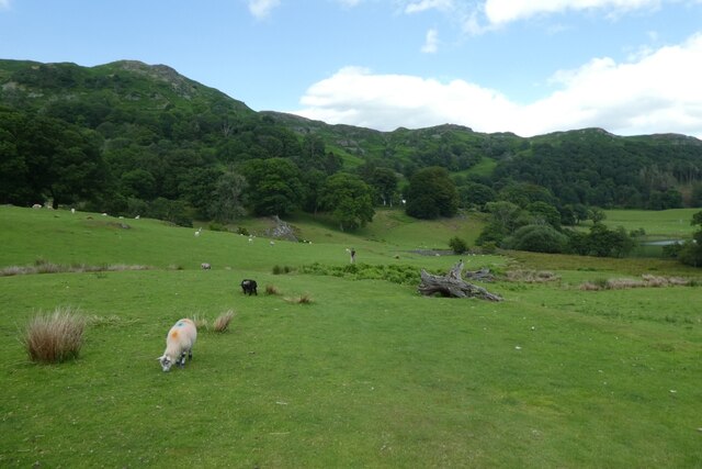
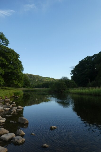
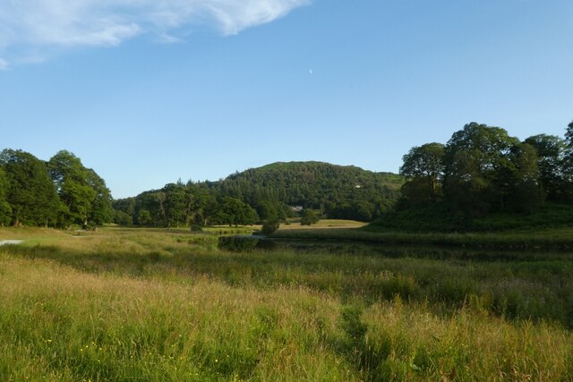
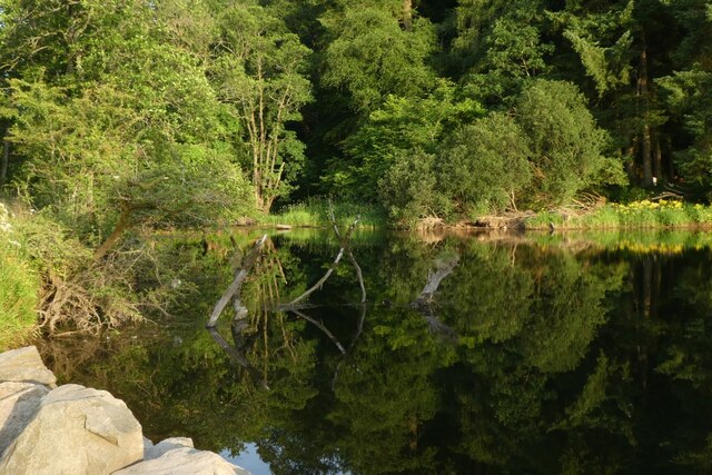
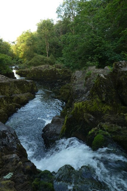
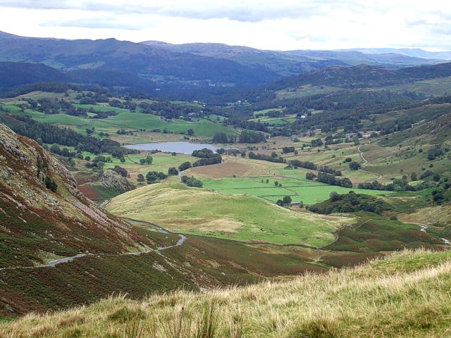
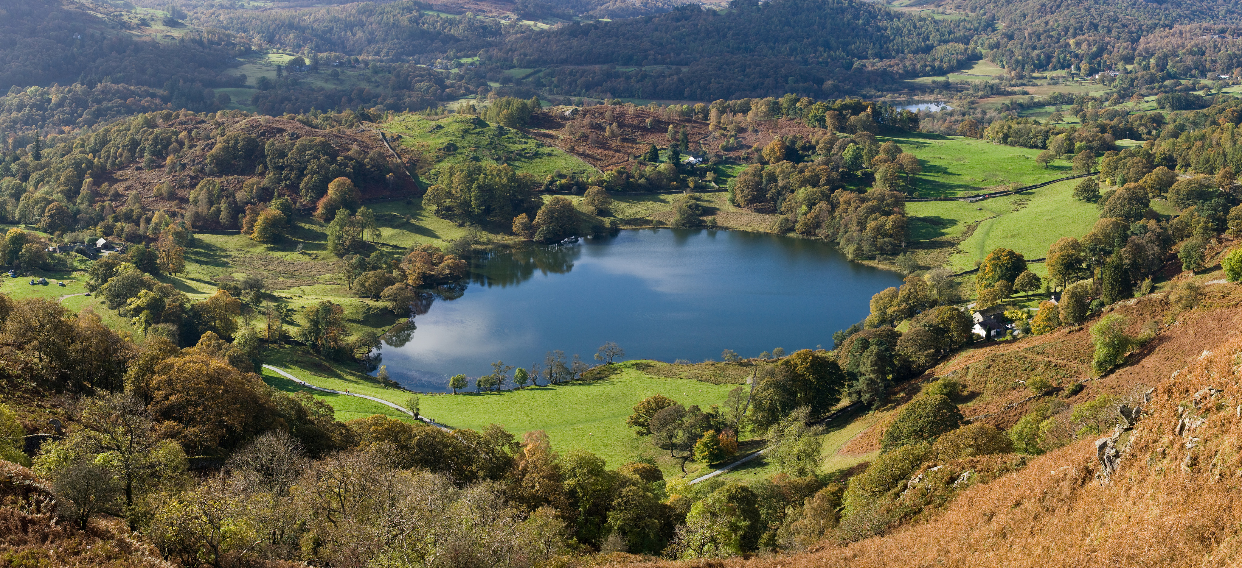
Birch Hill Wood, located in Westmorland, is a picturesque woodland area that spans over a vast expanse of approximately 100 acres. This enchanting forest is renowned for its rich biodiversity and stunning natural beauty, attracting nature enthusiasts and outdoor adventurers alike.
As its name suggests, Birch Hill Wood is dominated by an abundance of graceful birch trees, which lend the woodland its distinctive charm. These slender trees, with their silver-white bark and delicate foliage, create a serene and tranquil atmosphere throughout the forest. The dappled sunlight filtering through the leaves creates a magical ambiance, perfect for peaceful walks or picnics among nature.
In addition to the birch trees, Birch Hill Wood is also home to a diverse range of other flora and fauna. The forest floor is carpeted with an array of wildflowers, creating a riot of colors in the spring and summer months. Various species of birds, including woodpeckers and songbirds, can be spotted flitting among the branches, while squirrels and rabbits scurry through the undergrowth.
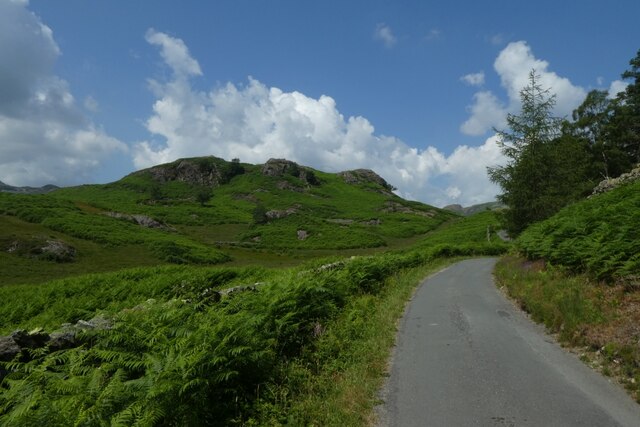
Aside from its natural beauty, Birch Hill Wood offers numerous recreational opportunities. Several well-maintained trails crisscross the woodland, providing visitors with scenic walks and opportunities to explore its hidden corners. The forest is also a haven for wildlife enthusiasts, as it provides habitats for a variety of mammals and insects.
Birch Hill Wood truly is a nature lover’s paradise, offering a peaceful retreat from the hustle and bustle of everyday life. Whether one seeks solitude, a family outing, or the chance to connect with the natural world, this woodland gem in Westmorland is sure to captivate all who visit.
If you have any feedback on the listing, please let us know in the comments section below.
Birch Hill Wood Images
Images are sourced within 2km of 54.429543/-3.0408976 or Grid Reference NY3204. Thanks to Geograph Open Source API. All images are credited.


Birch Hill Wood is located at Grid Ref: NY3204 (Lat: 54.429543, Lng: -3.0408976)
Administrative County: Cumbria
District: South Lakeland
Police Authority: Cumbria
What 3 Words
///swing.strictly.grunt. Near Ambleside, Cumbria
Nearby Locations
Related Wikis

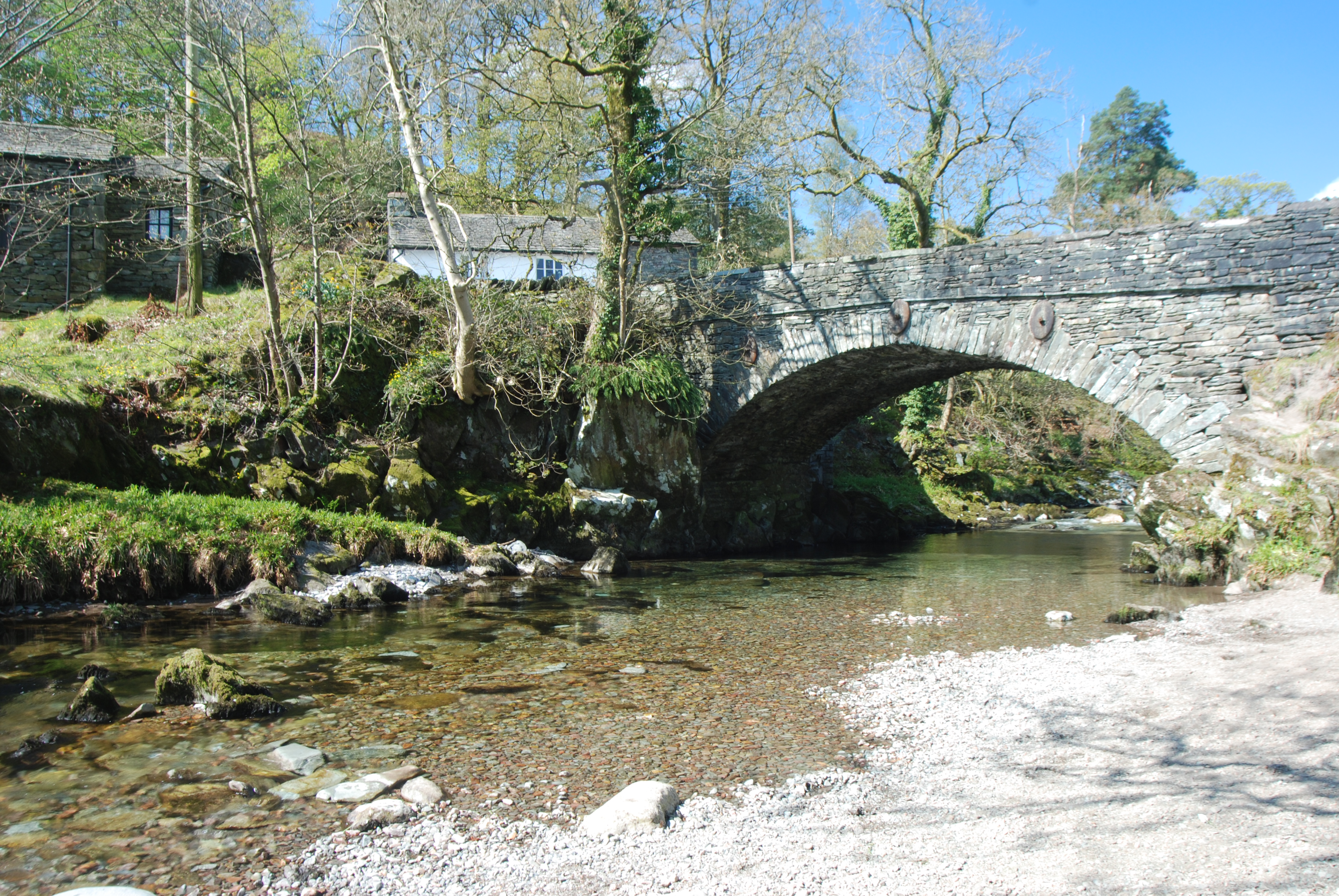
Elterwater Bridge
Elterwater Bridge is a Grade II listed single-arch bridge spanning Great Langdale Beck in Elterwater, Cumbria, England. The structure dates to 1702.The...
Elterwater
Elterwater is a village in the English Lake District and the county of Cumbria. The village lies half a mile (800 m) north-west of the lake of Elter Water...
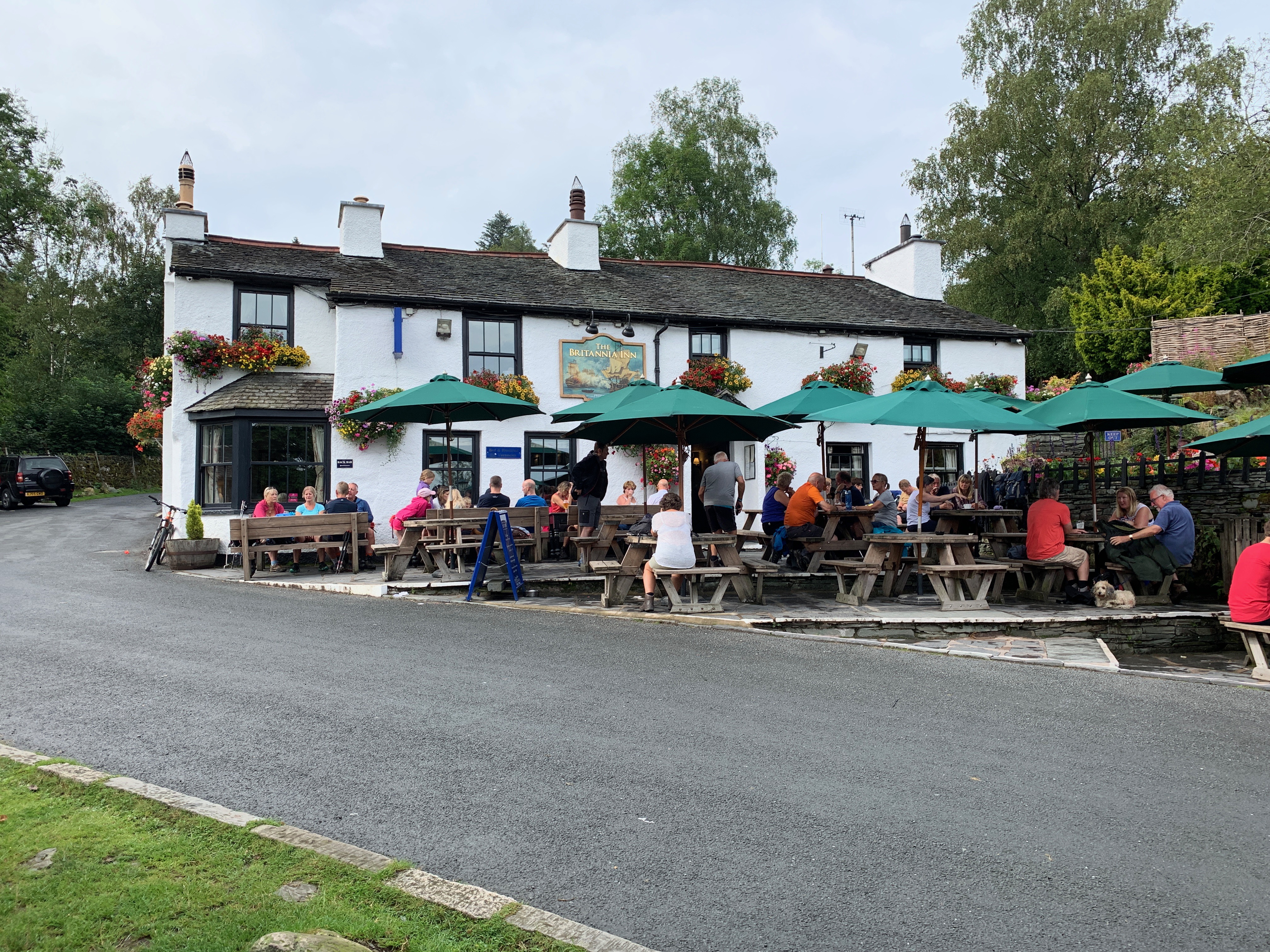
Britannia Inn
The Britannia Inn is a public house and inn in the English village of Elterwater, Cumbria. Dating to the 17th century, it is a Grade II listed building...

Elter Water
Elter Water is a small lake in the Lake District in North West England, half a mile southeast of the village of the same name. It has a length of 0.62...

Chapel Stile
Chapel Stile is a village in Cumbria, England, located approximately 5 miles northwest of Ambleside, within the Langdale valley. It contains a school,...
Little Langdale
Little Langdale is a valley in the Lake District, England, containing Little Langdale Tarn and a hamlet also called Little Langdale. A second tarn, Blea...

Slater's Bridge
Slater's Bridge is a traditional packhorse bridge in Little Langdale in the English Lake District, standing at National Grid Reference NY3120502996....
Loughrigg Tarn
Loughrigg Tarn () is a small, natural lake in the Lake District, Cumbria, England. It is situated north of Windermere, just north of the village of Skelwith...
Nearby Amenities
Located within 500m of 54.429543,-3.0408976Have you been to Birch Hill Wood?
Leave your review of Birch Hill Wood below (or comments, questions and feedback).