Bottrell Wood

Wood, Forest in Herefordshire

England

Bottrell Wood

Arthur's Stone. Sandstone Dolmen above the Golden Valley.
Arthur's Stone. Credit: Richard Webb

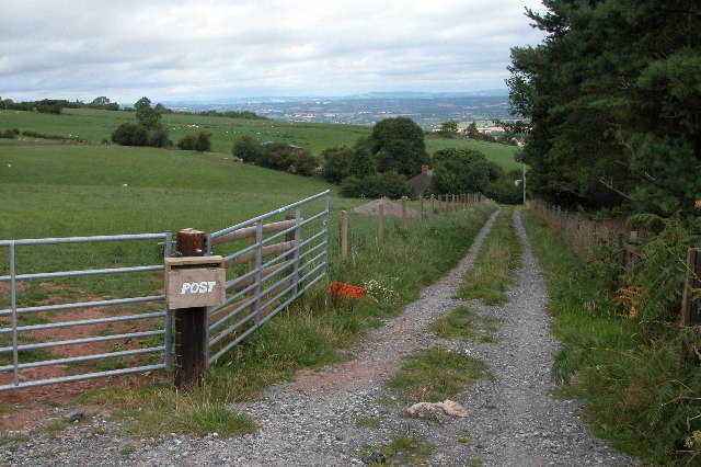
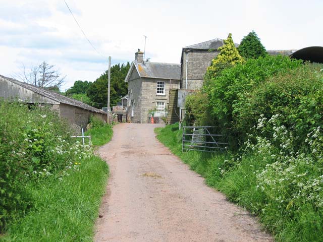
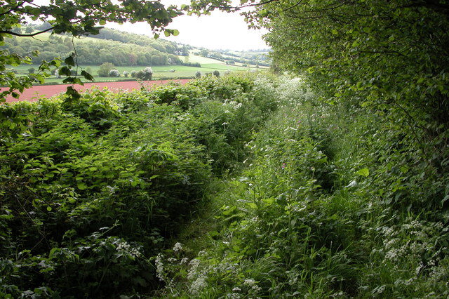
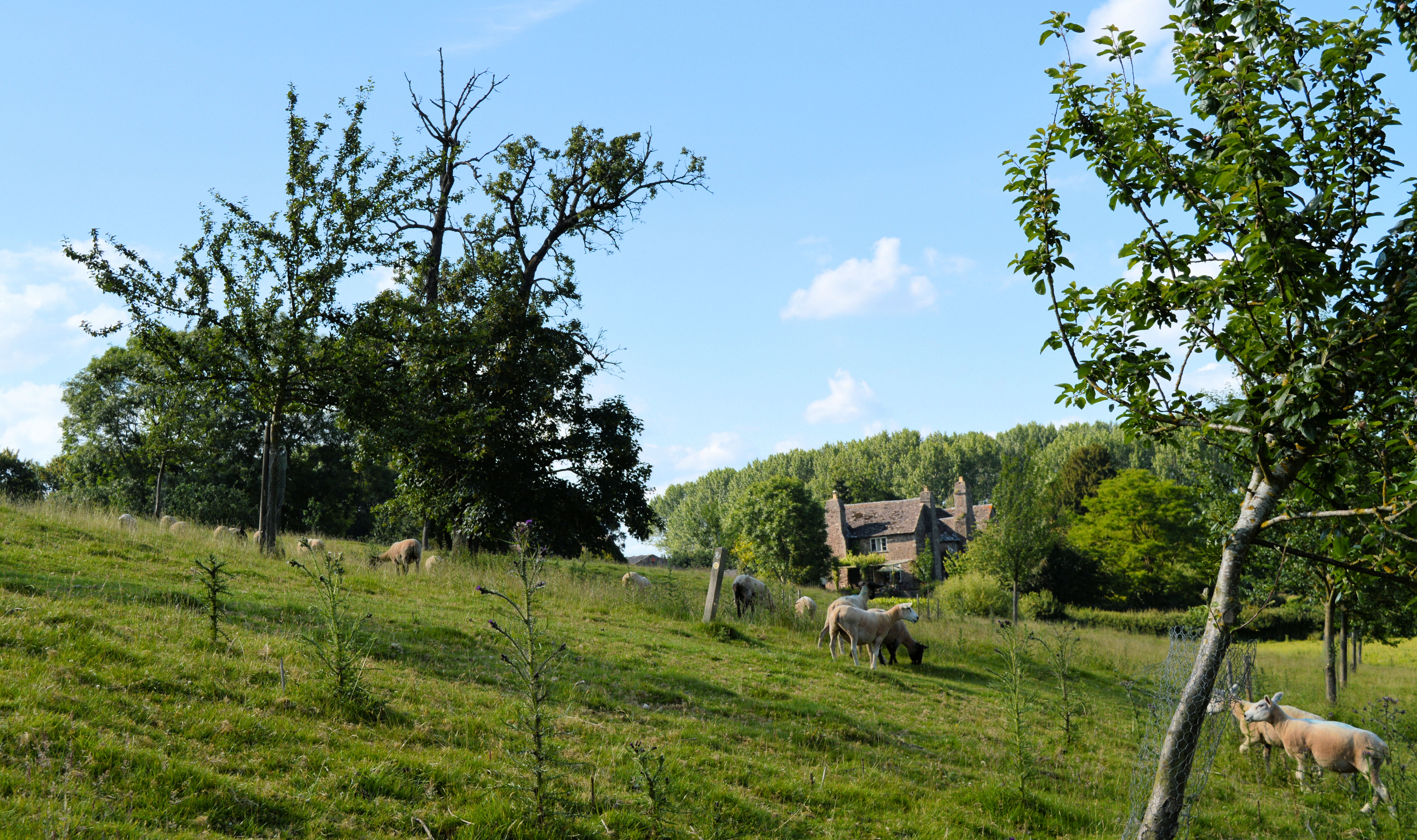
Bottrell Wood is a picturesque woodland located in Herefordshire, England. Covering an area of approximately 100 hectares, it is a popular destination for nature enthusiasts and hikers. The woodland is characterized by its diverse range of tree species, including oak, beech, and ash. These trees create a dense canopy, providing a haven for a wide variety of wildlife.

The forest floor of Bottrell Wood is carpeted with a rich layer of leaf litter and moss, creating a lush and vibrant undergrowth. It is home to a plethora of plant species, such as bluebells, wood anemones, and ferns. During springtime, the forest comes alive with a riot of colors as wildflowers bloom.

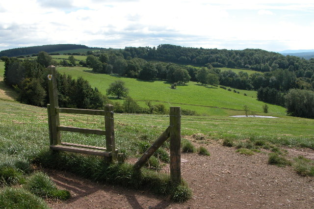
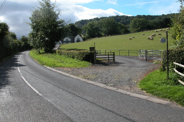
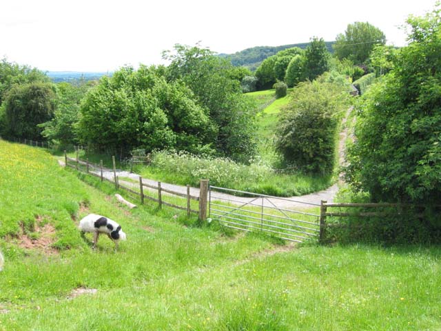
The woodland is crisscrossed by a network of well-maintained paths, allowing visitors to explore its beauty at their leisure. These trails are suitable for all levels of fitness, ranging from gentle strolls to more challenging hikes. Along the way, visitors may encounter small streams, which add to the charm of the woodland.

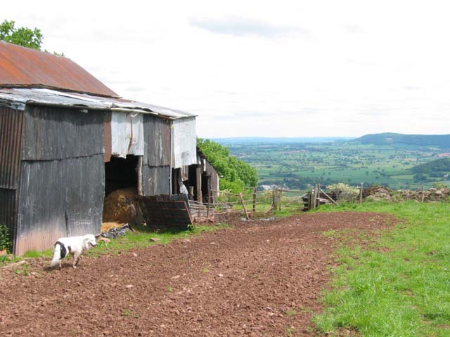
Bottrell Wood is particularly renowned for its avian population. Birdwatchers flock to the area to catch sight of species such as woodpeckers, owls, and various songbirds. The forest also provides a habitat for mammals like badgers, foxes, and deer.

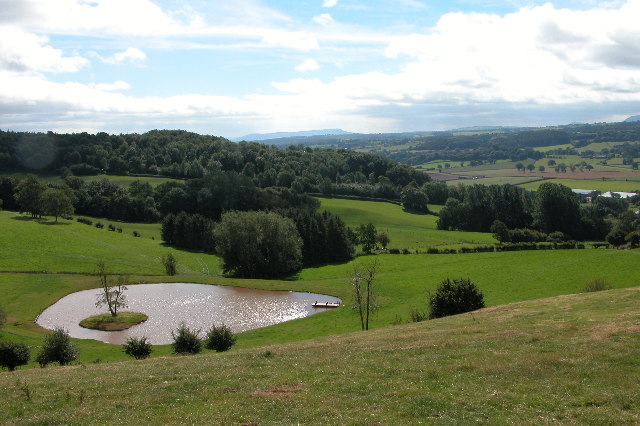
Visitors to Bottrell Wood can enjoy a tranquil and peaceful environment, immersing themselves in the beauty of nature. The woodland offers a welcome respite from the hustle and bustle of everyday life, making it a perfect destination for those seeking relaxation and a connection with the natural world.

If you have any feedback on the listing, please let us know in the comments section below.

Bottrell Wood Images

Images are sourced within 2km of 52.087002/-2.9856432 or Grid Reference SO3243. Thanks to Geograph Open Source API. All images are credited.

Arthur's Stone. Sandstone Dolmen above the Golden Valley.
Arthur's Stone.
Sandstone Dolmen above the Golden Valley.
Bredwardine Bridge over the Wye A Photographer's delight, even from the ground.
Bredwardine Bridge over the Wye
A Photographer's delight, even from the ground.
The Red Lion, Bredwardine The Red Lion stands on a road junction in Bredwardine.
The Red Lion, Bredwardine
The Red Lion stands on a road junction in Bredwardine.
Arthur's Stone The remains of a Neolithic chambered tomb. It is named after King Arthur but it pre-dates this legendary king by thousands of years.  It is thought to date from between 3,700BC and 2,700BC.  It is situated almost 1000ft up on top of a hill between Bredwardine and Dorstone.
Arthur's Stone
The remains of a Neolithic chambered tomb. It is named after King Arthur but it pre-dates this legendary king by thousands of years. It is thought to date from between 3,700BC and 2,700BC. It is situated almost 1000ft up on top of a hill between Bredwardine and Dorstone.
Hay Bluff and Black Mountains Silage stacked in the corner of a field on the side of Arthur's Stone Lane near Upper Barn above the village of Dorstone in the Golden Valley.  On the horizon is Hay Bluff and the Black Mountains.
Hay Bluff and Black Mountains
Silage stacked in the corner of a field on the side of Arthur's Stone Lane near Upper Barn above the village of Dorstone in the Golden Valley. On the horizon is Hay Bluff and the Black Mountains.
New farm track to Upper Bodcott Farm Farm track to Upper Bodcott Farm, beyond is the countryside of north Herefordshire, and on the horizon Cleehill in Shropshire.
New farm track to Upper Bodcott Farm
Farm track to Upper Bodcott Farm, beyond is the countryside of north Herefordshire, and on the horizon Cleehill in Shropshire.
Dorstone Hill Dorstone Hill viewed from the footpath descending from Arthur's Stone to the village of Dorstone
Dorstone Hill
Dorstone Hill viewed from the footpath descending from Arthur's Stone to the village of Dorstone
The Golden Valley View south down the Golden Valley from the footpath which descends from Arthur's Stone to the village of Dorstone
The Golden Valley
View south down the Golden Valley from the footpath which descends from Arthur's Stone to the village of Dorstone
Bodcott Lodge B&B guest house about half a mile south of Bredwardine on the B4352.
Bodcott Lodge
B&B guest house about half a mile south of Bredwardine on the B4352.
Bredwardine Church Bredwardine church is dedicated to St Andrew. The Georgian tower dates from 1790.  The Rev. Francis Kilvert, the famous Victoria diarist was vicar here from November 1877, until his untimely death aged 38, on 23 September 1879.
Bredwardine Church
Bredwardine church is dedicated to St Andrew. The Georgian tower dates from 1790. The Rev. Francis Kilvert, the famous Victoria diarist was vicar here from November 1877, until his untimely death aged 38, on 23 September 1879.
Llan Farm
Llan Farm
On Bredwardine Hill
On Bredwardine Hill
Bredwardine Bridge The 18th century bridge over the Wye.
Bredwardine Bridge
The 18th century bridge over the Wye.
Gateway and country lane near Bredwardine
Arthur's Stone A sandstone dolmen on Dorstone Hill looking towards Cussop.
Arthur's Stone
A sandstone dolmen on Dorstone Hill looking towards Cussop.
New Weston Farm, Bredwardine Original building 17th century, probably timber-framed; encased in stone rubble in 18th century; enlarged and heightened in the 19th century. Still a working farmhouse.
New Weston Farm, Bredwardine
Original building 17th century, probably timber-framed; encased in stone rubble in 18th century; enlarged and heightened in the 19th century. Still a working farmhouse.
The Golden Valley, Dorstone The Golden Valley is so named after the River Dore which flows through it. These fields are located to the south-east of Dorstone.
The Golden Valley, Dorstone
The Golden Valley is so named after the River Dore which flows through it. These fields are located to the south-east of Dorstone.
Spoon Lane, Dorstone Spoon Lane is a green lane in the Golden Valley to the north of the village of Dorstone. In the spring it becomes quite overgrown. Fortunately I wasn't wearing shorts!
Spoon Lane, Dorstone
Spoon Lane is a green lane in the Golden Valley to the north of the village of Dorstone. In the spring it becomes quite overgrown. Fortunately I wasn't wearing shorts!
Show me another place!

Bottrell Wood is located at Grid Ref: SO3243 (Lat: 52.087002, Lng: -2.9856432)

Unitary Authority: County of Herefordshire

Police Authority: West Mercia

What 3 Words

///vows.scrapped.warthog. Near Dorstone, Herefordshire

Related Wikis

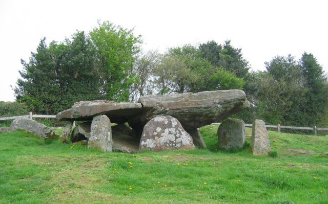
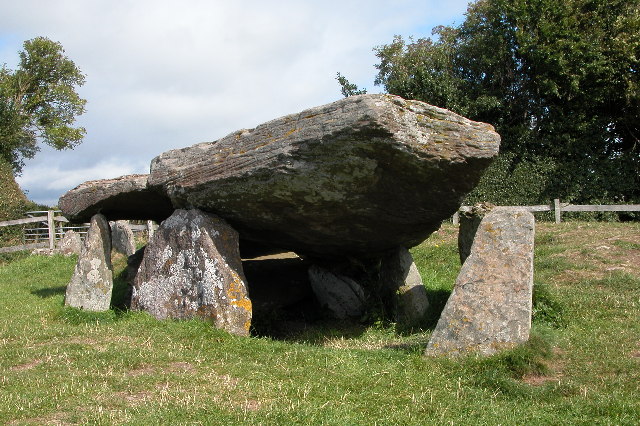
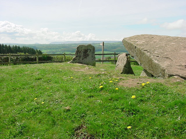
Arthur's Stone, Herefordshire

Arthur's Stone is a Neolithic chambered tomb, or dolmen, in Herefordshire, England. It is situated on the ridge line of a hill overlooking both the Golden...

Bredwardine

Bredwardine is a village and civil parish in the west of Herefordshire, England. Significant parish landmarks include a brick bridge over the River Wye...

Bredwardine Castle

Bredwardine Castle was sited in the village of Bredwardine in Herefordshire, England beside the River Wye. Thought to have been built in the second half...

Dorstone railway station

Dorstone railway station was a station in Dorstone, Herefordshire, England. The station was opened in 1881, closed to passengers in 1941 and closed completely...

Brobury

Brobury is a village and former civil parish, now in the parish of Brobury with Monnington on Wye, in western Herefordshire, England, located between Hereford...
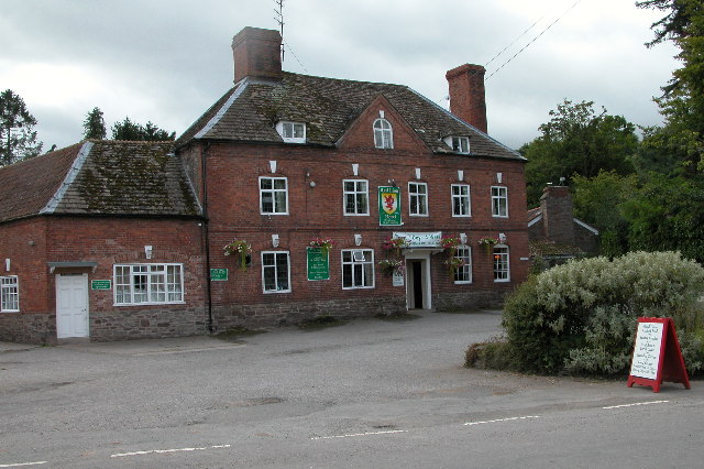
Dorstone

Dorstone is a village within the Golden Valley, Herefordshire, England. There is a church and public house with restaurant. The Golden Valley area offers...

Dorstone Castle

Dorstone Castle was in the village of Dorstone in Herefordshire, England, located 6 miles to the east of Hay-on-Wye. == Motte and bailey == This was a...

Letton, west Herefordshire

Letton is a village and civil parish in west Herefordshire, England, and is approximately 11 miles (20 km) west-northwest from the city and county town...

Nearby Amenities

Located within 500m of 52.087002,-2.9856432
Building: yes
Lat/Long: 52.0912504/-2.9876225
Building: yes
Lat/Long: 52.0863326/-2.9798762
Power: pole
Source: bing
Lat/Long: 52.0899968/-2.9854783
Power: pole
Source: bing
Lat/Long: 52.090422/-2.9857653
Power: pole
Source: bing
Lat/Long: 52.0909972/-2.9861489
The data included in this document is from www.openstreetmap.org. The data is made available under ODbL.

Have you been to Bottrell Wood?

Leave your review of Bottrell Wood below (or comments, questions and feedback).