Stepsend Coppice
Wood, Forest in Westmorland South Lakeland
England
Stepsend Coppice

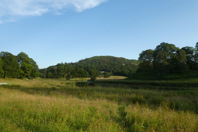
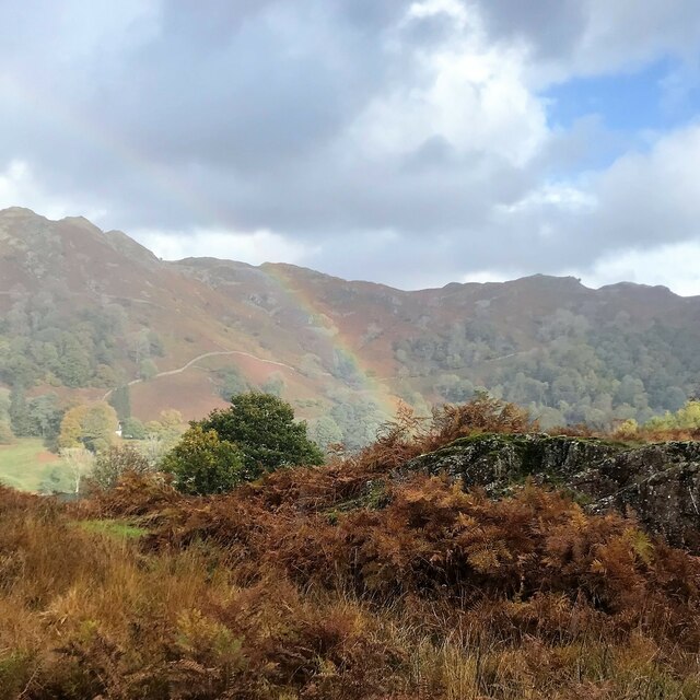
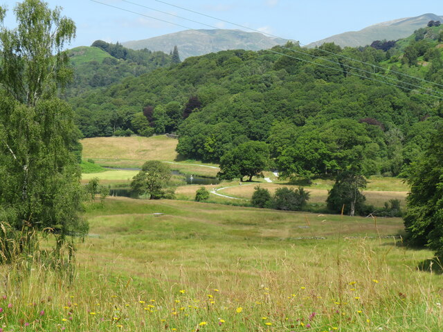
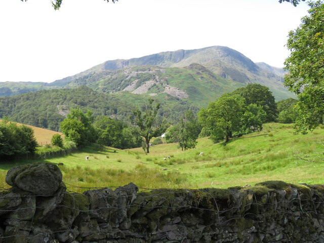
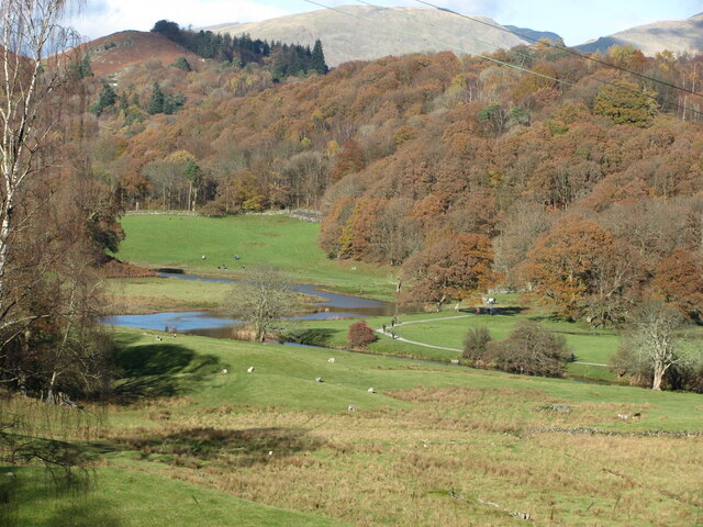
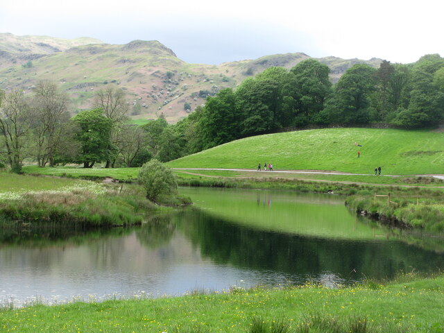
Stepsend Coppice is a picturesque wood located in the county of Westmorland, England. Situated in the heart of the stunning Lake District National Park, this enchanting forest covers an area of approximately 50 hectares. The coppice is nestled between the charming villages of Ambleside and Grasmere, offering visitors a tranquil retreat amidst the breathtaking natural beauty of the region.
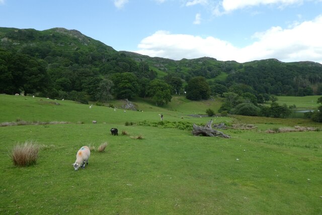
The woodland is characterized by a diverse range of tree species, including native oak, birch, and beech trees. The dense canopy created by these majestic trees provides a haven for a variety of wildlife, making Stepsend Coppice a popular destination for nature enthusiasts and birdwatchers alike. Visitors can expect to spot a plethora of bird species, such as woodpeckers, owls, and warblers, as well as elusive mammals like red squirrels and deer.
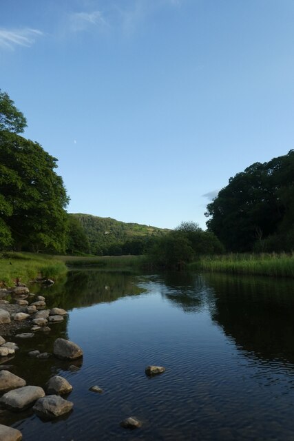
The forest is crisscrossed by a network of well-maintained walking trails, allowing visitors to explore the wood at their own pace. These paths wind through the ancient woodland, guiding visitors past babbling brooks, moss-covered rocks, and carpets of wildflowers. The peaceful ambiance of Stepsend Coppice makes it an ideal location for hikers, photographers, and anyone seeking solace in nature.
For those interested in the history of the area, Stepsend Coppice boasts remnants of old charcoal pits and evidence of past forestry management practices. This adds an intriguing element to the wood, allowing visitors to glimpse into the past and appreciate the human connection to this natural haven.
Overall, Stepsend Coppice offers a captivating blend of natural beauty, wildlife diversity, and historical significance. Whether for a leisurely stroll, birdwatching expedition, or simply a moment of tranquility, this enchanting woodland is a must-visit destination for nature lovers in Westmorland.
If you have any feedback on the listing, please let us know in the comments section below.
Stepsend Coppice Images
Images are sourced within 2km of 54.435532/-3.0426066 or Grid Reference NY3204. Thanks to Geograph Open Source API. All images are credited.


Stepsend Coppice is located at Grid Ref: NY3204 (Lat: 54.435532, Lng: -3.0426066)
Administrative County: Cumbria
District: South Lakeland
Police Authority: Cumbria
What 3 Words
///melts.certainly.wallet. Near Ambleside, Cumbria
Nearby Locations
Related Wikis
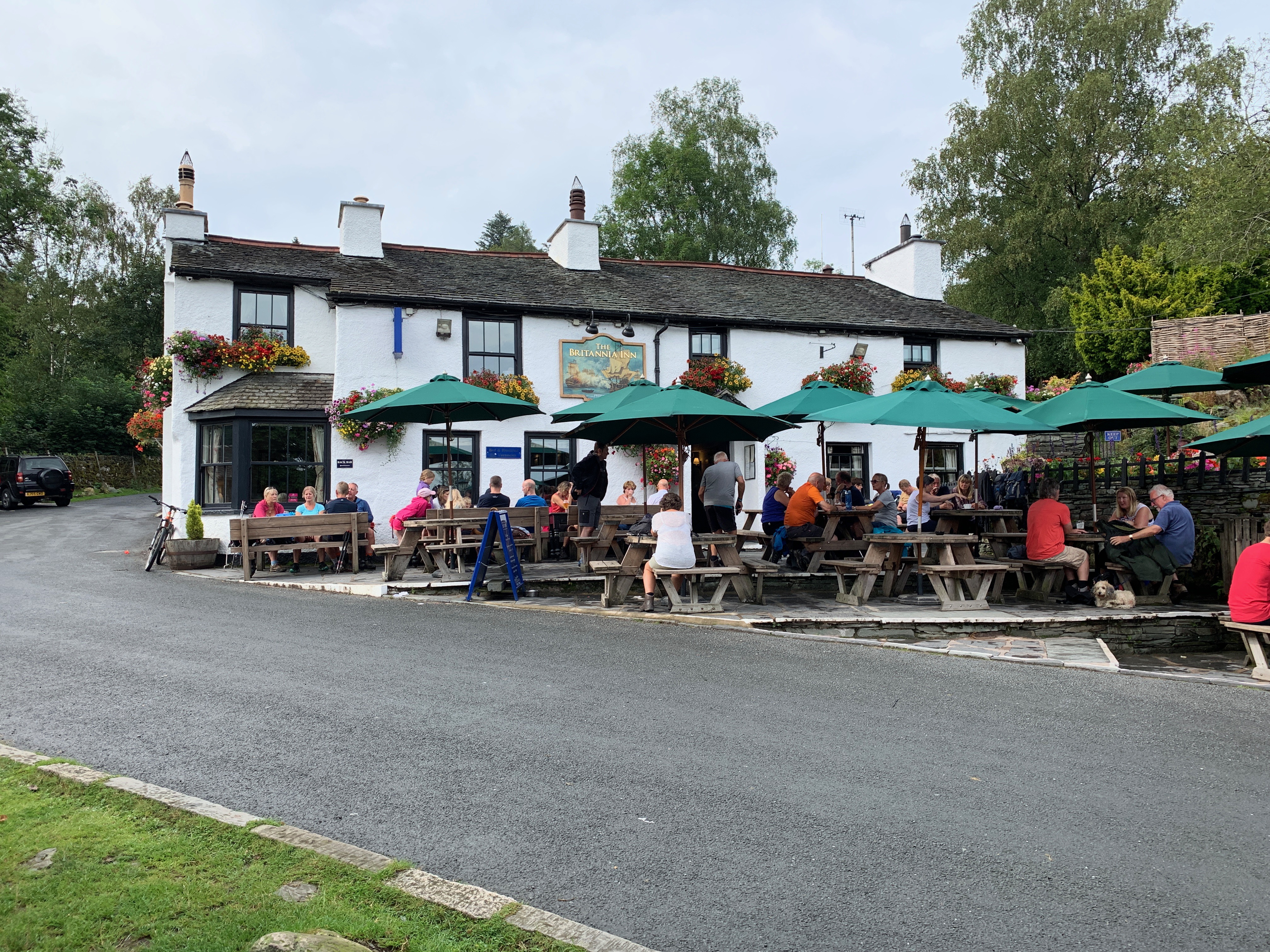
Britannia Inn
The Britannia Inn is a public house and inn in the English village of Elterwater, Cumbria. Dating to the 17th century, it is a Grade II listed building...
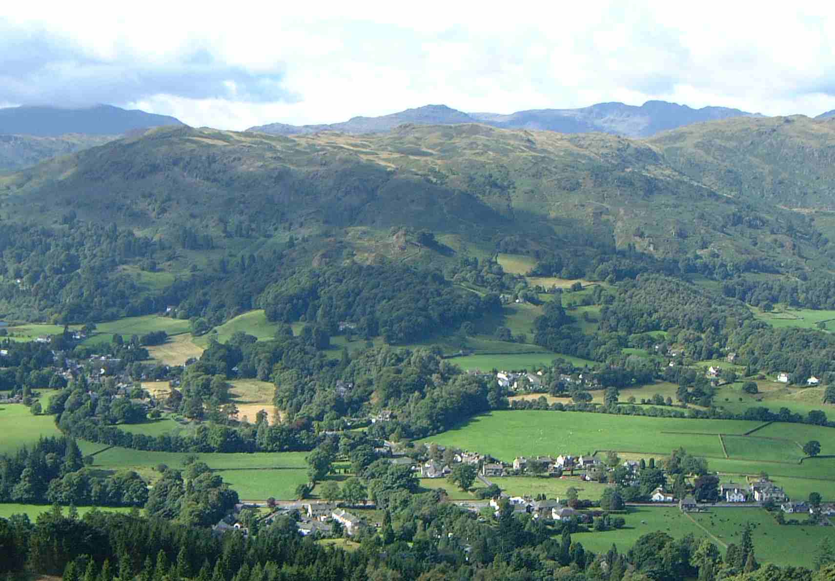
Elterwater
Elterwater is a village in the English Lake District and the county of Cumbria. The village lies half a mile (800 m) north-west of the lake of Elter Water...

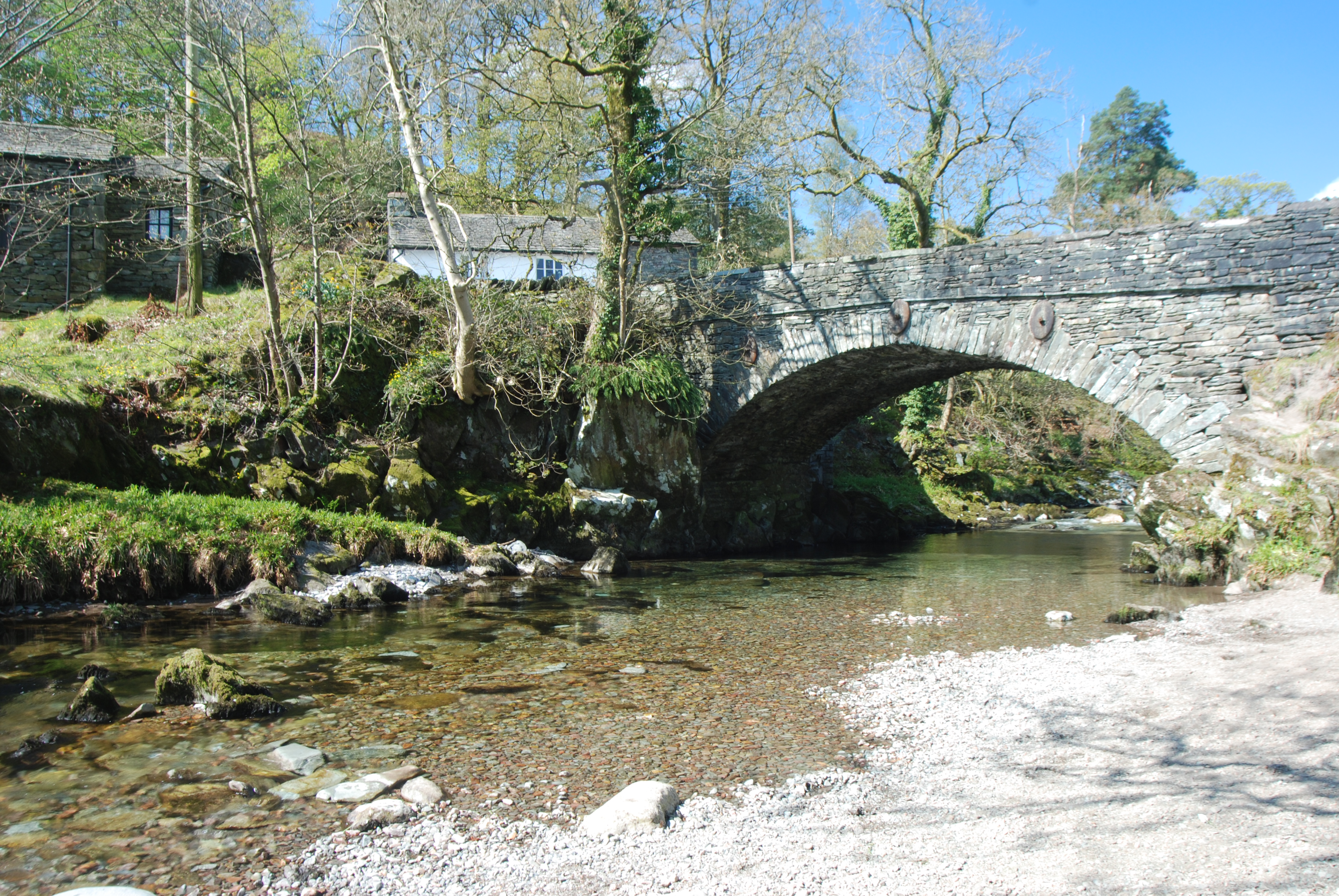
Elterwater Bridge
Elterwater Bridge is a Grade II listed single-arch bridge spanning Great Langdale Beck in Elterwater, Cumbria, England. The structure dates to 1702.The...

Chapel Stile
Chapel Stile is a village in Cumbria, England, located approximately 5 miles northwest of Ambleside, within the Langdale valley. It contains a school,...

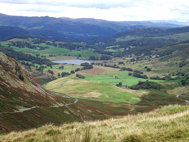
Elter Water
Elter Water is a small lake in the Lake District in North West England, half a mile southeast of the village of the same name. It has a length of 0.62...
Silver How
Silver How is a fell in the English Lake District, standing over the village of Grasmere. How, derived from the Old Norse word haugr, is a common local...
Little Langdale
Little Langdale is a valley in the Lake District, England, containing Little Langdale Tarn and a hamlet also called Little Langdale. A second tarn, Blea...

Langdale axe industry
The Langdale axe industry (or factory) is the name given by archaeologists to a Neolithic centre of specialised stone tool production in the Great Langdale...
Related Videos
Grasmere Village Walk, The Lake District, English Countryside 4K
https://www.buymeacoffee.com/Daveswalks All support is hugely appreciated and it helps me keep the channel going! No talking ...

Coast to Coast: Solo Hiking Across the Country - Day 4 (4K)
Join me on Patreon! https://www.patreon.com/TinyPineOutdoors Day 4 of solo hiking the Coast to Coast, I left Chapel House Farm ...
Lake District Circular Walk - Hiking Grasmere
A challenging classic circular Lake District walk, not helped by the wind and driving rain, bagging another four Wainwrights.
Nearby Amenities
Located within 500m of 54.435532,-3.0426066Have you been to Stepsend Coppice?
Leave your review of Stepsend Coppice below (or comments, questions and feedback).