Beech Wood
Wood, Forest in Herefordshire
England
Beech Wood

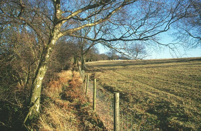
Beech Wood is a picturesque woodland located in the county of Herefordshire, England. Spanning over an area of approximately 100 acres, this enchanting forest is known for its dense population of beech trees, which give the wood its name. The wood is situated on gently rolling terrain, creating an undulating landscape that adds to its scenic beauty.
The beech trees in Beech Wood are of varying ages, some of which are believed to be several hundred years old. Their tall, slender trunks reach towards the sky, creating a majestic canopy that provides shade and shelter to the woodland floor below. The rich, dark brown bark of the beech trees contrasts beautifully with the vibrant green leaves during the spring and summer months.
The forest floor is covered with a thick carpet of fallen leaves, providing a haven for various species of flora and fauna. Bluebells, wild garlic, and wood anemones are among the many wildflowers that bloom in abundance during the spring, creating a colorful tapestry. The wood is also home to a diverse range of animals, including deer, foxes, badgers, and a plethora of bird species.
Beech Wood offers visitors a tranquil retreat away from the hustle and bustle of daily life. The well-maintained walking trails meander through the forest, allowing visitors to explore the wood at their own pace. It is a popular spot for nature lovers, photographers, and families seeking a peaceful day out in nature.
Overall, Beech Wood in Herefordshire is a natural gem, brimming with beauty and biodiversity. Its towering beech trees, vibrant undergrowth, and abundant wildlife make it a must-visit destination for anyone seeking a true nature experience.
If you have any feedback on the listing, please let us know in the comments section below.
Beech Wood Images
Images are sourced within 2km of 52.232159/-2.9983444 or Grid Reference SO3159. Thanks to Geograph Open Source API. All images are credited.


Beech Wood is located at Grid Ref: SO3159 (Lat: 52.232159, Lng: -2.9983444)
Unitary Authority: County of Herefordshire
Police Authority: West Mercia
What 3 Words
///excusing.attend.years. Near Kington, Herefordshire
Nearby Locations
Related Wikis

Titley Pool
Titley Pool is a lake in Herefordshire, England. It is situated at Titley, 3 kilometres (1.9 mi) north west of the town of Kington. It is a naturally...
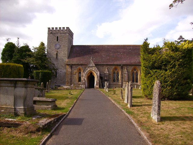
Titley, Herefordshire
Titley is a village and civil parish in Herefordshire, England. It lies on the B4355 between Kington and Presteigne. In the 2001 census the parish had...
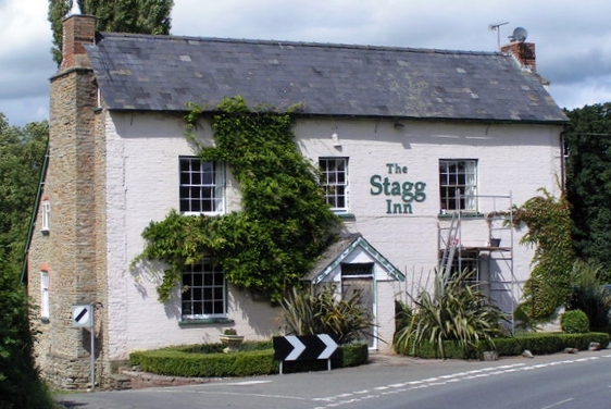
The Stagg Inn
The Stagg Inn is a restaurant located in Titley, Herefordshire, England. As of 2015, the restaurant holds one star in the Michelin Guide. The Stagg was...
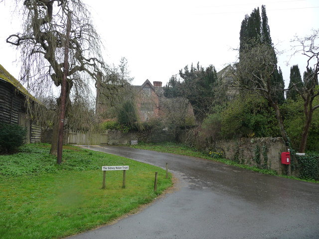
Titley Priory
Titley Priory was a priory near Titley in Herefordshire, England at grid reference SO32966011. == References ==
Rushock, Herefordshire
Rushock is a small village in Herefordshire, England. It lies about 1 mile north-east of Kington. The population of the civil parish was 131 at the 2011...
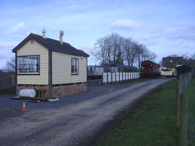
Titley Junction railway station
Titley Junction railway station was a station in Titley, Herefordshire, England. The station was located nearly two miles south of Titley village. The...
Rodd, Nash and Little Brampton
Rodd, Nash and Little Brampton is a civil parish in the county of Herefordshire, England, and is 18 miles (29 km) north-west from the city and county town...
Forge Crossing Halt railway station
Forge Crossing Halt railway station was a station in Titley, Herefordshire, England. The station, on the Presteigne Branch Line of the Leominster and Kington...
Nearby Amenities
Located within 500m of 52.232159,-2.9983444Have you been to Beech Wood?
Leave your review of Beech Wood below (or comments, questions and feedback).