Anthony
Settlement in Cornwall
England
Anthony
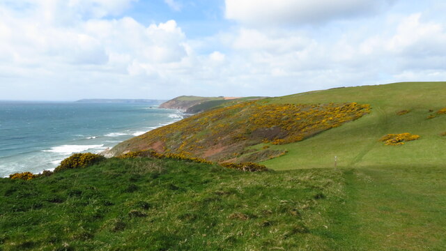
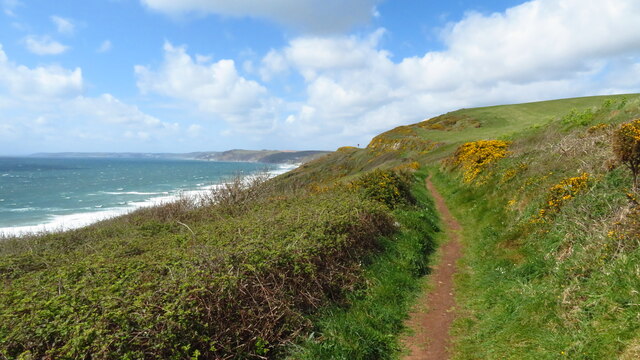
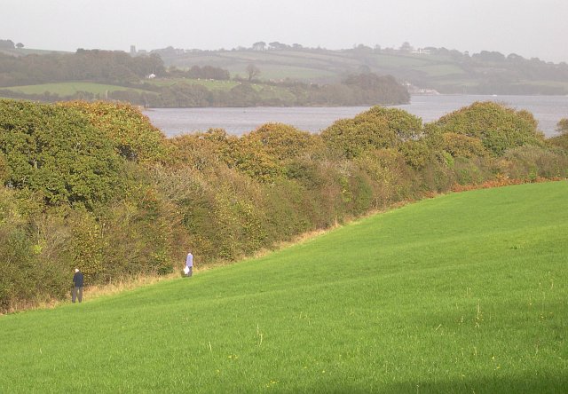
Anthony is a small village located in the southeastern part of Cornwall, England. It is situated on the Rame Peninsula, in close proximity to the Devon border. The village is nestled amidst picturesque countryside, offering breathtaking views of rolling hills and lush greenery.
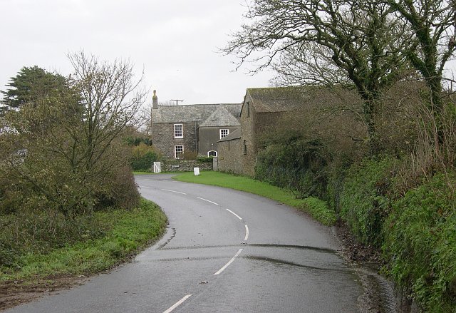
With a population of around 500 residents, Anthony exudes a tranquil and intimate atmosphere. It is known for its historic charm, with many of its buildings dating back several centuries. Quaint cottages and traditional farmhouses line the streets, preserving the village's architectural heritage.
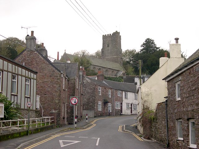
One of the notable landmarks in Anthony is the St. Anthony Church, an ancient place of worship that dates back to the 13th century. The church's stunning architecture and serene surroundings make it a popular destination for tourists and locals alike.
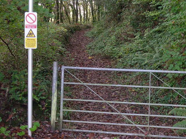
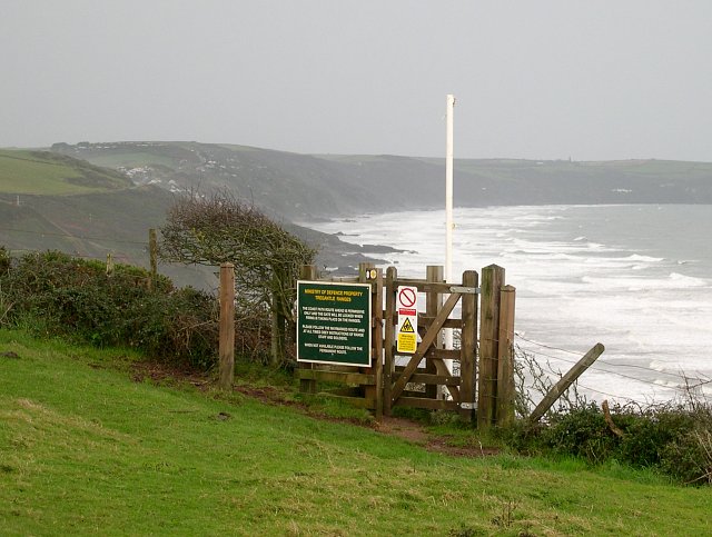
Nature lovers will find Anthony to be a paradise, as it is surrounded by an abundance of natural beauty. The nearby Antony Woodland offers a serene escape, where visitors can explore its enchanting trails and witness a diverse range of flora and fauna.
Despite its small size, Anthony boasts a strong sense of community. The village hosts various events and festivals throughout the year, bringing residents together and welcoming visitors with open arms.
In conclusion, Anthony is a charming village in Cornwall that offers a peaceful retreat from the hustle and bustle of city life. With its rich history, natural beauty, and tight-knit community, Anthony is a hidden gem that holds a special place in the hearts of those who visit.
If you have any feedback on the listing, please let us know in the comments section below.
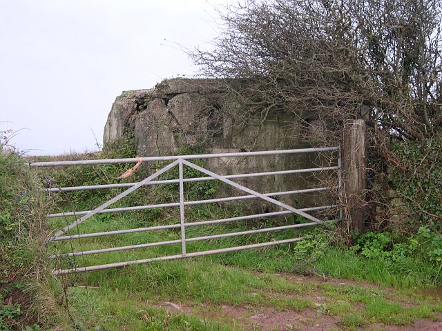
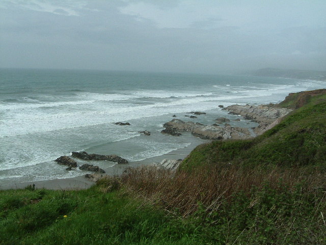
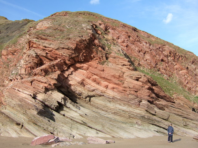
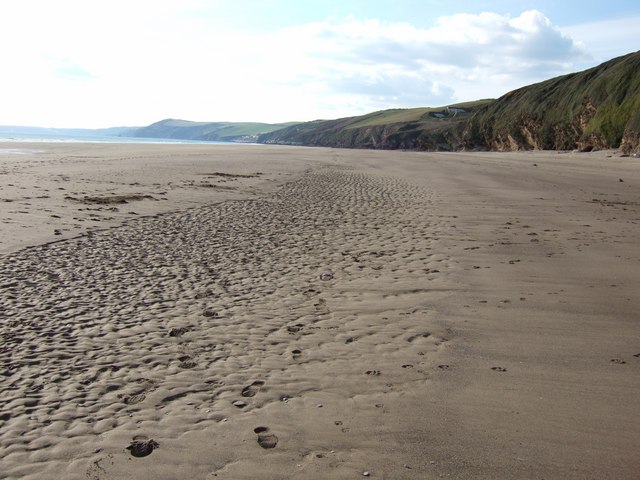
Anthony Images
Images are sourced within 2km of 50.363825/-4.2650229 or Grid Reference SX3954. Thanks to Geograph Open Source API. All images are credited.

Anthony is located at Grid Ref: SX3954 (Lat: 50.363825, Lng: -4.2650229)
Unitary Authority: Cornwall
Police Authority: Devon and Cornwall
What 3 Words
///wire.warp.congas. Near Millbrook, Cornwall
Nearby Locations
Related Wikis

Lower Tregantle
Lower Tregantle is a hamlet in Cornwall, England, UK. It is about half a mile south of Antony; Higher Tregantle is about a quarter of a mile further south...

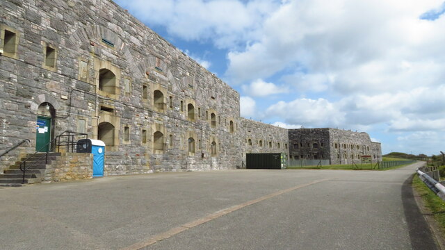
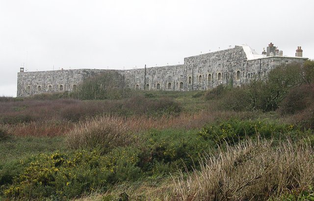
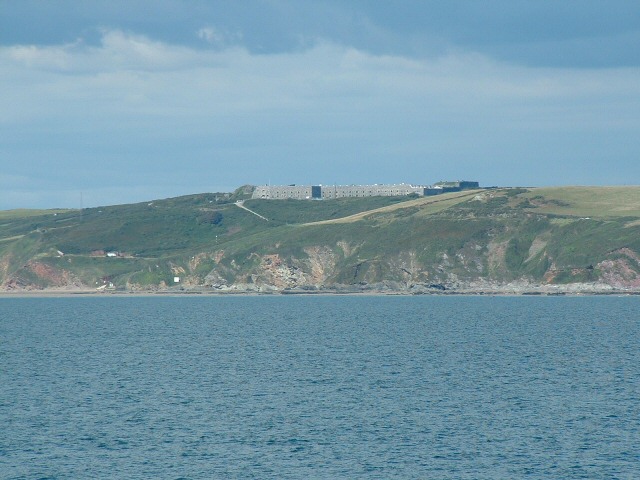
Tregantle Fort
Tregantle Fort in south east Cornwall is one of several forts surrounding Plymouth that were built as a result of a decision in Lord Palmerston's premiership...

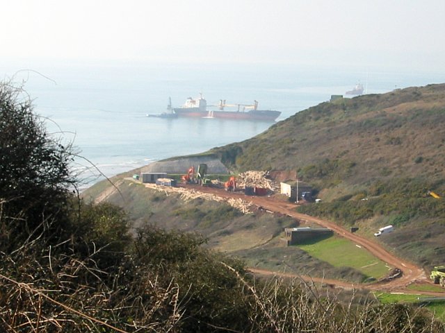
Tregantle Down Battery
Tregantle Down Battery was a high angle gun battery in south east Cornwall. It was built between 1888 and 1894 to defend HMNB Devonport from Whitsand Bay...

Scraesdon Fort
Scraesdon Fort, near the village of Antony, is one of several forts in South East Cornwall which formed part of the ring of forts surrounding Plymouth...

Church of St James, Antony
The Church of St James is a Grade I listed 12th-century Anglican parish church in Antony, Cornwall, England. == History == The church is located in Antony...

Antony, Cornwall
Antony (Cornish: Trevanta) is a coastal civil parish and a village in Cornwall, England, United Kingdom. The village is situated on the Rame Peninsula...
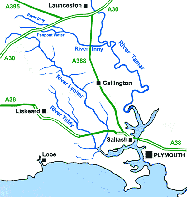
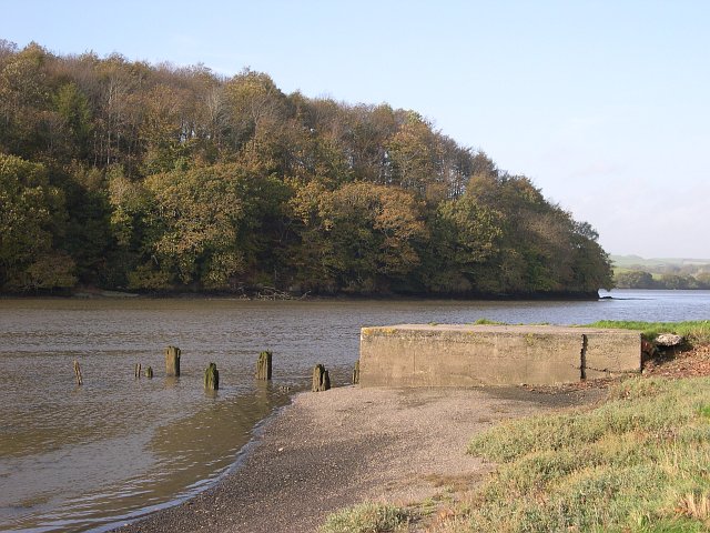
River Lynher
The River Lynher (Cornish: Linar) (or St Germans River downstream from its confluence with the Tiddy) flows through east Cornwall, England, and enters...
St John, Cornwall
St John (parish: Cornish: Pluwjowan, village: Cornish: S. Jowan) is a coastal civil parish and a village in south-east Cornwall, England, United Kingdom...
Nearby Amenities
Located within 500m of 50.363825,-4.2650229Have you been to Anthony?
Leave your review of Anthony below (or comments, questions and feedback).