Anthill Common
Settlement in Hampshire Winchester
England
Anthill Common

Anthill Common is a small village located in the county of Hampshire, England. Situated in the South Downs National Park, the village is surrounded by picturesque countryside and offers a tranquil and idyllic setting for its residents.
The name "Anthill Common" is derived from the abundance of ant hills that can be found in the area, a characteristic that adds to the charm of the village. The common itself is a large open space, covered in lush green grass and dotted with these small mounds, making it a popular spot for picnics and leisurely walks.
The village is primarily residential, with a close-knit community of residents who enjoy the peaceful and rural lifestyle that Anthill Common offers. The houses in the village range from traditional thatched cottages to more modern properties, blending seamlessly with the surrounding natural beauty.
Despite its small size, Anthill Common has a strong sense of community, with various events and activities organized throughout the year. The village hall is a central hub for these gatherings, hosting everything from local fairs to yoga classes. The village also has a quaint pub, the "Antler Inn," where residents and visitors can enjoy a drink or a meal.
For outdoor enthusiasts, Anthill Common offers plenty of opportunities for hiking, cycling, and horse riding, with numerous scenic trails passing through the area. The nearby South Downs Way provides breathtaking views of the surrounding countryside and is a popular route for those seeking a more challenging adventure.
In conclusion, Anthill Common is a charming village in Hampshire that offers a peaceful and picturesque setting for residents and visitors alike. With its strong sense of community and beautiful natural surroundings, it is a hidden gem within the South Downs National Park.
If you have any feedback on the listing, please let us know in the comments section below.
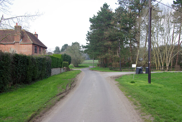
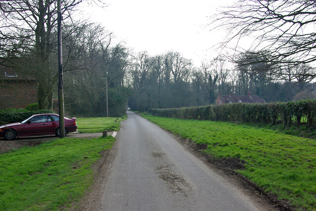
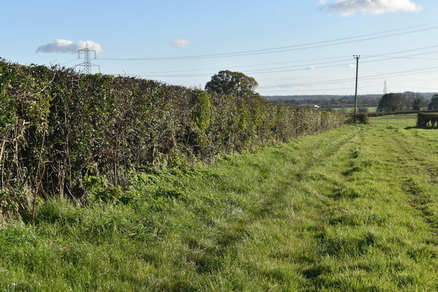
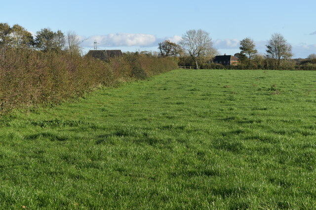
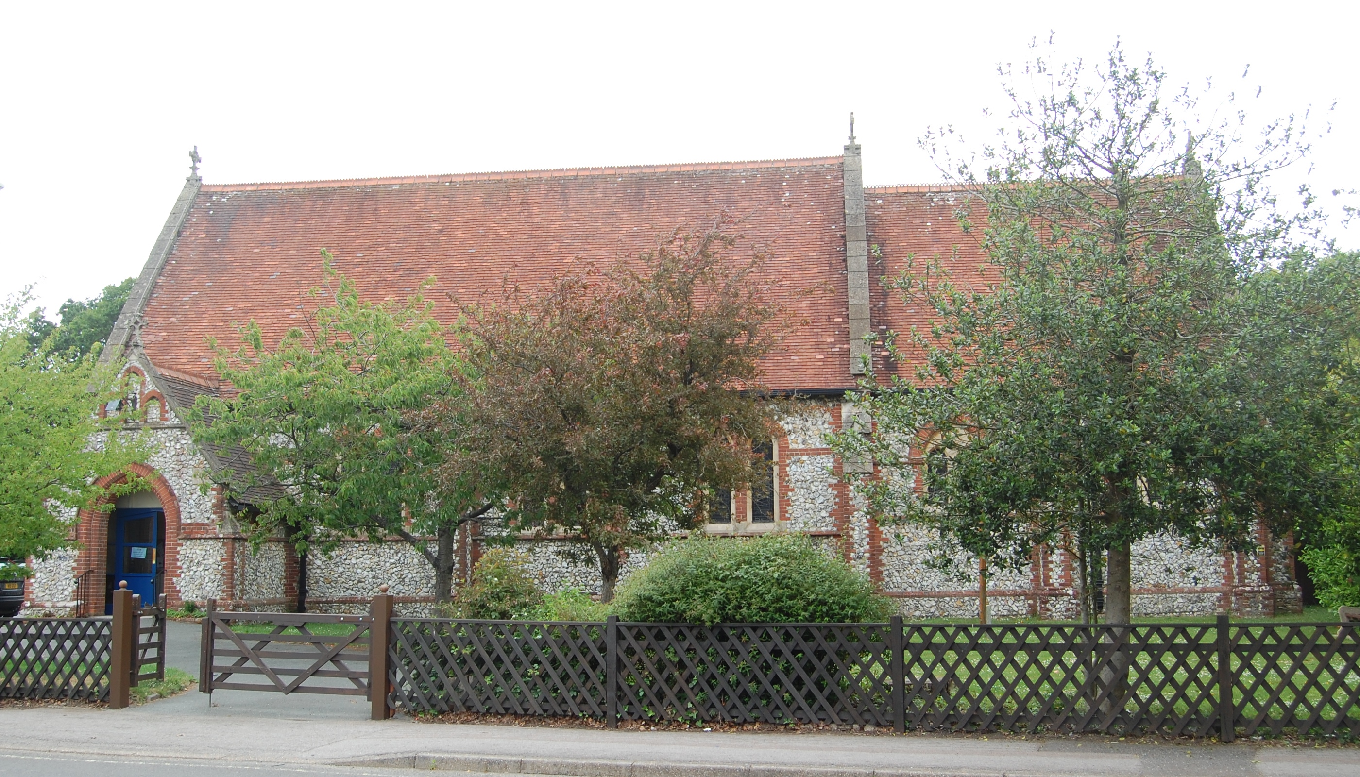
Anthill Common Images
Images are sourced within 2km of 50.909199/-1.082557 or Grid Reference SU6412. Thanks to Geograph Open Source API. All images are credited.


Anthill Common is located at Grid Ref: SU6412 (Lat: 50.909199, Lng: -1.082557)
Administrative County: Hampshire
District: Winchester
Police Authority: Hampshire
What 3 Words
///chromatic.canny.spaceship. Near Denmead, Hampshire
Nearby Locations
Related Wikis

Anthill Common
Anthill Common is a village in Hampshire, England. == External links == Media related to Anthill Common at Wikimedia Commons
Denmead
Denmead is a village in Hampshire near Portsmouth, England. It is part of the City of Winchester district. As of 2005, it had a population of 6,457 and...
Newlands, Hampshire
Newlands is a civil parish in Hampshire, England, in the south-east of the local government district of the City of Winchester. It is composed of the parts...
Worlds End, Hampshire
Worlds End is a small village in the civil parish of Denmead in the City of Winchester district of Hampshire, England. The village is about 7 miles (11...
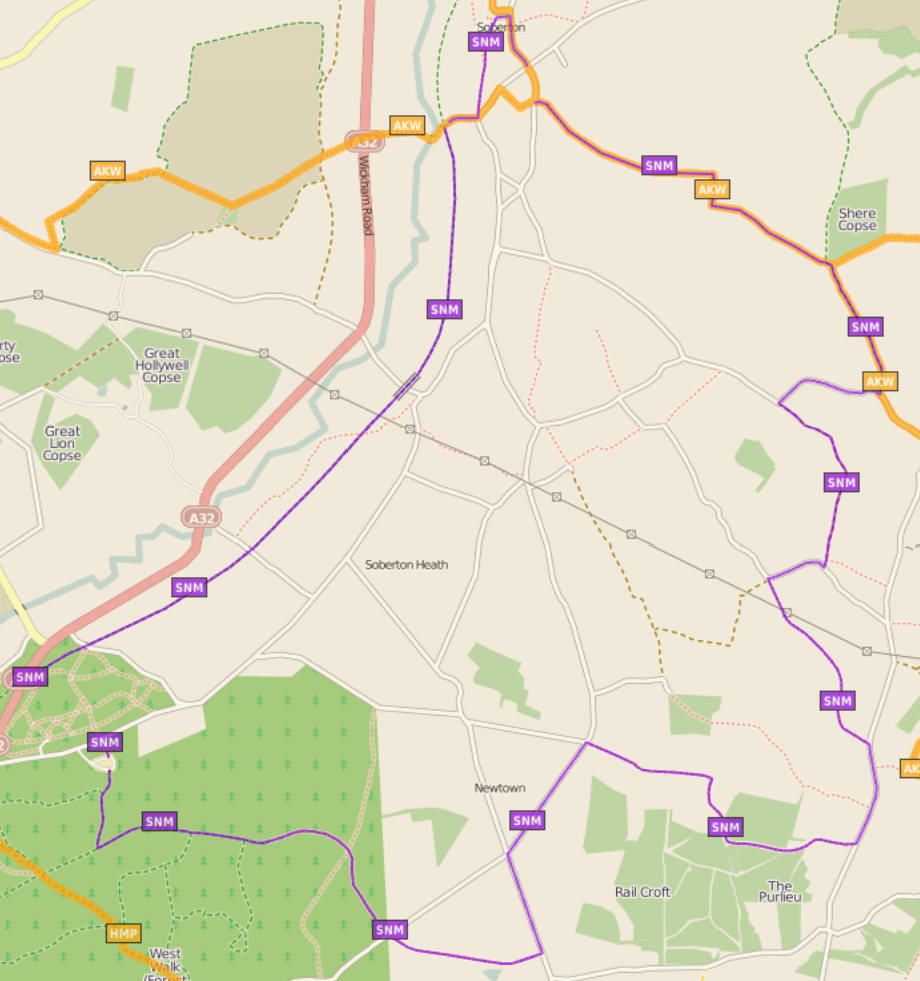
Soberton and Newtown Millennium Walk 2000
The Soberton and Newtown Millennium Walk 2000 is a 10-mile circular footpath through Hampshire, England around villages of Soberton and Newtown. Sections...

Hambledon, Hampshire
Hambledon is a small village and civil parish in the county of Hampshire in England, situated about 10 miles (16 km) north of Portsmouth within the South...
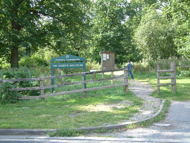
Forest of Bere
The Forest of Bere is a mixed-use partially forested area in Hampshire immediately north of Fareham, Portsmouth and Roman Road, Havant and including a...
Hinton Daubney
Hinton Daubney is a small hamlet in Hampshire, England, located between Catherington and Hambledon. It is the site of one of the earliest recorded sightings...
Nearby Amenities
Located within 500m of 50.909199,-1.082557Have you been to Anthill Common?
Leave your review of Anthill Common below (or comments, questions and feedback).