Berry Hill
Hill, Mountain in Cornwall
England
Berry Hill
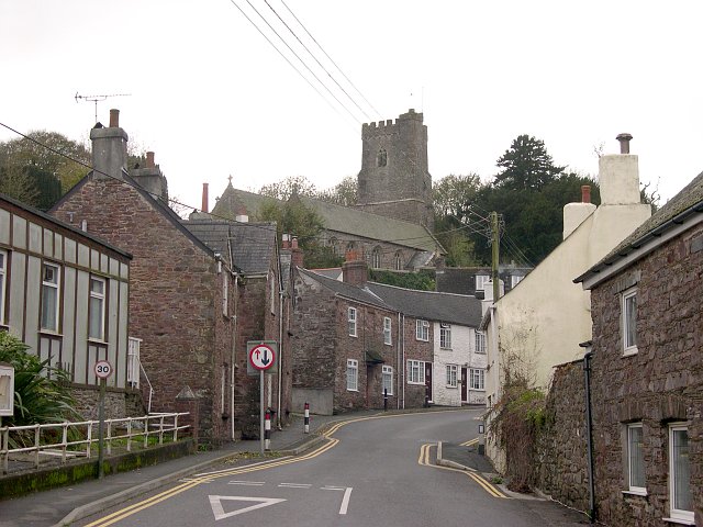
Berry Hill is a small village located in the county of Cornwall, England. Situated on a hill, it offers picturesque views of the surrounding countryside, making it a popular destination for nature lovers and outdoor enthusiasts.
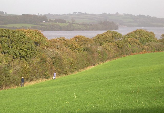
The village is known for its rolling hills and beautiful landscapes, with Berry Hill itself being one of the prominent hills in the area. Standing at an elevation of approximately 250 meters, it provides visitors with stunning panoramic views of the nearby moors, valleys, and woodland.
The area surrounding Berry Hill is rich in biodiversity, with various species of flora and fauna thriving in the diverse habitats. The hill is covered in lush green vegetation, including heather, gorse, and ferns, creating a vibrant and colorful scene especially during the spring and summer months.
Aside from its natural beauty, Berry Hill also has historical significance. The village is dotted with remnants of ancient settlements, such as Iron Age hillforts and Bronze Age burial sites. These archaeological sites offer a glimpse into the area's past and attract history enthusiasts and researchers.
For those seeking outdoor activities, Berry Hill and its surroundings offer ample opportunities. Hiking and walking trails crisscross the area, allowing visitors to explore the scenic countryside at their own pace. The hill is also a popular spot for paragliding and hang gliding, attracting adventure seekers from near and far.
Overall, Berry Hill in Cornwall is a charming village nestled on a hill, offering breathtaking views, rich history, and a range of outdoor activities to suit all tastes. It is a must-visit destination for anyone looking to immerse themselves in the natural beauty of Cornwall.
If you have any feedback on the listing, please let us know in the comments section below.
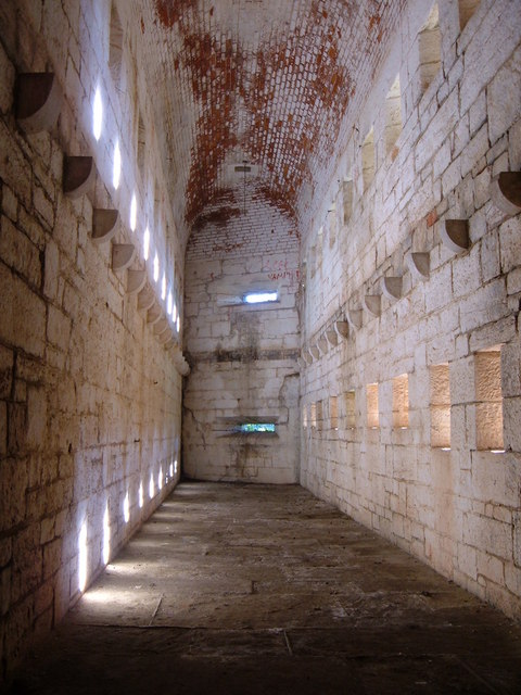
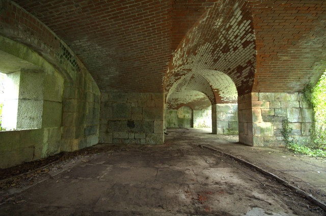
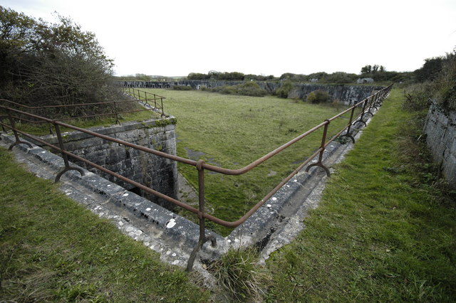
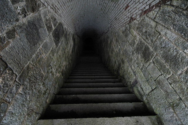
Berry Hill Images
Images are sourced within 2km of 50.372194/-4.2624963 or Grid Reference SX3954. Thanks to Geograph Open Source API. All images are credited.


Berry Hill is located at Grid Ref: SX3954 (Lat: 50.372194, Lng: -4.2624963)
Unitary Authority: Cornwall
Police Authority: Devon and Cornwall
What 3 Words
///swerving.ticking.deadline. Near Millbrook, Cornwall
Nearby Locations
Related Wikis

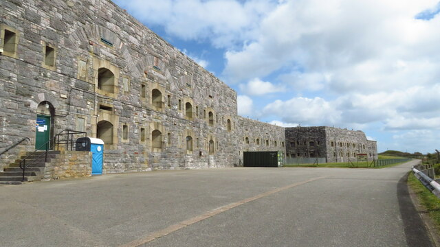
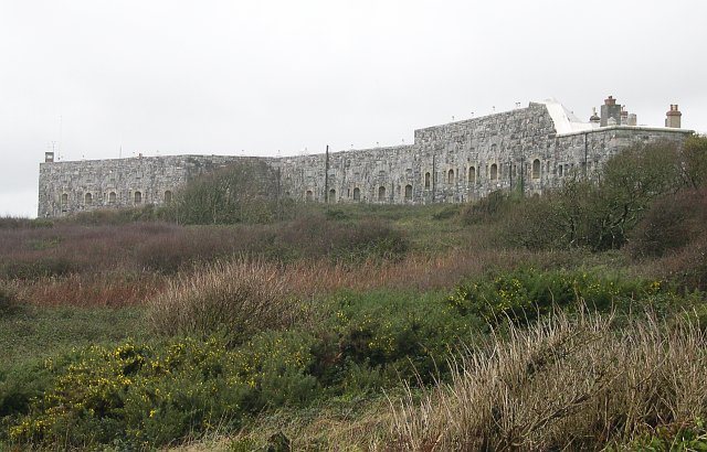
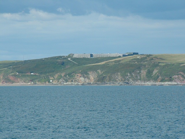
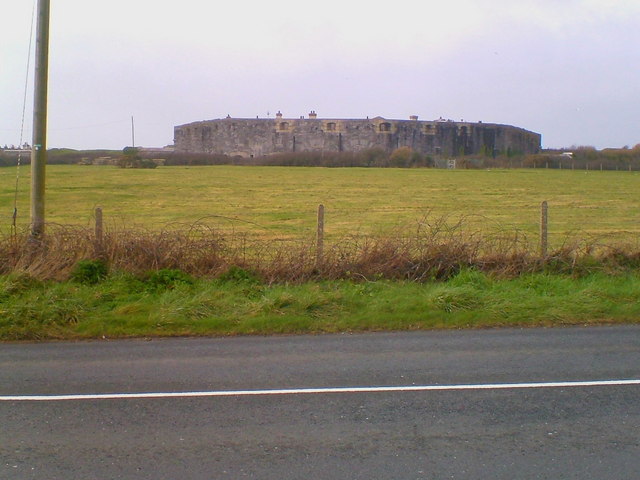
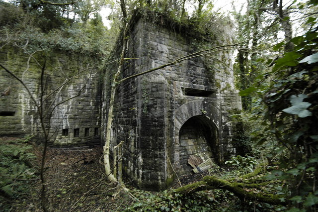
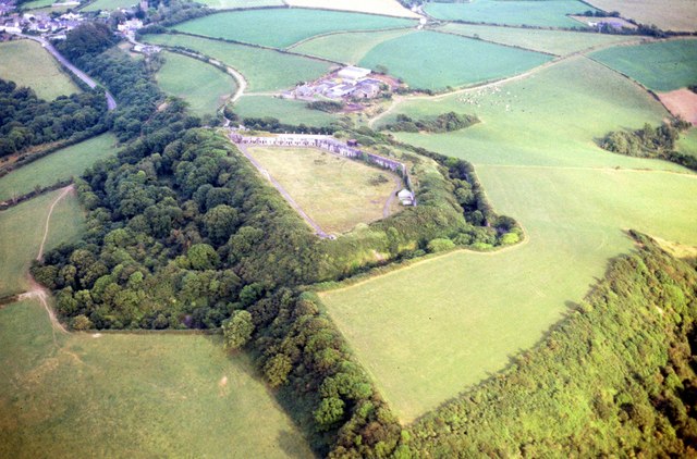
Scraesdon Fort
Scraesdon Fort, near the village of Antony, is one of several forts in South East Cornwall which formed part of the ring of forts surrounding Plymouth...

Church of St James, Antony
The Church of St James is a Grade I listed 12th-century Anglican parish church in Antony, Cornwall, England. == History == The church is located in Antony...
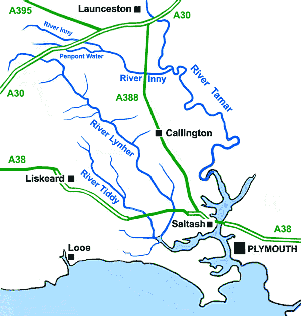
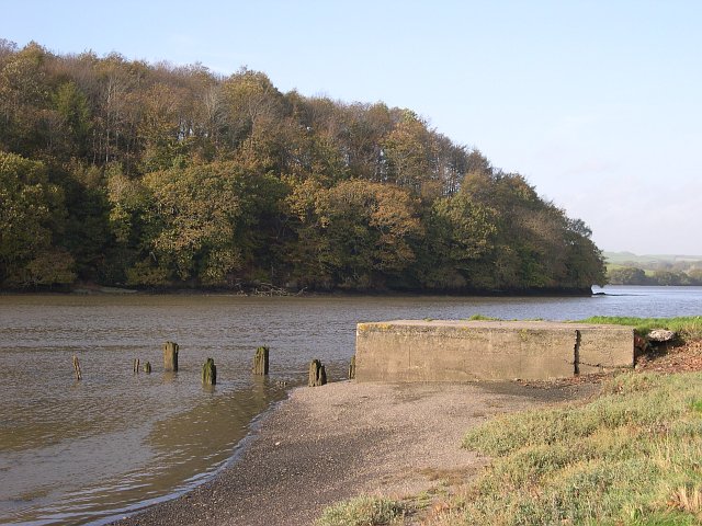
River Lynher
The River Lynher (Cornish: Linar) (or St Germans River downstream from its confluence with the Tiddy) flows through east Cornwall, England, and enters...

Antony, Cornwall
Antony (Cornish: Trevanta) is a coastal civil parish and a village in Cornwall, England, United Kingdom. The village is situated on the Rame Peninsula...
Nearby Amenities
Located within 500m of 50.372194,-4.2624963Have you been to Berry Hill?
Leave your review of Berry Hill below (or comments, questions and feedback).