Dearbought Wood

Wood, Forest in Lancashire South Lakeland

England

Dearbought Wood

Farmland at High Nibthwaite South of Coniston Water. The crag on the left is Brook Barrow
Farmland at High Nibthwaite Credit: Eirian Evans

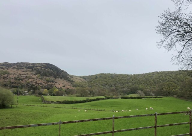
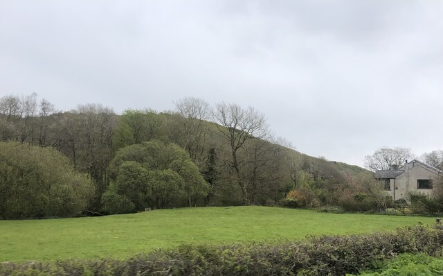
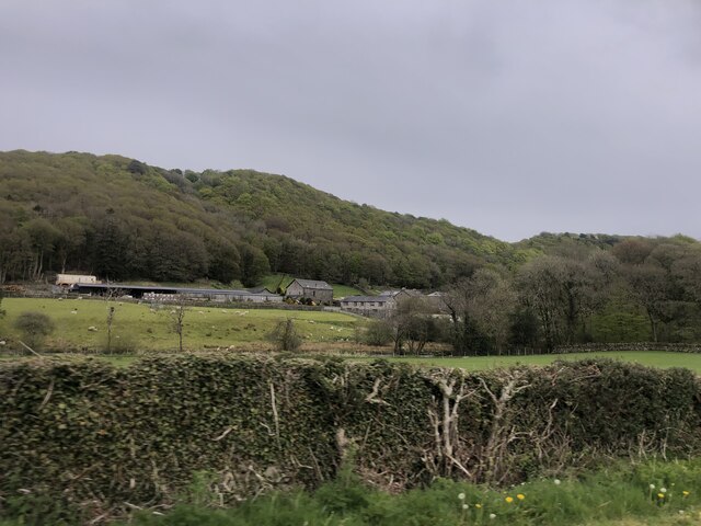
Dearbought Wood is a picturesque forest located in Lancashire, England. Spanning across a vast area of lush greenery, this wood is a haven for nature lovers and outdoor enthusiasts alike. With its rich history and diverse range of flora and fauna, it offers a tranquil escape from the bustling city life.

The wood is known for its dense canopies of towering trees, predominantly consisting of oak, beech, and birch. This creates a unique and enchanting atmosphere, perfect for long walks and peaceful hikes. The forest floor is adorned with a carpet of vibrant wildflowers, adding to the beauty of the surroundings.

Home to a variety of wildlife, Dearbought Wood provides ample opportunities for birdwatching and animal spotting. Visitors may encounter deer, foxes, badgers, and a wide array of bird species that call this woodland their home. The wood also houses several designated bird hides, allowing enthusiasts to observe the avian inhabitants undisturbed.

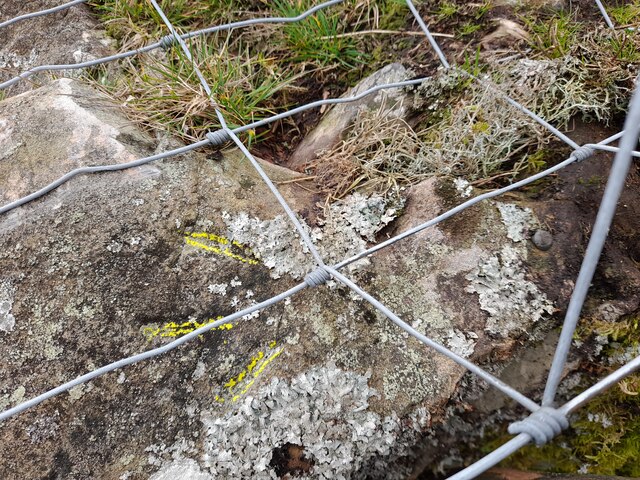
Dearbought Wood has a rich cultural heritage, with evidence of human activity dating back to ancient times. Remnants of old settlements, stone circles, and burial mounds can still be found within the wood, serving as a testament to its significance throughout history.

The wood is open to the public and offers well-maintained walking trails, picnic areas, and visitor facilities. It is a popular destination for families, nature photographers, and individuals seeking solace in the midst of nature. Whether it's a leisurely stroll, a picnic, or a day of exploration, Dearbought Wood is a captivating destination that showcases the natural beauty of Lancashire.

If you have any feedback on the listing, please let us know in the comments section below.

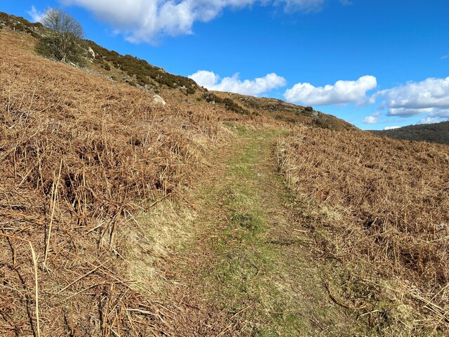
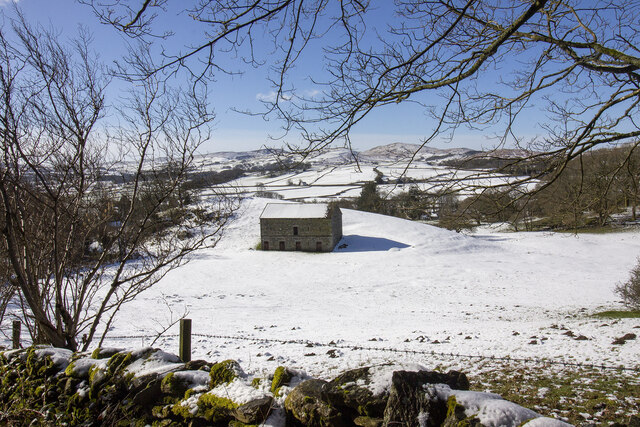
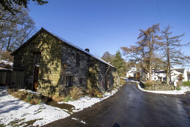
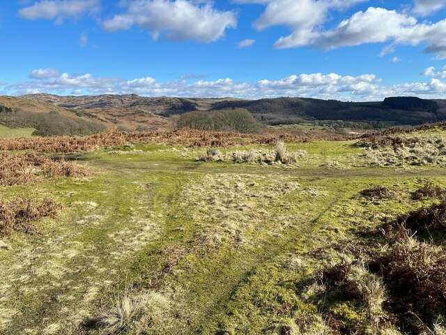
Dearbought Wood Images

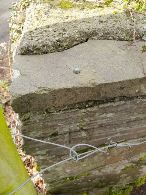
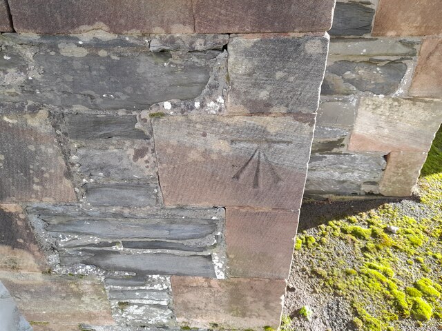
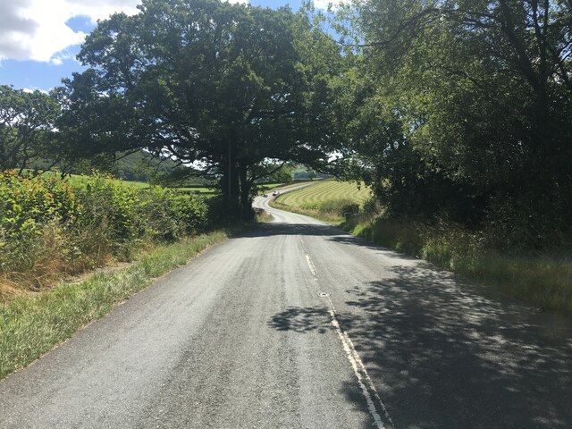
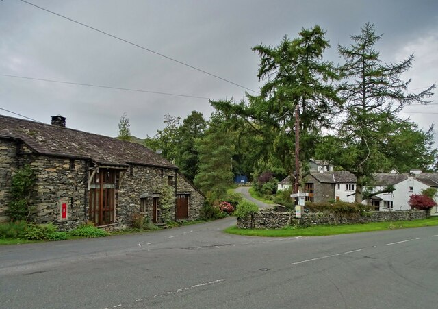
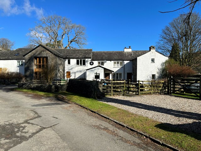
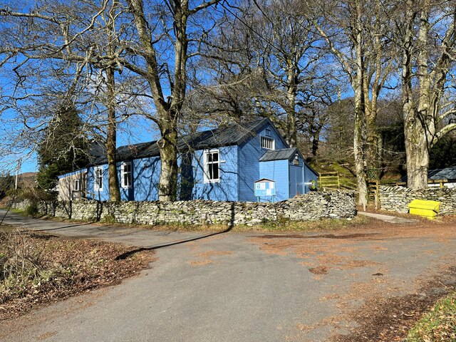
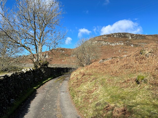
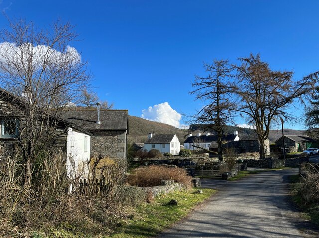
Images are sourced within 2km of 54.278811/-3.0927692 or Grid Reference SD2887. Thanks to Geograph Open Source API. All images are credited.

Farmland at High Nibthwaite South of Coniston Water. The crag on the left is Brook Barrow
Farmland at High Nibthwaite
South of Coniston Water. The crag on the left is Brook Barrow
Wide valley of the River Crake
Former Blawith church Formerly this was the Church of St John the Baptist but it became redundant in 1988 and was sold to be converted in 2012
Former Blawith church
Formerly this was the Church of St John the Baptist but it became redundant in 1988 and was sold to be converted in 2012
Field by the River Crake The trees mark the route of the River Crake at Lowick
Field by the River Crake
The trees mark the route of the River Crake at Lowick
Bridgefield Farm Across the River Crake from Lowick.
Bridgefield Farm
Across the River Crake from Lowick.
Ordnance Survey Rivet This OS rivet can be found on a rock south side of the road. It marks a point 75,204m above mean sea level.
Ordnance Survey Rivet
This OS rivet can be found on a rock south side of the road. It marks a point 75,204m above mean sea level.
Ordnance Survey Rivet This OS rivet can be found on the NE parapet of the bridge. It marks a point 61.586m above mean sea level.
Ordnance Survey Rivet
This OS rivet can be found on the NE parapet of the bridge. It marks a point 61.586m above mean sea level.
Ordnance Survey Cut Mark This OS cut mark can be found on the south angle of St Luke's Church. It marks a point 54.979m above mean sea level.
Ordnance Survey Cut Mark
This OS cut mark can be found on the south angle of St Luke's Church. It marks a point 54.979m above mean sea level.
A5084 in the Crake Valley
Road junction in Water Yeat
Water Yeat Mill This former corn mill was supplied with water power by Greenholme Beck, fed by Beacon Tarn.  It was converted in the mid-1960s into sheltered accommodation for elderly people and now, much altered, it is partly residential with the remainder let for holidays.
Water Yeat Mill
This former corn mill was supplied with water power by Greenholme Beck, fed by Beacon Tarn. It was converted in the mid-1960s into sheltered accommodation for elderly people and now, much altered, it is partly residential with the remainder let for holidays.
Blawith and Nibthwaite Village Hall This small, wooden village hall is located in Water Yeat.  It is run as a charity by and for the benefit of the local community.
Blawith and Nibthwaite Village Hall
This small, wooden village hall is located in Water Yeat. It is run as a charity by and for the benefit of the local community.
The road to Greenholme Farm Bowder Knott is the hill in the right background.
The road to Greenholme Farm
Bowder Knott is the hill in the right background.
Water Yeat The building on the left is a former corn mill, supplied with water power by Greenholme Beck.
Water Yeat
The building on the left is a former corn mill, supplied with water power by Greenholme Beck.
Track near Greenholme Farm
New Barn
New Barn
Silver Howe Converted vernacular farm building
Silver Howe
Converted vernacular farm building
Paths near Appletree Holme At this junction of paths on Blawith Common northbound walkers following The Cumbria Way keep left (next photograph <a href="https://www.geograph.org.uk/photo/7429743">SD2788 : Path near Appletree Holme</a>).
Paths near Appletree Holme
At this junction of paths on Blawith Common northbound walkers following The Cumbria Way keep left (next photograph SD2788 : Path near Appletree Holme).
Show me another place!

Dearbought Wood is located at Grid Ref: SD2887 (Lat: 54.278811, Lng: -3.0927692)

Administrative County: Cumbria

District: South Lakeland

Police Authority: Cumbria

What 3 Words

///printers.punch.poses. Near Ulverston, Cumbria

Related Wikis

Blawith and Subberthwaite

Blawith and Subberthwaite is a civil parish in the South Lakeland district of Cumbria, England. It is situated in the Lake District National Park, and...

St John the Baptist's Church, Blawith

St John the Baptist's Church is a redundant Anglican church in the settlement of Blawith, Cumbria, England. It is located to the east of the A5084 road...

Furness

Furness ( FUR-niss, fur-NESS) is a peninsula and region of Cumbria, England. Together with the Cartmel Peninsula it forms North Lonsdale, historically...

Lowick, Cumbria

Lowick is a village and civil parish in the South Lakeland district of the English county of Cumbria. Prior to 1 April 1974 it was part of Lancashire,...

Nearby Amenities

Located within 500m of 54.278811,-3.0927692
Post Box
Brand: Royal Mail
Brand Wikidata: Q638098
Collection Times: Mo-Fr 10:45; Sa 10:00
Operator: Royal Mail
Operator Wikidata: Q638098
Post Box Type: lamp
Ref: LA12 96
Royal Cypher: EIIR
Royal Cypher Wikidata: Q33102113
Source: survey
Lat/Long: 54.2778655/-3.0892336
Birk Row Farm
Place: hamlet
Lat/Long: 54.2801612/-3.0861626
Barrier: stile
Lat/Long: 54.2801632/-3.0998413
Barrier: kissing_gate
Lat/Long: 54.2796663/-3.0900657
Barrier: stile
Lat/Long: 54.2797579/-3.0980815
Barrier: stile
Lat/Long: 54.2798936/-3.0989773
Barrier: stile
Lat/Long: 54.2800299/-3.0994675
Power: pole
Lat/Long: 54.2813543/-3.0982934
Power: pole
Lat/Long: 54.2805776/-3.0986796
Power: pole
Lat/Long: 54.2798518/-3.099082
Power: pole
Lat/Long: 54.2789318/-3.0993488
Power: pole
Lat/Long: 54.2782537/-3.0995822
Power: pole
Lat/Long: 54.2777135/-3.0997753
The Knotts
Place: locality
Lat/Long: 54.2787517/-3.0955656
Blawith
Traffic Sign: city_limit
Lat/Long: 54.281581/-3.0904039
Power: pole
Lat/Long: 54.2824387/-3.0916217
Power: pole
Lat/Long: 54.2816464/-3.0914815
Power: pole
Lat/Long: 54.2804086/-3.0911725
Power: pole
Lat/Long: 54.279304/-3.0909609
Power: pole
Lat/Long: 54.2782397/-3.0907066
Power: pole
Lat/Long: 54.2767784/-3.0904048
Power: pole
Lat/Long: 54.2758403/-3.0902027
Power: pole
Lat/Long: 54.2746981/-3.0899365
Power: pole
Lat/Long: 54.2803545/-3.086338
Power: pole
Lat/Long: 54.28041/-3.0864212
Power: pole
Lat/Long: 54.2805335/-3.0868585
Power: pole
Lat/Long: 54.2807666/-3.0876239
Power: pole
Lat/Long: 54.280843/-3.0885271
Power: pole
Lat/Long: 54.2809123/-3.089416
Power: pole
Lat/Long: 54.2807777/-3.0898961
Power: pole
Lat/Long: 54.2806348/-3.0904285
The data included in this document is from www.openstreetmap.org. The data is made available under ODbL.

Have you been to Dearbought Wood?

Leave your review of Dearbought Wood below (or comments, questions and feedback).